TRIP REPORT: Giant Ledge and Panther Mountain – Catskills, NY 2-27-16
Hiking stats at a glance:
Trailhead: Rt47 DEC Parking Area
Miles Round trip: ~7
Total Elevation Gain: ~1560 ft
1 High Peak: Panther Mountain 3,720 ft
In an effort to slowly complete our Catskills High Peak list we went with Panther mountain which is one of the four peaks required to be climbed in winter to complete the Catskill list. We got a late start and arrived at the trailhead parking lot at about 12:30. The parking lot was fairly small and mostly crowded but we were able to get a spot. We gathered our gear and hit the trail quickly after.
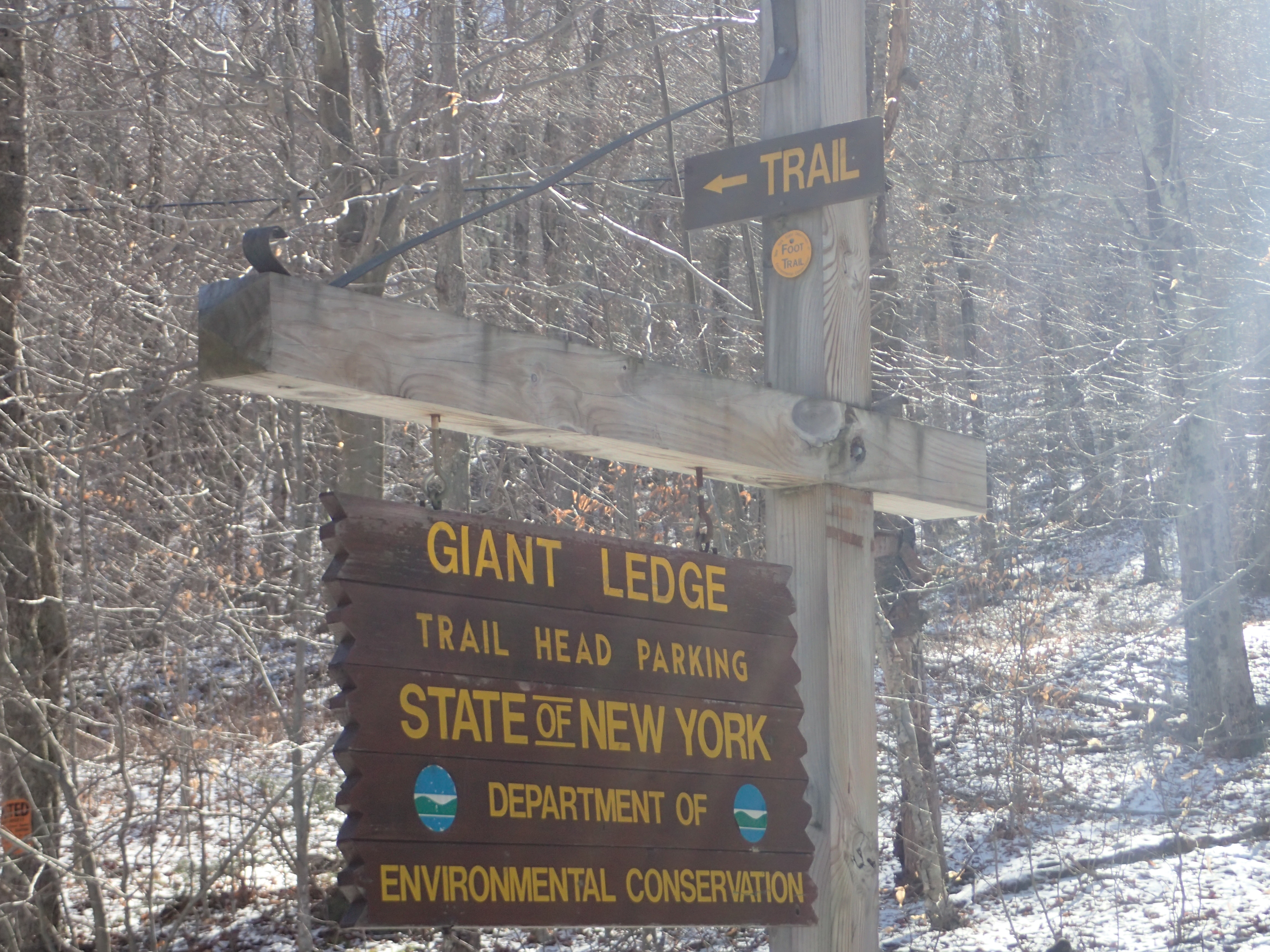
Sign in the parking lot off the Rt 47
The parking lot is actually on the opposite side of the road from the start of the trail, but it is only a short walk up the hill. The trail starts at a small wooden bridge which leads to the trail register.
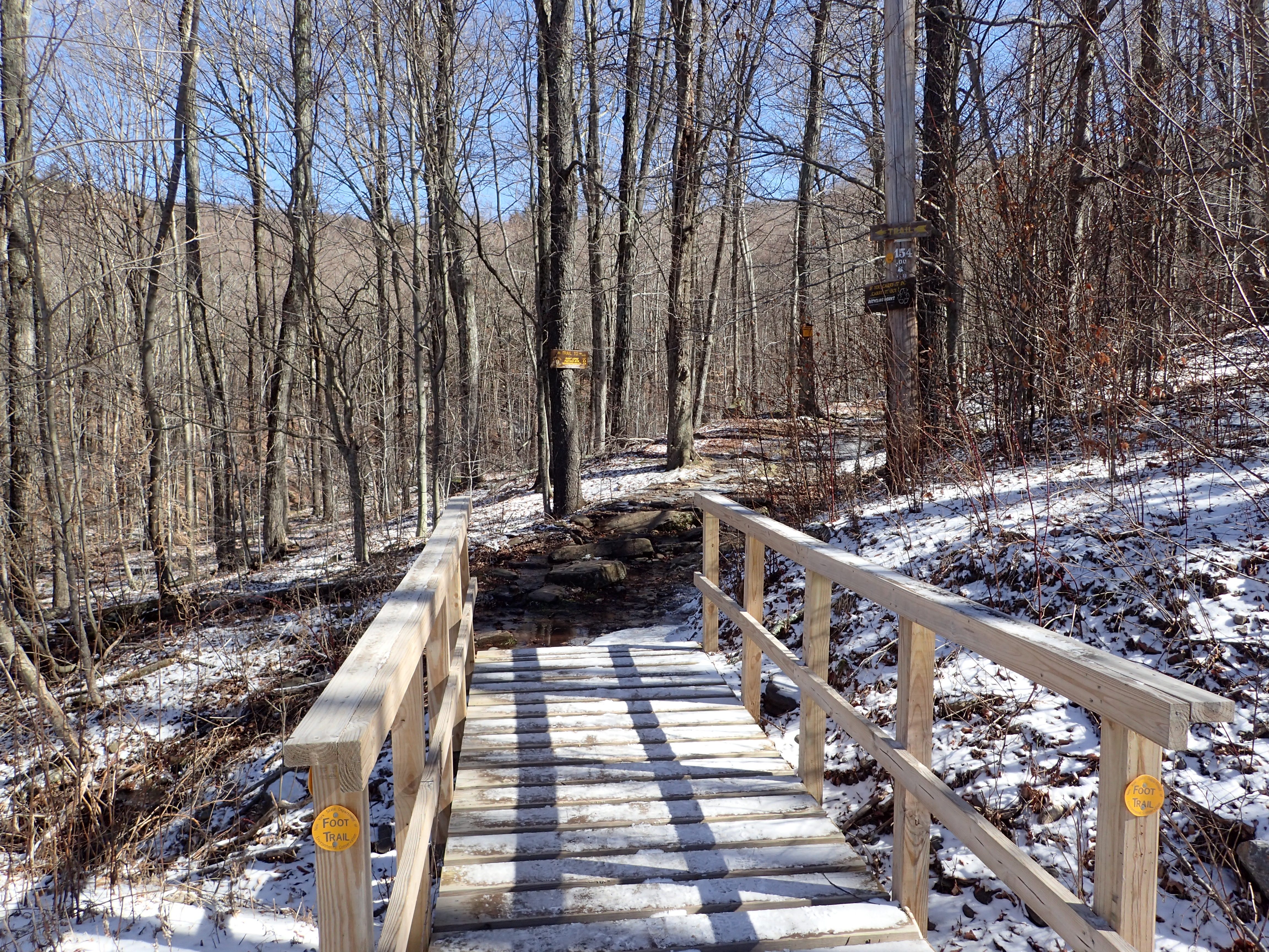
Bridge at the start of the trail.
After signing in at the register we started our hike down the trail which at times was more ice than bare ground.
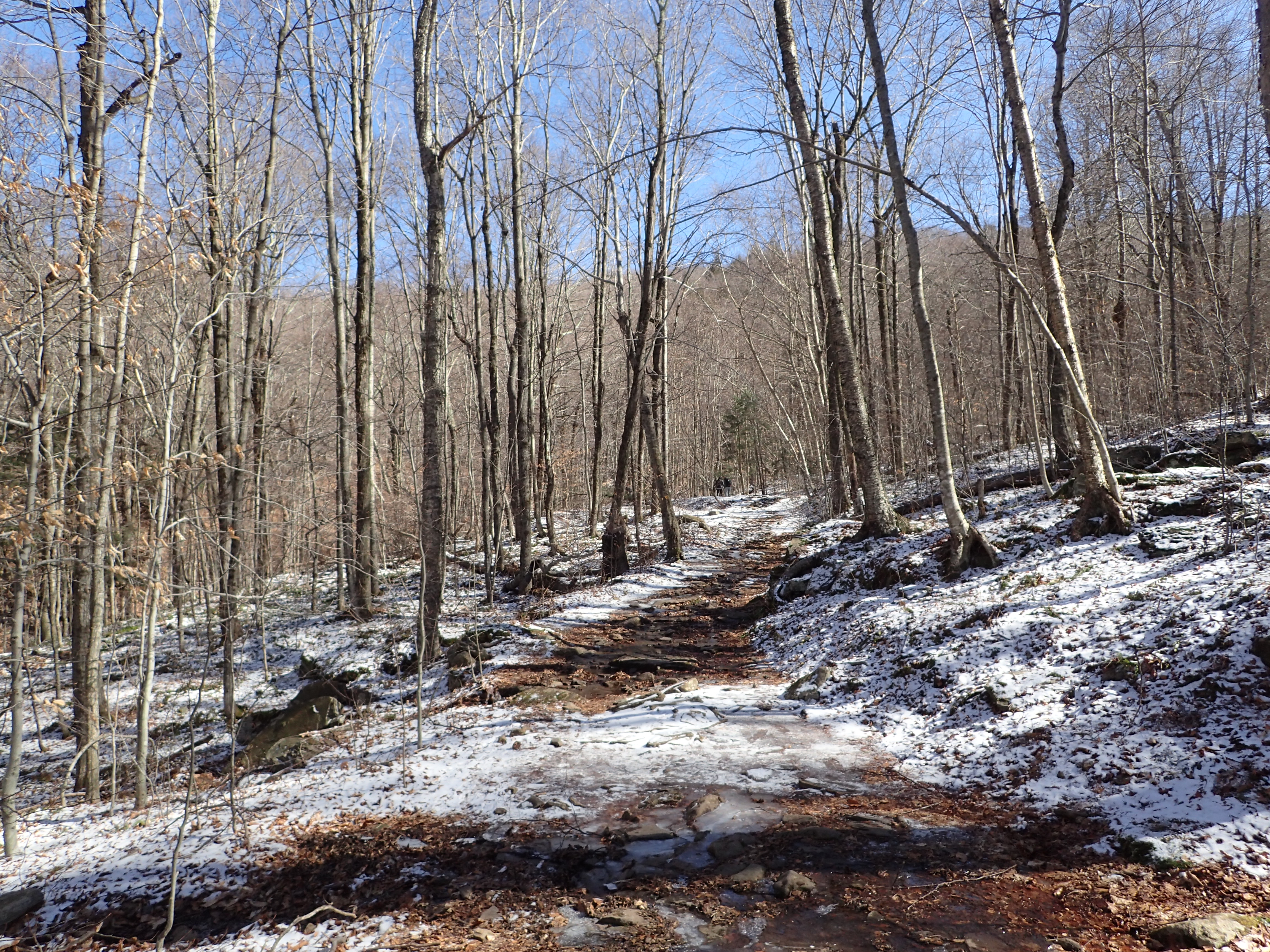
Start of the trail after the trail register.
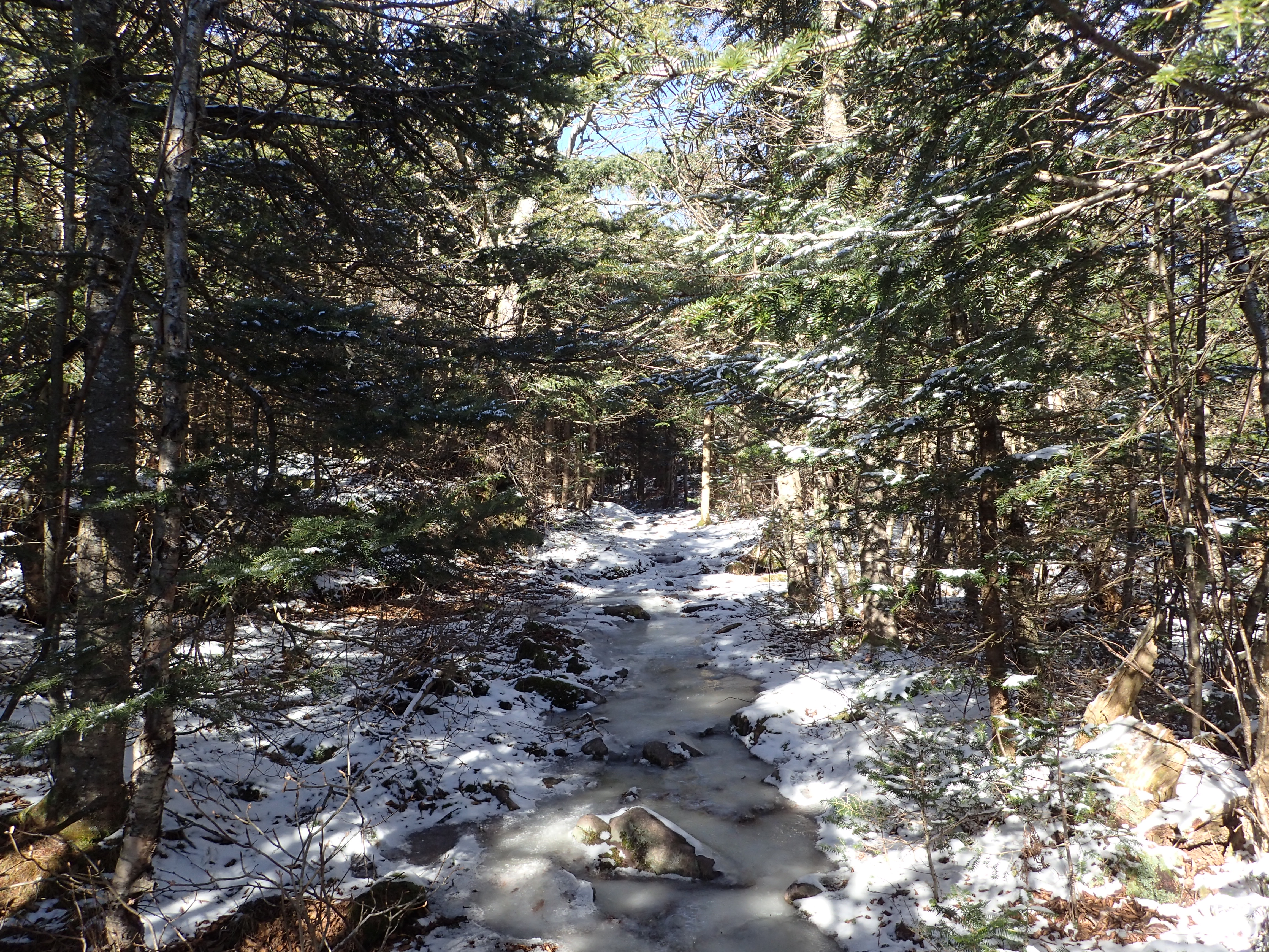
The hike starts pretty easily as it winds its way through the woods on a mostly flat trail. We didn’t use our micro spikes from the beginning but it would of certainly been helpful. After passing this short flat section we crossed a second wooden bridge over the brook and the trail began to wind its way up the rocky hillside. The trail is well marked and very obvious so there is no real danger of losing your way.
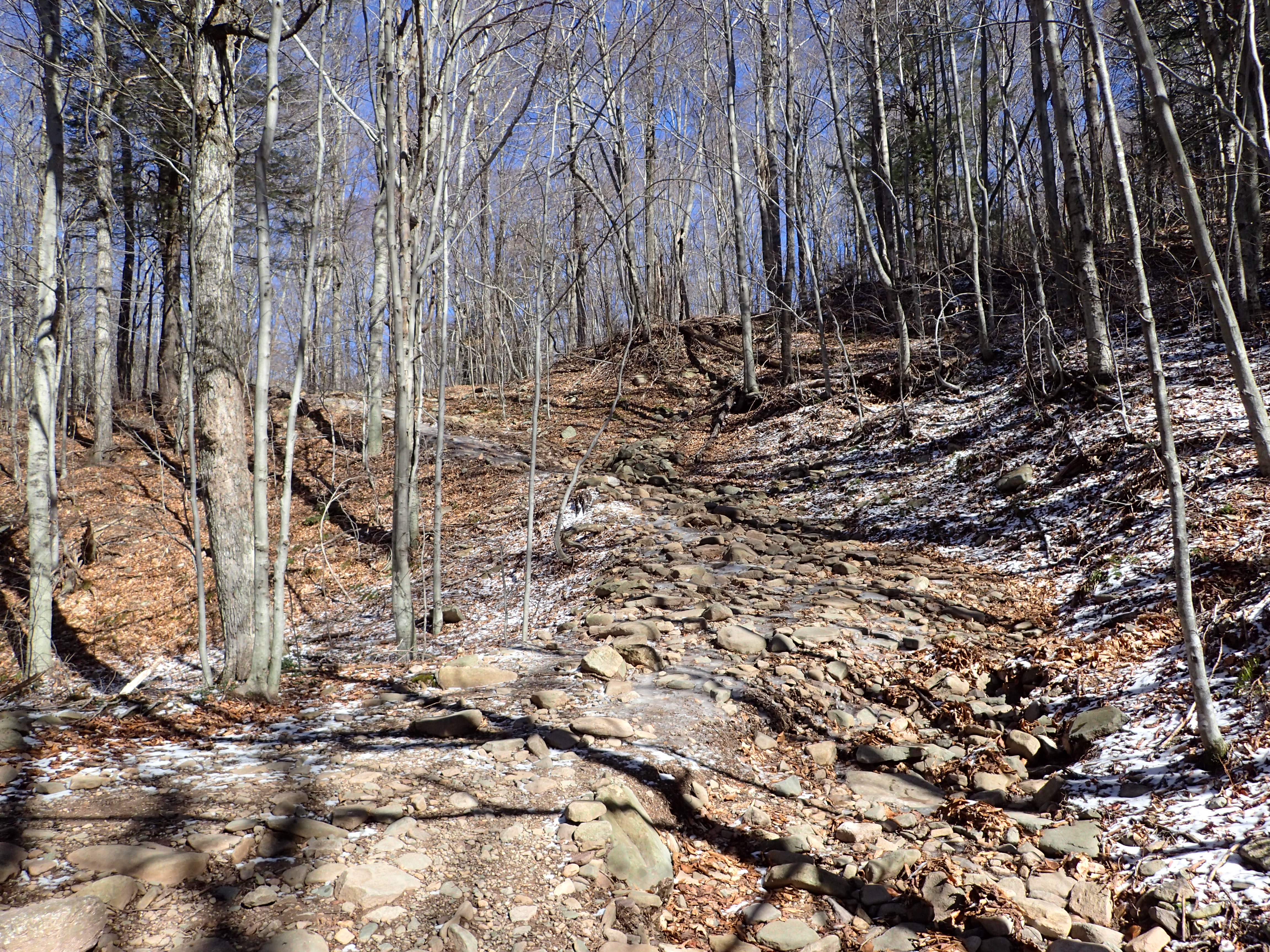
Start of the rocky section.
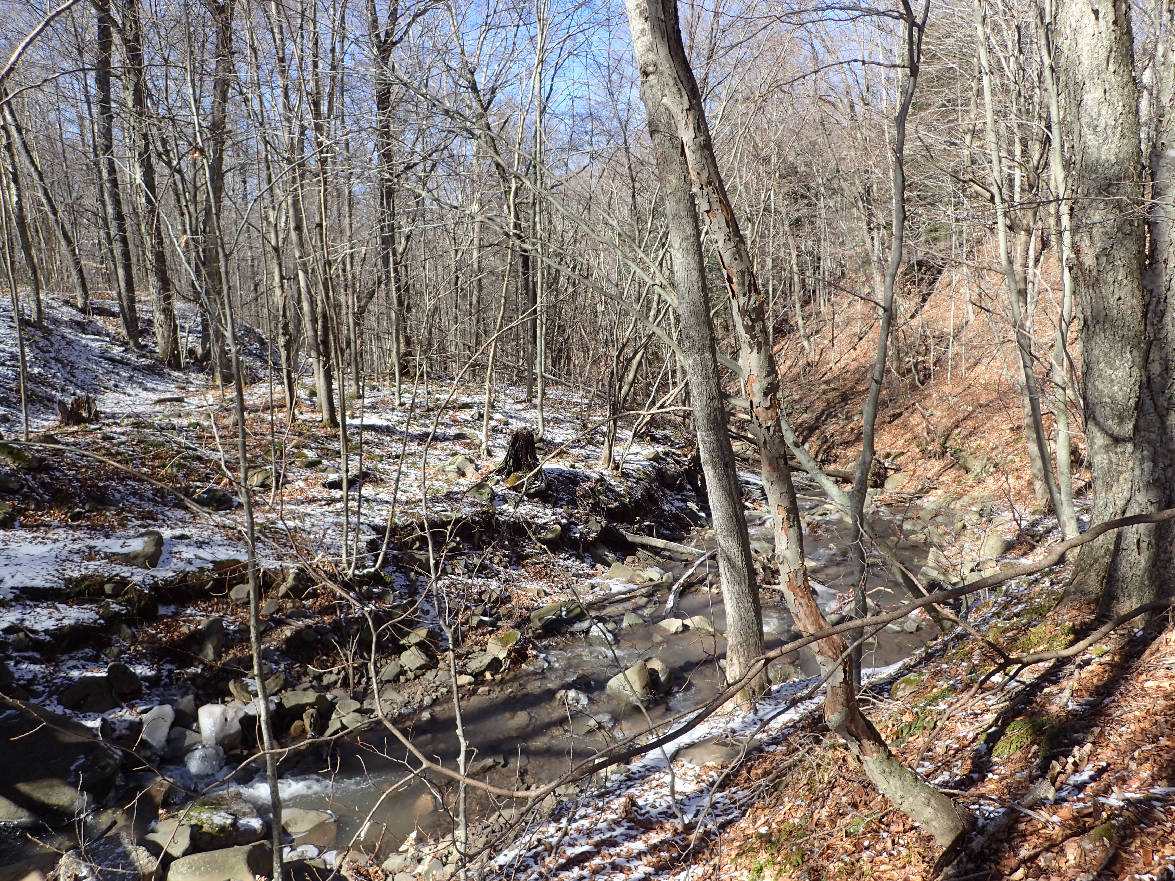
A not so good picture of the brook we crossed on the wooden bridge.
I should probably admit that hiking in the Catskills is not a particular favorite of mine but they do offer a great place to train and dial in your systems. This particular trail was not overly challenging or exciting but it did offer us a great opportunity to be outside and we couldn’t have asked for better weather this time of year. The trail continued up an increasingly rocky hillside after crossing the bridge and went on this way for a while.
Rocky trail leading up the mountain.
As we neared the crest of the first ridge the trail turned into a pretty solid ice sheet however it was fairly easy to navigate around it, even without our micro spikes on.
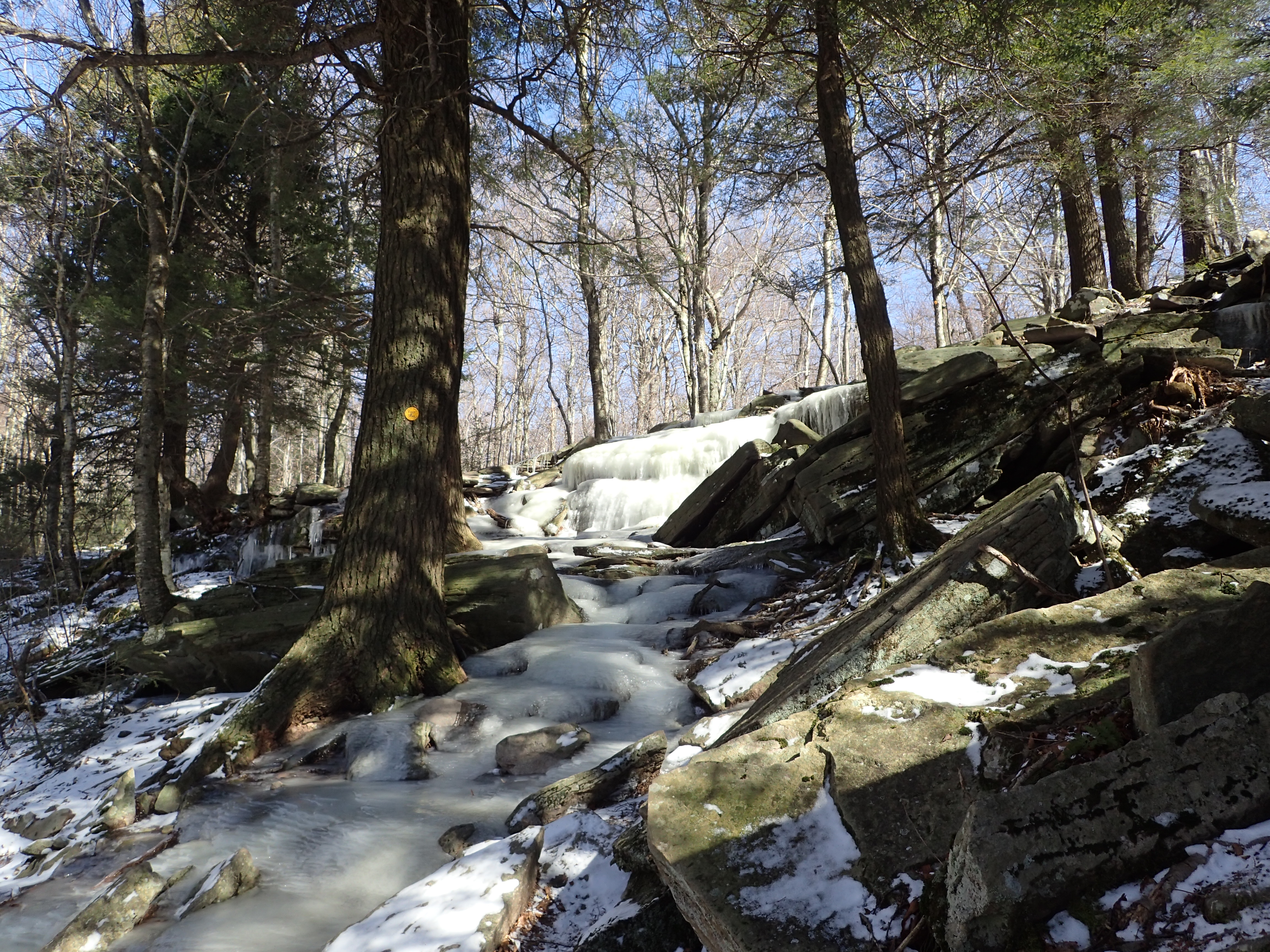
Ice sheet near the crest of the ridge.
After passing this very icy section a short walk on flat ground brought us to the first and only trail junction we encountered on our hike. From here we hung a left and proceeded towards Giant Ledge and Panther mountain.
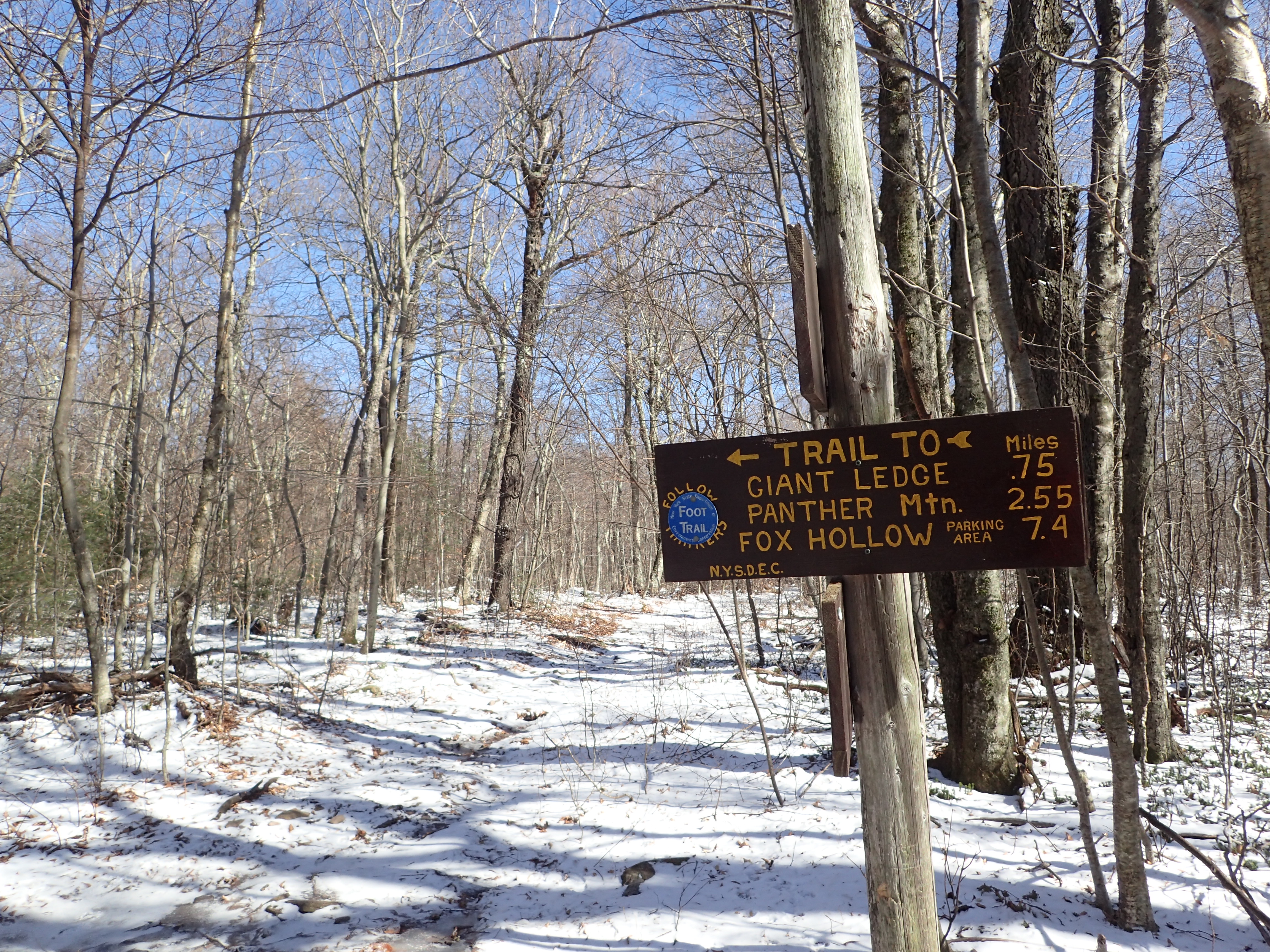
First and only trail junction.
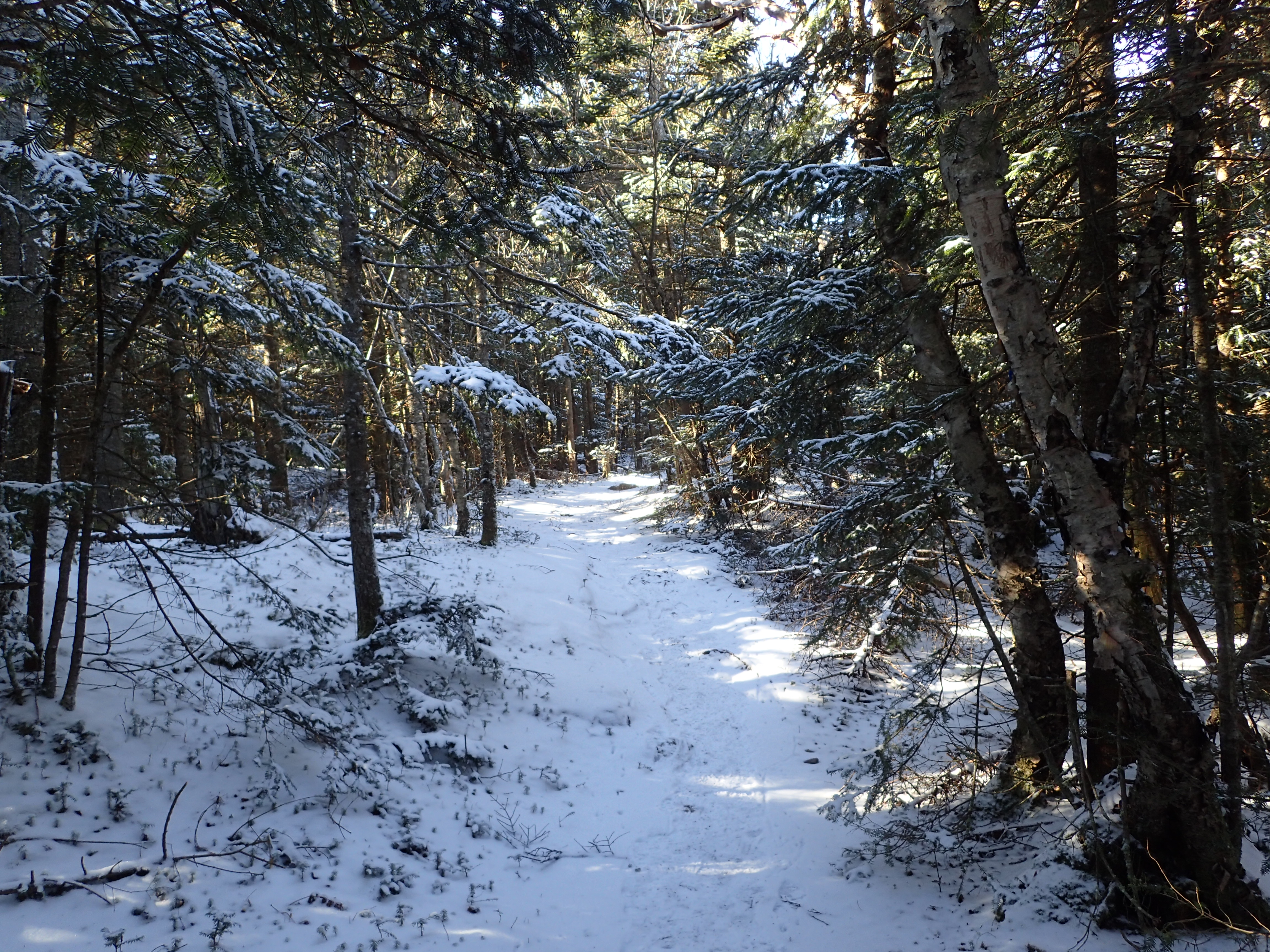
The previous section before reaching the junction accounted for the majority of the elevation gain on the hike and from this point on any elevation gain was fairly spread out as we made our way up the ridge. Immediately following the junction the trail was fairly flat for a while before we began making our way up the next short slope to the Giant Ledge ridge.
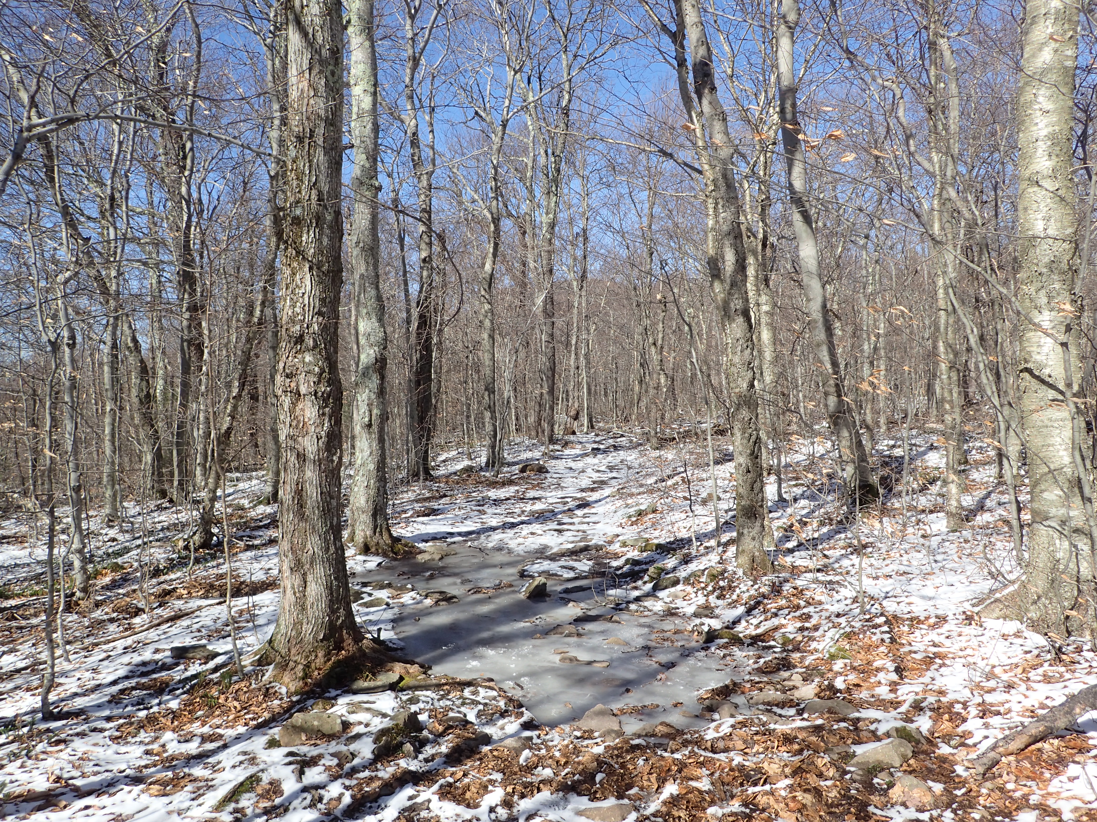
Trail following the junction.
As we began working our way up the hillside to Giant Ledge we passed another sign which marked a turn off for a spring where water can be found. Since everything was frozen solid we didn’t bother stopping for a closer look.
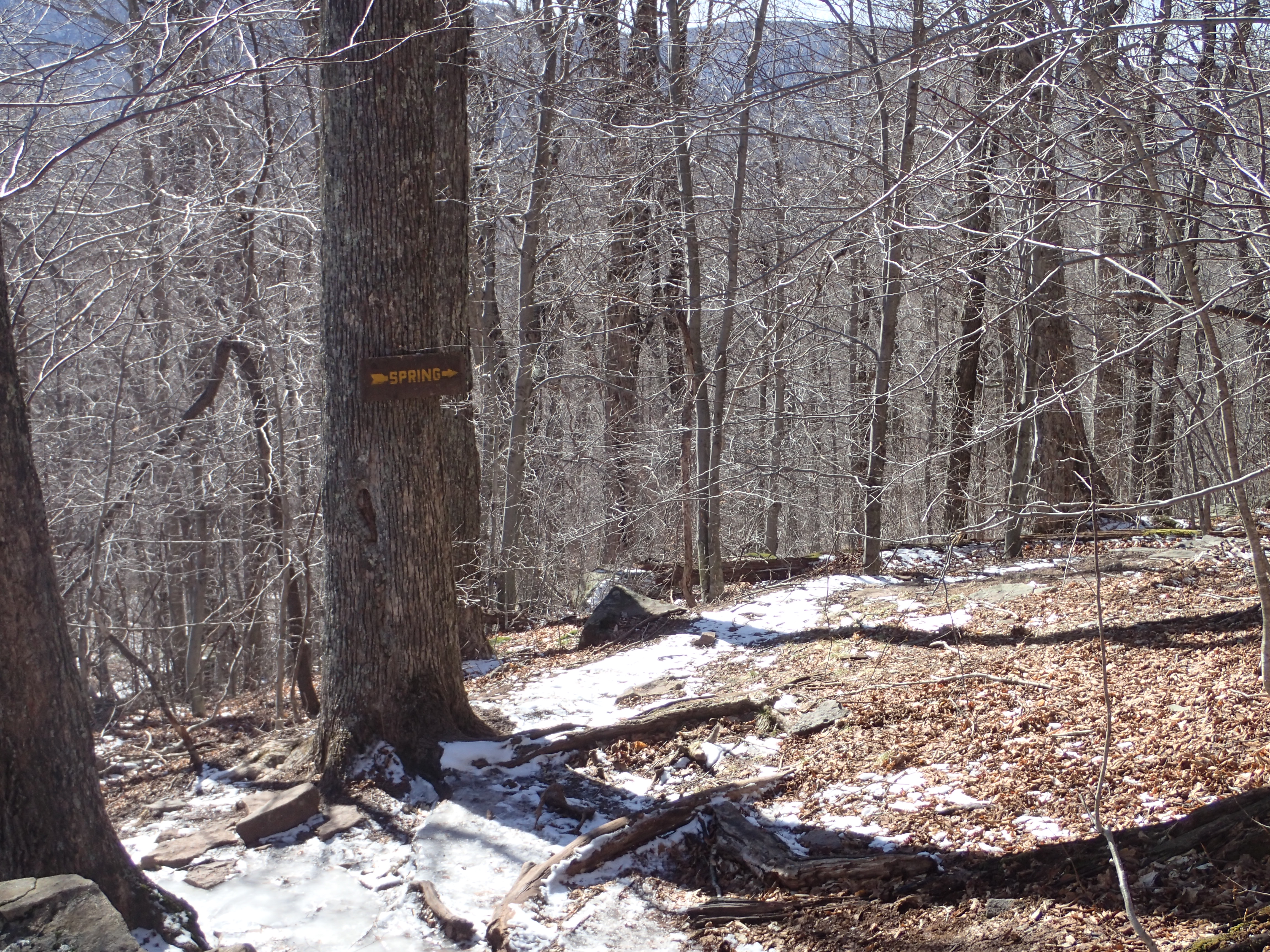
Sign marking the location of the spring.
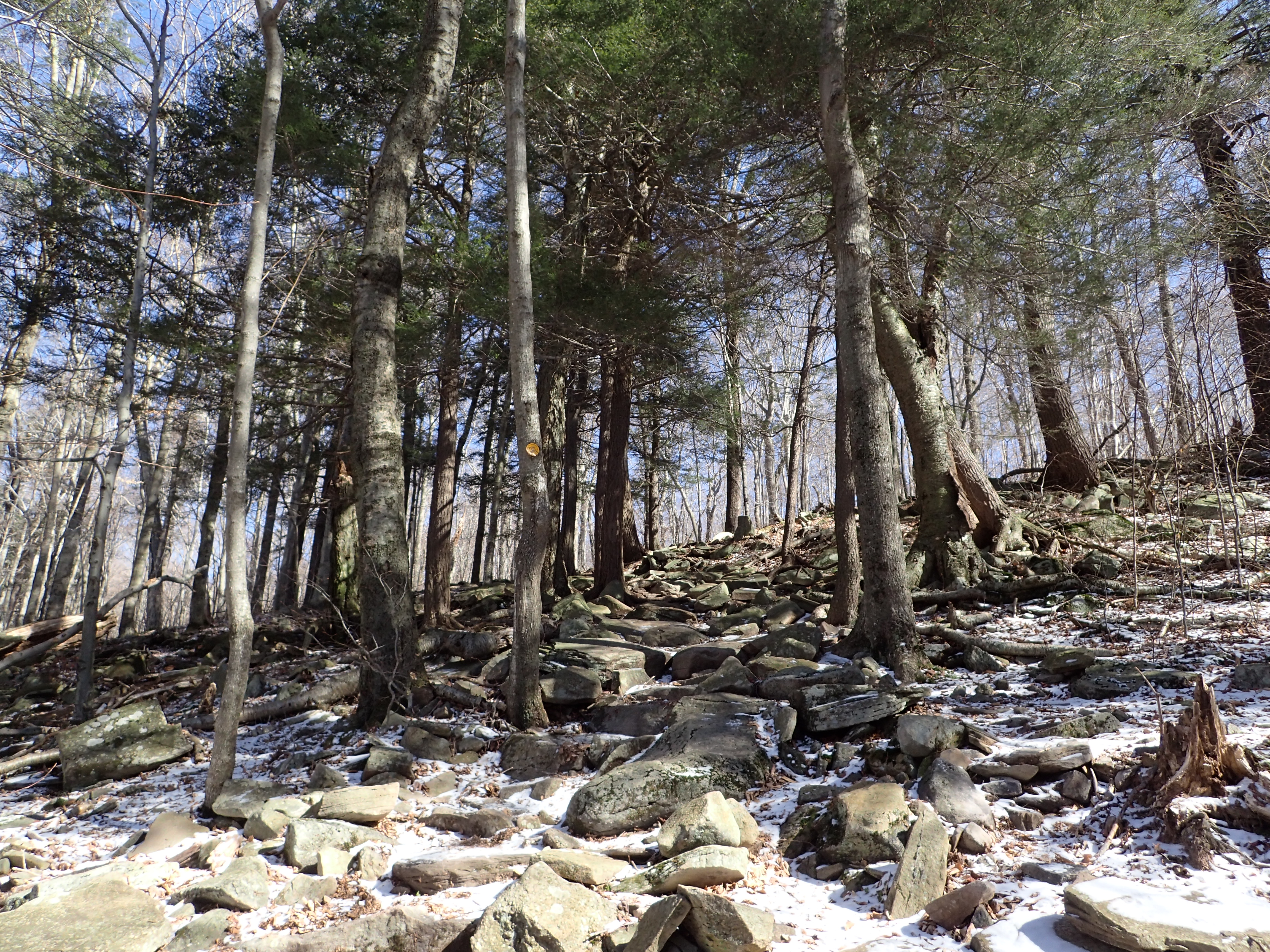
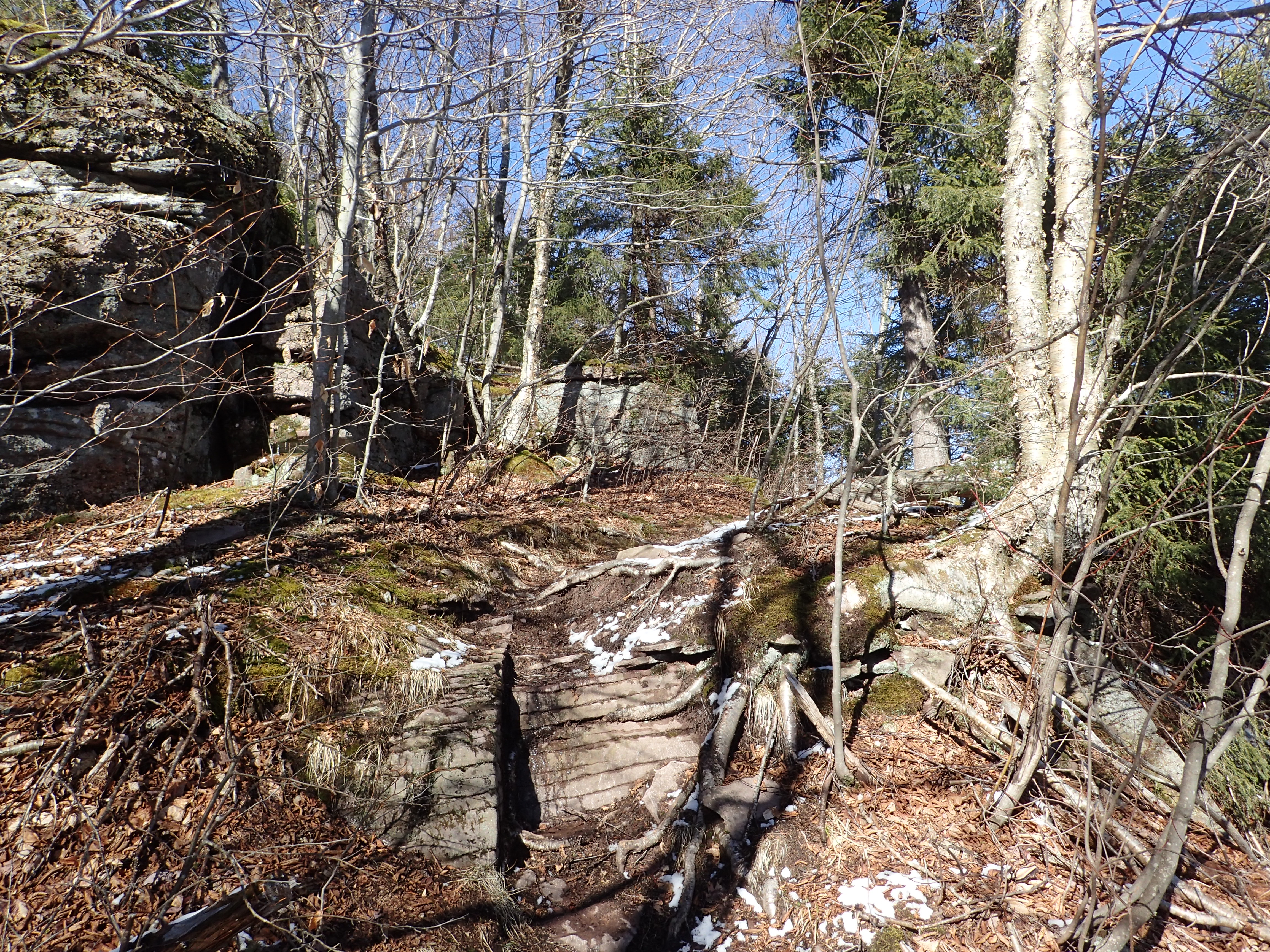
Following the spring sign we worked our way up another short rocky section that was also pretty easy to navigate and the rocks were very well worn so it was easy to follow the trail.
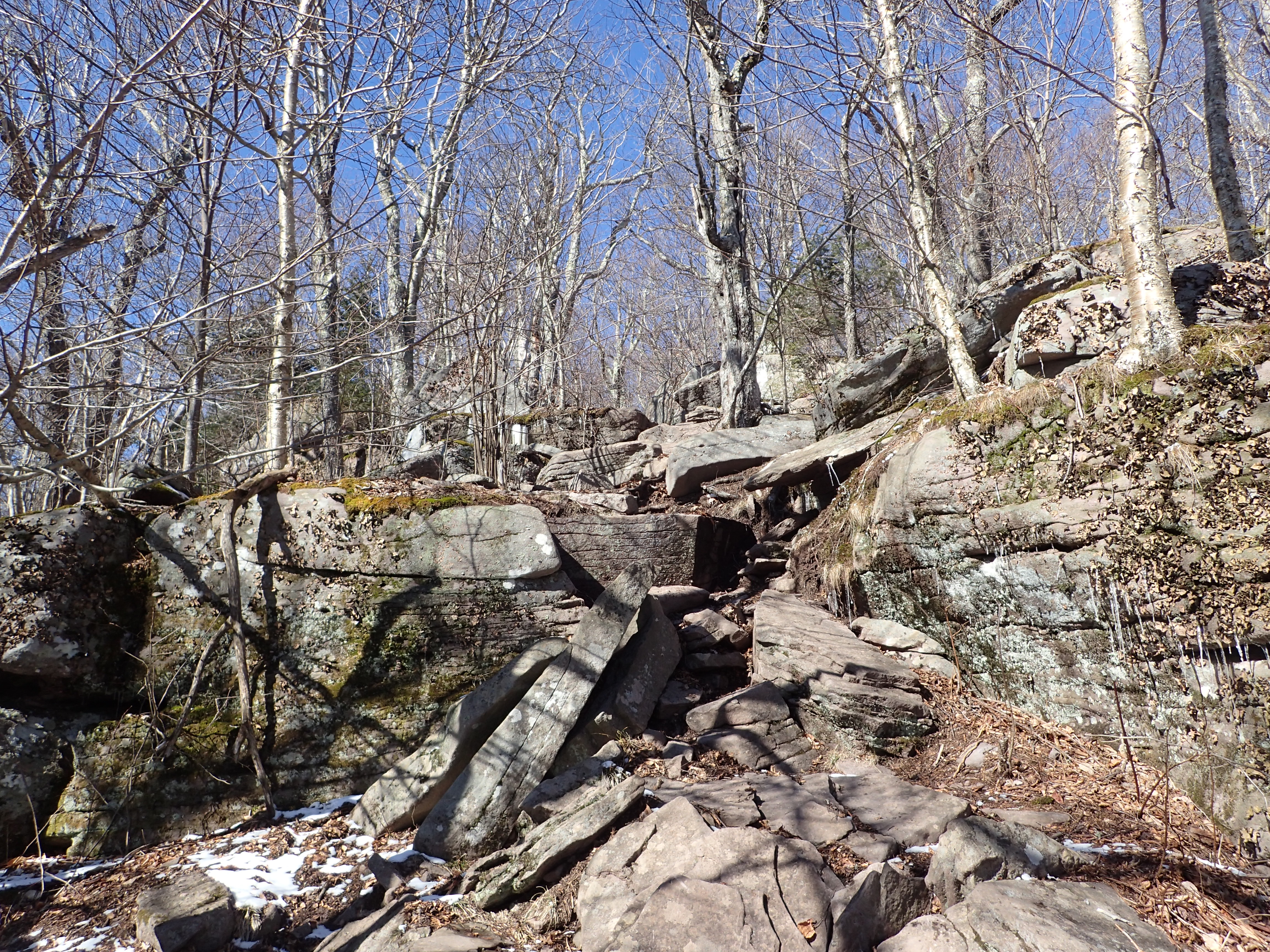
Rocky section leading up to the top of Giant Ledge.
After the short rocky section we found ourselves at the top of the ridge for Giant Ledge. Once on top of the ledge the terrain flattened out again. On top of the ridge were also a few marked campsites which would make for a nice spot to spend the night, especially since they are so easy to get to.
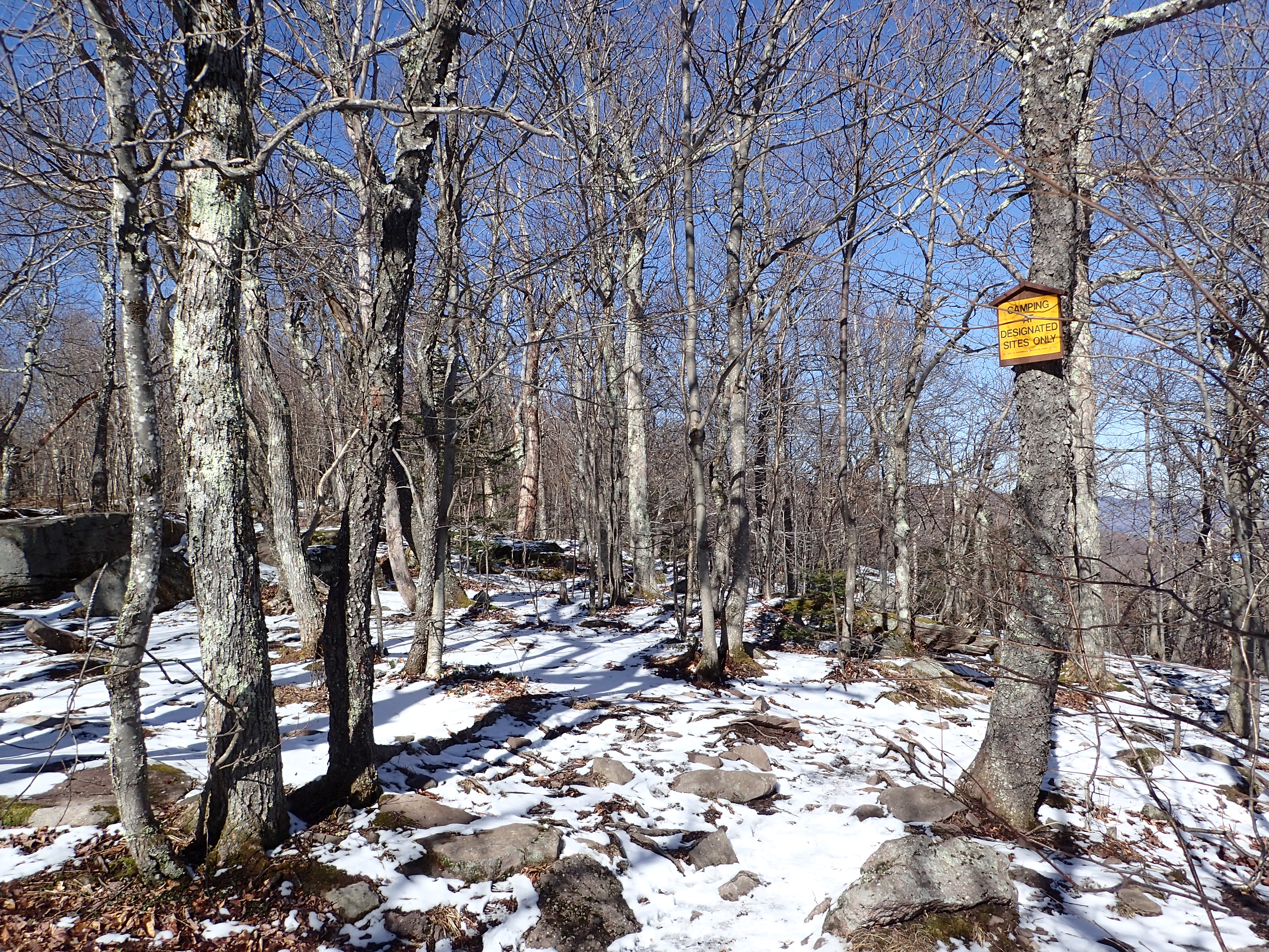
View of the trail once we got on top of the ridge for Giant Ledge.
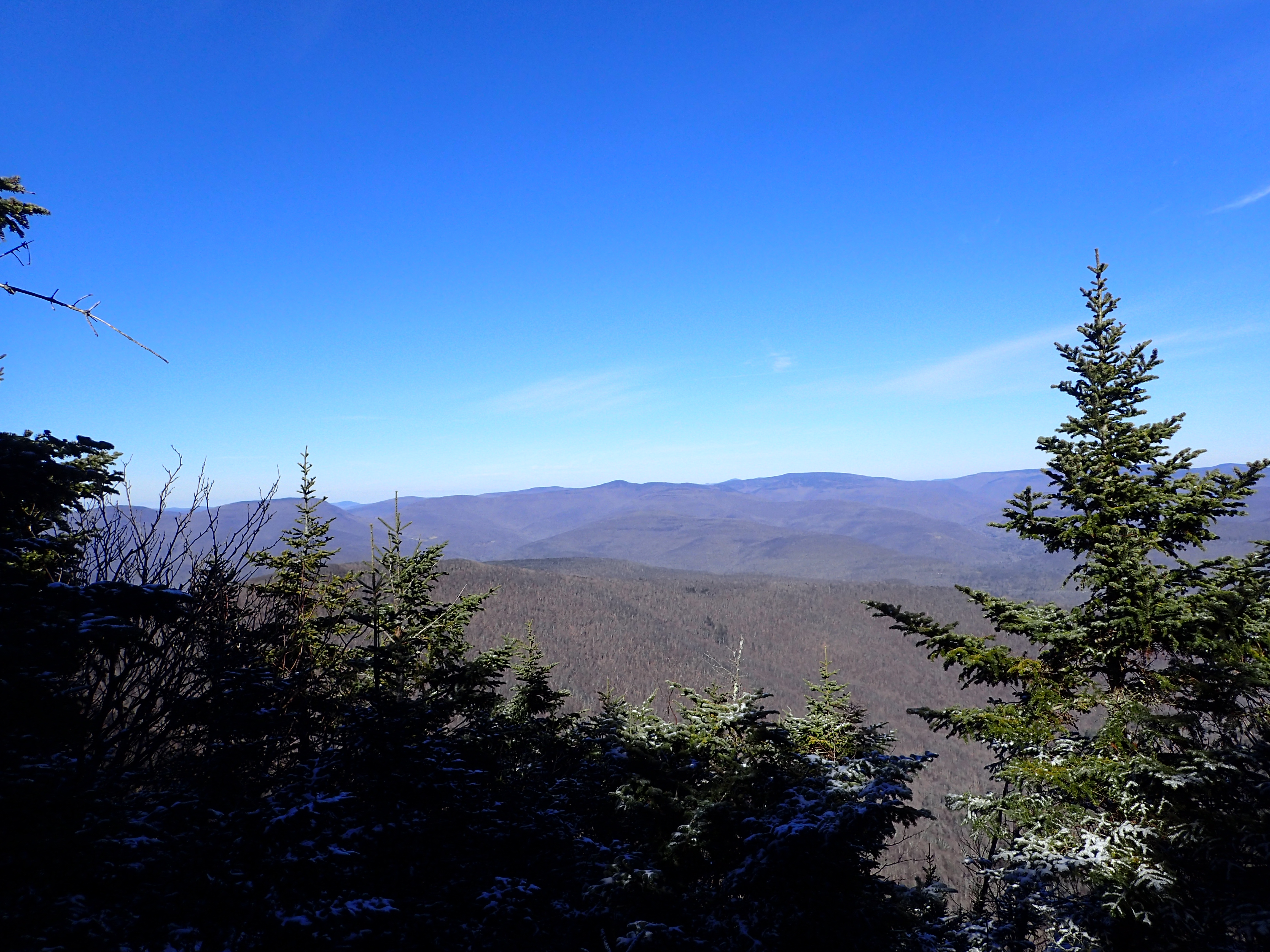
As we walked along the trail there were quite a few rocky ledges which offered great views of the surrounding area. We stopped at each one but the pictures below are from the largest one which in my opinion offered the best views. This outcrop was one of the first ones we passed once we crested over the ridge. Unfortunately I failed to count which one it was exactly but it was obvious and would be hard for anyone to miss.

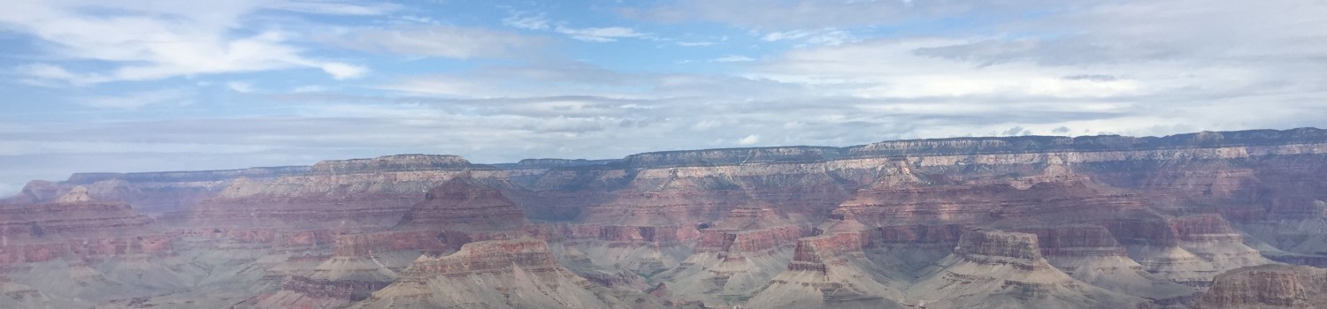
View from Giant Ledge.
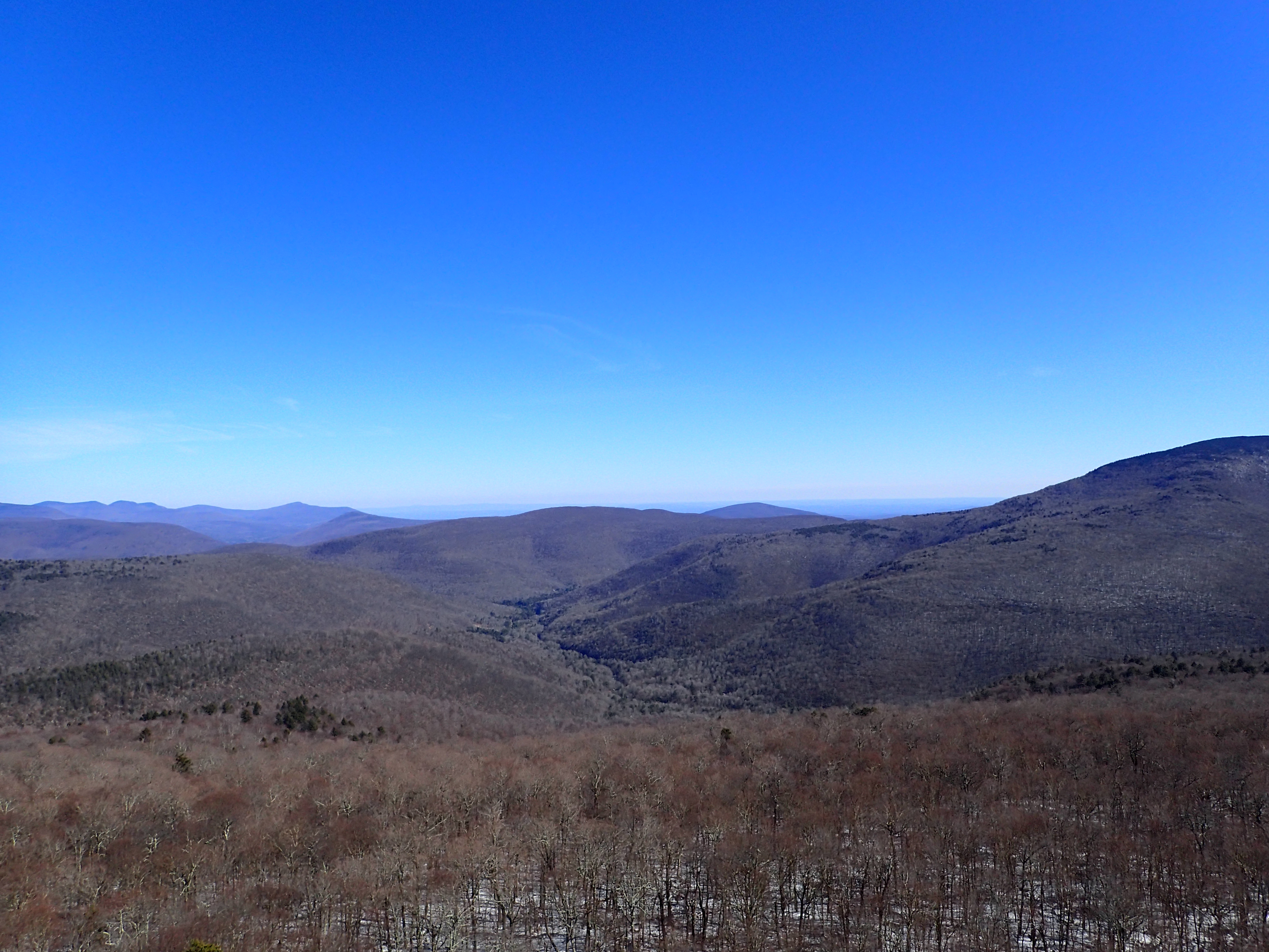
View from Giant Ledge.
We stayed for a few minutes to enjoy the view before continuing on to Panther. The trail continued along the ridge rising only slightly in elevation.
Trail leading towards Panther Mountain from Giant Ledge.
In only a few minutes the trail began to descend into the Col which sits between Giant Ledge and Panther. At this point we also put on our micro spikes in order to make a more brisk descent down the col but the hike could have been done without them.
View of Panther through the trees from the Col between Giant Ledge and Panther.
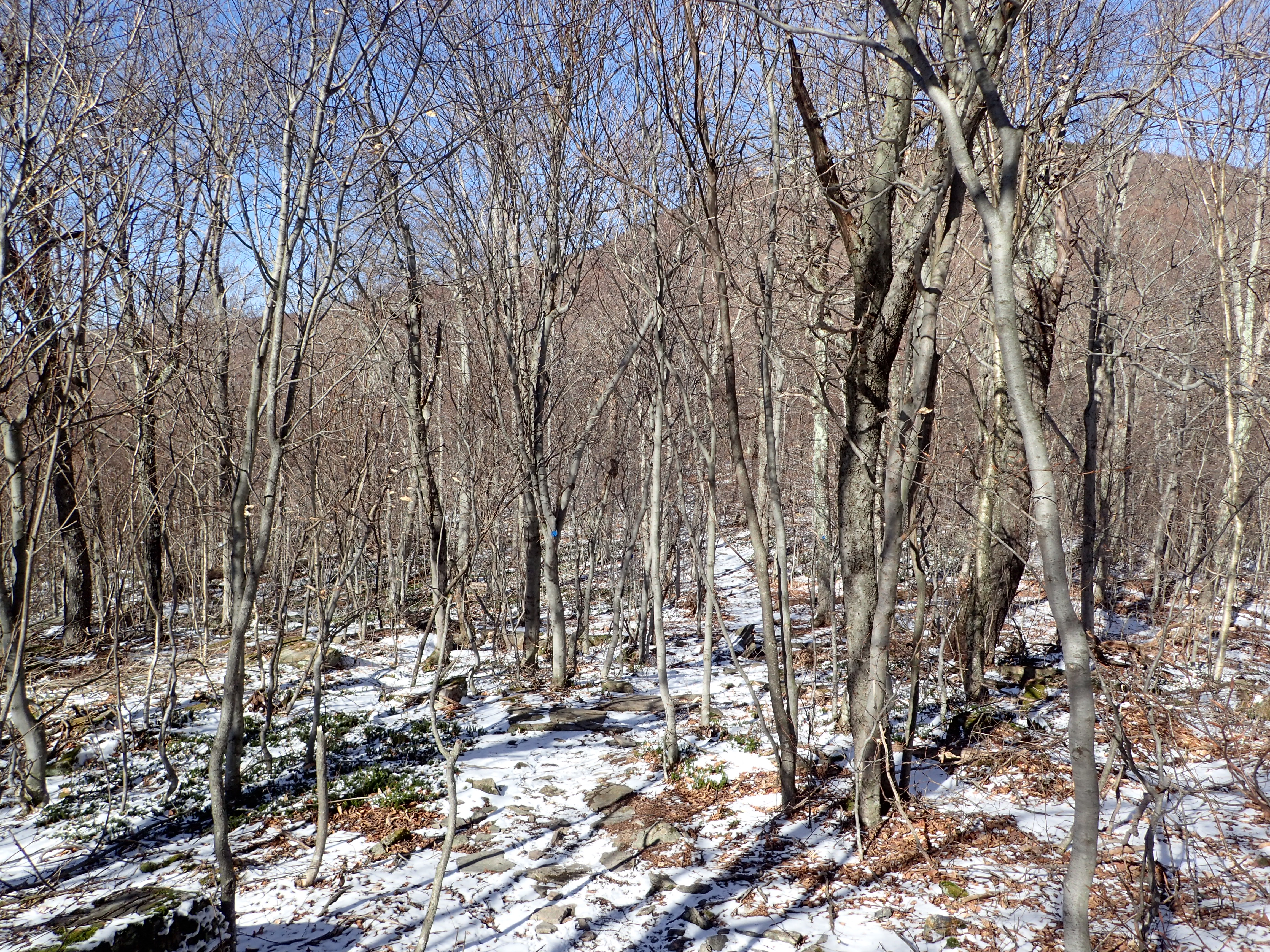
The col itself isn’t very large and the flat terrain made for quick travel. In what seemed like no time at all we were already working our way up hill.

Trail leading up Panther Mountain from the col.
As we worked our way up in elevation it started to get a little colder and the ice got a bit more consistent on the trail but it did not slow us down too much. The terrain remained more or less the same throughout the hike in terms of difficulty. Although I always love getting higher up in the Catskills as the terrain begins to look more like my first love the Adirondacks.

Trail leading up Panther with changing foliage as we worked our way up in elevation.
Before too long we also reached the sign marking the 3,500 ft mark in elevation which is the magic number for the Catskills peak list.

3,500 ft elevation sign.
The trail from here got a good bit darker from this point as the forest surrounding the summit got more dense with evergreens.
Trail nearing the summit of Panther Mountain.
Trail nearing the summit of Panther Mountain.
Once we made it near the summit the trail leveled out and a short stretch of hiking lead us to the true summit which was marked by a small cairn. I should note also that about 100 ft before reaching the summit is a large rock outcrop that you can hop on top of for more views which are mostly unobstructed. The summit itself is mainly wooded and only offers partial views from a small ledge. It also looked like someone earlier in the day had left a message in the snow as well.

Cairn marking the summit of Panther Mountain.
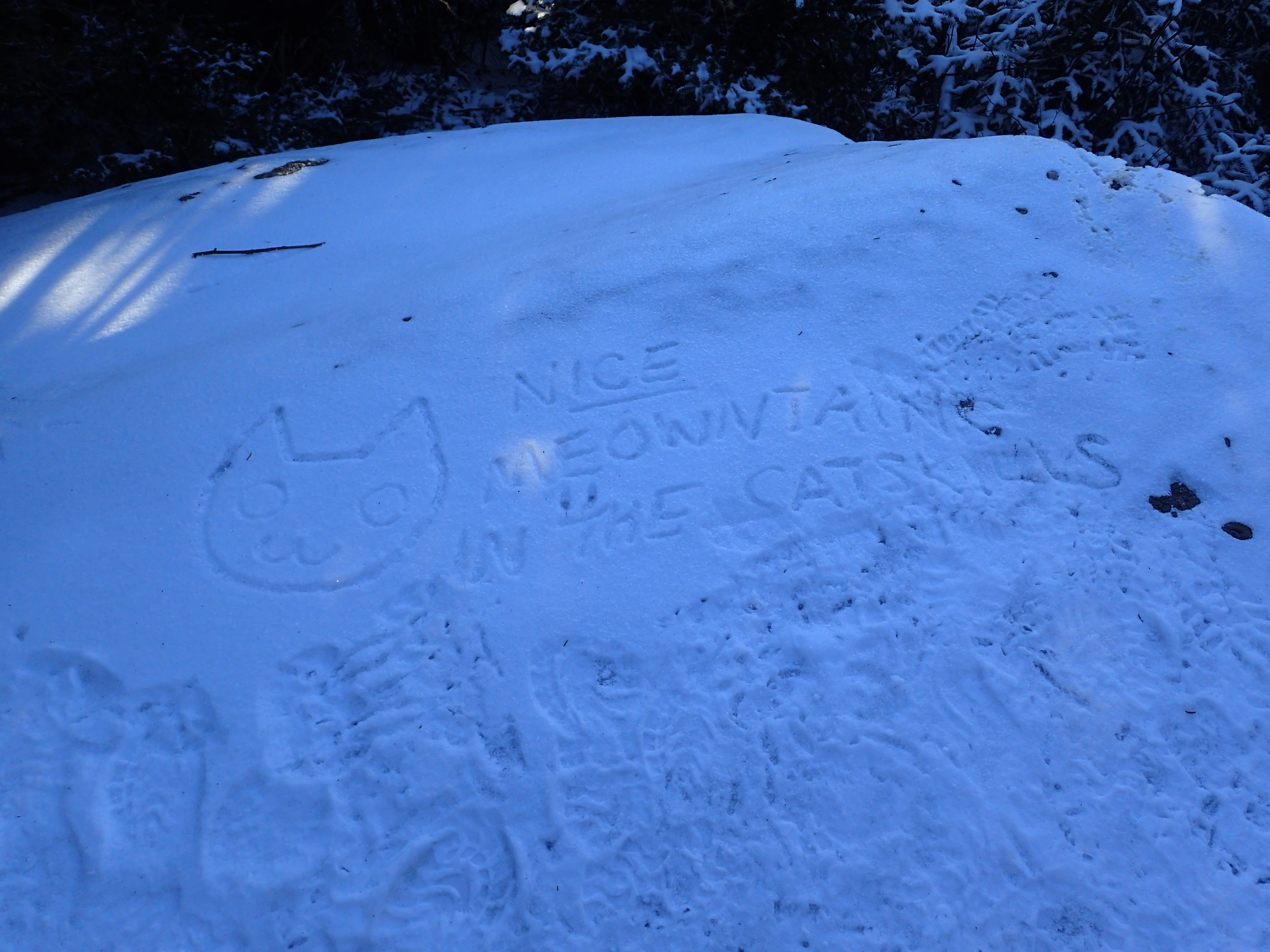
A friendly message left in the snow by an earlier hiker.
Mostly obstructed view from the summit.
We didn’t linger long on the summit as it was getting late and we wanted to finish up before the sun went down. The descent back down the mountain was a bit monotonous but went quickly and before we knew it we were back at the car by about 4pm making for about a 3.5hr round trip time. The Catskills may not be my favorite but it was certainly a nice day out in the mountain either way. I would recommend Panther as a fun peak for anyone with a few hours to kill or anyone looking for an easier hike to do with friends.
Categories: Catskills, New York, Trip Reports

