TRIP REPORT: Stairway to Heaven – Pochuck Valley to Pinwheel Vista, NJ 3-6-16
Hiking stats at a glance:
Trailhead: Parking on the side of Rt 517 (N41 14.084 W74 28.852)
Miles Round trip: ~7.3
Total Elevation Gain: Minimal
Having only a Sunday afternoon to work with and not wanting to drive the two hours to the Catskills we decided to check out a hike back home in New Jersey. I actually had never heard of the “Stairway to Heaven” hike before and only found it after spending some time looking up possible hikes in NJ. To be honest I went into it with very low expectations but honestly it was a nice hike for being so close to home, albeit a pretty crowded one. The name given to the hike is also admittedly pretty generous but despite all of that there is certainly some fun to be had here and it makes for a nice family outing.
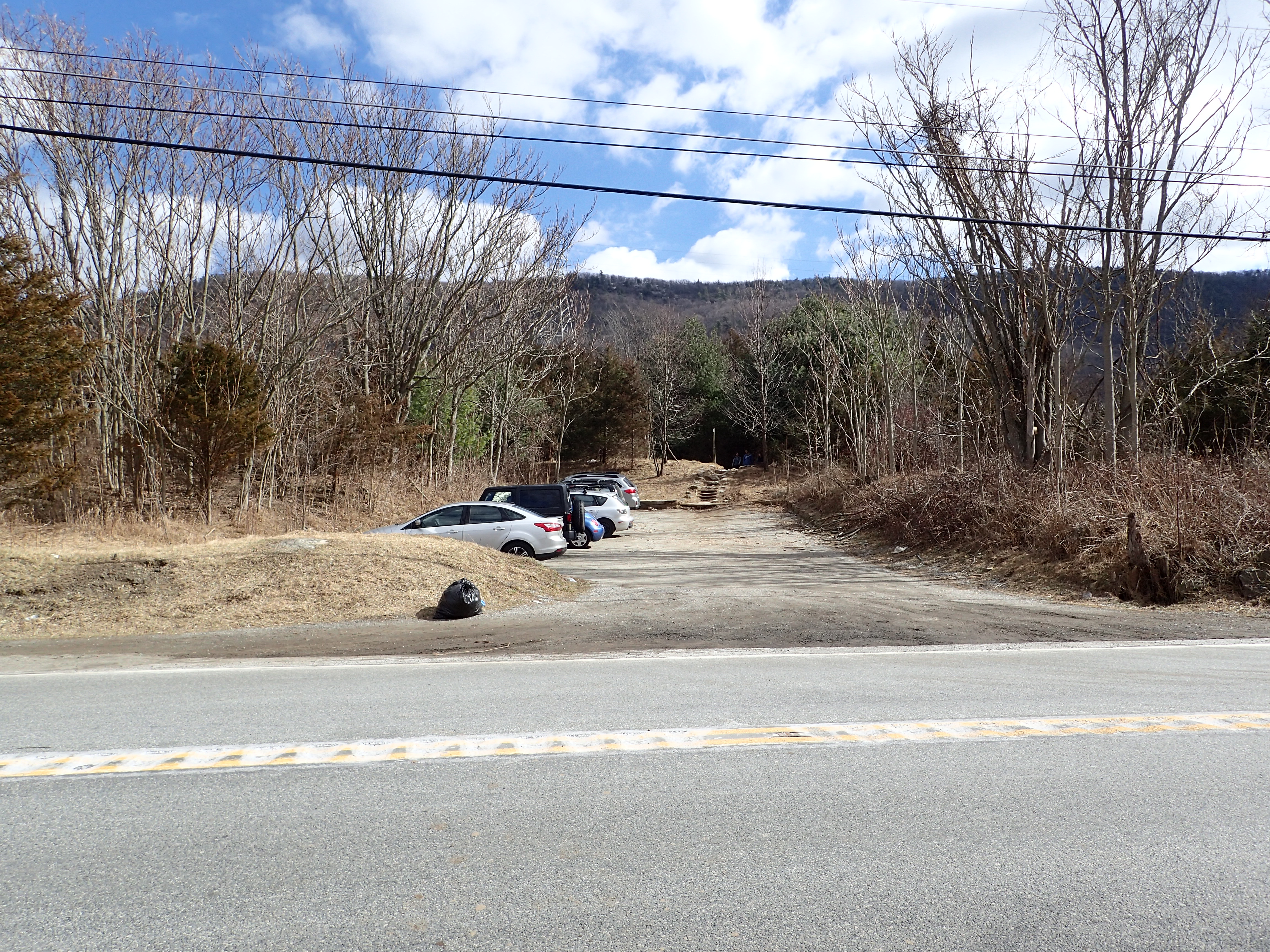
We arrived on the side of Rt 517 where the trailhead is located late in the day around 2pm but we were lucky enough to find a spot open in the row. The parking here is extremely limited and you are only allowed to park within a very limited amount of space so keep that in mind when planning your visit. There were cars parked in unauthorized spots but on our way back to the car these cars all sported parking tickets, so be warned, they do actually enforce the parking regulations!

View of the marked parking area.
The hike starts right off the road with a long set of boardwalks that lead out into the marshy land beyond. At this point in the day there were still a lot of people on the boardwalk but it wasn’t completely mobbed which was nice.
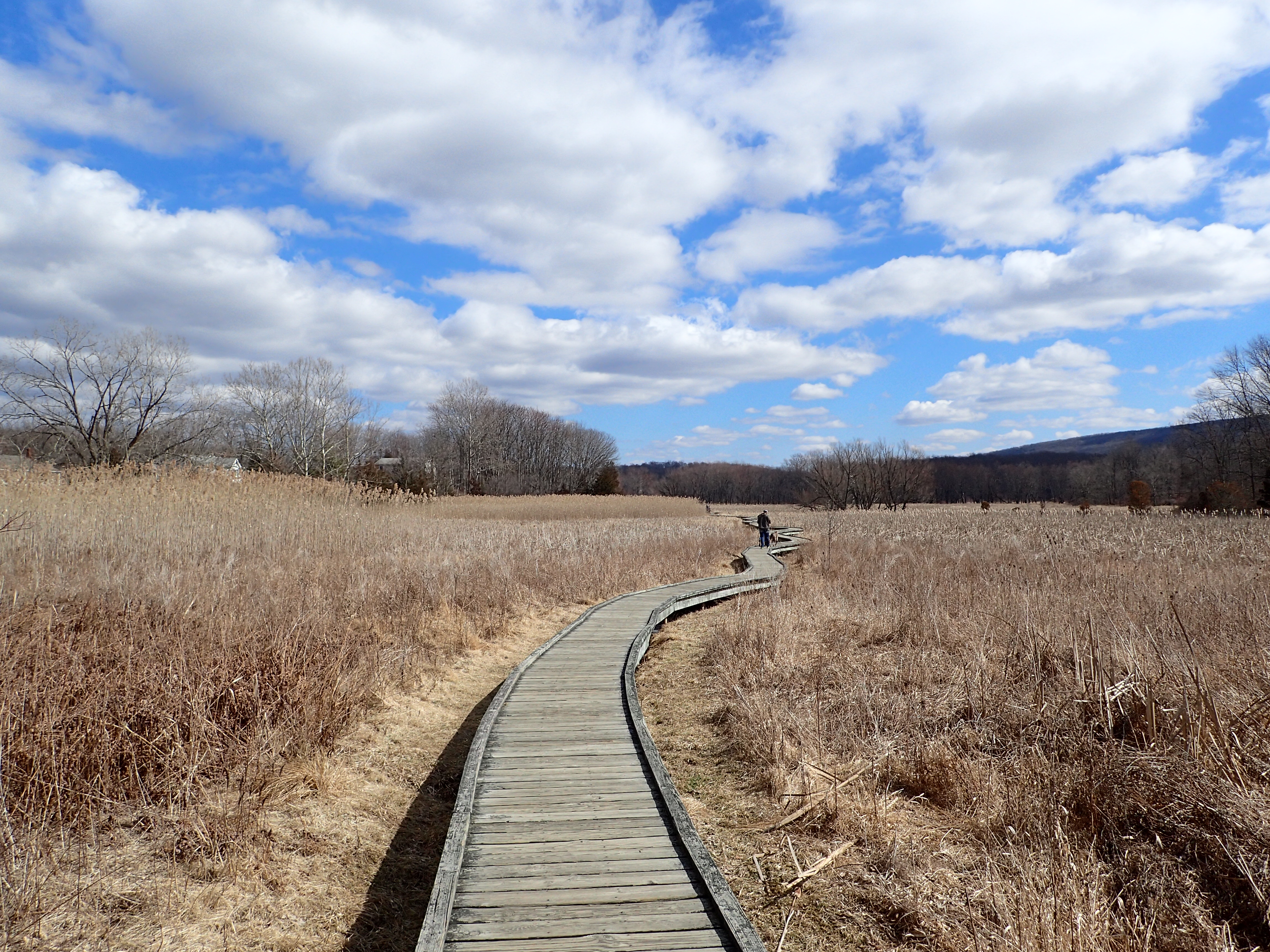
Start of the hike from the road.
As we meandered down the boardwalk we were surprised to have some nice views of the surrounding area and even the ski resort of Mountain Creek was visible off in the distance.
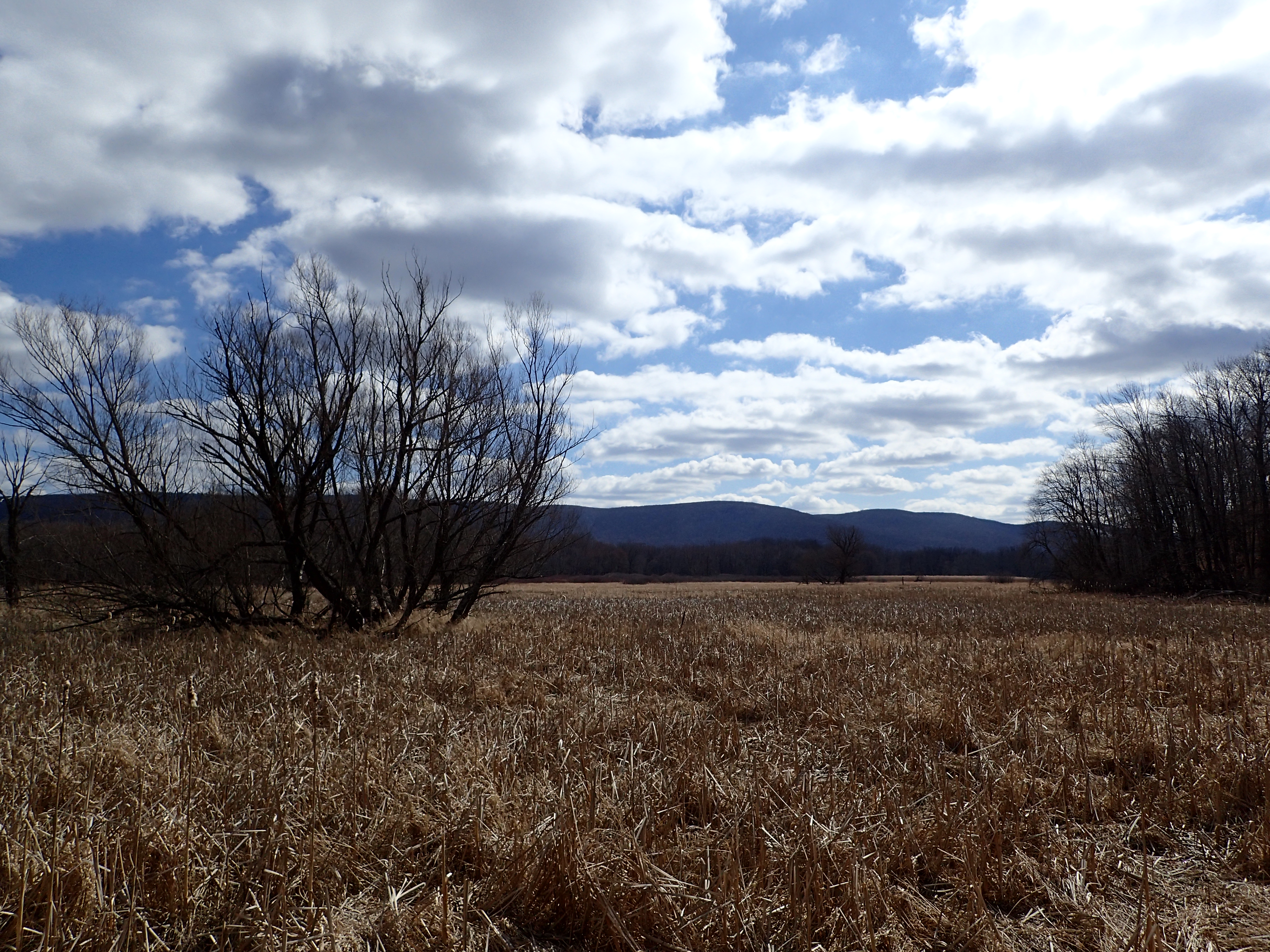
View from the boardwalk.
The boardwalk covered quite a bit of ground but we walked at a leisurely pace as we were just out to enjoy the day and the various groups of people and dogs made for slow going anyway.
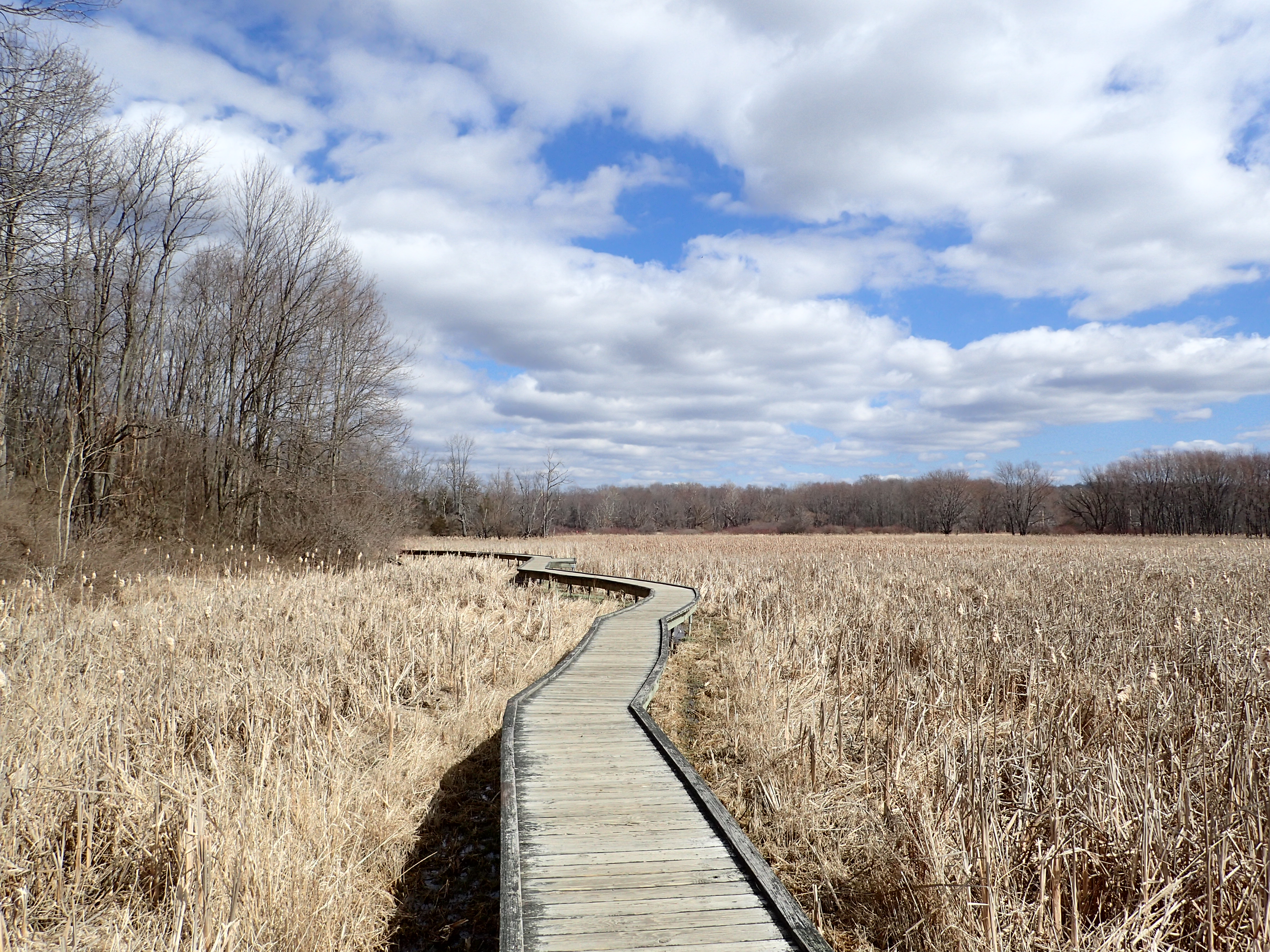
Boardwalk winding its way through the marsh.

View from the boardwalk.
As the boardwalk wound its way through the marsh it eventually worked its way over into a short section of woods. On this particular day the name of the game was mud, mud, and more mud. We got our first introduction to it on this short section but this was really only the beginning. I have to also admit that it was mildly amusing watching the non hikers trying to avoid the mud with varying degrees of success.

Short section through the woods and beginning of the mudfest.
The short section through the woods then took us back to a small wooden bridge and the continuation of the boardwalk.

Small wooden bridge.
After passing the small bridge we were back on the boardwalk and we could see the larger suspension bridge in the distance.
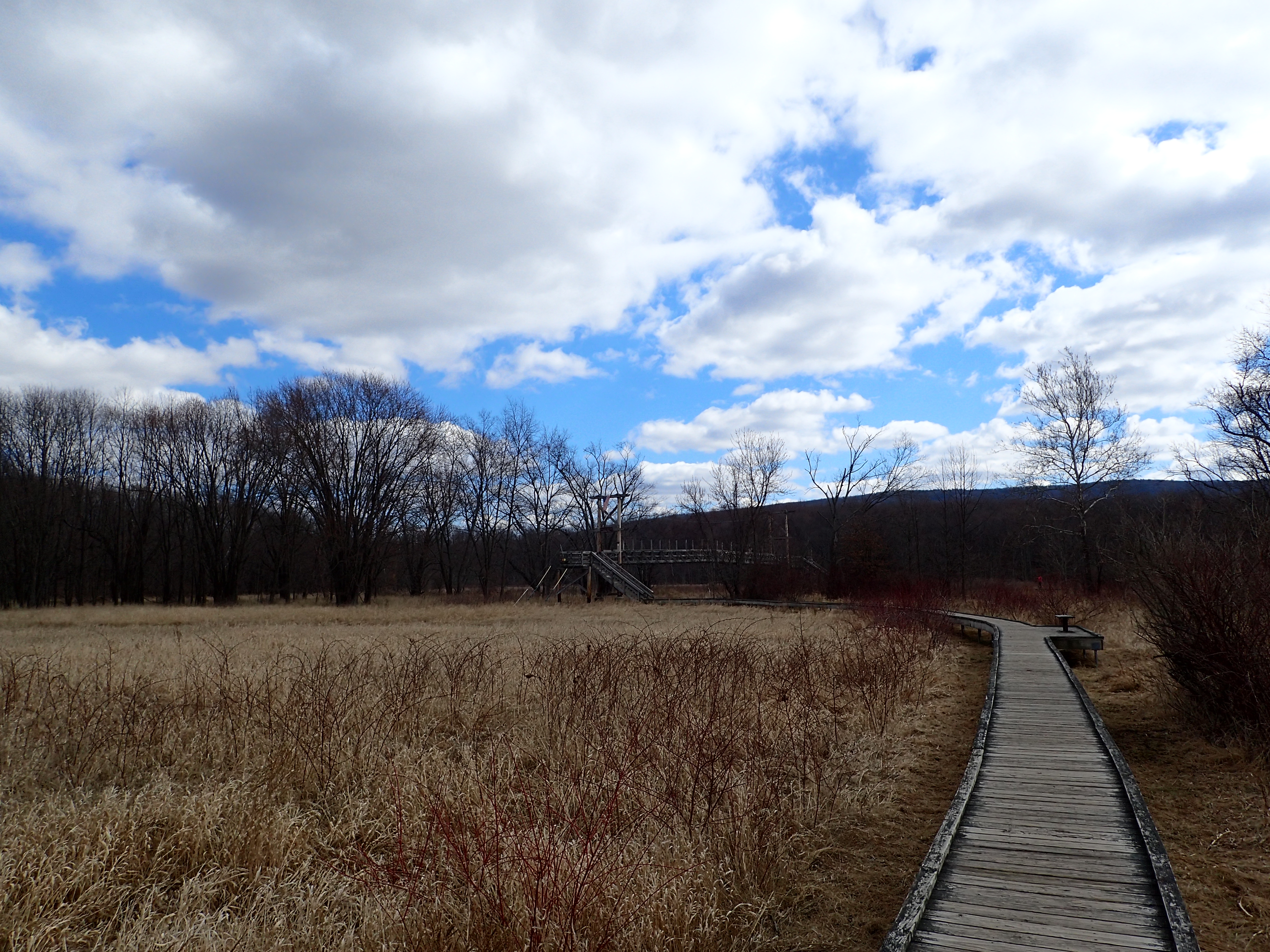
More boardwalk over the marsh.
The bridge itself seems much larger than necessary but it is still a pretty cool structure and unlike many of the bridges I have crossed before, quite stable.

The larger suspension bridge.
Following the bridge was one last section of boardwalk which lead us back into the woods on the other side of the marsh from where we had started.

Last section of boardwalk.
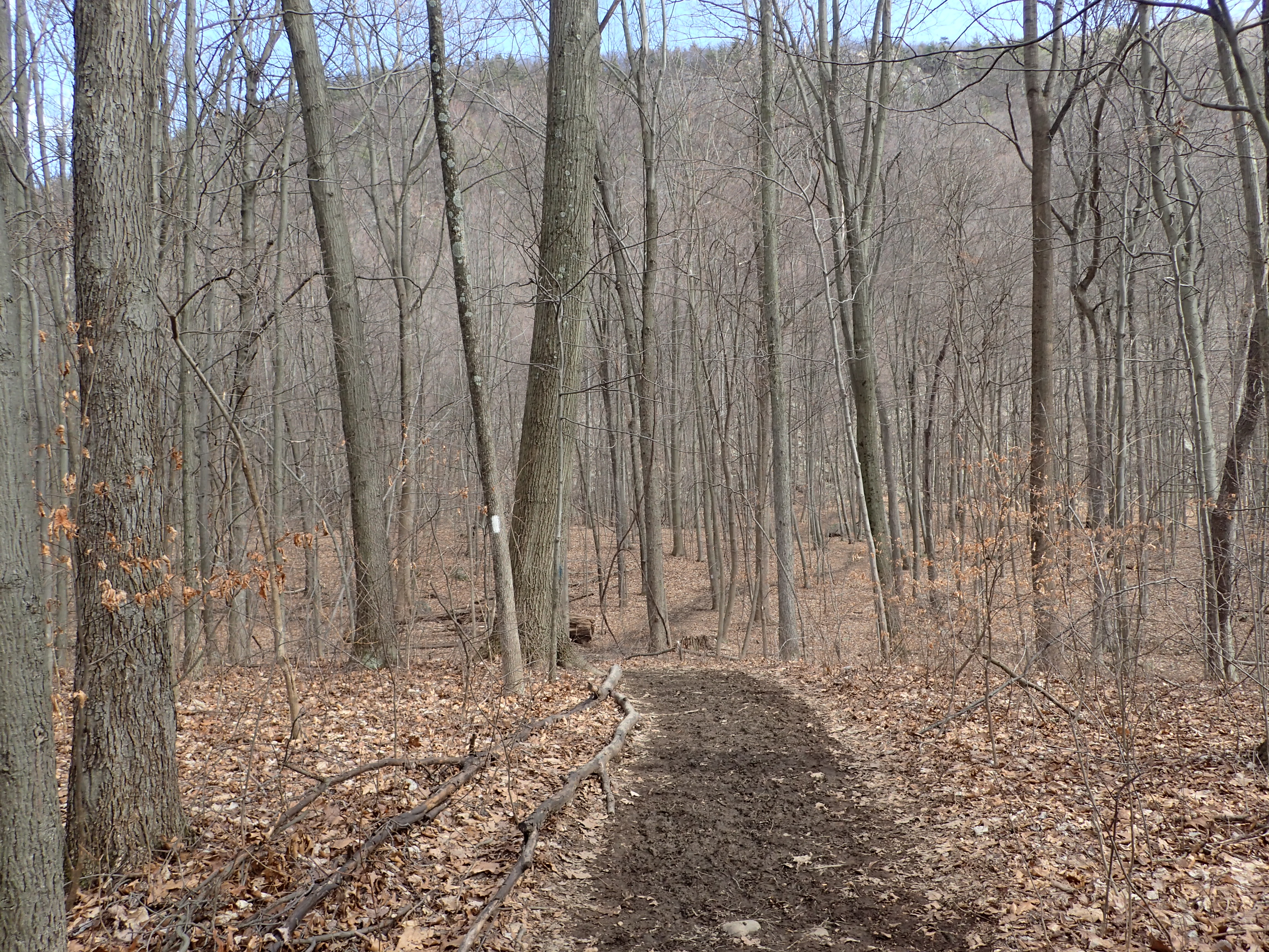
Once we made it into the woods we began seeing the white blazes of the Appalachian Trail. The mud here continued but it was fairly easy to avoid most of it through this section. The hiking through this section of woods was also quite easy as the trail worked its way over the gently rolling hill.
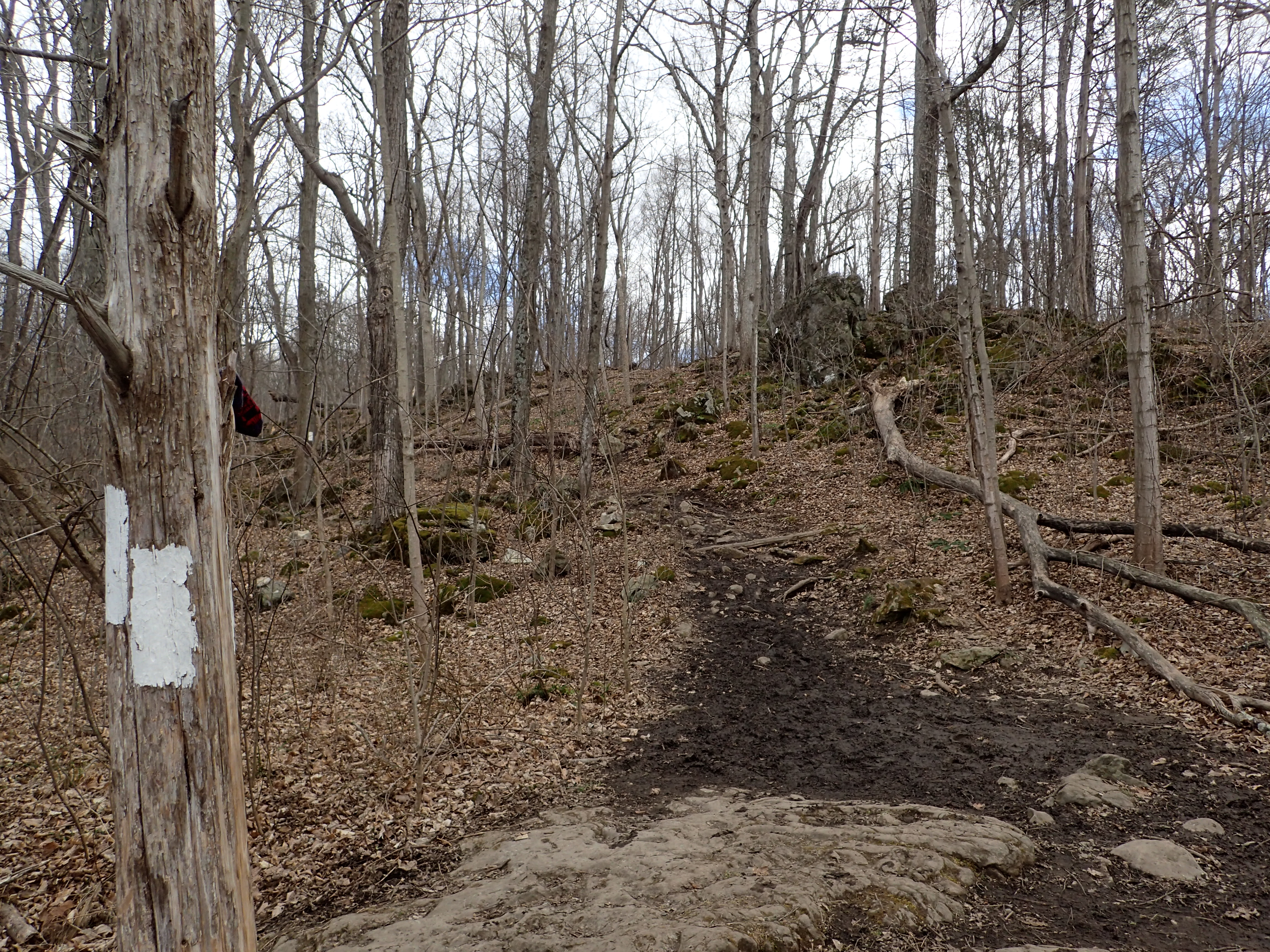
White blazes marking the Appalachian Trail.

The muddy trail continued through the woods.
Once we got on the other side of the woods we exited onto a gravel road. We hung a right on the road and walked towards the more modern footbridge which could be seen in the distance.

Gravel road, looking in the direction you want to keep hiking.

Second, more modern footbridge.

Passing over the water on the modern footbridge.
After passing the bridge we made a quick left back on to the foot trail. It was at this point that the real mud started.

Trail junction following the bridge.
Another short wooden bridge took us over some of the marshy wetland before the trail went back to winding its way through the woods.

Another short wooden bridge.
Once we got onto the open field the mud became more intense and was increasingly hard to avoid without trampling through the tall brush on the side of the trail. Since trampling through the brush isn’t an acceptable practice we just resigned ourselves to walking carefully through the slippery mud.

Muddy trail through the open field.
Luckily however, in some sections they installed long stretches of small plank boardwalks which allowed you to avoid some of the wettest parts of the trail.

Plank boardwalks serve as the trail in the wettest parts.
However, some sections of trail were suspiciously missing any boards when they probably really should have them. I am not sure if these conditions are typical but based on the width of the trail I would imagine that they probably are.

Some of the deeper mud encountered on the trail.
Once we passed this marshy section we were back in the woods on higher and thankfully drier ground.
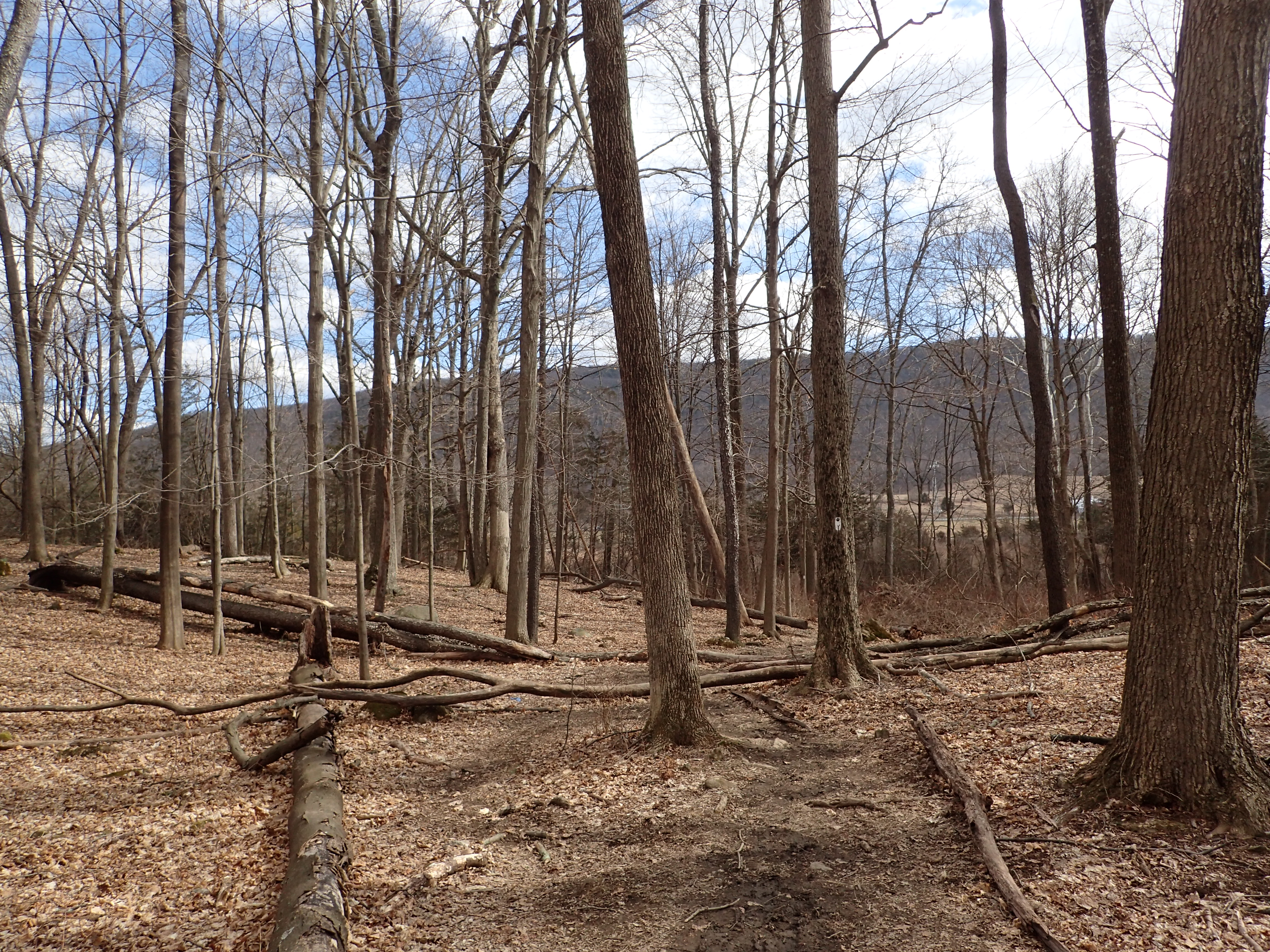
Trail leading back into the woods.
This marked the last section of hiking in the woods before making our way towards our ultimate goal which could be seen in the distance.

Boardwalk leading towards the mountain which is home to Pinwheel Vista.
After passing this section of plank boardwalk we reached the railway crossing on the hike which made for a pretty unique experience for me. I believe this is actually the only trail I have hiked that included this kind of active railway crossing.

Railway crossing.
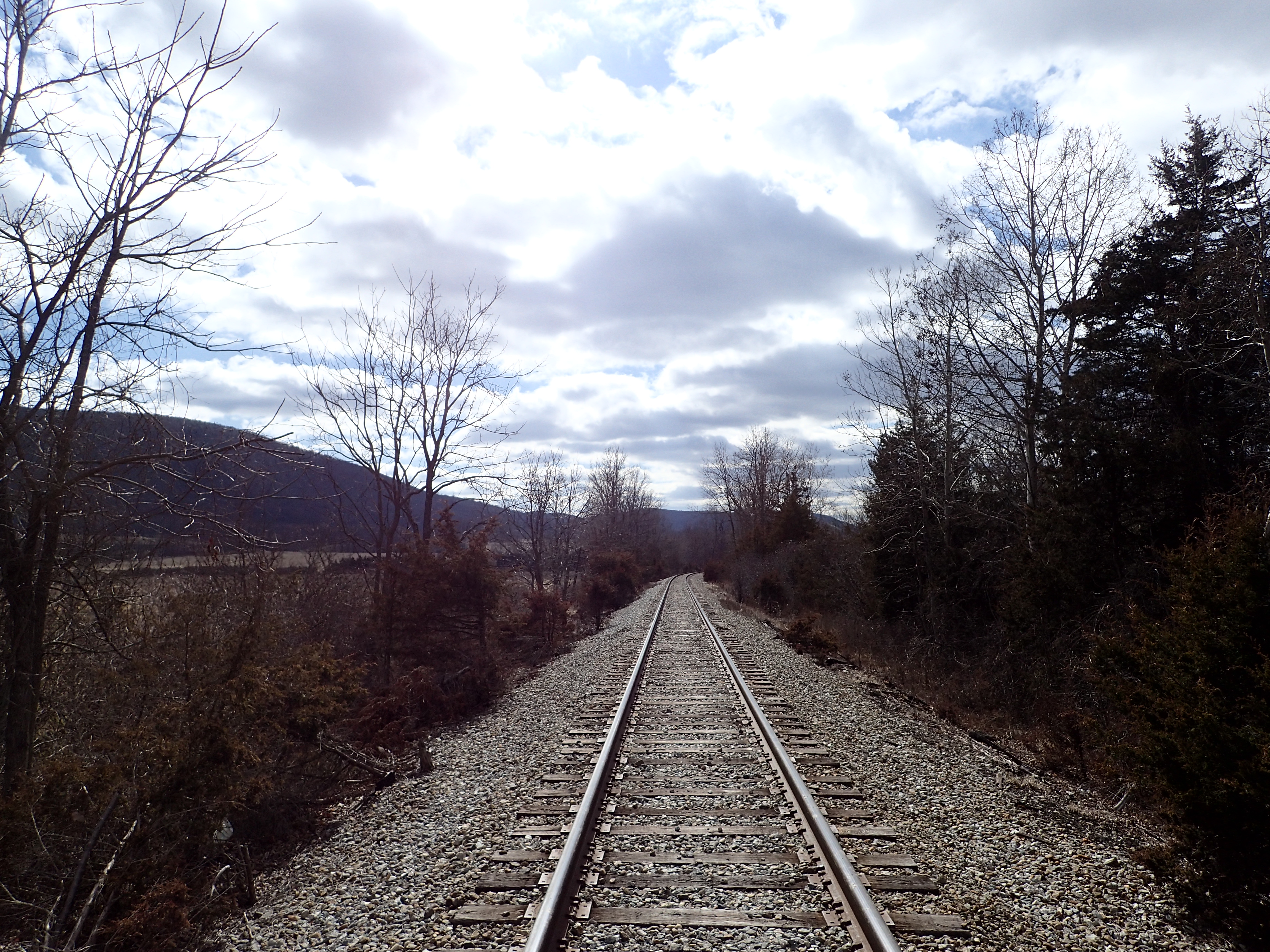
Looking down the train tracks.
After passing the railway tracks we exited onto another set of planks which lead us across a cow pasture towards the mountain on the other side of Rt 94.

Boardwalk leading over the pasture.

Happy cows come from….New Jersey?
After passing the pasture we could see the Rt 94 trailhead just on the other side of the road. This is an alternate starting point to the hike if you only want to do the Stairway to Heaven and Pinwheel Vista section of the hike. The road is fairly busy so just take care when crossing.
Rt 94 Trailhead.
Thankfully from this point on the mud virtually vanished and we were back to hiking on more solid ground. The trail started easily enough on mostly flat ground as you worked your way into the woods and the start of the steep section which gives this hike its “Stairway to Heaven” name.
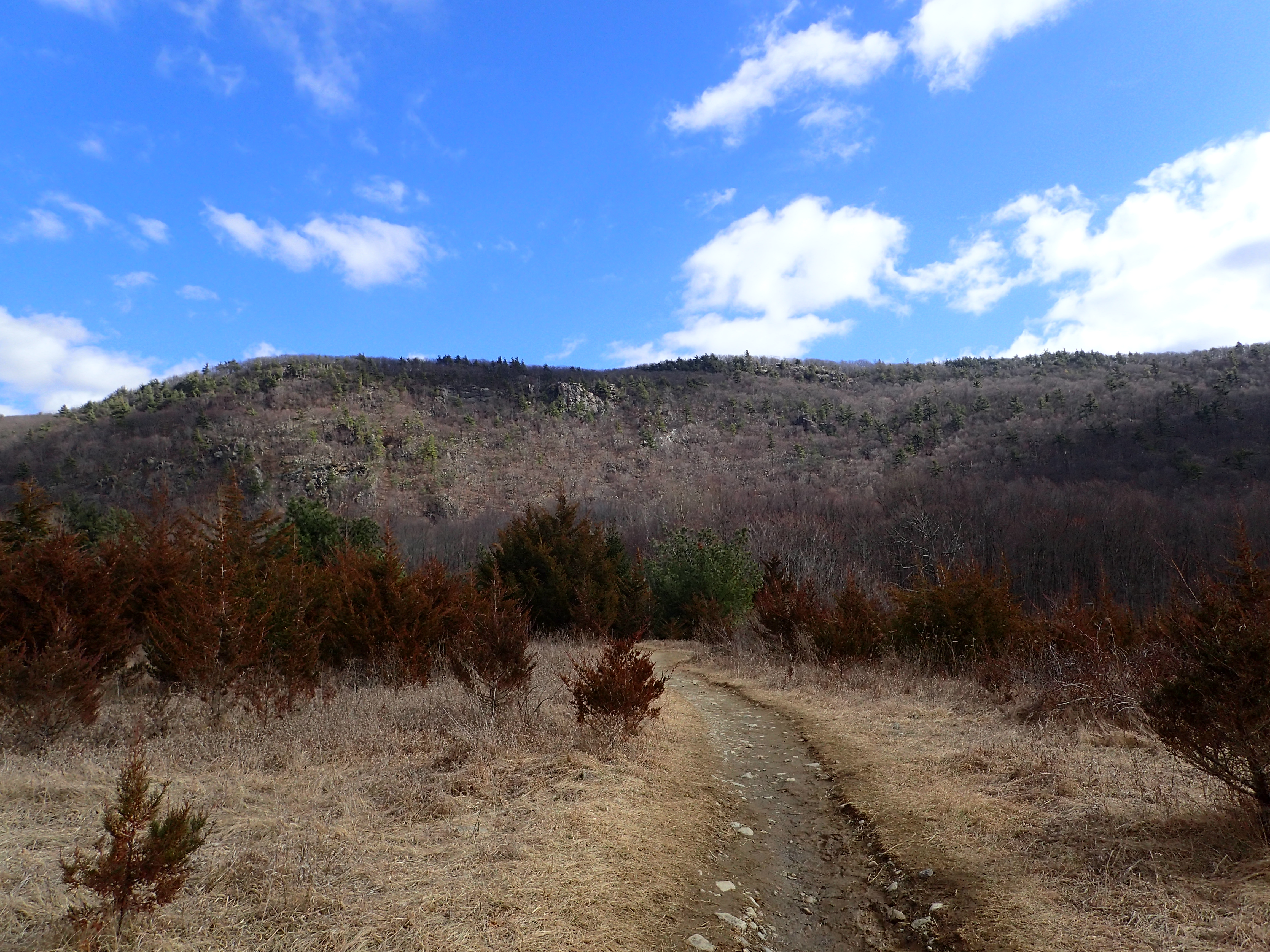
Looking down the start of the trail from Rt 94 with Pinwheel Vista visible on top of the ridge.
Once in the woods the trail continued for a while before finally reaching the start of the steeper section of the hike.
Start of the hike through the woods.
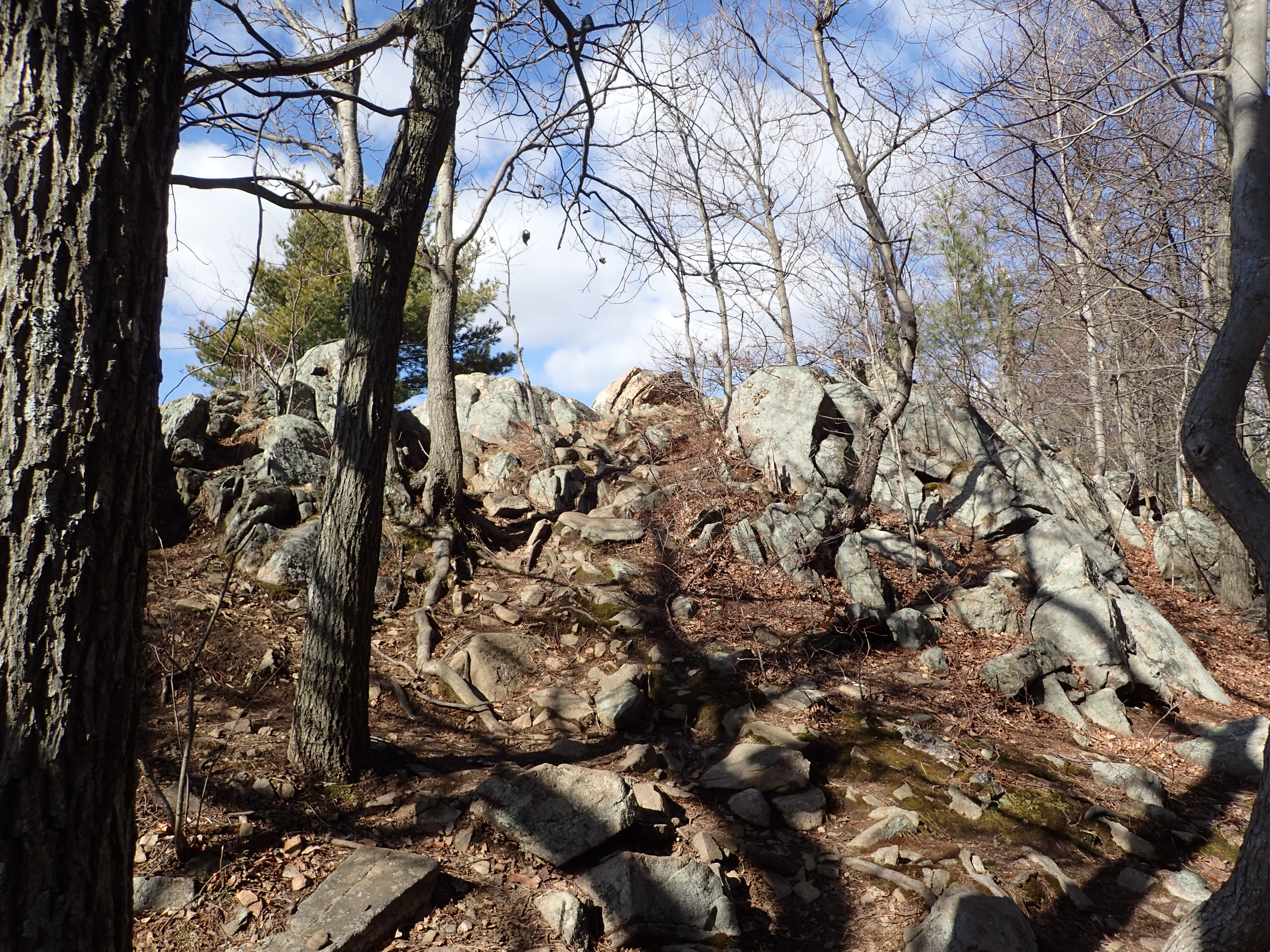
The base of the hillside was littered with talus which needed to be navigated in addition to shot sections of rocks that had been stacked like a stairway. The trail is well marked by blazes on the trees and I did not find it difficult to find the correct path.

Start of the Stairway to Heaven section of the hike.

View of the trail leading up to Pinwheel Vista.
This section of hiking is not very long but it is fairly steep overall. If you are not in good hiking shape I could imagine that it might be fairly challenging but if you spend time hiking regularly it will seem pretty easy. We didn’t have any trouble working our way up the trail and were able to maintain a brisk pace overall.

Looking up the trail as it climbed upwards.
Once we reached the top of the ridge we were greeted by a massive cairn. This cairn marked the junction for the AT and the blue blazed trail which lead over the Pinwheel Vista. From this point we hung a left towards the view point which was only a short distance further. There is also a small sign marking the “view” but it does not actually offer any advice on which direction that view is.
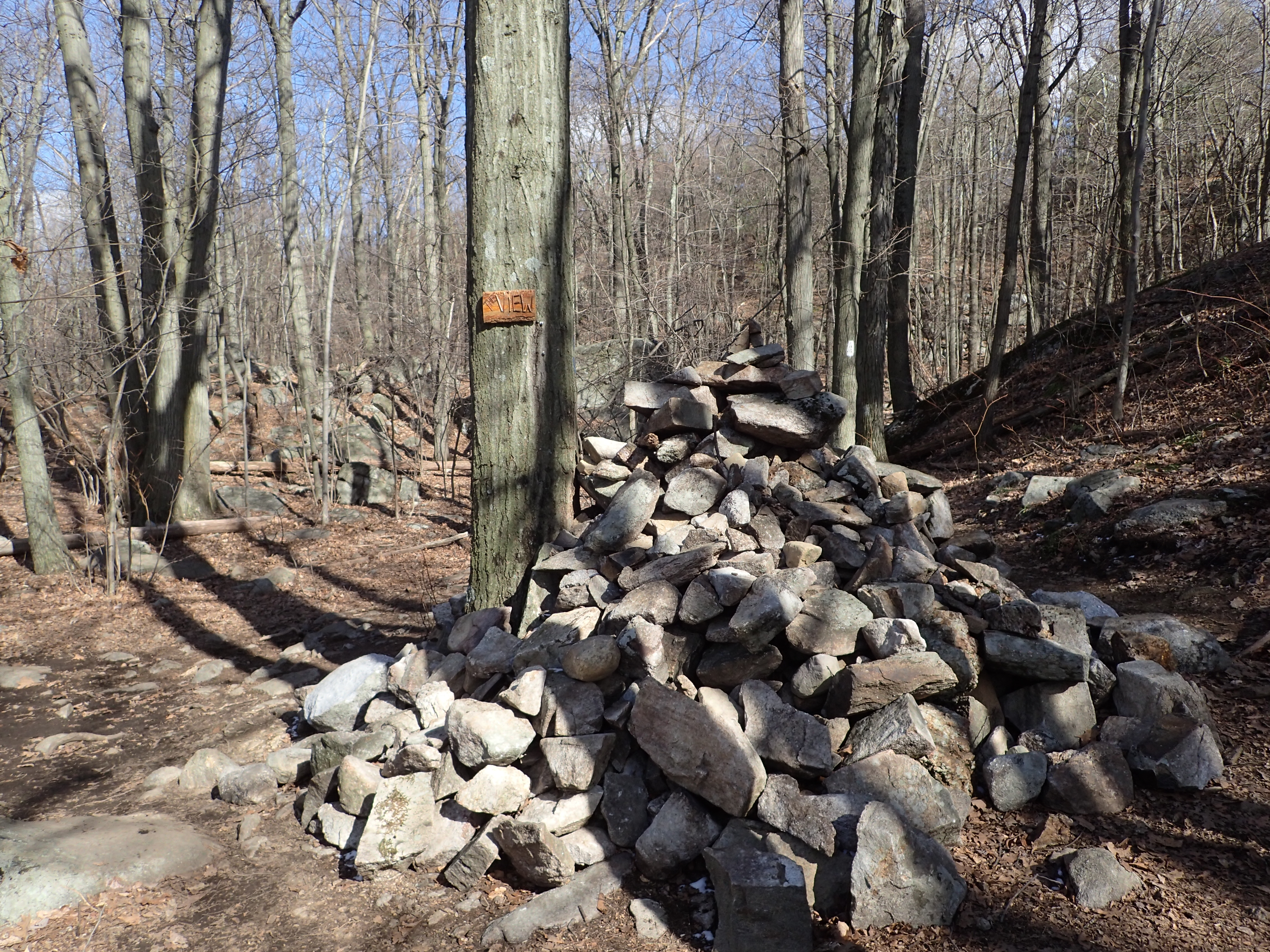
Massive cairn marking the trail junction.
As we continued walking in this direction along the ridge the location of the view point became obvious as we saw the large boulders on the edge of the ridge with no trees around them.
The back of Pinwheel Vista from the trail.

Final scramble up to the top of the Vista.
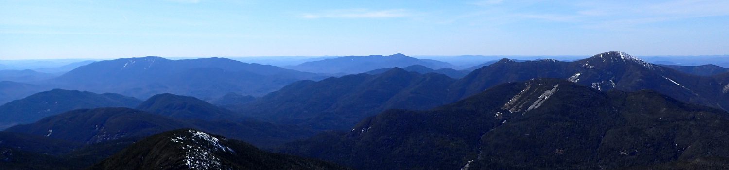
One final little scamper got us to the top of Pinwheel Vista where we were greeted by some of the best views of New Jersey I have seen from any hiking trail in the state. From here we could see all the way into New York and even the High Point Monument was visible straight ahead in the far distance. It may not be the most dramatic view in the world but it is certainly a good place to spend some time lounging and enjoying the scenery.

View from Pinwheel Vista.
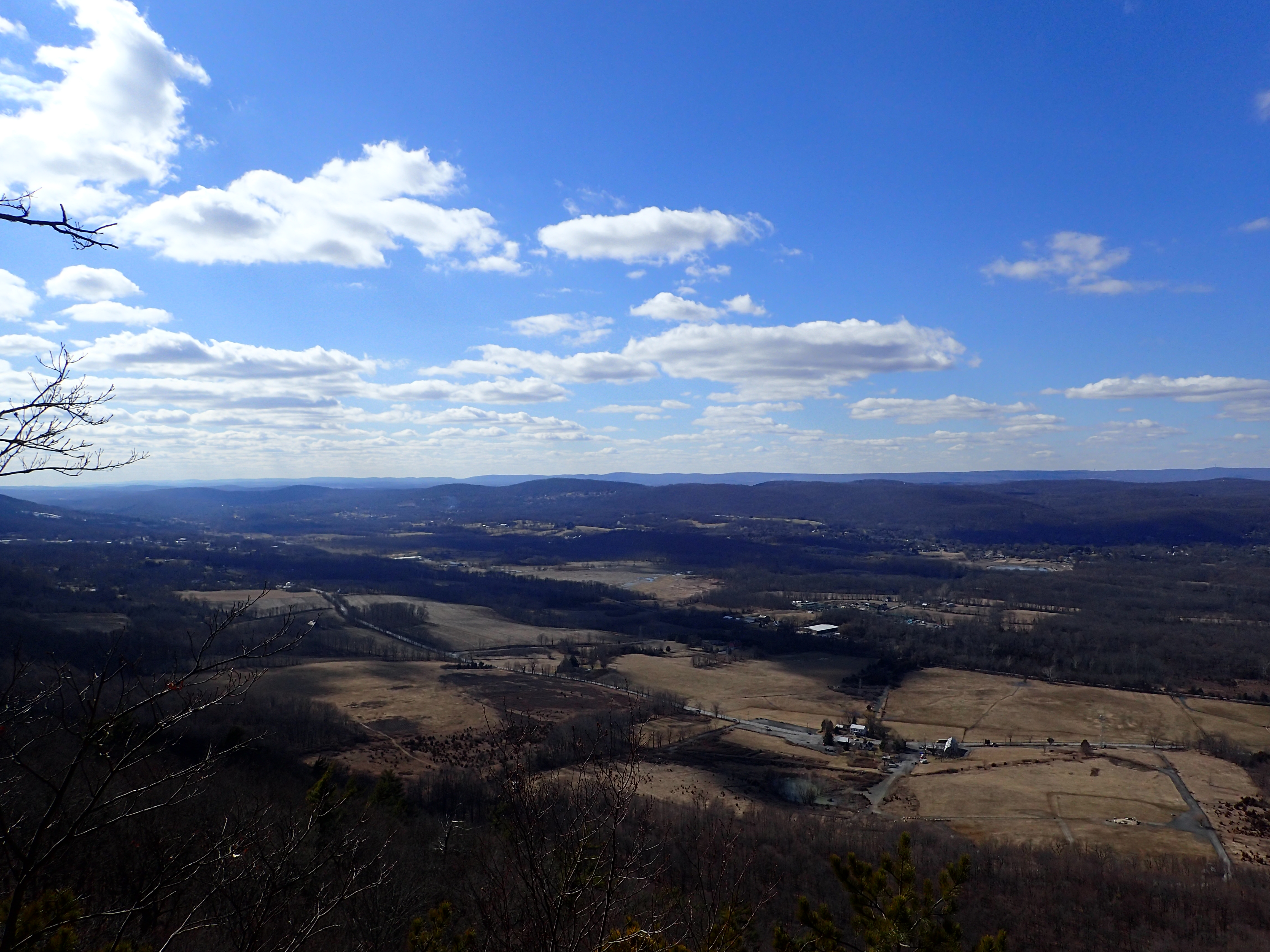
View from Pinwheel Vista.
Since the weather was quite beautiful and the sun was shinning we took a seat on one of the large rocks and lounged around for a while. It was a nice place to relax and we were only sharing the summit with a few other people. We stayed there for a while before deciding to make our way back to the car. The trip back was uneventful and we made it back to the car in quick order. Overall the whole excursion lasted about 3.5 hrs including our stop at the summit. This hike may not be as dramatic as its name implies but it is definitely worth a visit if you are in the area and only have a short amount of time to spend.
Categories: New Jersey, Trip Reports


This looks like a great trail! Might have to take a hop over the border into Jersey sometime soon.
LikeLike
Its a nice choice if your in the area. Its pretty easy but offers nice views and a varied landscape.
LikeLike