
TRIP REPORT: Gothics and Sawteeth – Adirondacks, NY 2-6-16
Hiking stats at a glance:
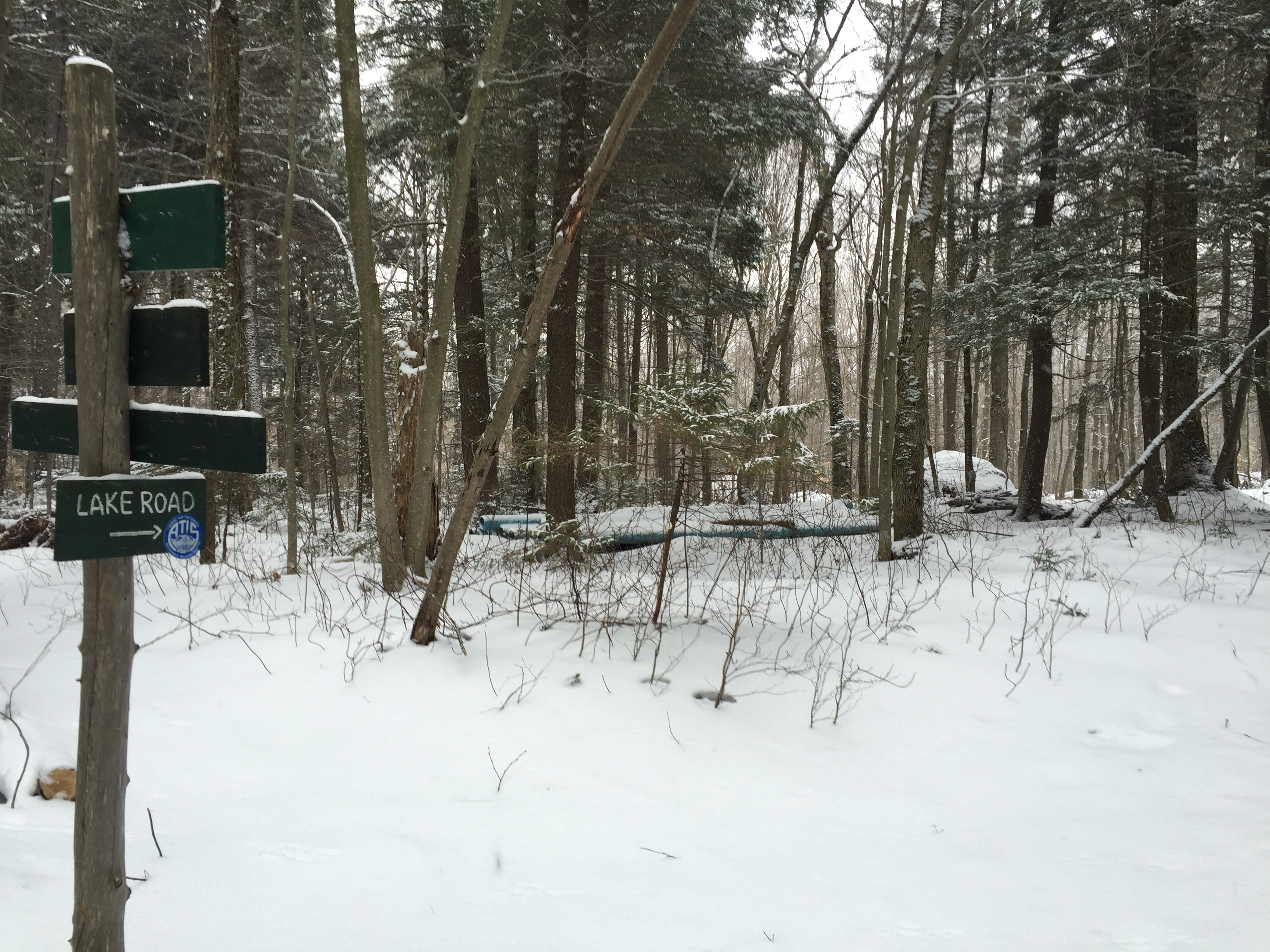
Trailhead: St. Huberts/Lake Rd.
Miles Round trip: ~15
Total Elevation Gain: ~4200 ft
2 High Peaks: Sawteeth 4,150 ft, Gothics 4,734 ft
It had been a couple of years since I had been on Sawteeth and Gothics so when the opportunity came to do them again I jumped at the chance. For this trip I joined a new partner Andrew, who I met through an Adirondack High Peaks Facebook group. We had never hiked together before but Andrew was going for the entire lower great range as part of his attempt to do his entire winter 46 in one season, so I knew it would be a good challenge to try and keep up. Knowing that my time would be somewhat limited I had only agreed to follow along through Gothics before splitting off back down to the car.
We met at the St Huberts parking lot at about 6am and after gearing up we wasted no time heading down the road towards the trailhead. We signed in at the trail register at 6:30am and began our walk down Lake Road in the dark. Due to the warm weather and rain from the preceding days the trail was mostly ice and very little snow so micro spikes were going to be the name of the game. We made quick progress up the road and the sun was out soon after we started.

Looking down Lake Road.
The sky was overcast and flurries were falling on us as we hiked but otherwise it was a mostly windless and relatively warm winter day. I have to admit walking down this road time and time again does get pretty old but luckily our conversations and pace made the time go by quickly. Before too long we had reached the dam at Lower Ausable Lake.

Trail junction at the end of the road before reaching the dam.
I had remembered loving the view from this dam the first time I saw it and despite the change in season it was still equally beautiful. If anything I would say the overcast sky, frozen water, and light snowfall made it even more mysterious and interesting.

Looking out over Lower Ausable Lake from the dam.
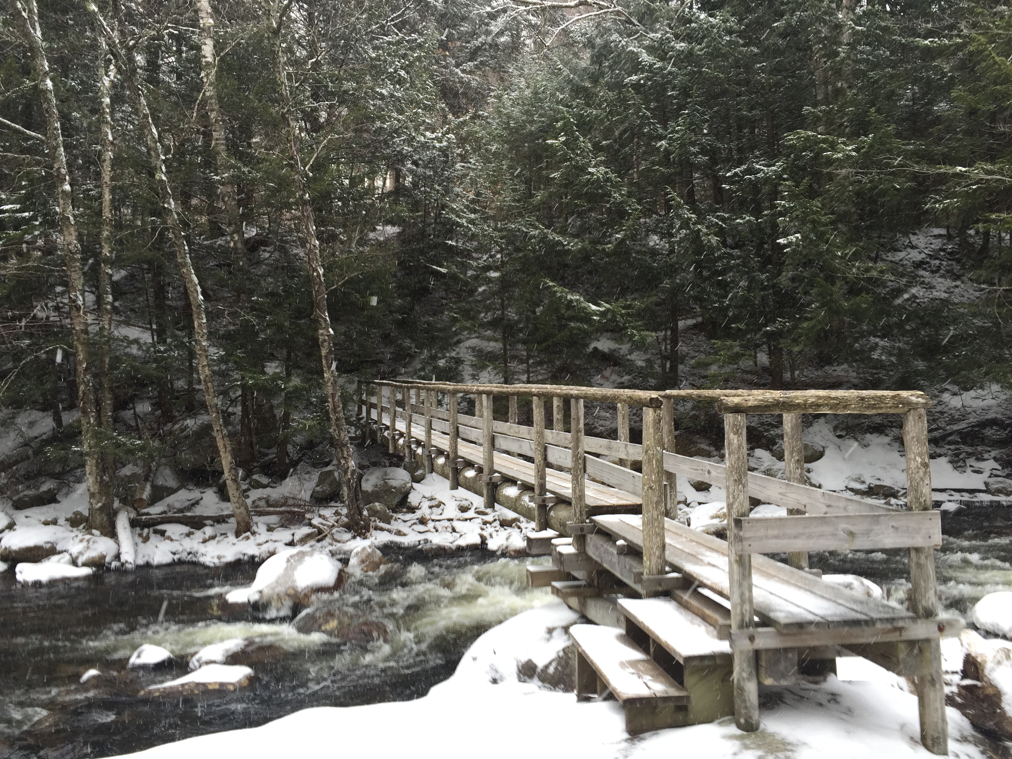
We stayed only long enough to take a couple of photos before following the trail leading over the bridge to the other side of the lake.

Bridge leading you across the lake.
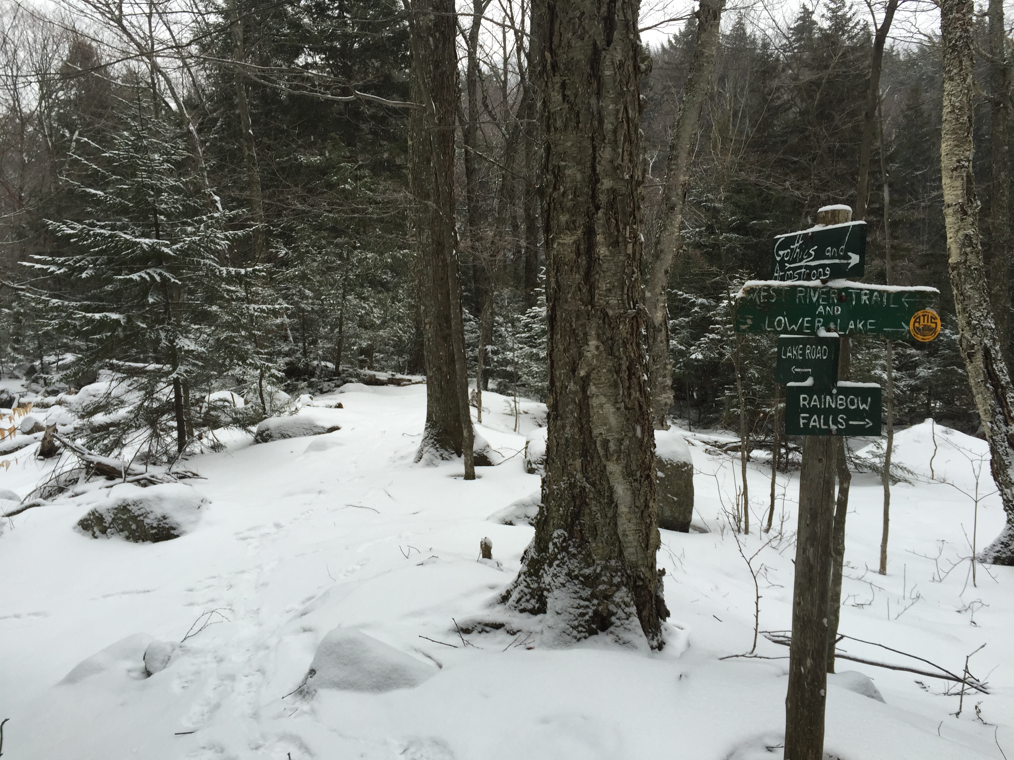
Once we crossed the bridge there is a series of trail junctions in quick succession. We just kept following the signs for Gothics which would lead us up the shortest route to the col between Sawteeth and Gothics.
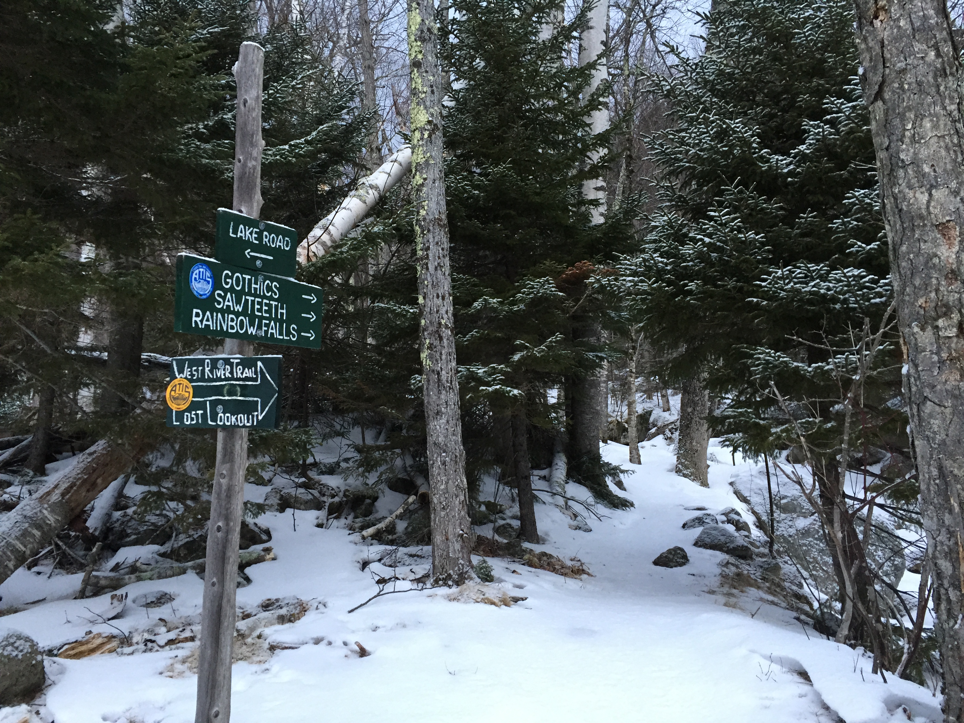
First junction after crossing the bridge.
At the second junction after the bridge you reach the split for the scenic trail and or regular trail up to Sawteeth. I have personally never hiked the scenic trail as it comes in at twice the distance (3 miles vs 1.5) but from what I hear it is nice, albeit in a bit of disrepair. Since speed was the name of the game on this particular day it was a non choice and we kept moving up the steeper but shorter trail.

Second trail junction after the bridge.
After another short distance we hit the last junction for a while which marked the split between the Gothics trail and the trail which led to the base of Rainbow Falls. We didn’t take the time to go to the base of the falls but from the Gothics trail you do get a mostly obstructed view of the falls from up above.

Trail junction for Rainbow Falls.
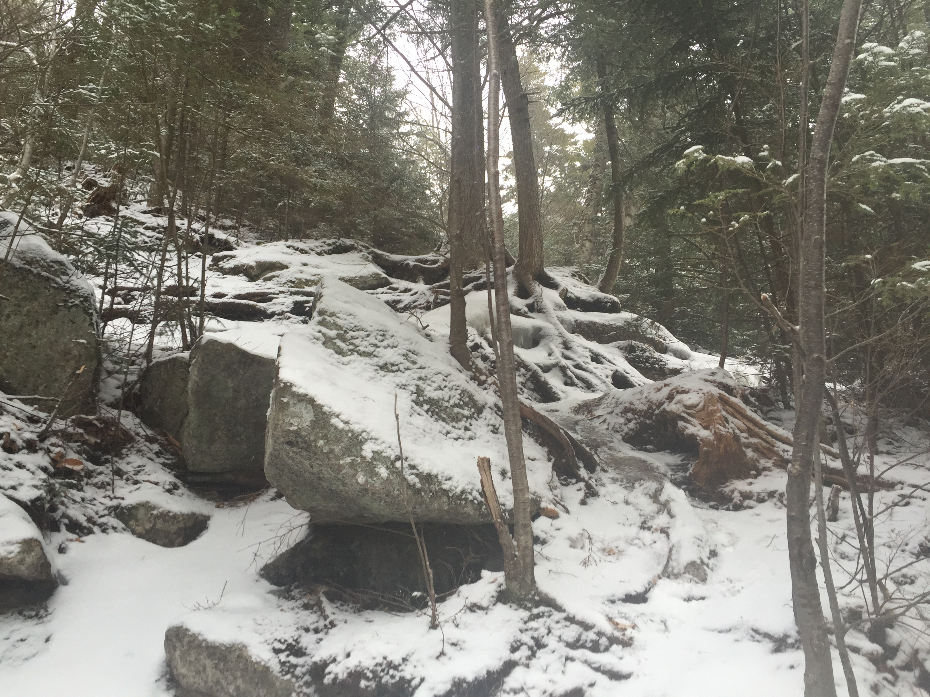
The trail at this point becomes quite steep with a constant grade leading all the way up to the junction at the col between Sawteeth and Pyramid mountain. The trail is not particular difficult but the constant grade does make for a good work out. The trail was also still quite icy at this point and my dull micro spikes certainly didn’t help as much as id like. I really need to get around to sharpening them or just replacing them at this point.

Start of the trail following the junction for Rainbow Falls.
After a short bit of hiking we reached the cutout on the trail for the lookout over Rainbow Falls. The overlook is quite overgrown but it is still clear enough to get a decent view. On this particular day the waterfall wasn’t completely frozen and water could be seen pouring freely over the falls.
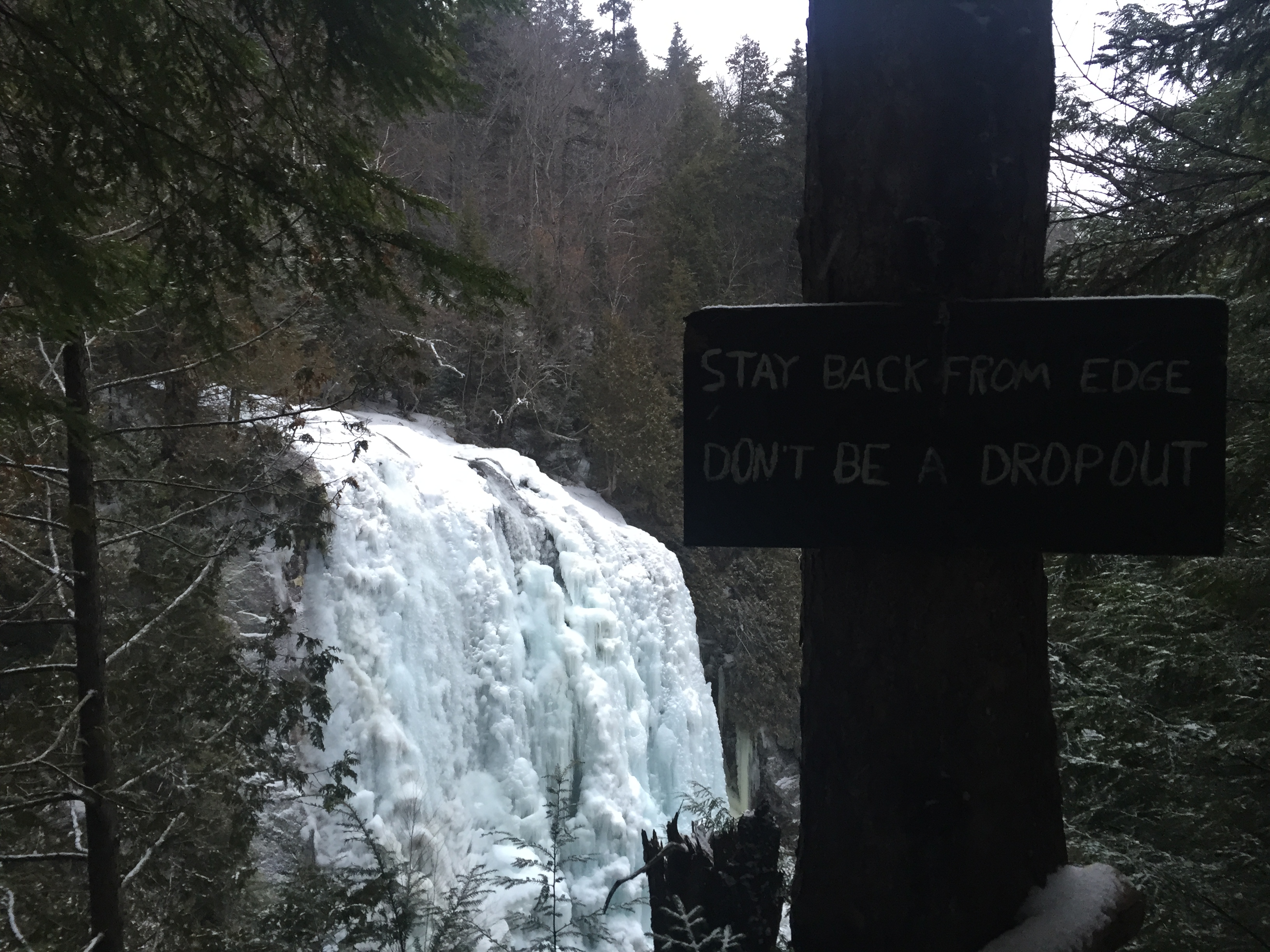
Fair warning!
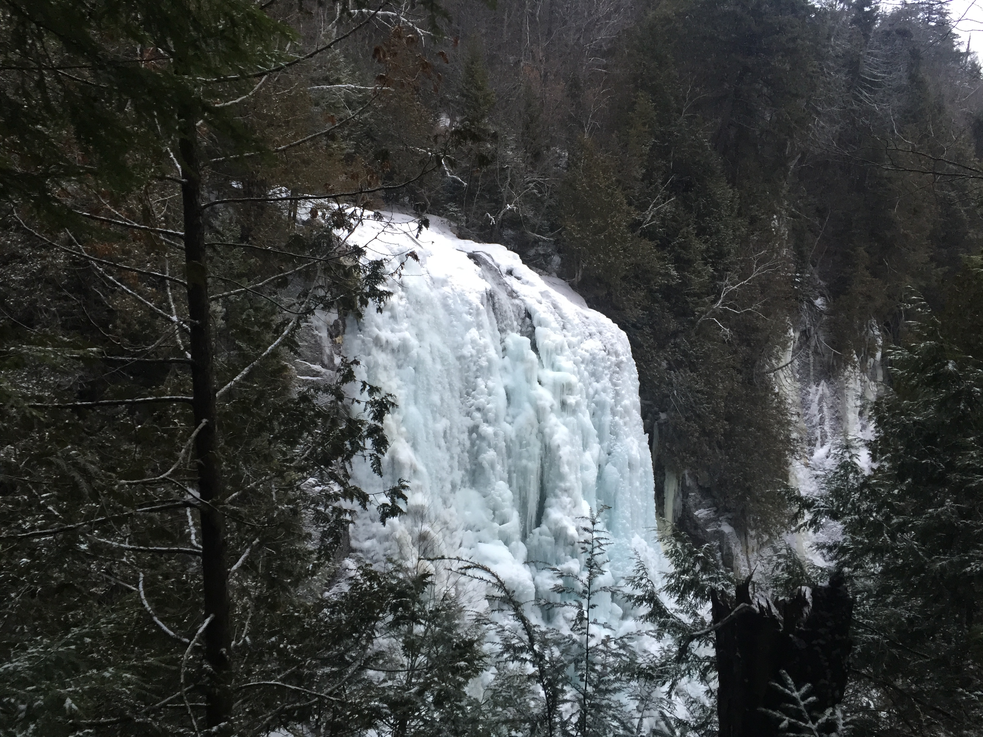
Rainbow Falls as seen from the Gothics trail.
We only stayed long enough to have a drink of water and continue up the steep hike. Andrew kept a pretty brisk pace on the way up so I had a good time trying to keep up. After only hiking for a short distance I had to stop and switch my layers as I was starting to sweat through everything due to the warm temps and after changing my systems I found it easier to keep the pace.

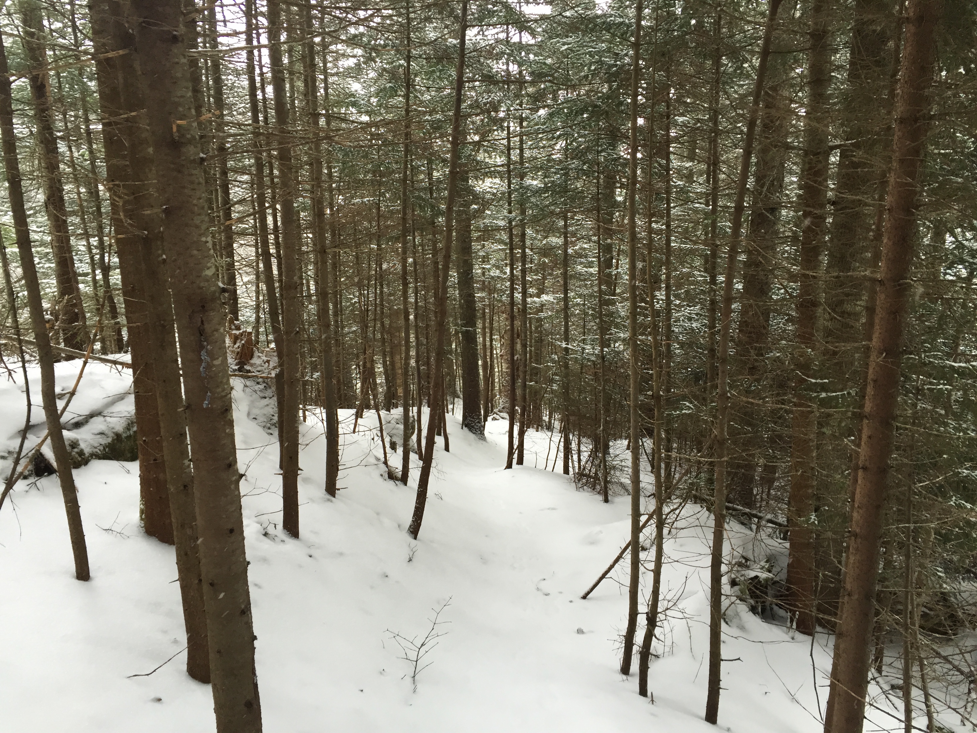
The trail leading up to the col. The trail is a bit steeper than it seems in the picture and the grade never let up for the entire distance.
As we got higher up on the mountain the snowfall became a bit more constant and the grade of the trail increased even more. However, we didn’t really stop at all on the way so we were able to maintain a good pace. It was actually a great day in terms of weather despite the snow and we hadn’t seen anyone else all day so it was really quite peaceful.

Trail as we neared the trail junction at the col between Sawteeth and Pyramid.
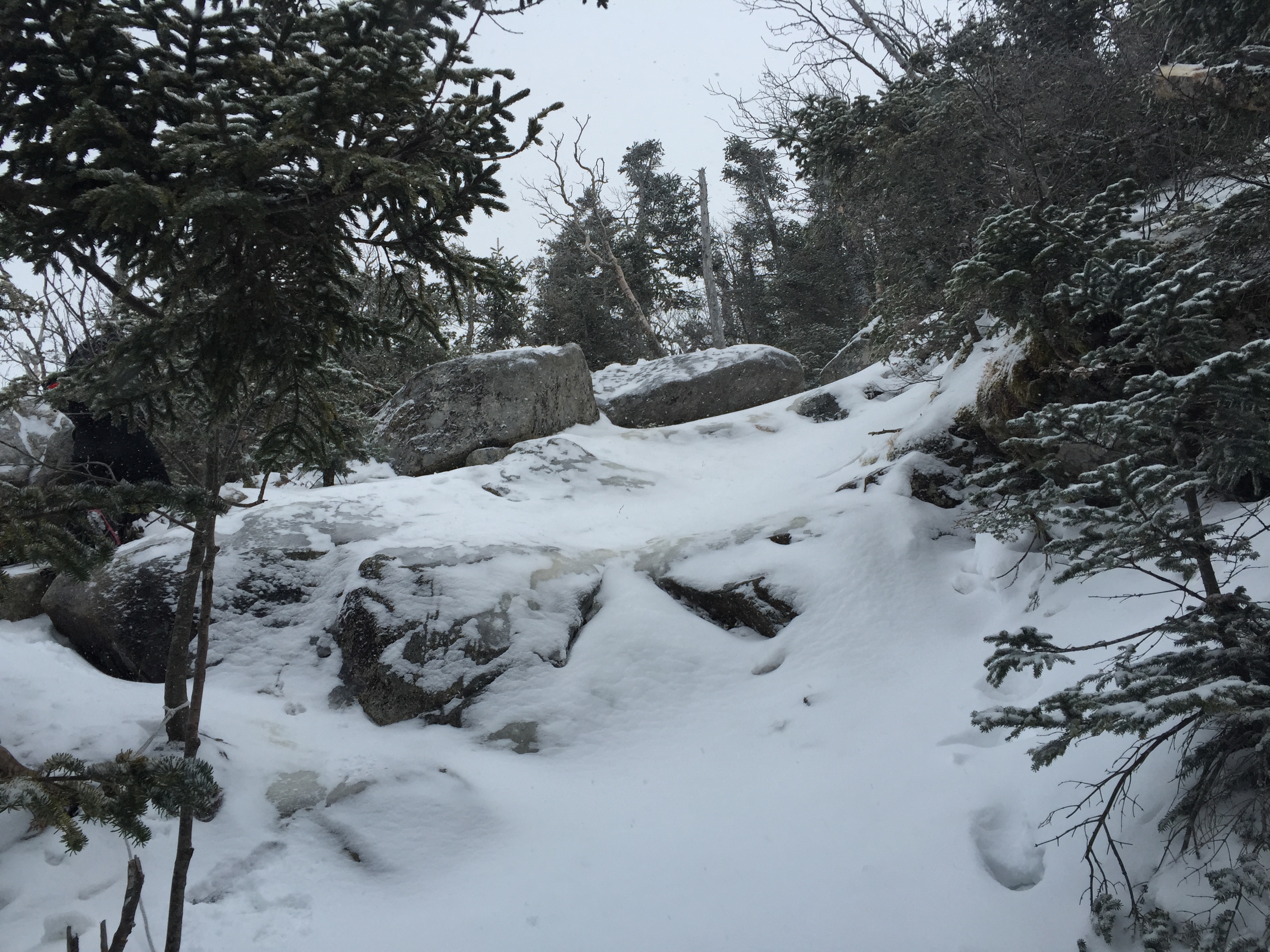
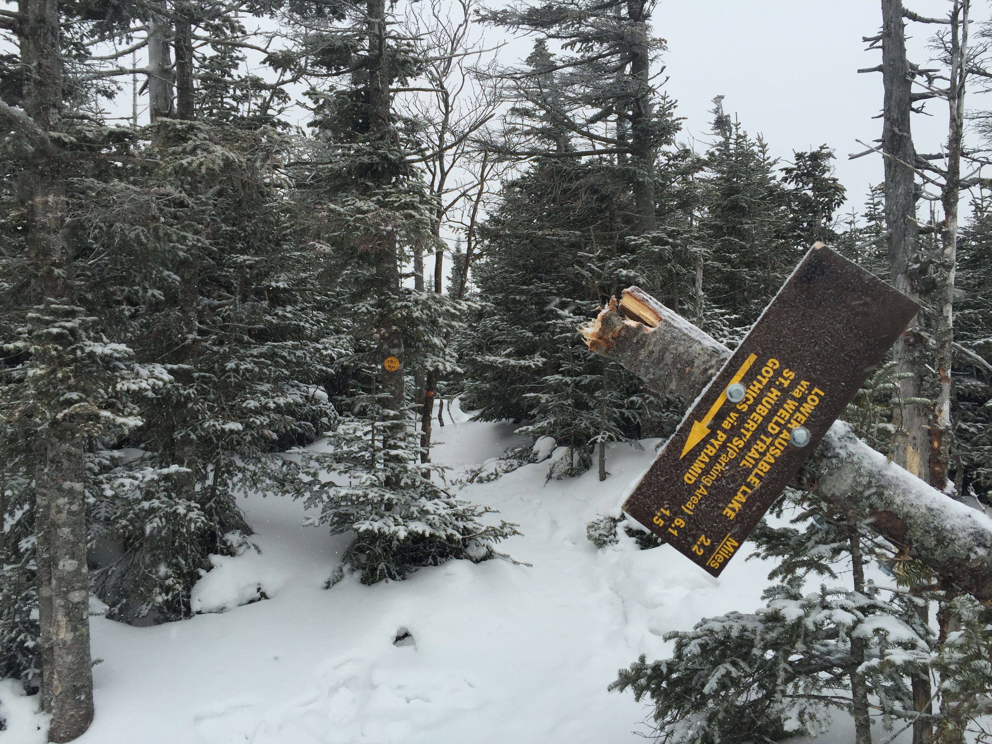
Before too long we reached the col between Sawteeth and Pyramid and stopped for a quick break and to adjust our gear. At this point we had covered the majority of the elevation gain (at least for my part of the day) so I knew it would be fairly easy from here on out.

Trail junction at the col between Sawteeth and Pyramid.
From this point it was just a short 1 mile round trip up to Sawteeth and back so we didn’t waste much time before setting out. The last time I had climbed Sawteeth I didn’t remember it being very memorable but that also may have been because I remember doing it in a bit of a hurry as our main objective for that day was to climb the South Face of Gothics. So I was hoping to enjoy it a bit more this time than last time.

Start of the trail leading up Sawteeth.
Despite the higher elevation the snow was still very thin and the trail was mostly hard packed snow with a thin layer of crusty ice on top. We made quick work on our way up and only had to slow down to navigate a few trickier steep sections. Luckily there were plenty of roots and rocks to grab on to so crampons weren’t necessary but they wouldn’t have hurt to have either.
Looking up one of the steeper sections of trail heading up Sawteeth.
Before too long we found ourselves on top of the ridge and a short jaunt later put us at the summit of Sawteeth. I knew good views were going to be out of the question for the day due to weather but I was hoping to maybe get at least a peak at Pyramid or something but sadly it wasn’t meant to be.
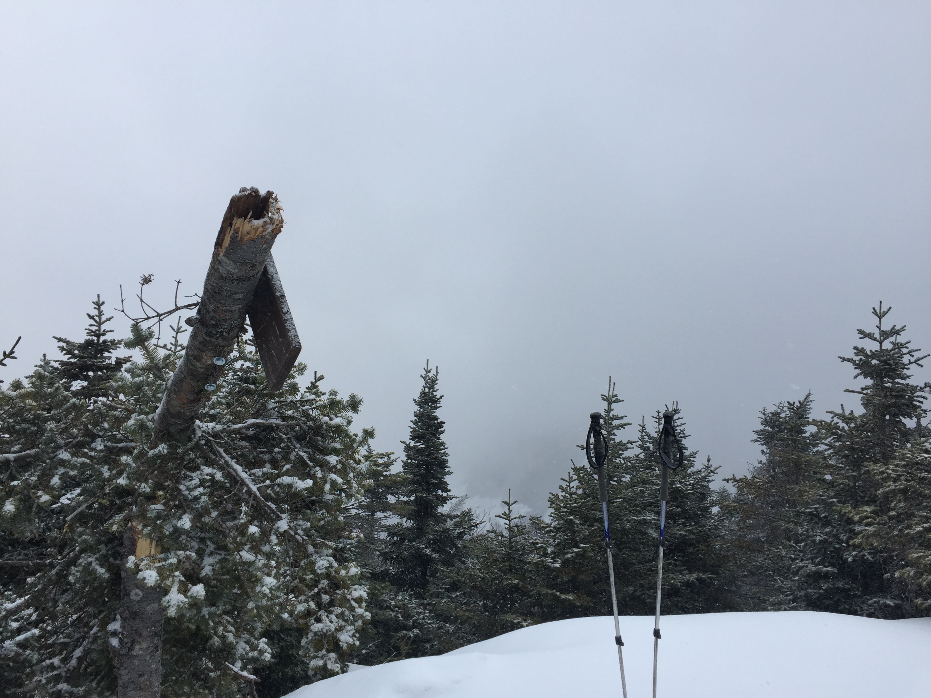
The sign on top of Sawteeth has certainly seen some better days. I also believe its missing one of the two signs that used to be on this tree.
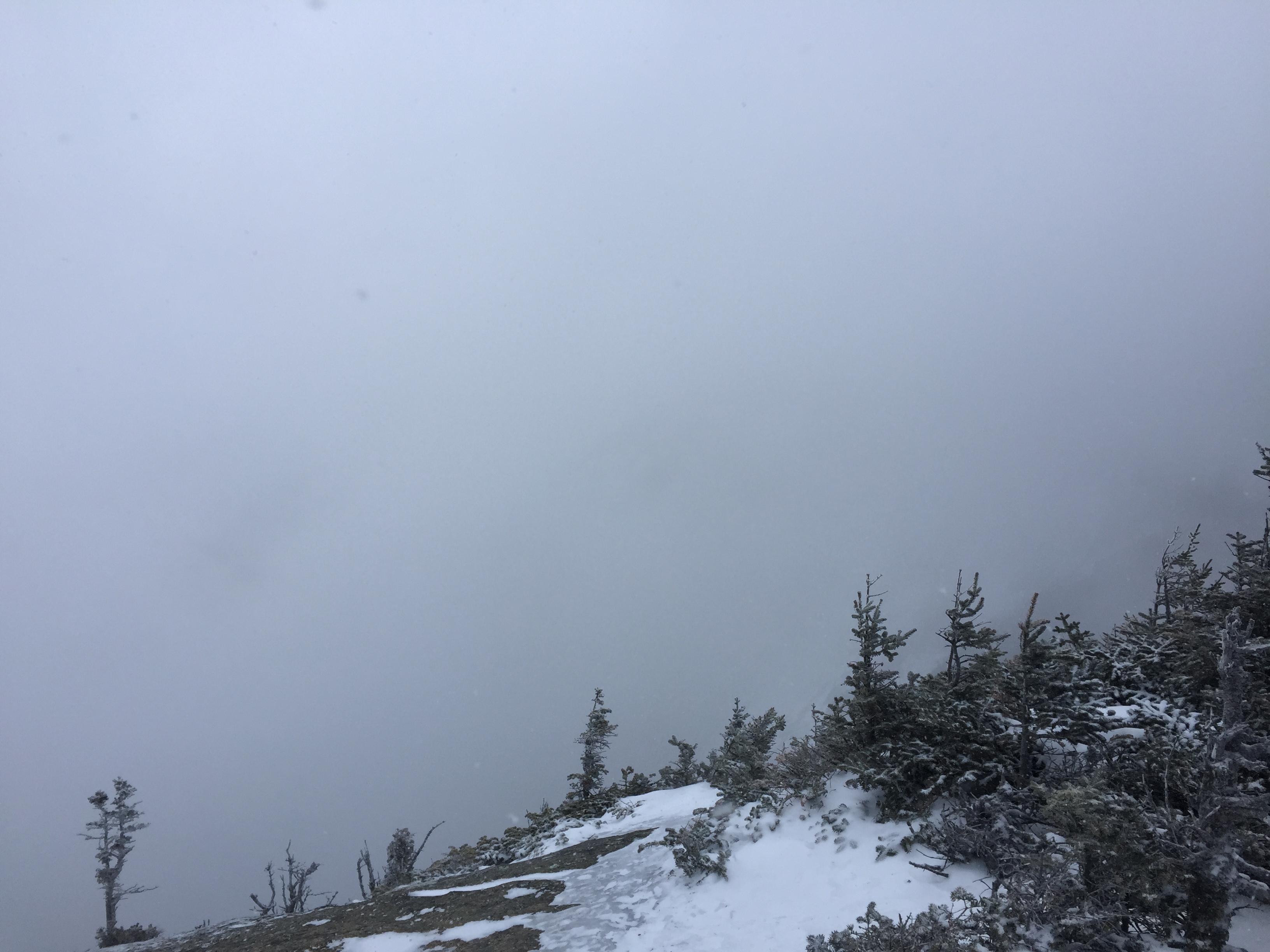
Stunning view off the summit!
After enjoying the beautiful views we made our way back down to the junction. The descent was pretty quick as we were able to butt slide most of it. We only chose to walk down some of the steeper sections to avoid any unexpected launches off the ice bulges along the way. The last thing you want in a screwed up ankle this far out on the trail.
We made it back down to the junction without incident and after stopping for a moment to tighten our boots we continued on our way up to Pyramid and Gothics beyond. The trail up Pyramid was short but still fairly steep. This stretch of trail is pretty fun and beautiful, especially if the weather is nice.

Andrew working his way up the steep stuff with a slide to his right.
A short walk through the short trees lead us the 0.6 miles to the summit of Pyramid.

Trail leading to Pyramid.
In what seemed like less time than it took us to reach the summit of Sawteeth we reached the rocky outcrop which marks the summit of Pyramid mountain. Normally from here you have awesome views of the South Face of Gothics but today it was just clouds and snow in the distance.
View from the summit of Pyramid. Gothics is somewhere in the clouds…..
Starting on the summit of Pyramid the wind picked up substantially and we prepared ourselves accordingly for the summit ridge of Gothics which we knew would be even worse. We made our way down the trail pretty quickly so we could get up and over Gothics in good time and not hang around in the poor weather for too long.

Final approach up to the summit of Gothics from Pyramid.
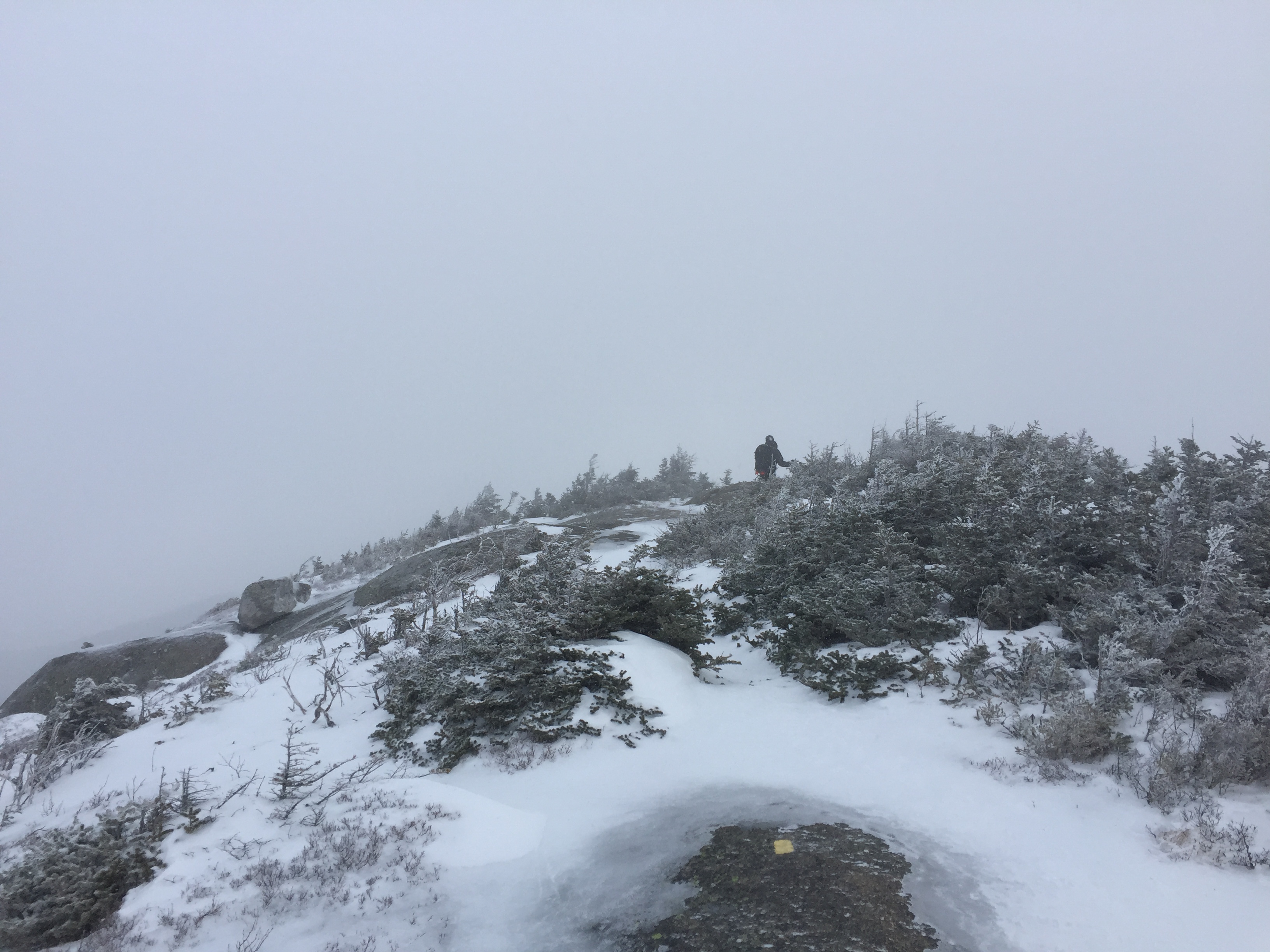
Once we got up to the ridge it opened up to an open windblown slab. The slab was covered in some ice but was mostly bare rock. From here the wind was really howling so we didn’t waste too much time hanging around but we did stop long enough to take a few photos and enjoy the experience.

First open slab before reaching the true summit. The trail weaves its way along this icy ridge.
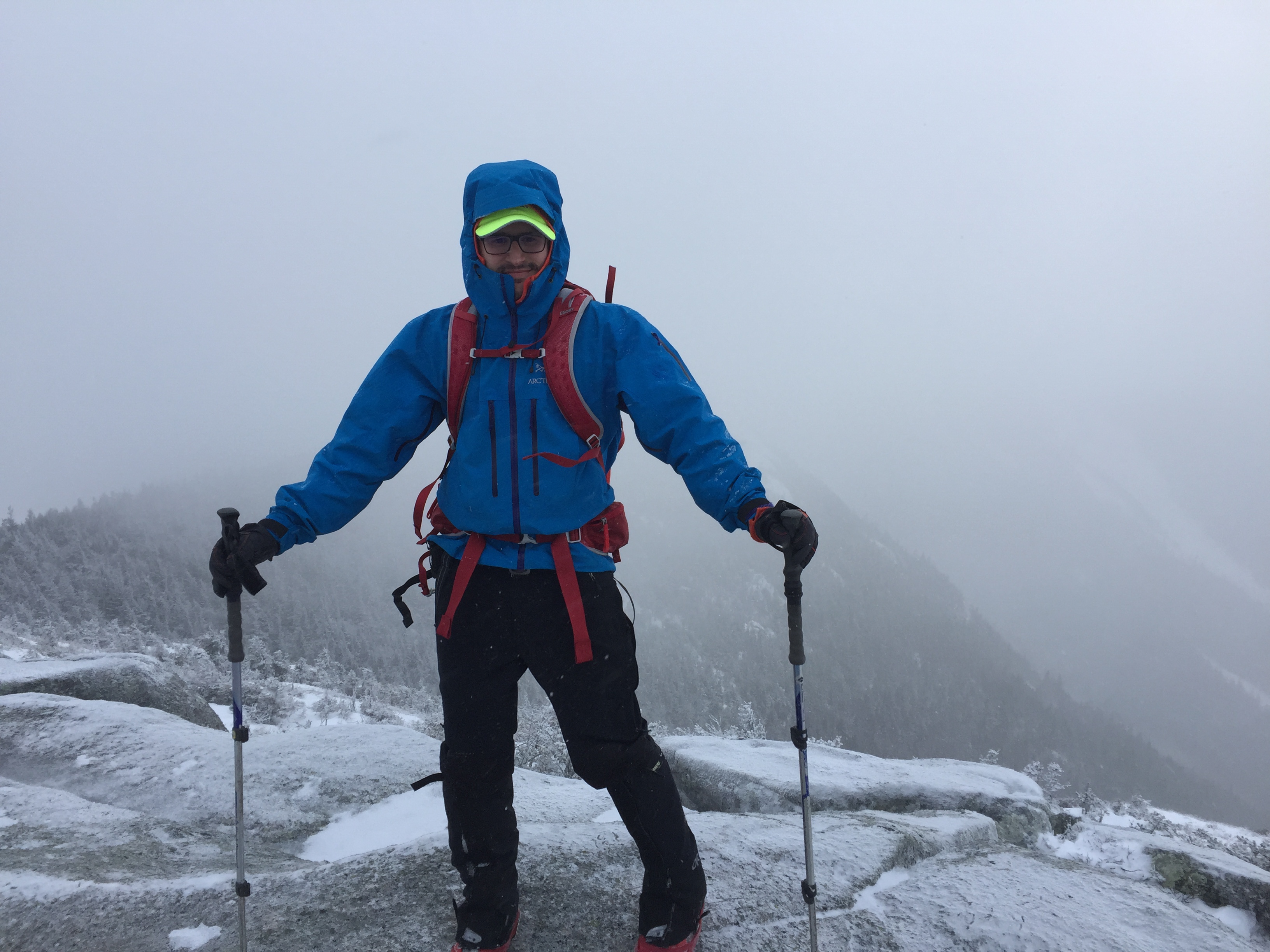
Picture of myself up on the ridge!
After a short walk over the exposed ridge we made our way to the actual summit where the summit marker was still visible since any snow up here had long been blown off by the wind.
Final push on the ridge towards the summit.

Summit marker on top of Gothics.
We didn’t linger long on the summit and continued weaving our way back down the opposite side of the ridge towards Armstrong.
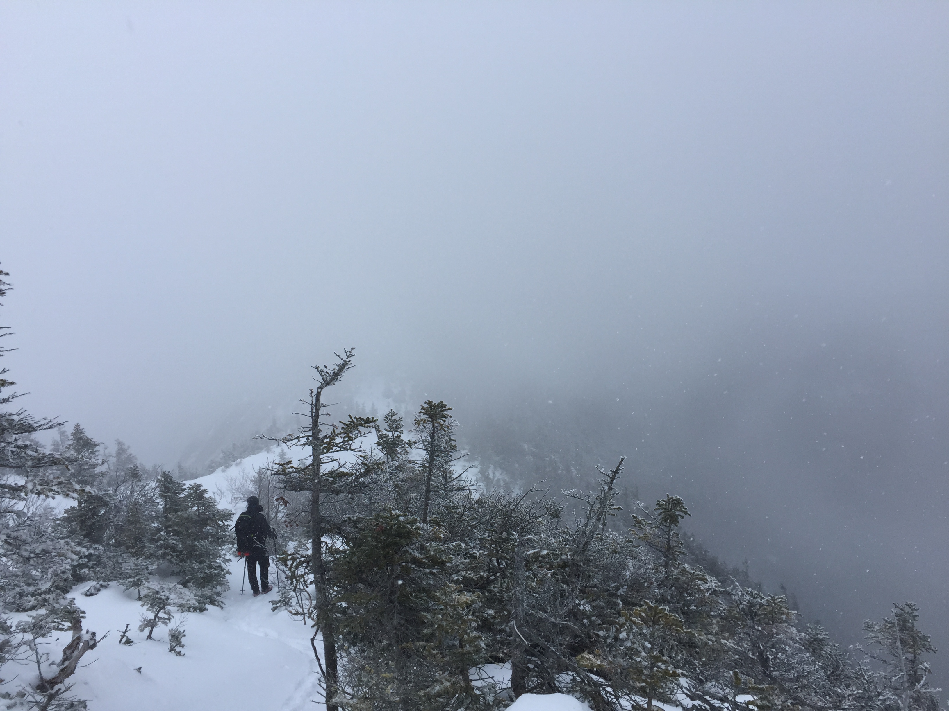
Andrew working his way down the ridge towards Armstrong.
We lost the trail momentarily on this side of the mountain and even got caught in a couple of spruce traps before we realized our mistake and found the correct path. From here a short descent put us at the trail junction for Armstrong as well as an optional decent back to the road. At this point I considered continuing on to finish the Great Range but knowing that I didn’t have crampons for the steep ladder section between Armstrong and Upper Wolf Jaw made me vote against it. Instead I parted ways with Andrew and wished him luck on the rest of his day. He was moving fast so I knew he would have no problem tackling the rest of the range. In retrospect I should have just joined him as honestly it wouldn’t have been much longer than the decent I made off this side of the mountain.

Junction for Armstrong and the descent to St Huberts.
I had taken this trail the last time I climbed Gothics and hadn’t remembered it being particularly challenging but the icy weather sure made things interesting. The descent started simply enough but soon I found myself on a slopping ice covered trail with pretty dramatic drops down cliffs to my side.

Easy start to the descent trail.
I actually didn’t stop to take many pictures through this section as I was mostly focused on walking carefully. If I had actual crampons on or perhaps less dull micro spikes it wouldn’t have been as big of a deal but dealing with what I had it was slow going through these icy sections. With no snow to secure my footing on the steep angles I had to resort to holding on to small trees on the opposite side of the trail as I shuffled along.
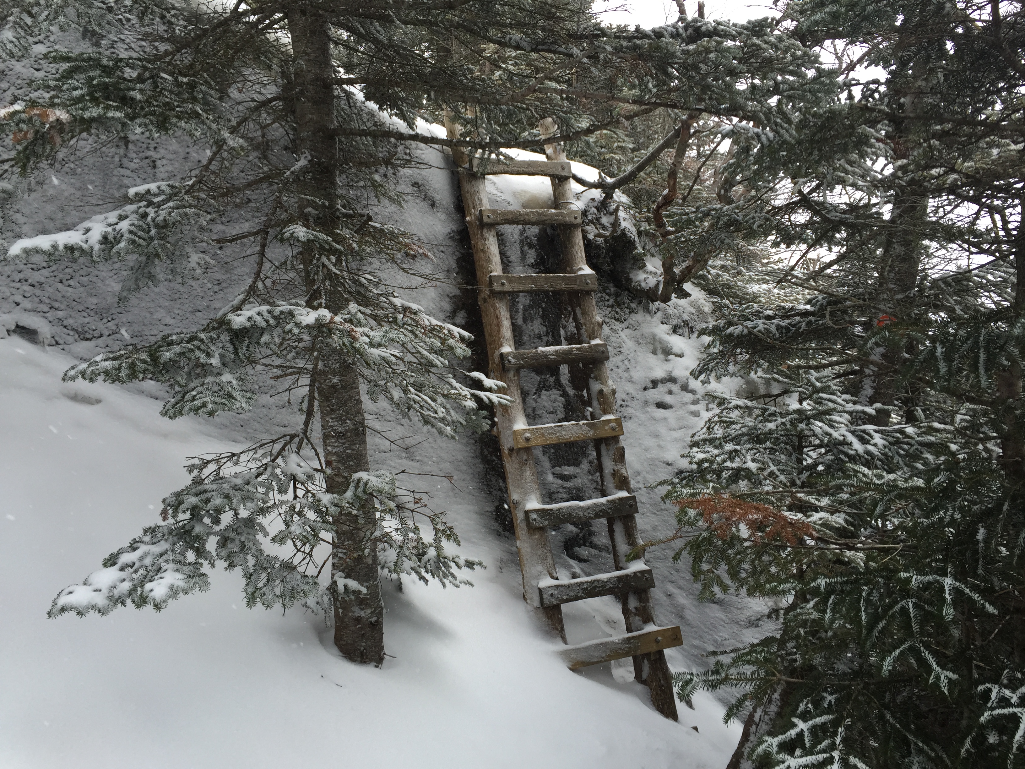
One of the various ladders on this stretch of trail.
It seemed like this section went on for a while but in reality it probably wasn’t very much. Although it did put a bit of a damper on my pace.

trail nearing the end of the icy ledges.
After passing the sketchy stuff I was able to pick up the pace again and took a short break under a large rock outcrop to have a snack and pull out my headphones for the few miles I had left on my descent.
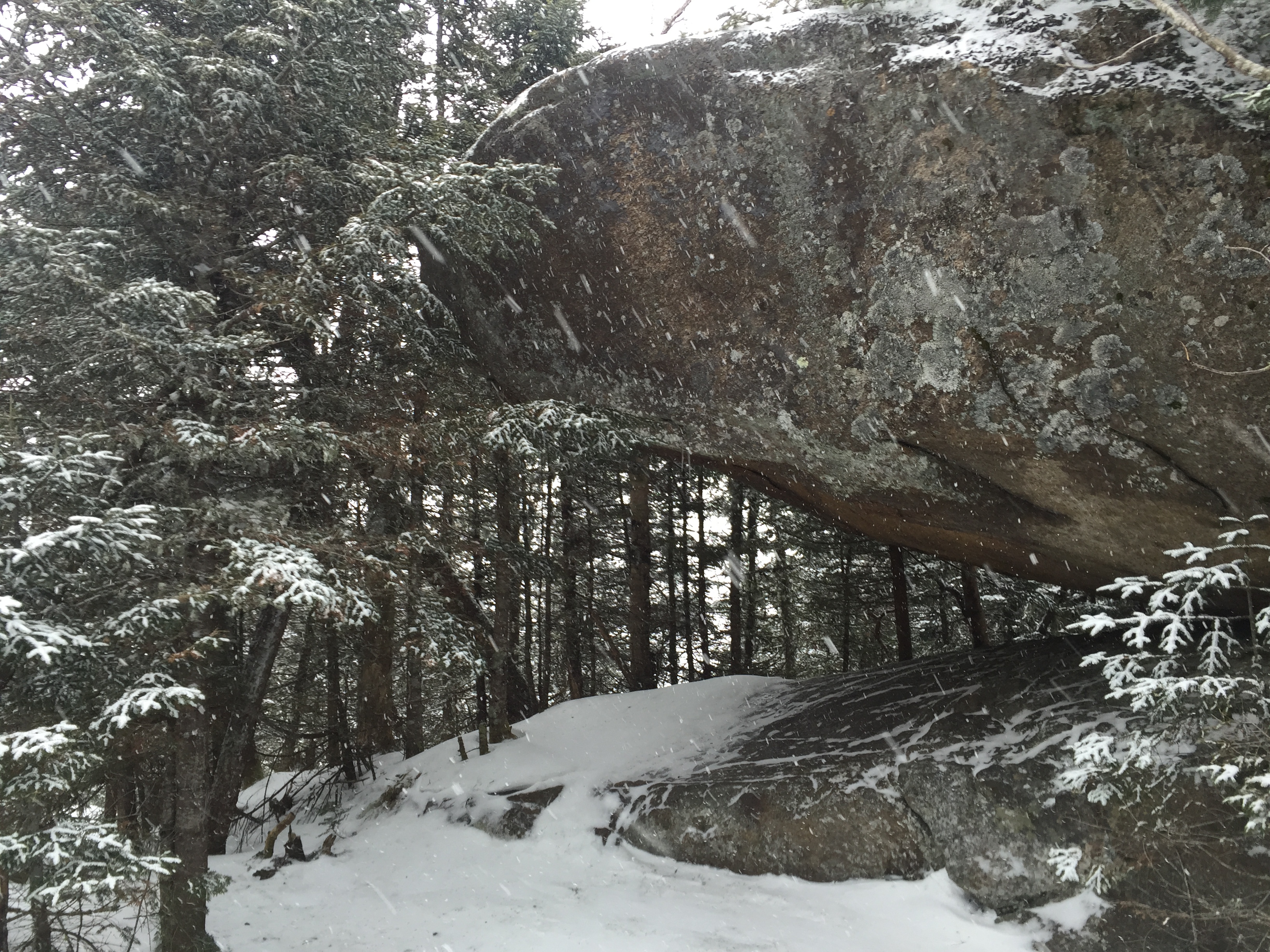
Nice spot to stop and regroup.
After my break I was able to make quick work of the descent and had a combination of quick hiking and butt sliding where conditions allowed. In general the trail was in good shape from this point on so it was quite pleasant if not a little boring.

Descent down the untouched trail.
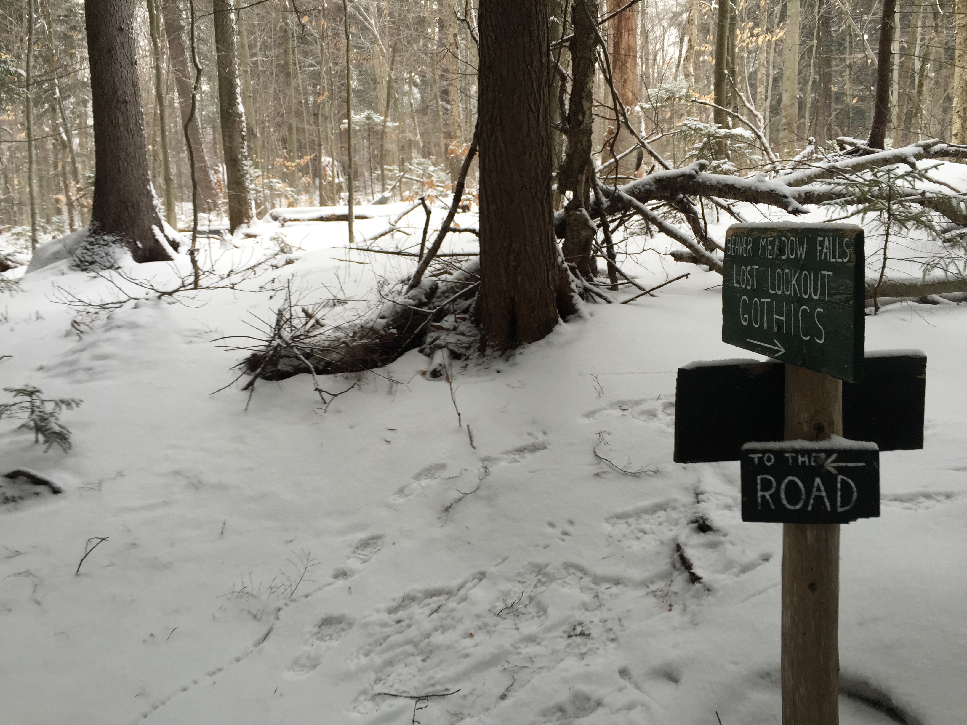
The trail was still untouched as I worked my way down so I didn’t expect to see anyone else along the way coming up this late in the day. The descent from this point on was pretty uneventful but it is always nice to watch the vegetation change as you work your way down in elevation.
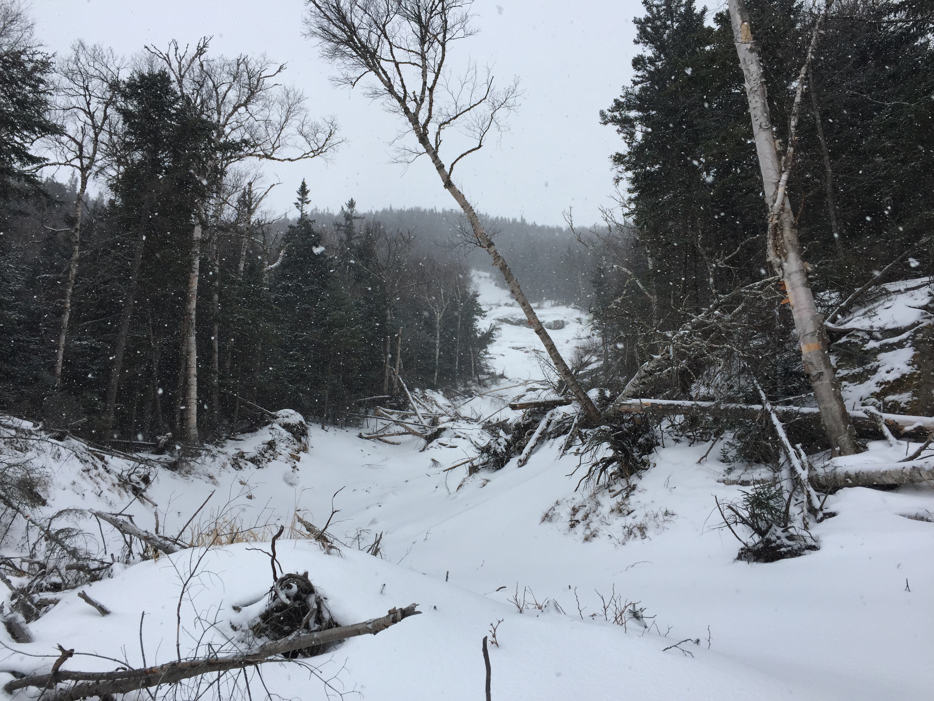
Trail leading down to Beaver Meadow Falls.
After a while I reached a clearing which cut across where a large slide had cleared a large swath out of the mountainside.
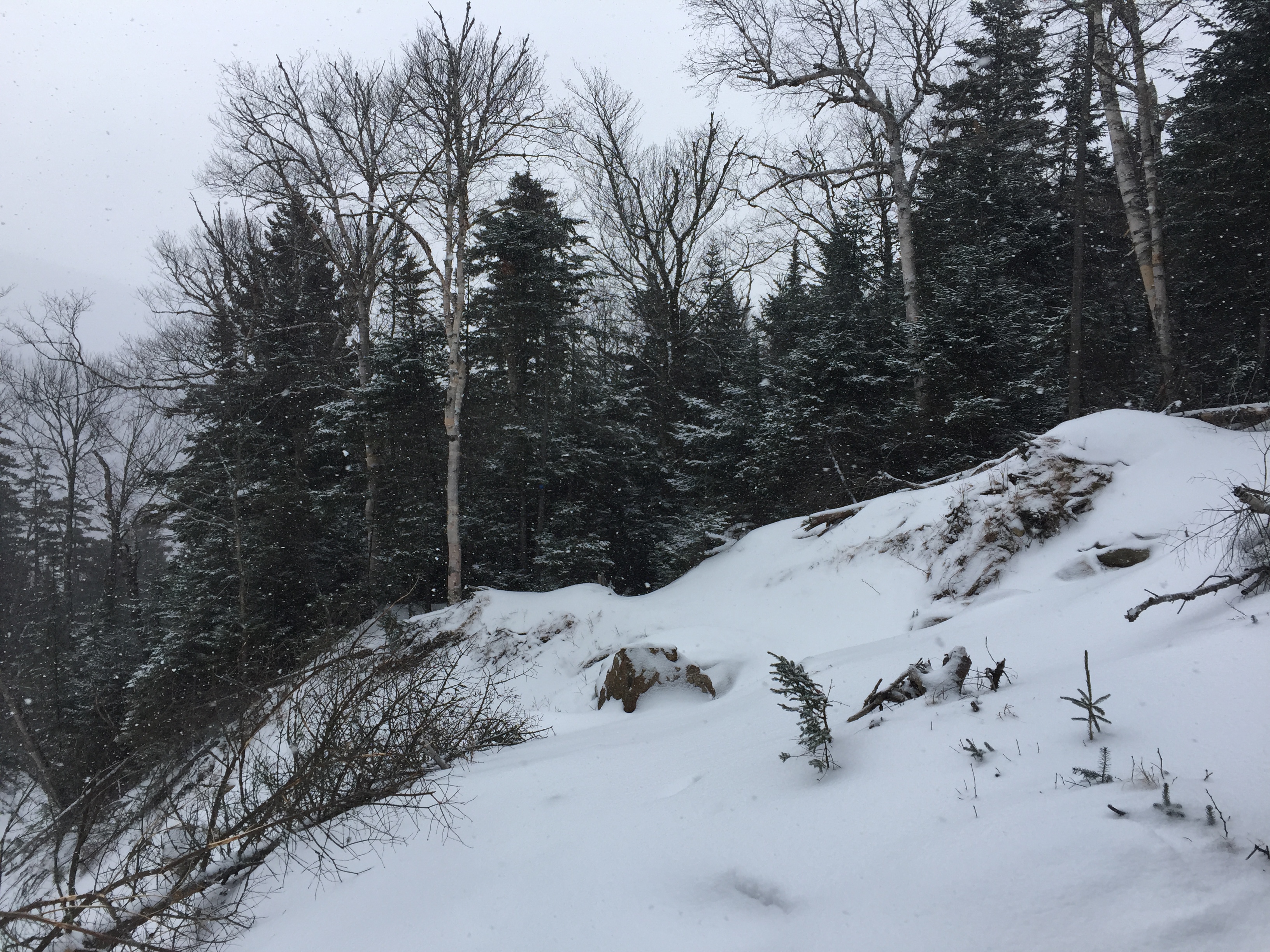
The trail cutting across the slide.
Looking up the large slide.
From here more easy hiking lead me to the boundary of the Ausable Clubs property which let me know I was getting closer to the road.

I think this is private property but I can’t really be sure………
From here the junctions became quite a bit more frequent as various trails wound their way all over this portion of the Ausable Clubs property around Beaver Meadow Falls. At the first junction I reached I kept going along the West River Trail.
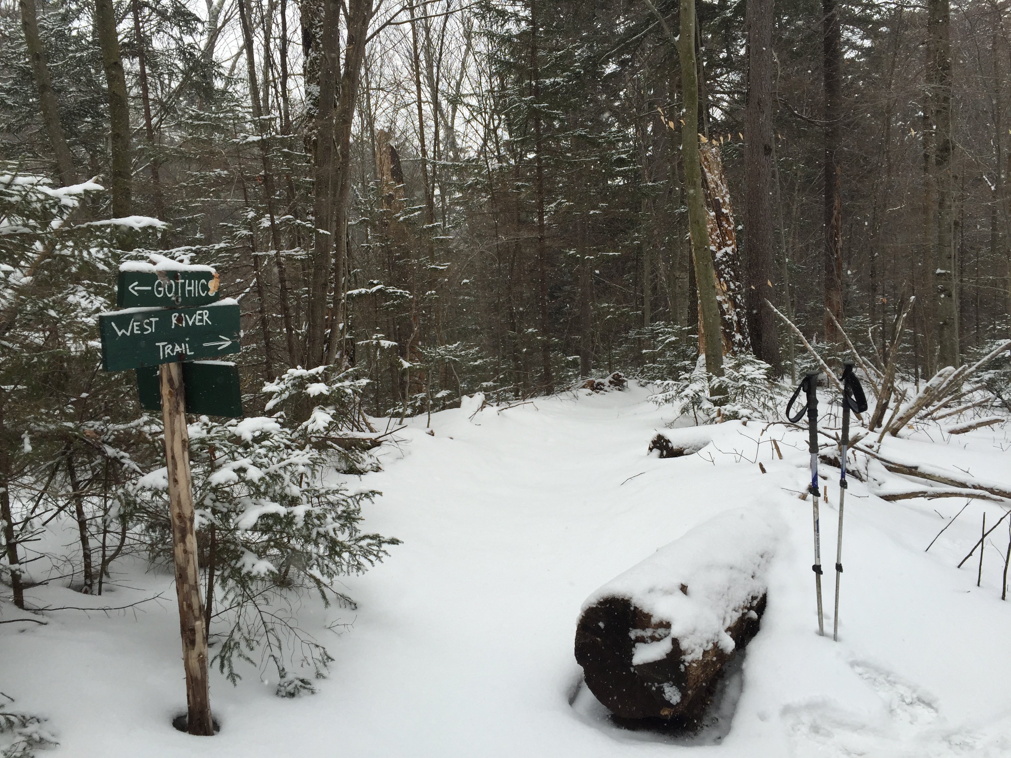
Junction for the West River Trail.
The hiking from here continued to be fairly uneventful as the trail had flattened out significantly and until I reached Beaver Meadow Falls there really wasn’t much else to look at. The trail dragged on for a bit until I reached the steep descent down to the base of the falls. From here I had to really move slowly as the ice was very thick and my spikes weren’t gripping very well on the steep grade. It took longer than I would have liked but I was able to descend without too much difficulty.
It doesn’t seem like it from the photo but this descent near the falls was an icy mess.
Beaver Meadow Falls was mostly frozen over but was still pretty cool. I had forgotten passing through here last time but I was happy to get to see it again. I wouldn’t mind coming back this way in the summer months to enjoy it with more time.

Beaver Meadow Falls
After passing the falls there is a number of junctions which lead you slowly back out to Lake Road.
Junction for the Lake Road after passing Beaver Meadow Falls.
Another short section of hiking brought me to a bridge which lead over the brook.
Bridge crossing the brook near Beaver Meadow Falls.

Looking out from the bridge up river.
After passing the bridge I have to admit the trail got pretty dull and I was really just hoping to get back to the road sooner rather than later. It seemed to take longer than I would have thought for the distance but after passing a couple of trail junctions I reached the road.
1 Junction.
2 Junction.

Looking back at the trail I exited on at the road.
The trail can be done in reverse from this point as well but honestly I’m not sure it would be particularly easier. After reaching the road I picked up my pace and shuffled my way back down to the parking lot.
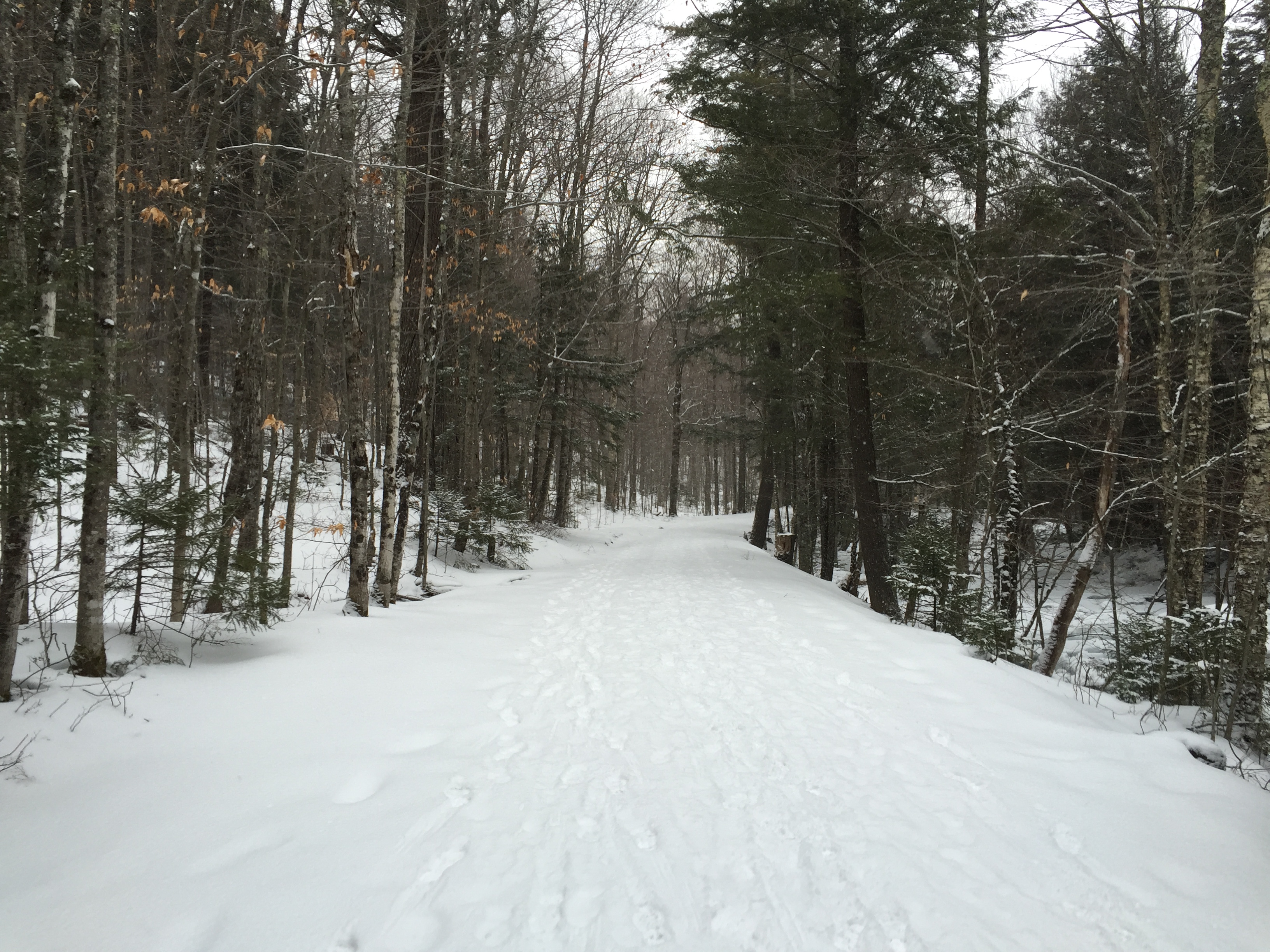
Looking down Lake Road.
I reached the gate after a short uneventful walk down the road and signed out at 1pm. I would later find out that Andrew finished the rest of his traverse only an hour or so behind me (Nice work!) but I was still happy with having a nice day on Gothics and Sawteeth and an under 7 hour round trip wasn’t too bad either. I am certainly excited to get back out this way again soon, hopefully on a day with nice views!
Categories: Adirondack High Peaks Region, New York, Trip Reports

