TRIP REPORT: Plateau, Sugarloaf, Twin Mountain – Catskills, NY 5-20-17
Hiking stats at a glance:
Total Mileage = ~11 miles
Elevation Gain = ~4,000 feet
Hike Highlights = Plateau Mountain (3,829ft), Sugarloaf Mountain (3,806ft), Twin Mountain (3,652ft)
Trailhead = Roaring Kill Road
Total Time = 6 hours
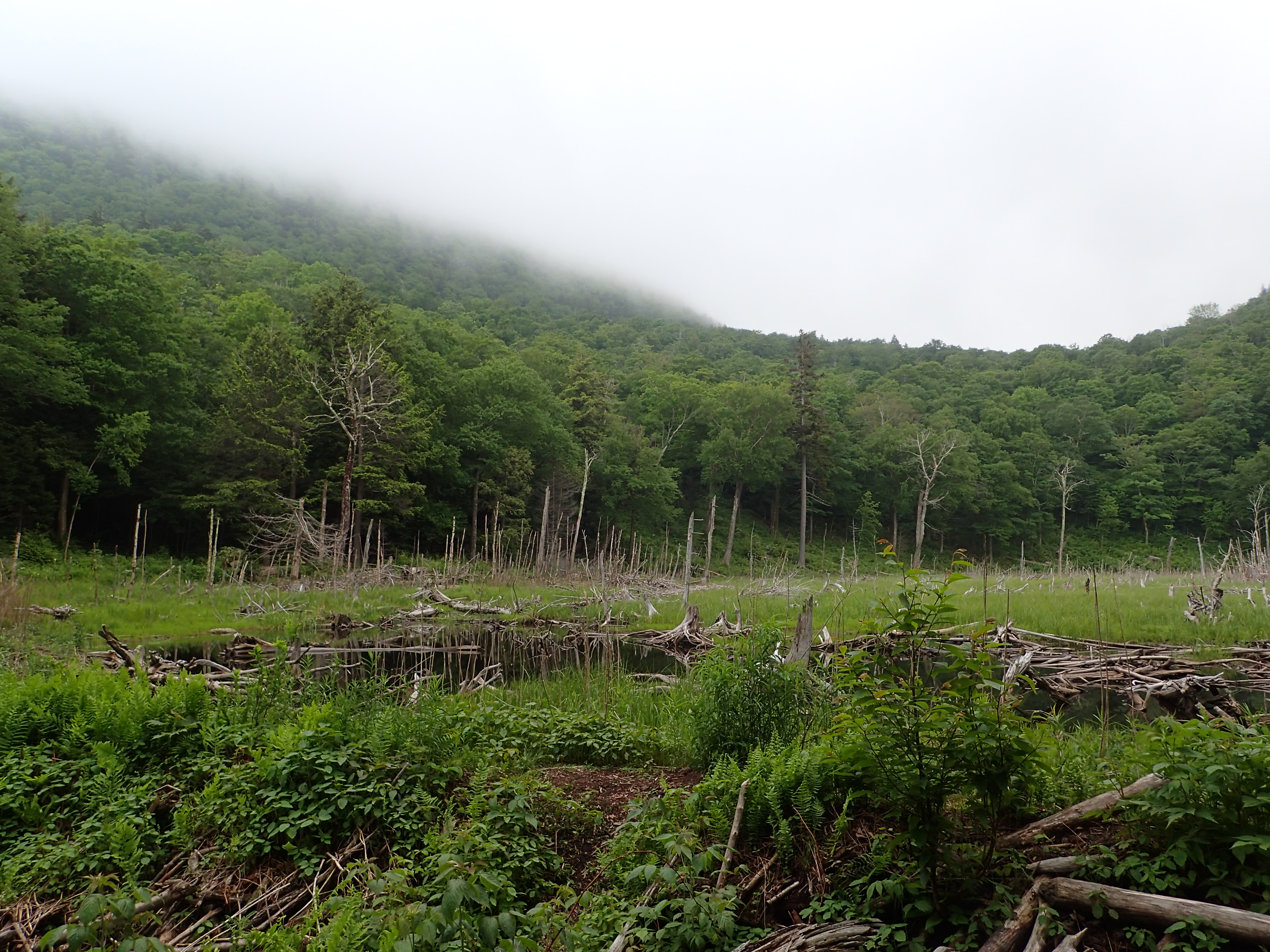
In an effort to get myself back into tip top shape and also put a dent in my Catskill 35er list, I decided to go with a hike of three peaks along the Devils Path in the Catskills. At the suggestion of others I started the hike from the Roaring Kill Road trailhead with the plan of joining the Devils Path and climbing up to Plateau, followed by Sugarloaf, and then ending on Twin before descending back to the trailhead through Dibbles Quarry. The hike turned out to be very enjoyable and a great work out even though the views were non existent.
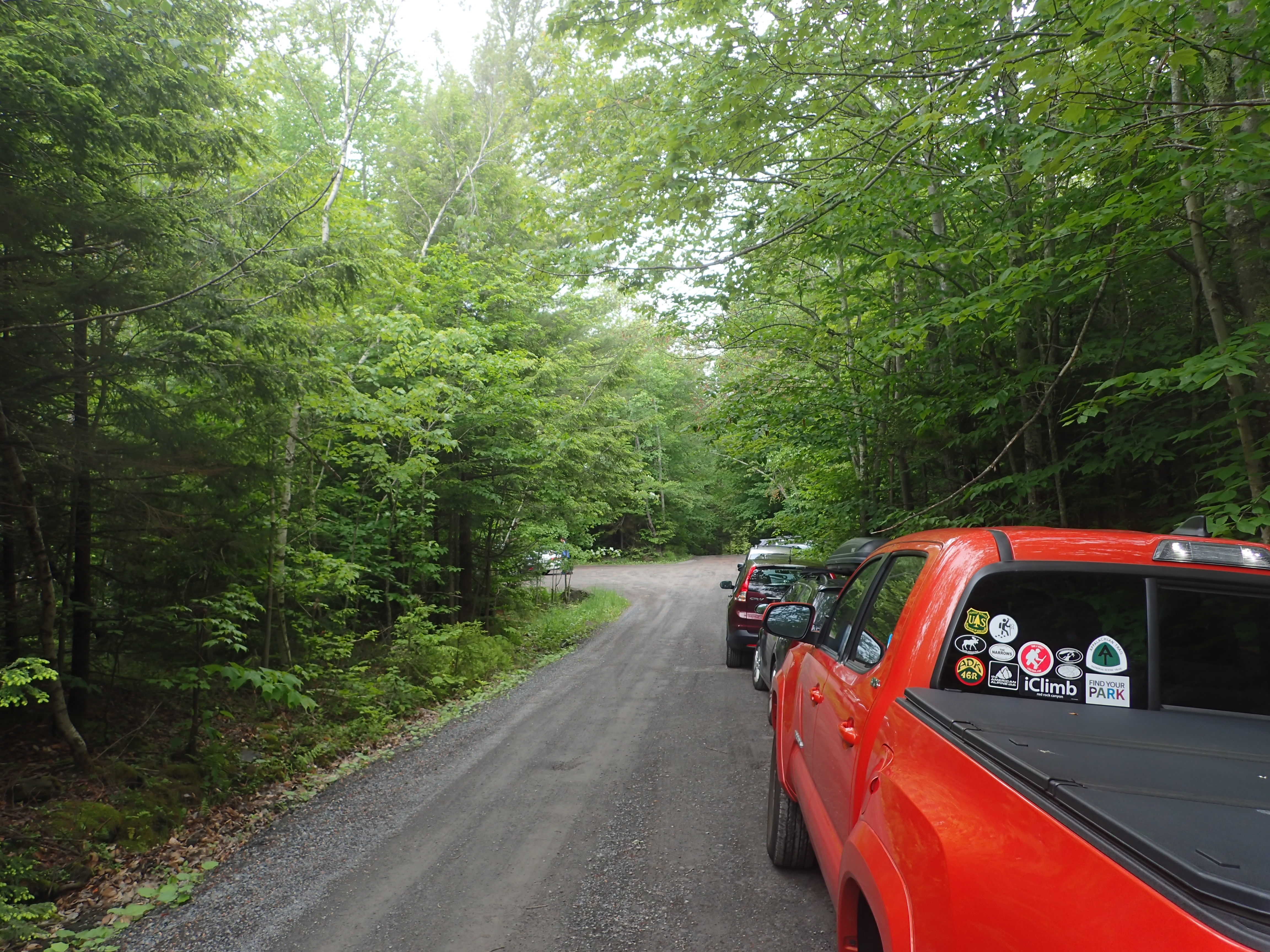
View of the parking along the road at the trailhead. There are only limited parking spots and they were all full when I arrived.
I arrived at the trailhead at about 12 noon and gathered my things quickly before hitting the trail.

View of the start of the trail.
Right after you step into the woods you will see the trail register (Be sure to sign in for your own safety before heading out!). After signing in I started up the trail at a fast but steady pace.

View of the trail register.
This section of trail was fairly flat and gradual with only minimal rocks and roots to contend with so it made a nice warm up jog pretty easy. The trail was also fairly worn and obvious so route finding is no problem through this section.
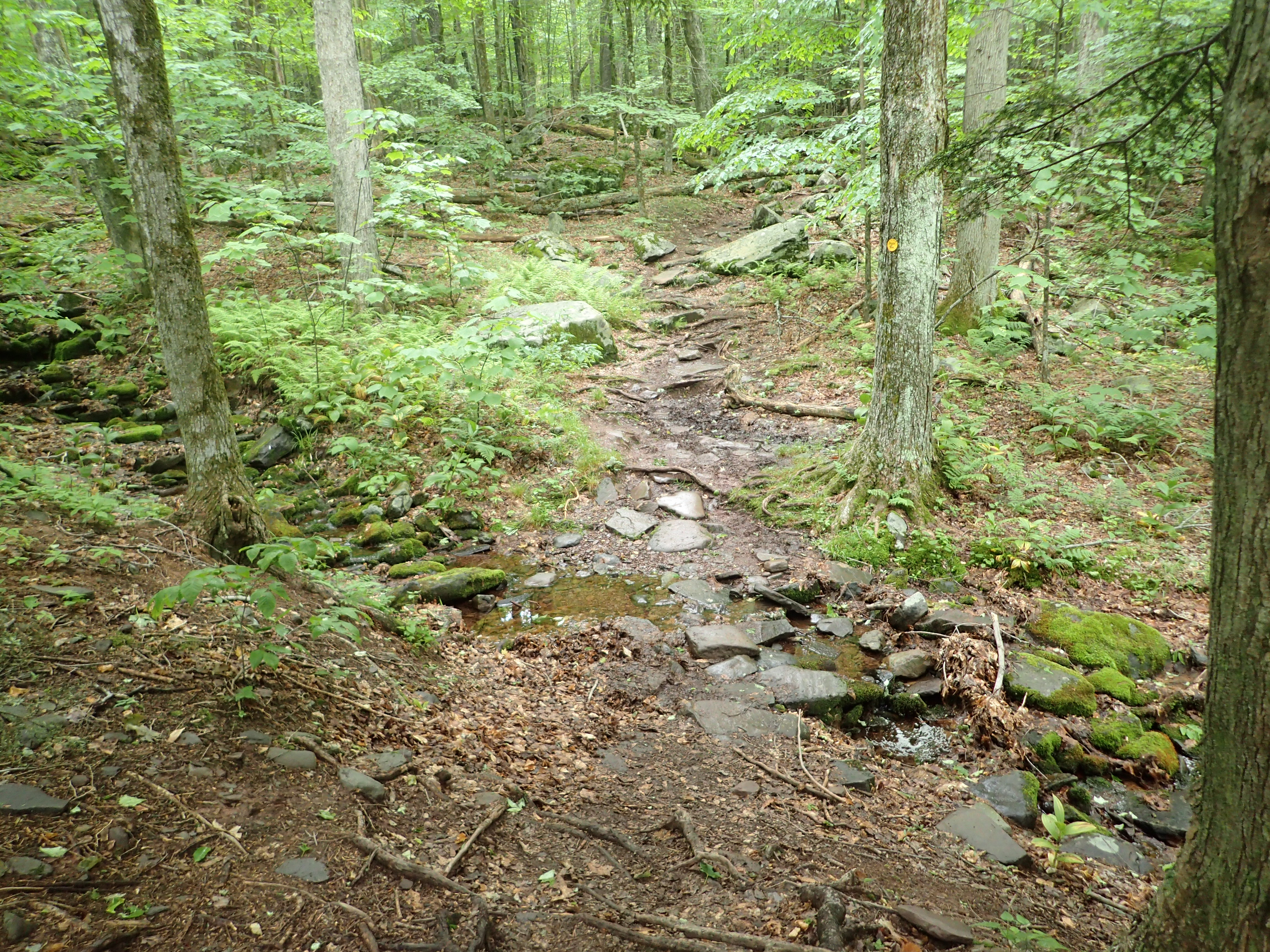
View of the trail leading to the first junction.
Before too long I covered the first 0.3 miles which lead from the trailhead to the first junction. This junction is where the two trails, one on either side of Sugarloaf, lead up and down from the Devils Path. I decided to start to the right (Mink Hollow Trail) which leads up to the Col between Plateau and Sugarloaf. I wanted to start with the furthest away peak (Plateau) and work my way back throughout the day.

View of the first trail junction.
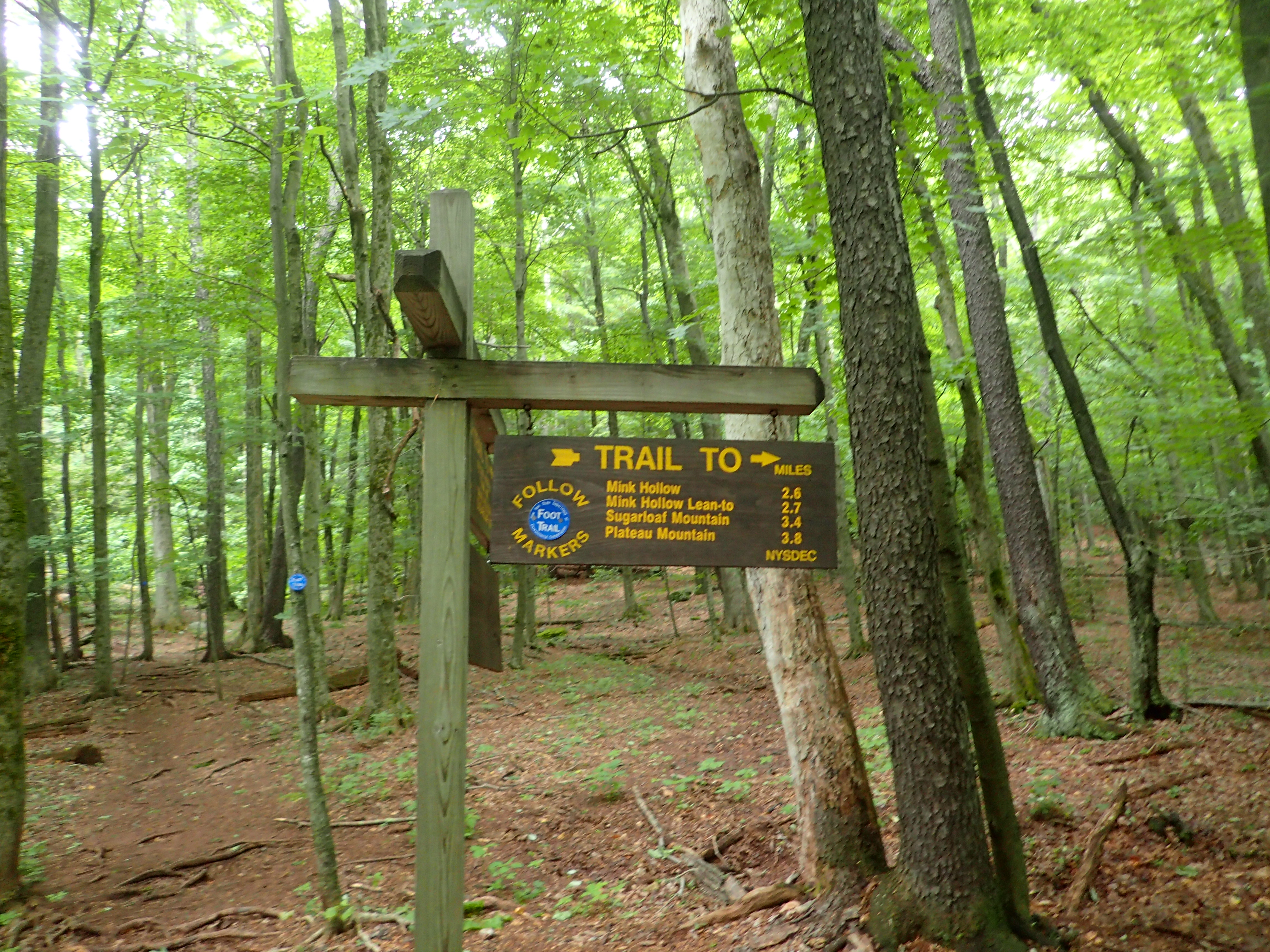
Close up of the sign at the junction.
The trail from here began to climb at a steady grade as you make your way the 2.55 miles to the junction of the Devils Path.

View of the Mink Hollow Trail.

Another view along the way.
This part of the trail was significantly more rocky than the very start of the hike and many of the rocks were slick from the heavy humidity and recent rain. I realized pretty quickly that straight running may not be the best idea and I had to take extra care to watch where I was stepping. Luckily I didn’t have any issues throughout the day besides one or two close calls!

One of many mud holes along the trail.
After a little while I reached a point where the trail levels out as it runs parallel to the ridge. I followed this trail past various rock formations before the trail suddenly makes a sharp right and descends down a couple of switch backs before sending you back up towards the ridge.

View of the trail as it levels out as you traverse the ridge.

View of the sign marking the sharp turn onto the switchback.

I’m sure this is a great view from the switchback when you can actually see it!
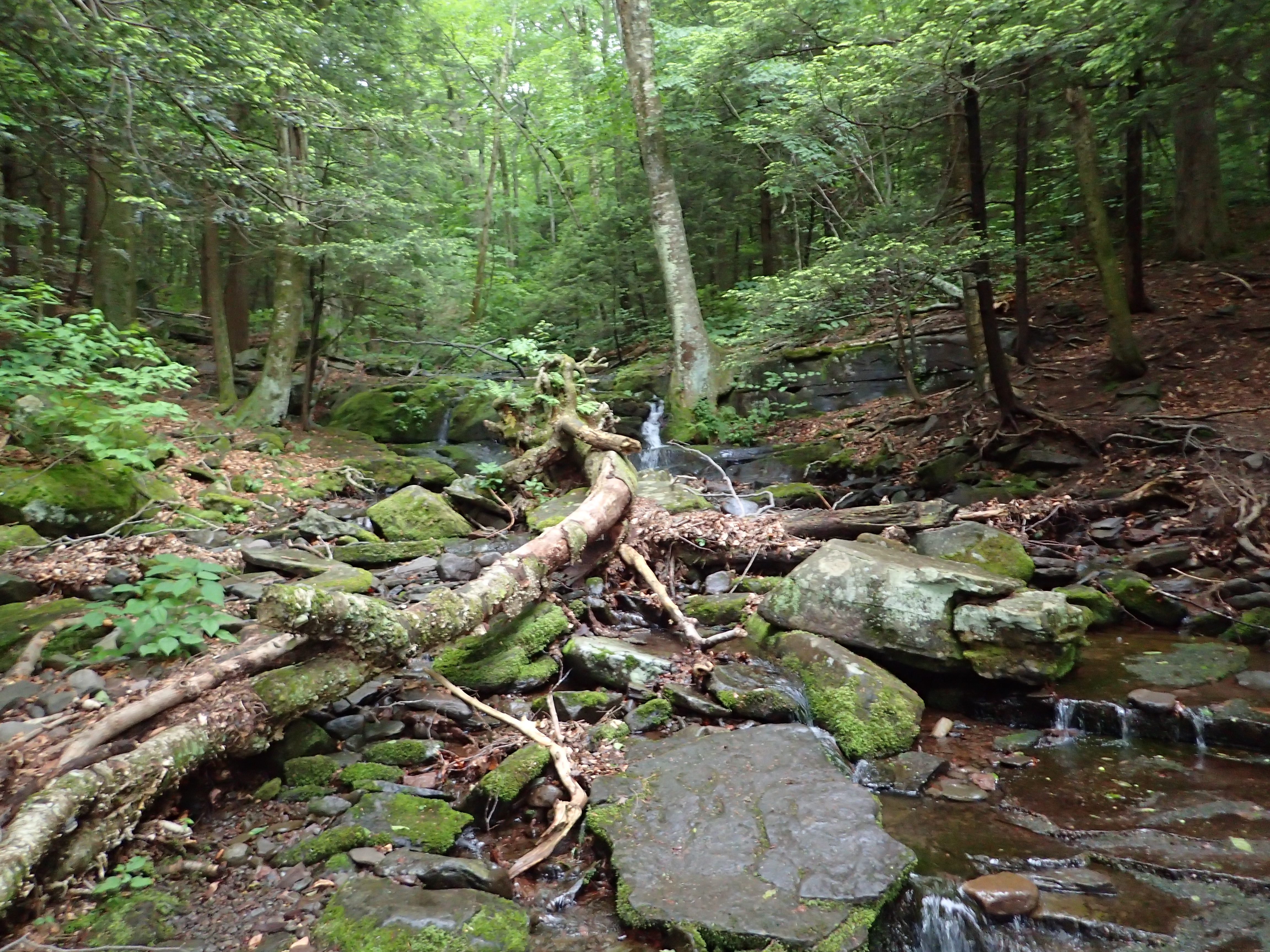
This detour takes you down towards the brook at a mostly flat and mellow spot to cross. After descending a short way I reached what remained of a log bridge crossing the brook. Luckily the brook was running pretty low so I was able to cross through the river without navigating the log bridge.

View of the broken log bridge over the brook.
After crossing the brook it was only another fairly short ascent up to the junction with the Devils Path.

Sign marking the junction with the Devils Path.
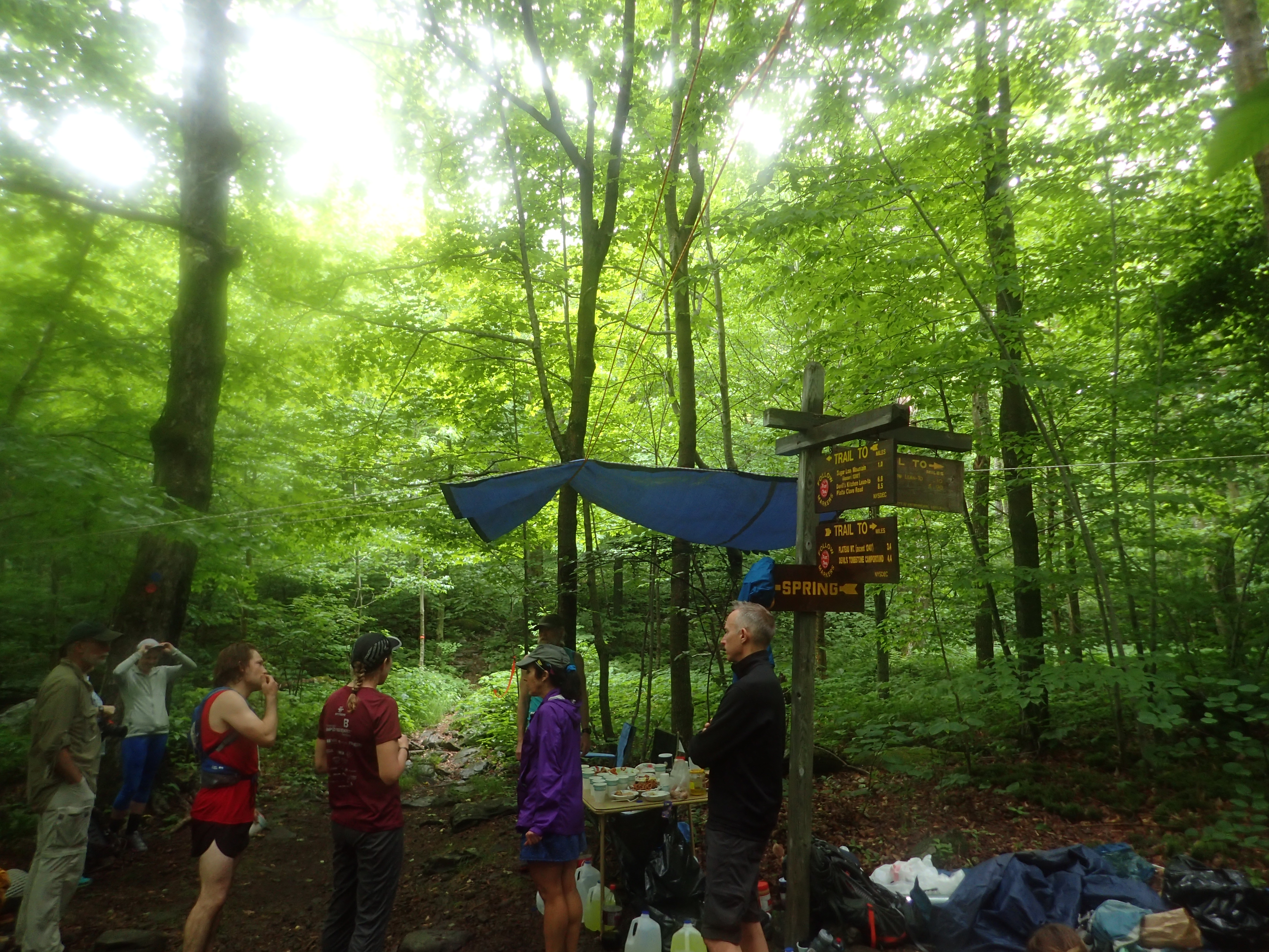
From the junction I hung a right and headed down into the base of the col and towards Plateau Mountain. After a short jog down the hill I reached another junction where you could continue straight towards Plateau or make a left and continue on the Mink Hollow Trail. I also happened to run into an aid station for the Manitou’s Revenge Ultra Marathon which was happening at the same time. For the rest of the day I would run into runners as they made their way down the Devils Path. I think it turned out to be great motivation to push myself harder!
View of the junction with the Mink Hollow Trail.
Once I passed the junction it was a 1,200 ft ascent up to the summit of Plateau along just 1 mile of trail. The trail is easy to follow and well marked but it is definitely a work out to maintain any kind of quick pace. The trail is steep and has plenty of rocks and obstacles to navigate along the way.
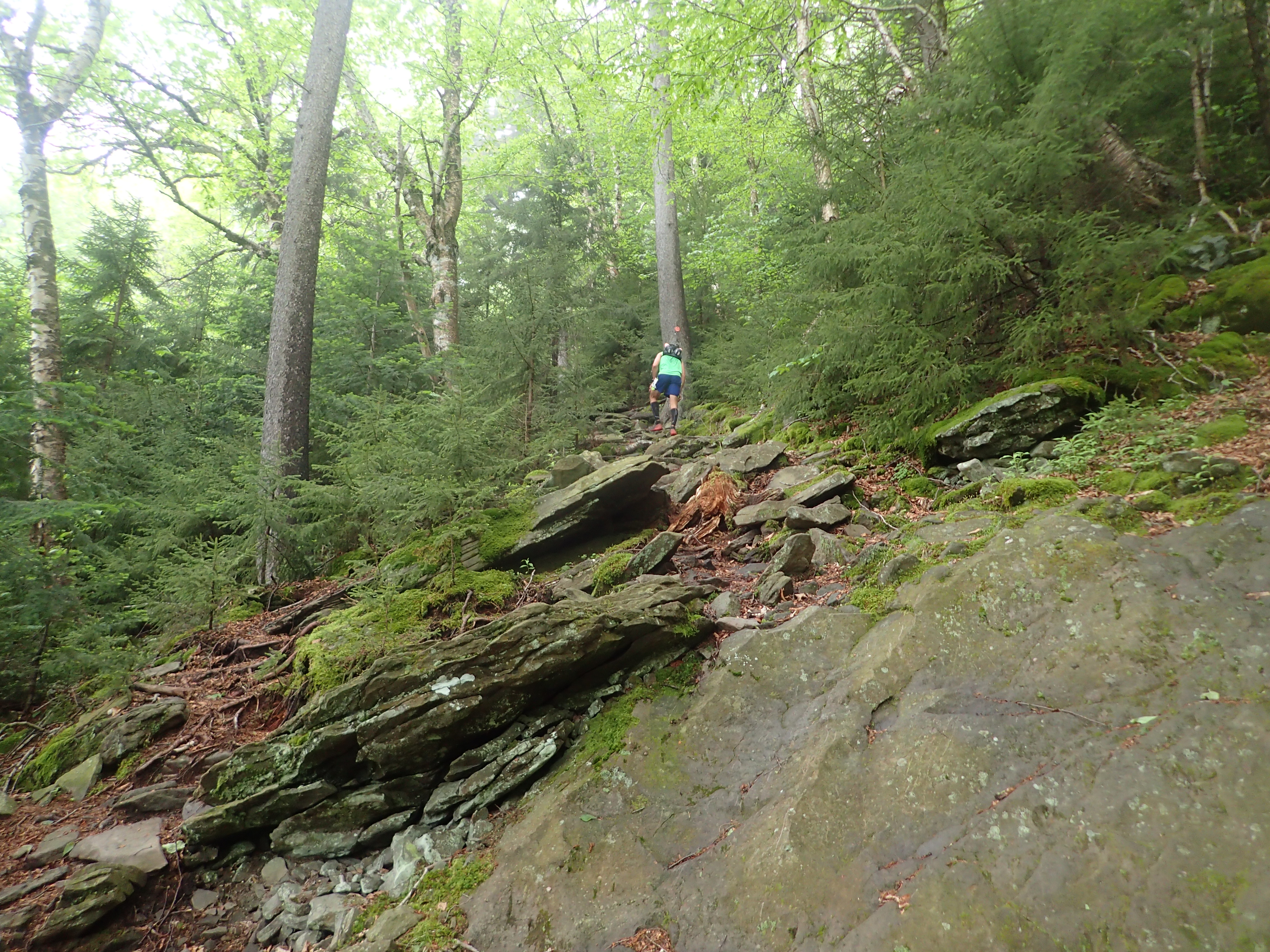
View of the trail headed up to Plateau.

The fog and humidity rolled in extra heavy as I got higher in elevation.

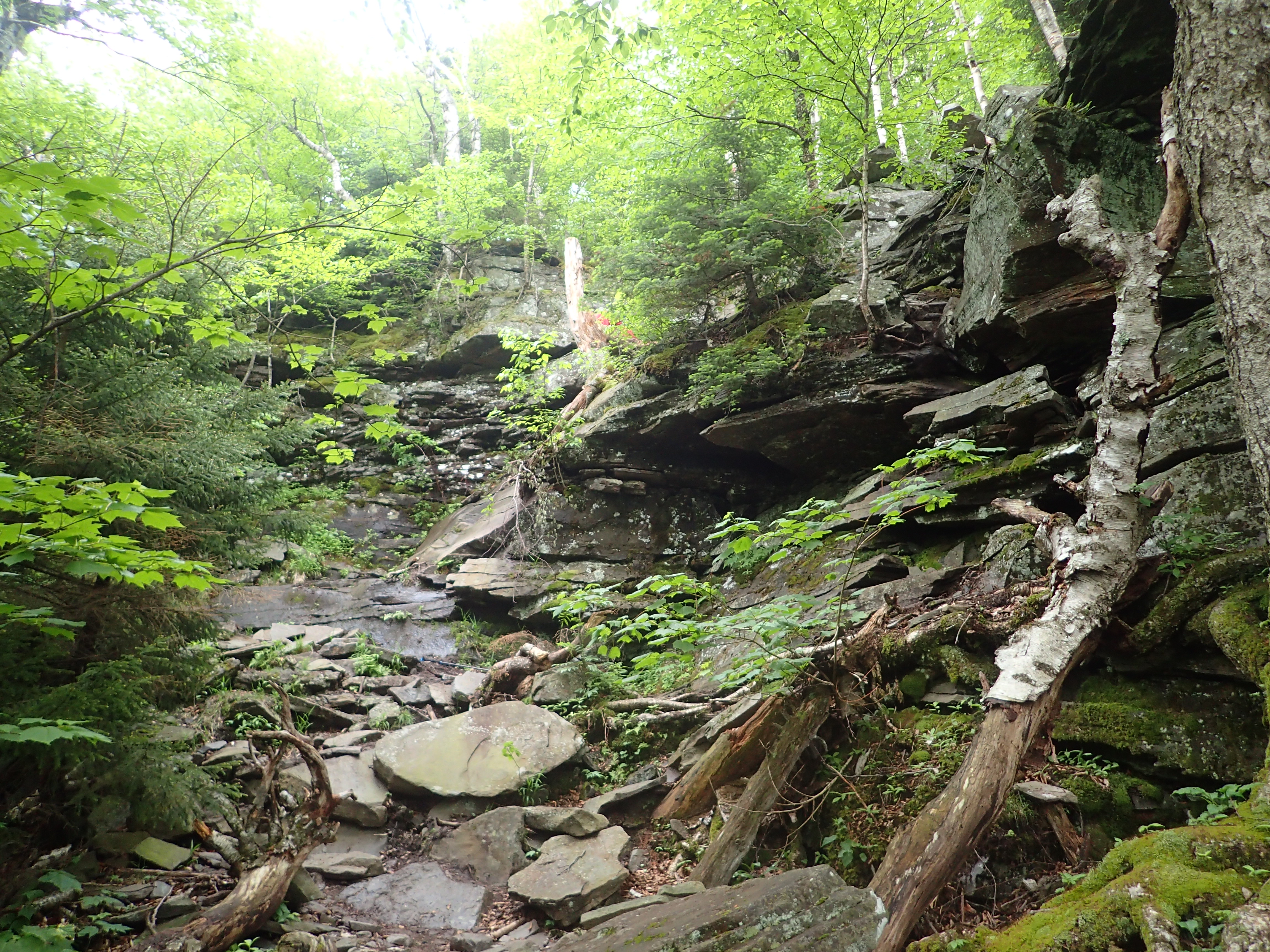
This is one of the more sustained rock sections on the way up to Plateau. Unfortunately I didn’t realize my camera lens was foggy before I took the photo.
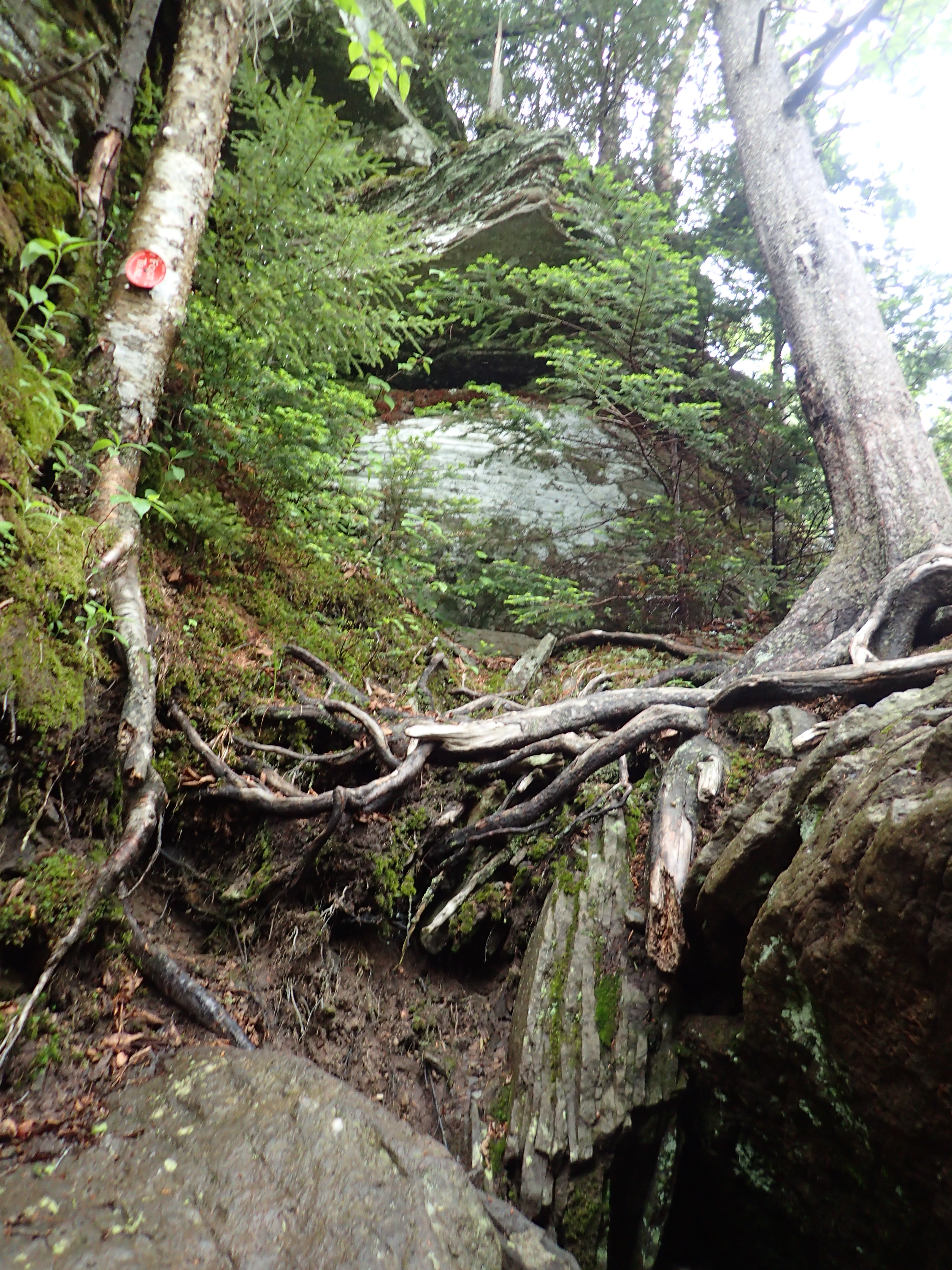
More views of the “trail” as you ascend.
All in all the ascent didn’t seem like it took a huge amount of time but I could definitely feel it by the time I got to the top. As you approach the top you will see a few large boulders and a clearing in the trees off to your left. At this point the steep part is done and it is only a short jaunt over to the true summit, which is easy to miss, and uneventful.

Another view I’m sure is awesome! This spot marks the end of the steep climbing.
View of the gradual trail once you pass the lookout.

I’m pretty sure this used to be a cairn marking the true summit. It was just to the left of the trail.
At first I wasn’t sure I reached the summit but I checked my altimeter and the elevation was pretty much spot on. That coupled with the cairn remains I saw on the side of the trail I was pretty certain I hit the summit. After reaching the high point on Plateau I turned around and headed right back down the way I had come. The descent was steep but generally uneventful. Personally I like steep descents and normally don’t have too much trouble with them. None of the obstacles along the way that were particularly hard to navigate either up or down.
After getting back down to the junction I stayed on the Devils Path and started making the 1,200 ft ascent up to the summit of Sugarloaf. This ascent was very similar to the one heading up to Plateau and also covered about 1 mile. Although this trail had a few more unique rock features which added to the fun and interesting factor of the hike.
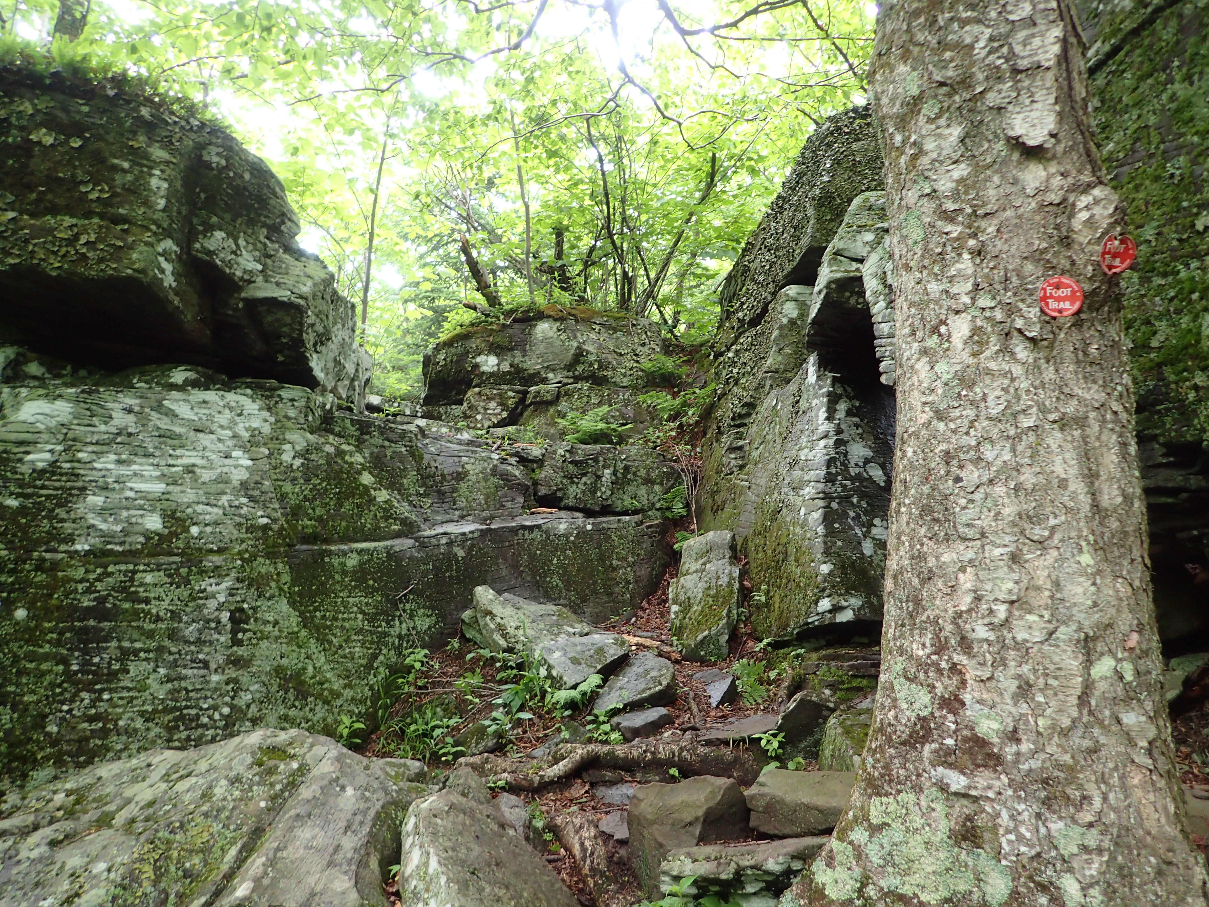
Start of the ascent up to Sugarloaf on the Devils Path.
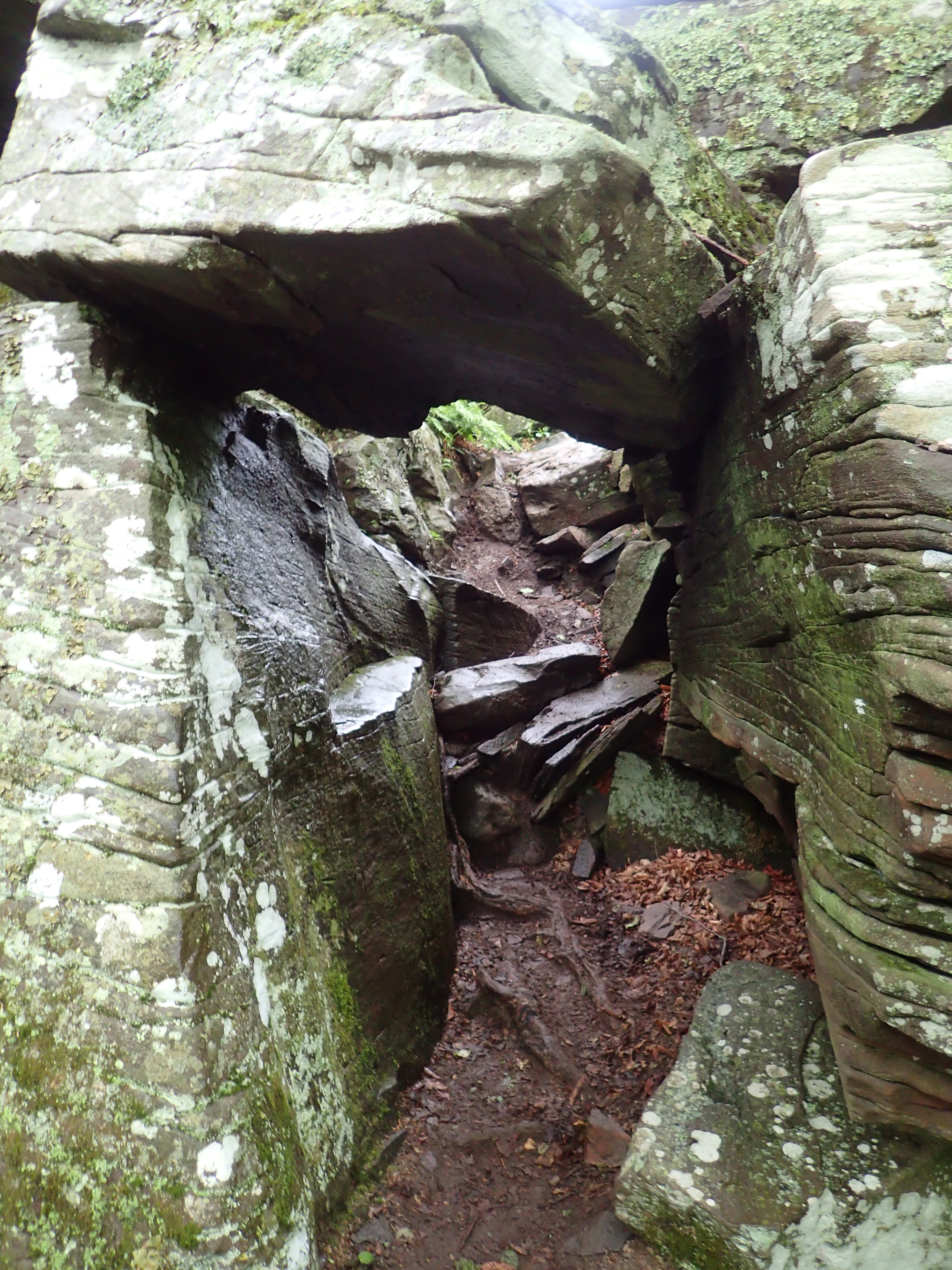
View of a small rock tunnel on the trail.
Another view of the trail on the way up.

One of the many obstacles along the ascent.
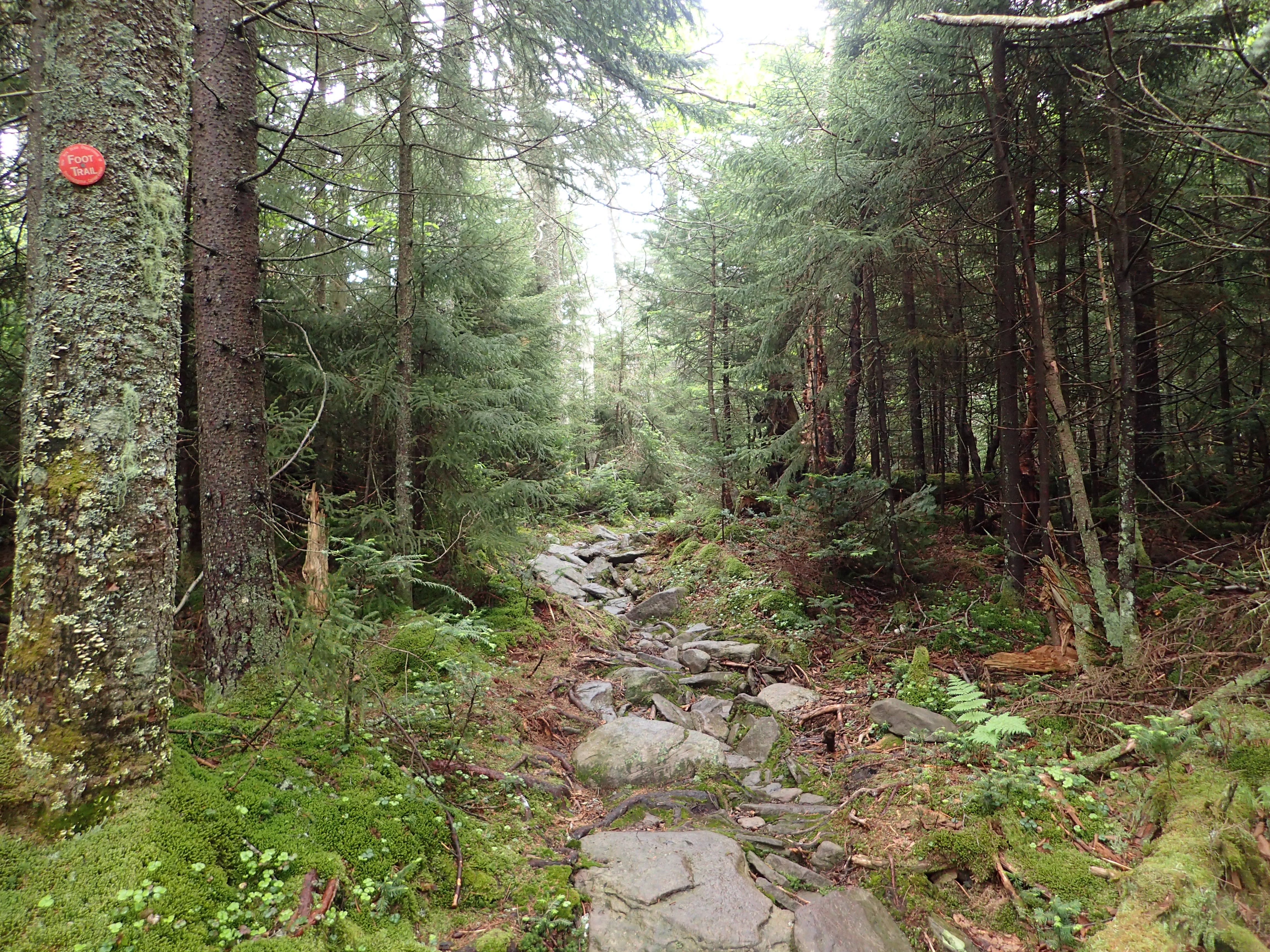
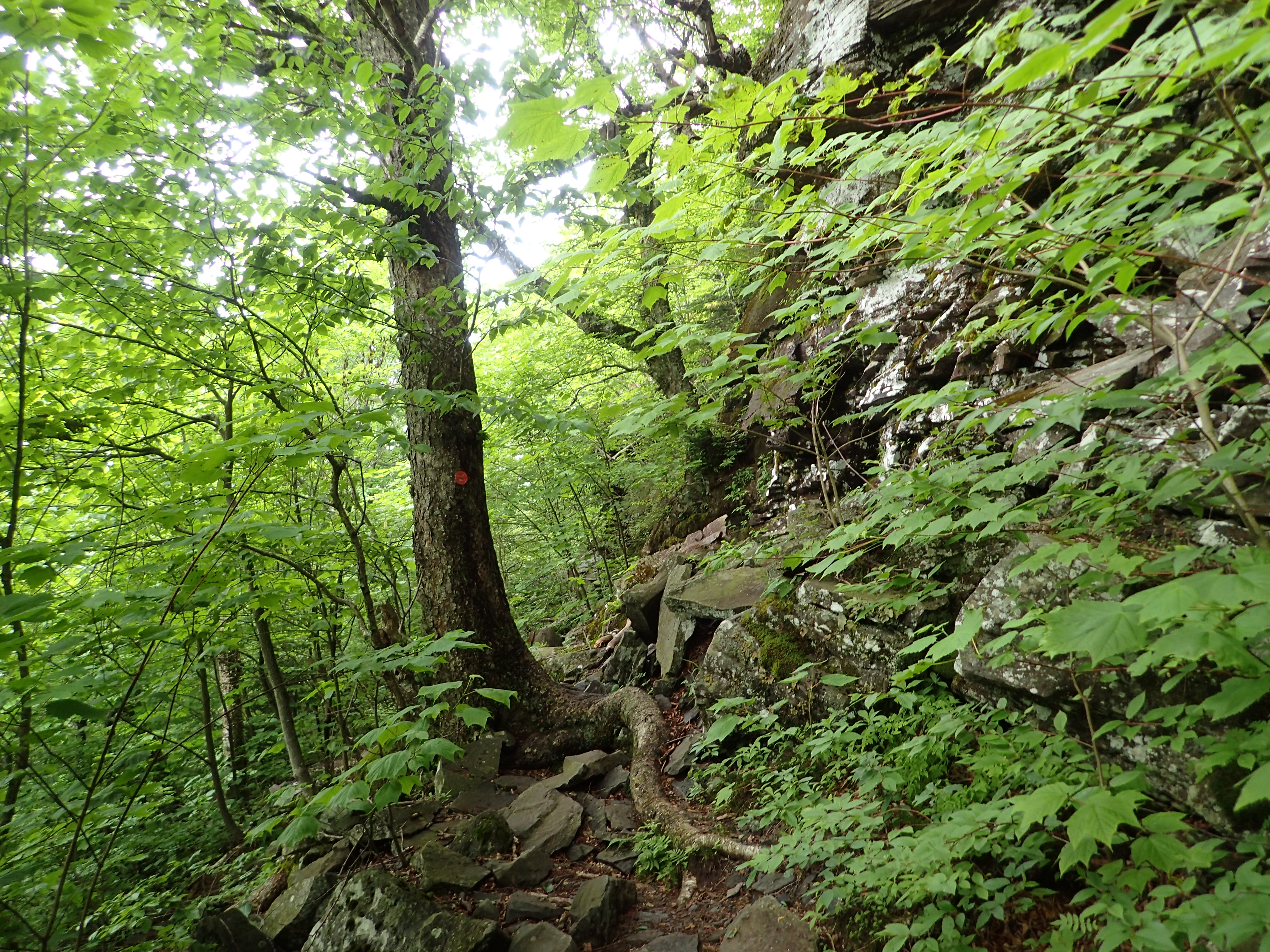
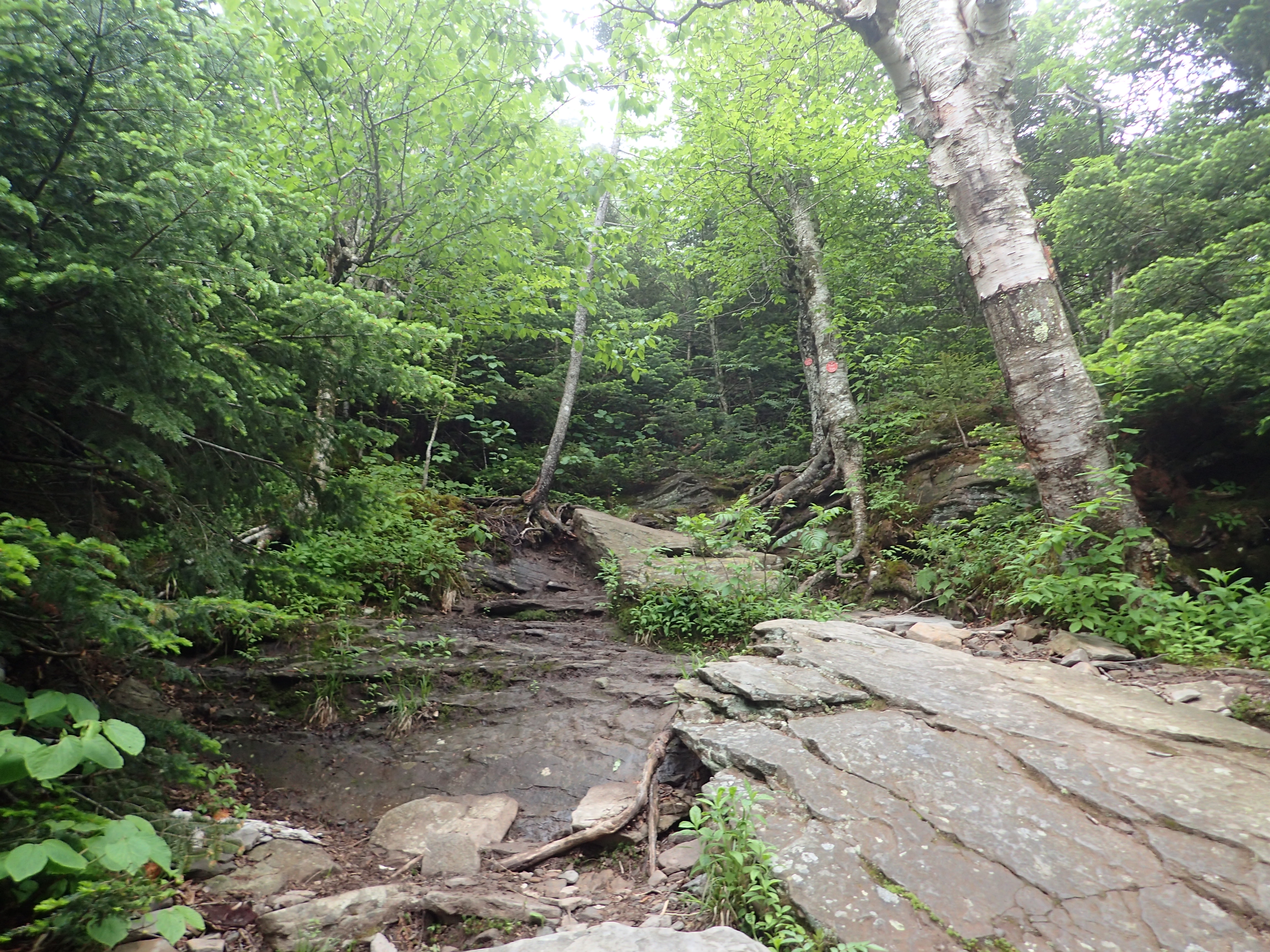
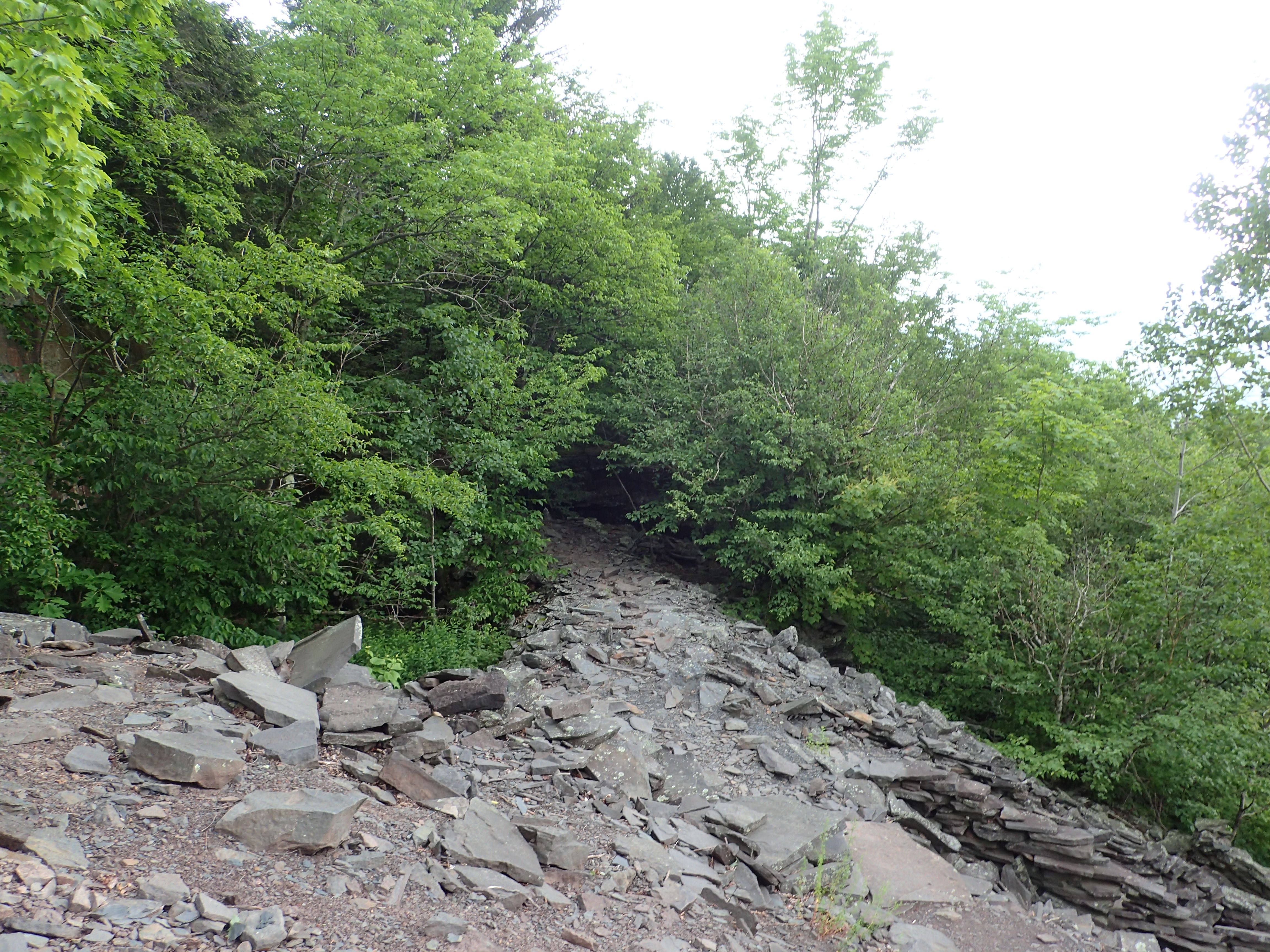
Before too long I passed the last steep rocky section before reaching the the crest of the ridge and making my way towards flatter terrain along the top of the ridge.

One of the last rocky sections before getting on top of the ridge.
Once on top of the ridge there were a few plank bridges across the boggiest sections of trail but it was otherwise pretty dull.
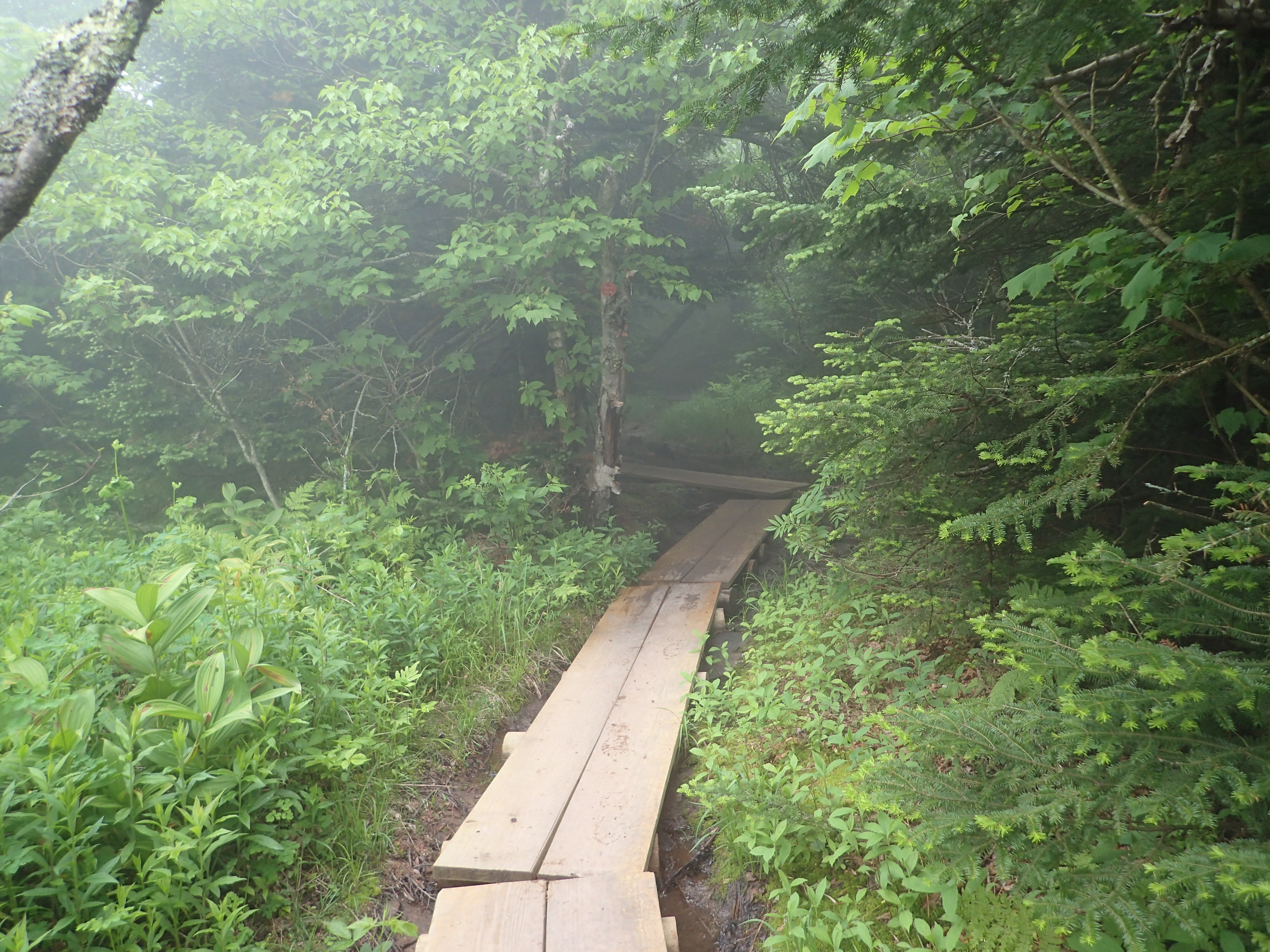
View of the blank bridges on the Sugarloaf ridge.
As was par for the course on the day, the true summit of Sugarloaf is also underwhelming and easy to miss. It was just past the short junction I passed on my way across the ridge.

View of the junction near the summit of Sugarloaf.
I am honestly not entirely sure where the exact summit was and I am fairly sure I breezed by it without noticing. Either way, I knew the ascents and descents were going to be the highlight of the days hike due to the weather and lack of views.

View of the trail along the Sugarloaf ridge.
After a short job across the ridge I started to descend down into the col between Sugarloaf and Twin Mountains. The descent on this side of the mountain was fairly easier and less steep than the col between Sugarloaf and Plateau.

View of the trail descending Sugarloaf towards Twin Mountain.

What may or may not be a great view?

View of the trail as I approached the junction with Twin Mountain.
After a pretty quick descent I reached the base of the col between Sugarloaf and Twin. From here it was just another 1.4 miles round trip to the summit of Twin and back down to the junction.

Junction sign in the col between Sugarloaf and Twin.
Although the ascent to Twin from here was less miles than the previous ascent to Sugarloaf and Plateau, it still felt equally challenging. Although the trail was fairly similar, there were a few parts along the way which were slightly harder than the other sections.

Start of the trail up Twin Mountain.

Perhaps the rockiest scramble heading up Twin over talus blocks. The rock was grippy and easy to traverse.

Another magnificent view!
This is perhaps the hardest section along the way. The rock slab at the end of the gully is fairly slick and may be sketchy depending on conditions. Luckily to the right is a small notched gully which offers a safe way up and down this obstacle. The hand holds and footing are good and make a natural ladder up the short cliff.

Looking down the notch from the top.
View of the trail as it flattened out near the summit.
Before too long I reached an overlook that I’m sure normally offers commanding views of the surrounding area. Unfortunately due to weather I wasn’t able to see a thing. The true summit of Twin Mountain was just a few feet up the trail from this overlook. Like the rest of the actual summits on the day, it was uneventful.

View from an overlook only a stones throw from the true summit.

View of the trail from the overlook.
After taking a minute to enjoy the breeze at the overlook I turned back and headed down to the col the way I came. The descent down Twin took a little longer due to some of the obstacles that had to be navigated but it was also pretty uneventful and went by quickly. Before too long I was back down at the junction and hung a right down the blue Pecoy Notch trail towards the Roaring Kill Trailhead.

View of the sign marking the junction.
The descent trail is much like the initial ascent trail but it also has a couple of highlights that are pretty cool all on their own. The first one was a small bog right along the trail, it made me feel like I was actually in the Adirondacks!
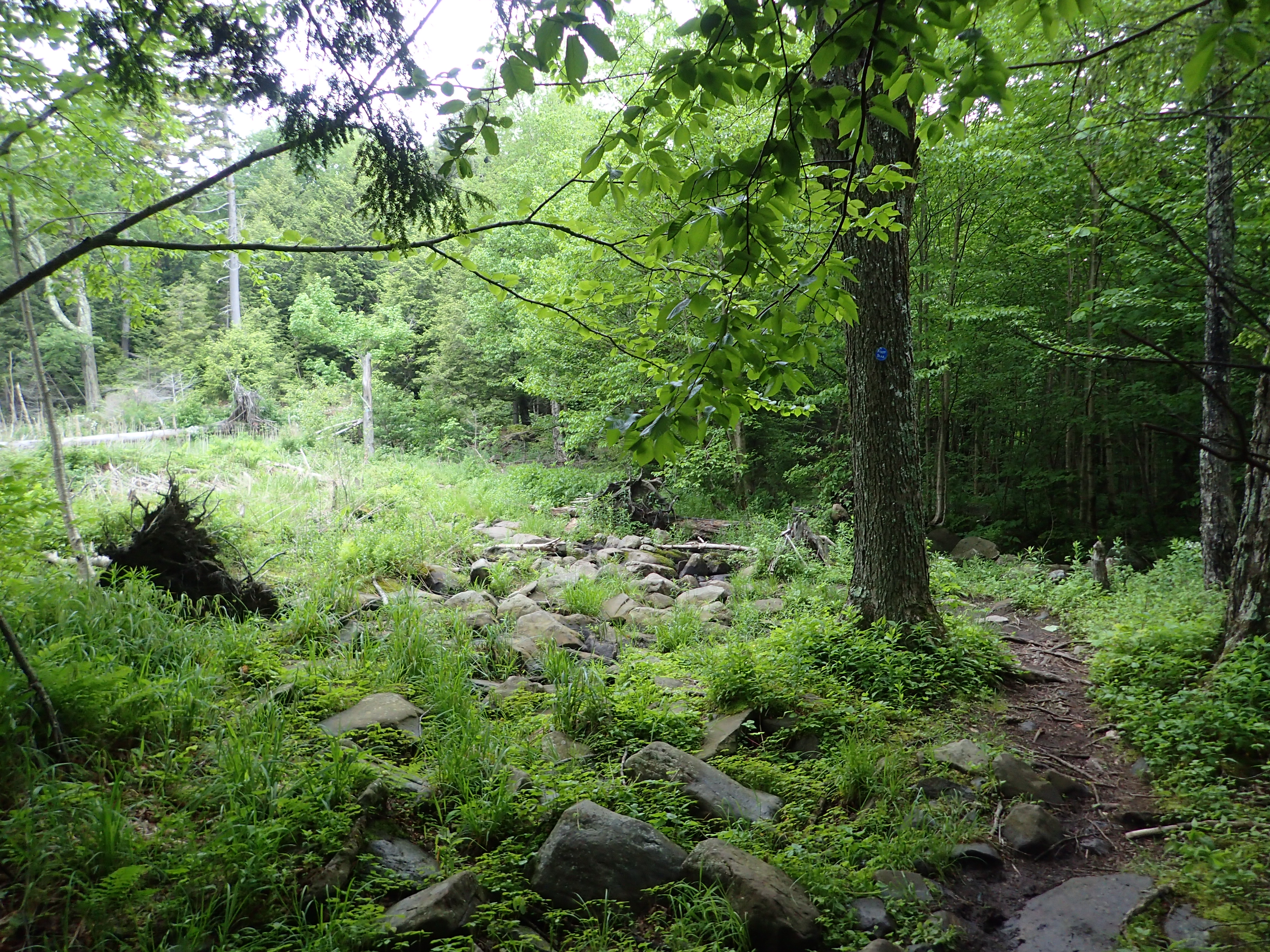
View of the trail along the side of the bog.
View of the bog.
After passing the bog you hike along a flowing brook before eventually crossing over and heading towards the last major highlight of the hike.
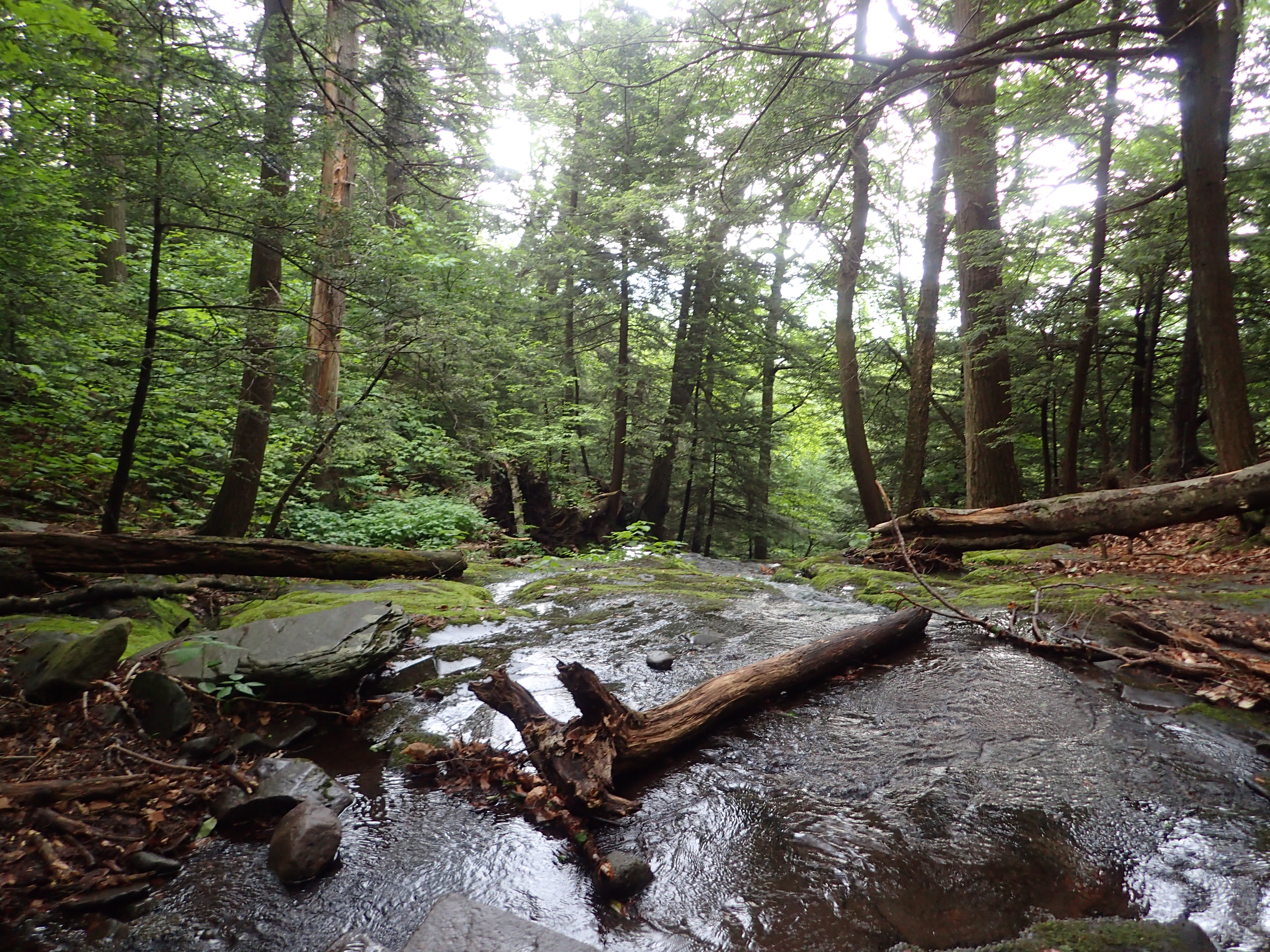
Looking down the brook from the crossing.
Looking up the brook from the crossing.

View of the brook crossing.
After passing the brook you will notice that you are walking between large piles of blue stone on either side of the trail.

View of the trail as you enter Dibbles Quarry.
The piles of blue stone are attributed to Dibbles Quarry which operated at this location until sometime in the late 19th century. The piles of stone have since been transformed by unknown travelers and artists who have constructed pretty elaborate structures, particularly thrones, out of the stone. Considering its location in the middle of no where it makes for a really interesting vibe. It was fun to explore this spot by myself and I really felt like I was somewhere else entirely. I will have to do some research on this spot and try and find out more about it!

View of one of the larger structures.

I liked to think of it as the “throne room”

Especially considering this view!
The trail leads back into the woods just passed the structures. It is pretty easy to spot.
After taking in Dibbles Quarry I headed back down the trail towards the trailhead. The final descent was pretty easy and boring as the easy to follow trail wound its way down the mountainside. I got back to the trailhead and signed out almost precisely 6 hours after I started. All in all the trip was a lot of fun despite the heat and humidity. I would of loved to have better views but I know I will be back again. I am beginning to like the Catskills more and more and I look forward to exploring more of its hidden gems like Dibbles Quarry. If your looking for a fun and strenuous hike, I think this loop would definitely fit the bill!
Categories: Catskills, New York, Trip Reports


1 Comment »