TRIP REPORT: Lemon Squeezer and Bald Rocks Loop via Lake Skannatati – Harriman State Park, NY 10-7-17
Hiking stats at a glance:
Total Mileage = ~8.3 miles
Elevation Gain = ~1,722 feet
Trailhead = Lake Skannatati
Total Time = 4.5 hours

After being away from town and super busy we finally made it back to one of my favorite local spots, Harriman State Park. We originally planned to go to the Catskills and hike a couple of 3,500 ft peaks but the traffic was crazy we just decided to stay close to home. It turned out to be a great decision. Although there are still a few places in the park I have never seen, I still tend to gravitate to the Lake Skannatati parking lot/trailhead. Which is where we started our hike on this particular day. I have done this general hike before but never in this particular loop so even though the day was similar it was still different and it was also my wife’s first time hiking through the Lemon Squeezer! As is usually the case before we could even get start the first lemon squeezer had to be completed which entails parking my Tacoma in the almost always packed parking lot at Lake Skannatati.
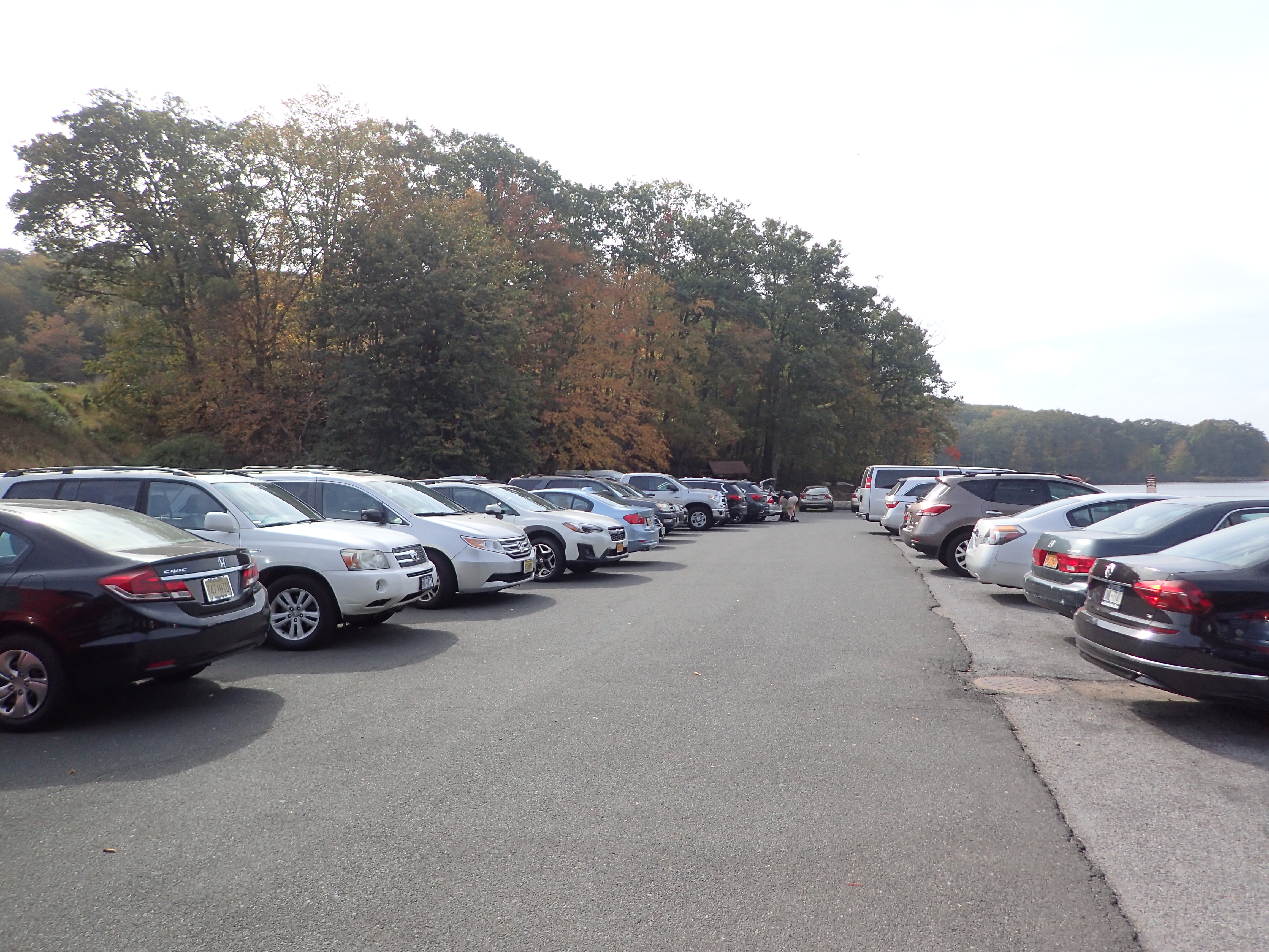
View of the almost always packed parking lot
After successfully parking and gathering our things we head off to the trailhead and began our hike. The trailhead is directly adjacent to the parking lot so it is easy to find. Although I would of thought after all this time they would have replaced the signage.
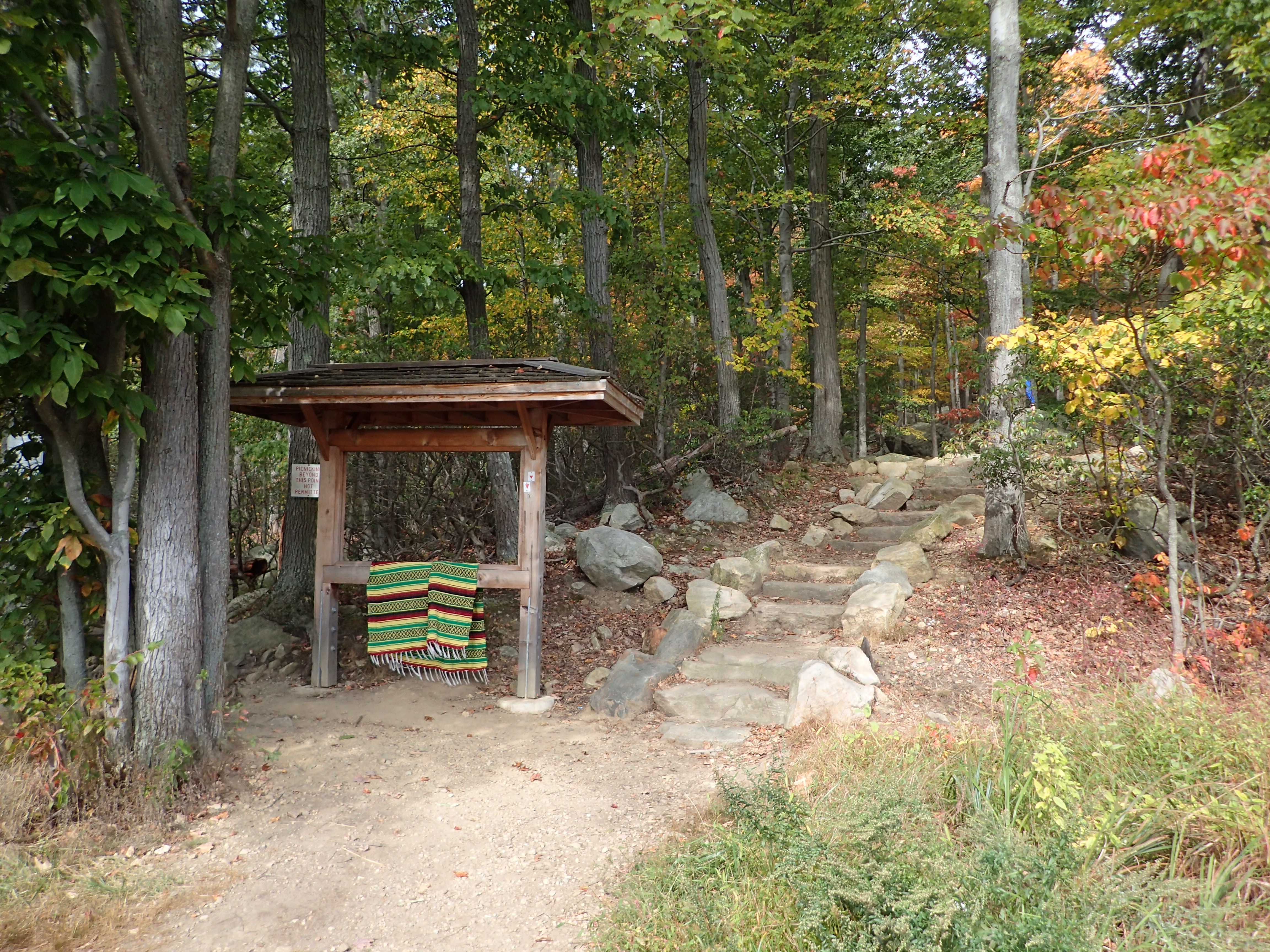
View of the trailhead
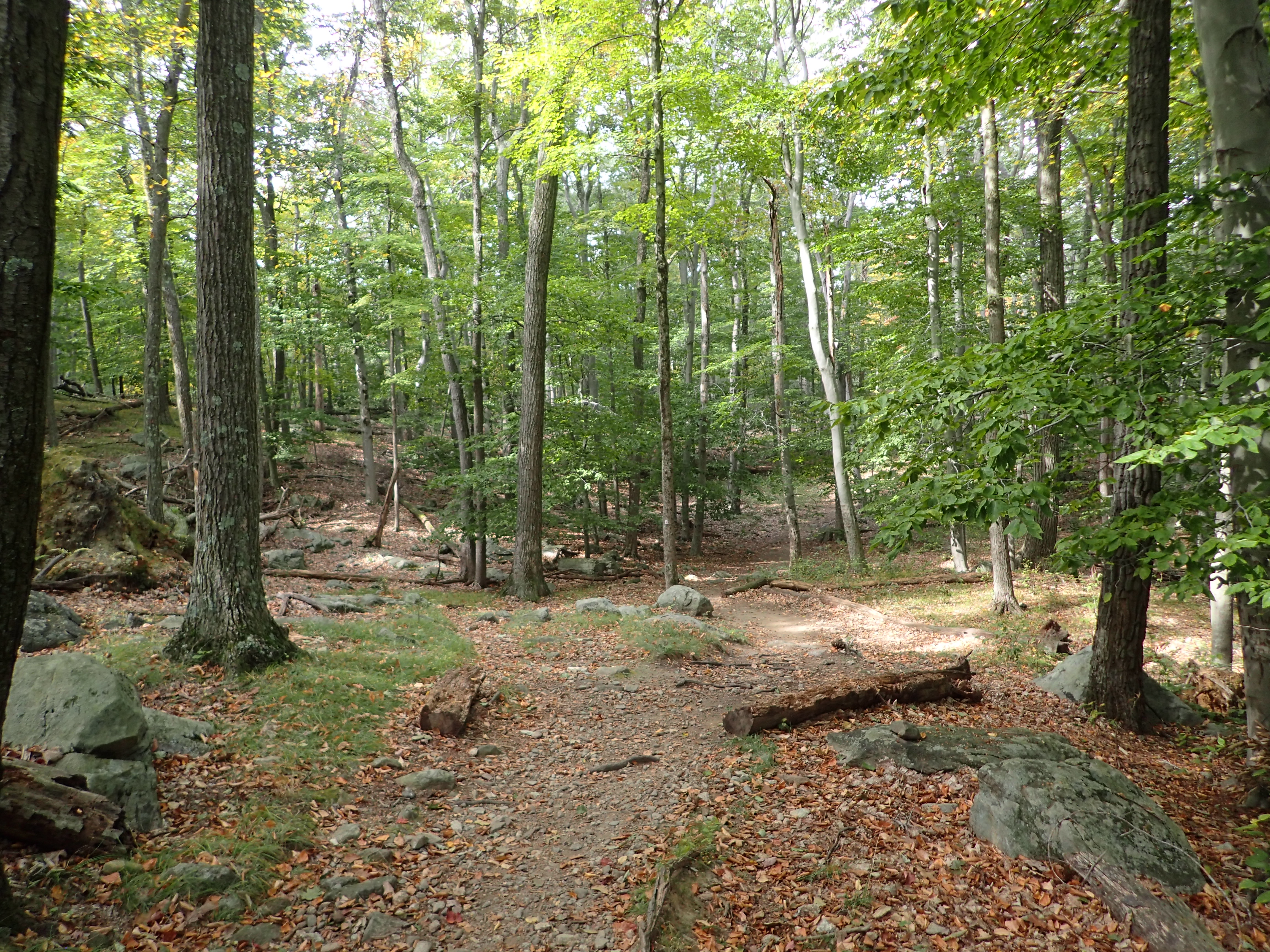
Right at the start of the trail we decided to go right on the Red Dot blazed which takes you mostly straight up Pine Swamp Mountain before curving around the back and heading straight towards the Lemon Squeezer.

View of the start of the trail.
Although its a little steep right out of the gate the trail is otherwise pretty pleasant. It isn’t too rocky and on this particular day the falling leaves still hadn’t taken over the trail but I think navigation wouldn’t be too bad even if they did. This portion of the trail sees a lot of traffic so we did encounter a few larger groups at the start but the further away you get from the trailhead the crowds shrink considerably.
Another view along the trail.
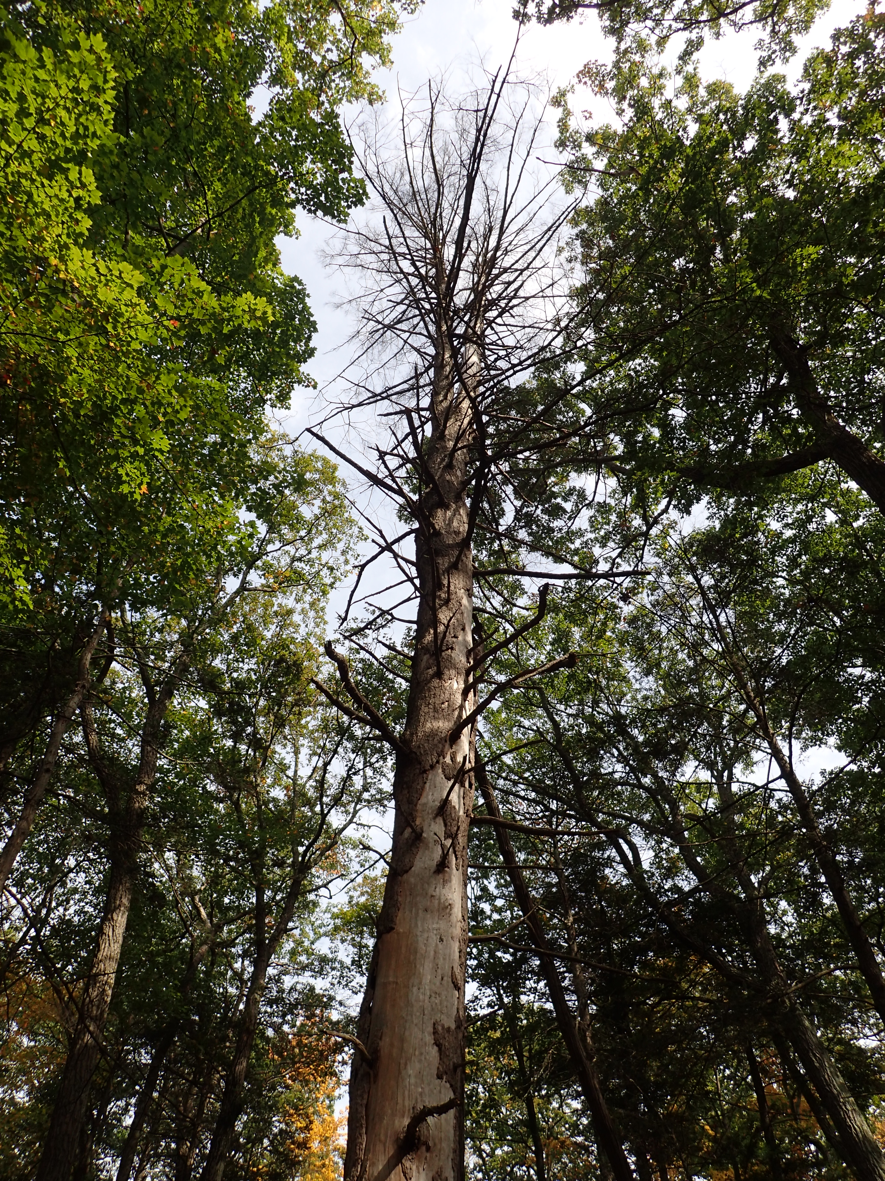
Another view along the trail.
The trail is generally pretty similar along the way and there are no real tricky spots to navigate. It is also well marked and worn so staying on trail is also not an issue. There are also no trail junctions for a good amount of time until the trail passes the remains of one of many old mines that are scattered throughout the park.
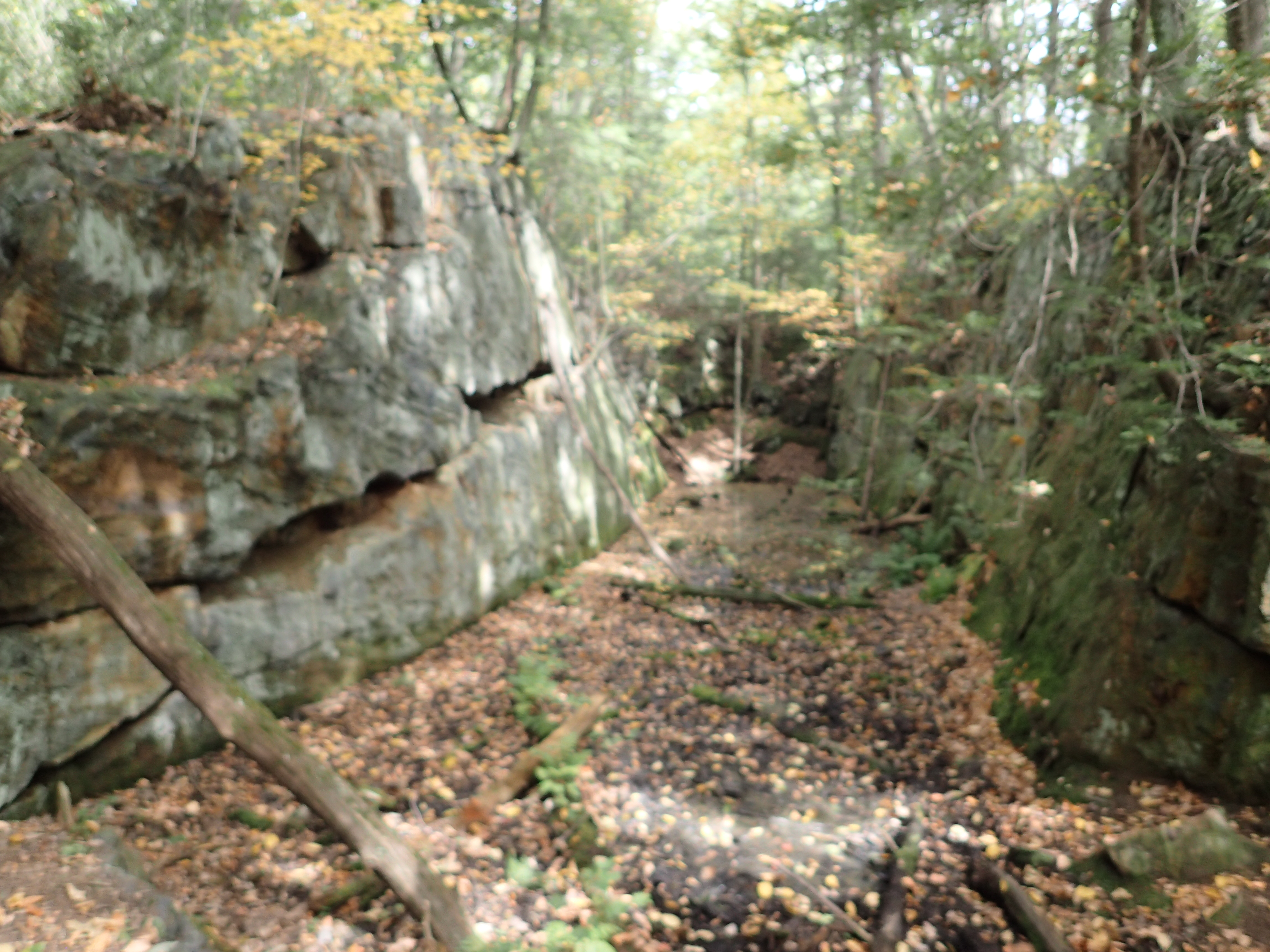
View of the water filled old mine on the side of the trail.
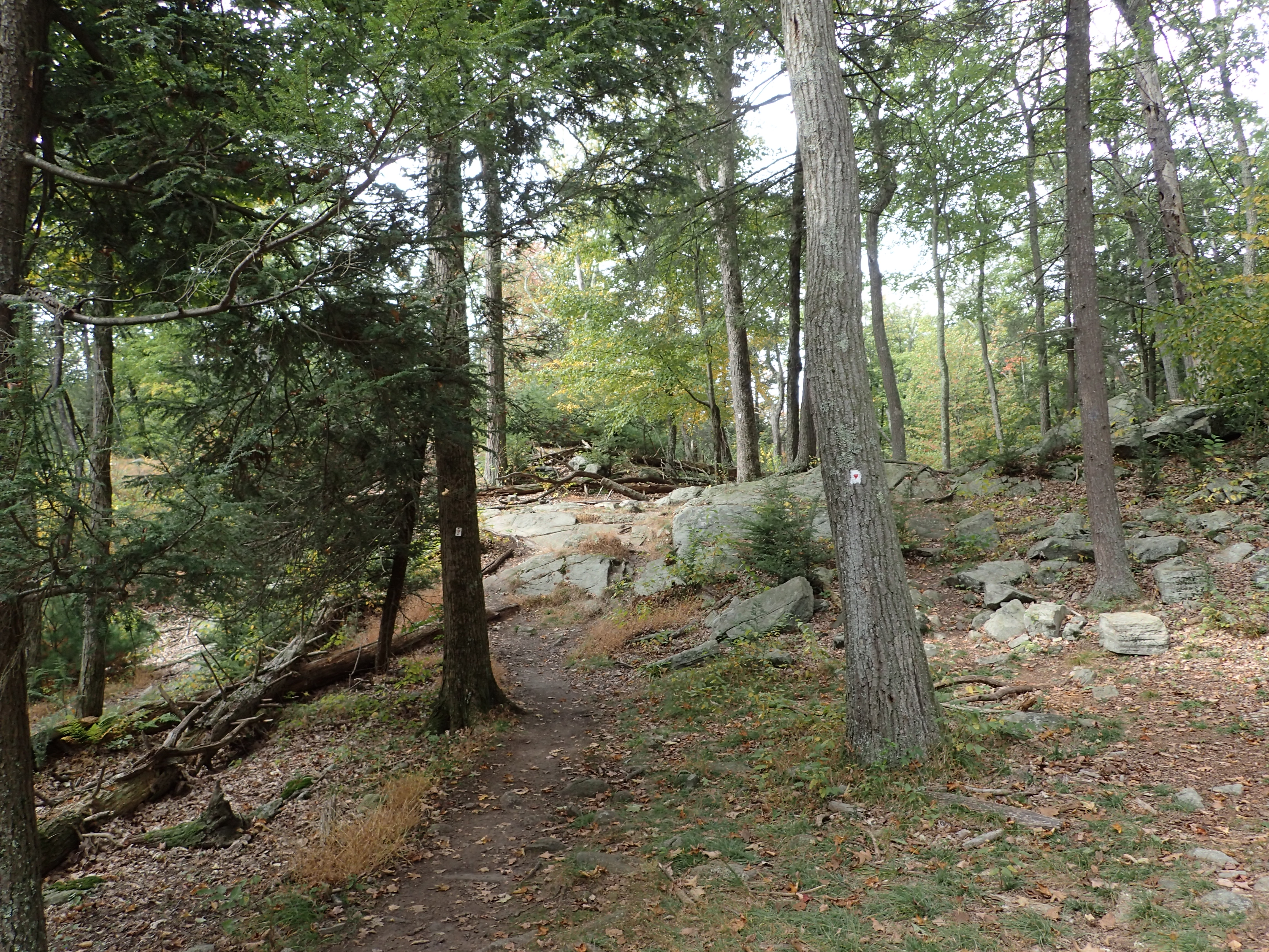
After passing the mine we passed the trail junction with the Yellow blazed trail on our left. We did not turn down the junction and instead continued straight ahead on the Red Dot blazed trail. From here the trail continues climbing gently upwards as the scenery changes as well.

View of the trail after the junction.
From here the trail is also pretty uneventful as it winds its way along. Before too long we reached the next intersection at what is called “Times Square” which is a small open area where five different trails intersect. From here we continued straight ahead on the same Red Dot blazed trail we had been on the entire hike.
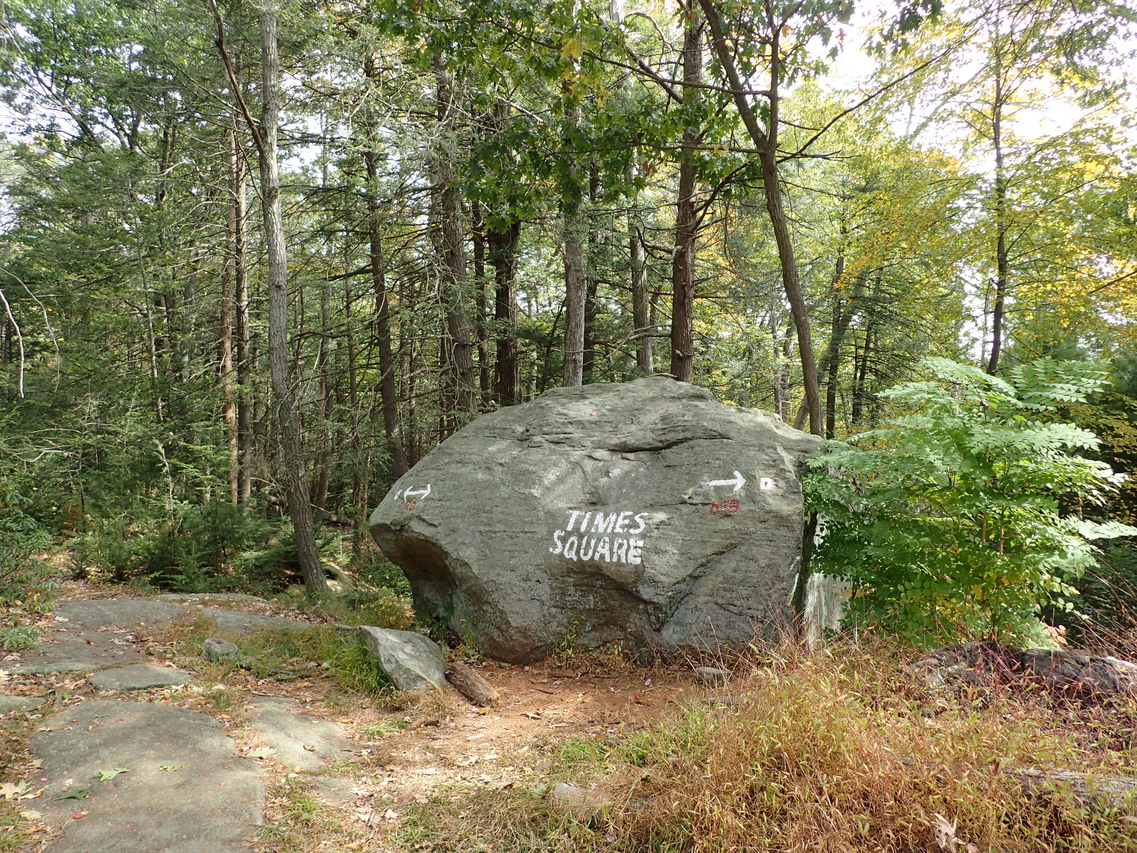
Boulder marking Times Square

The trail/direction we continued to hike through Times Square.
From here the trail begins to get a little more interesting with small rock scrambles and other interesting terrain.

View along the trail.
After a short ways on this section of trail we reach another junction with the Blue Blazed trail on our left. We passed this junction and continue hiking straight ahead towards the Lemon Squeezer.

View of the junction where we continued going straight.
After passing the junction another short section of trail brought us finally to the base of the Lemon Squeezer section of the Appalachian Trail.

View of the trail.
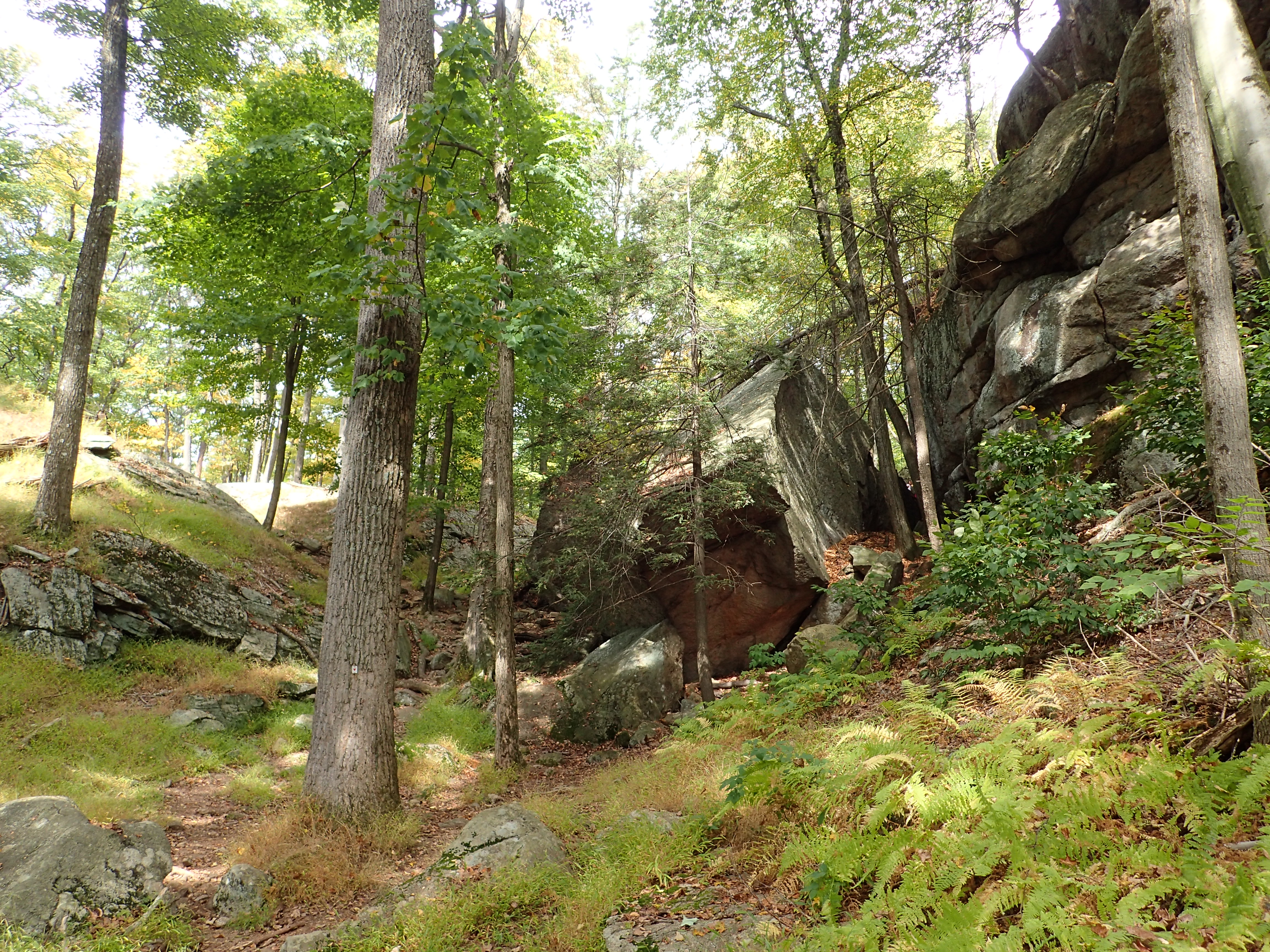
View of the base of the Lemon Squeezer
This particular spot was a little busier than anywhere else we hiked on the day but luckily it wasn’t too bad. The Lemon Squeezer is a short section of trail but it is a pretty cool formation.

The start of the Lemon Squeezer (from this direction)
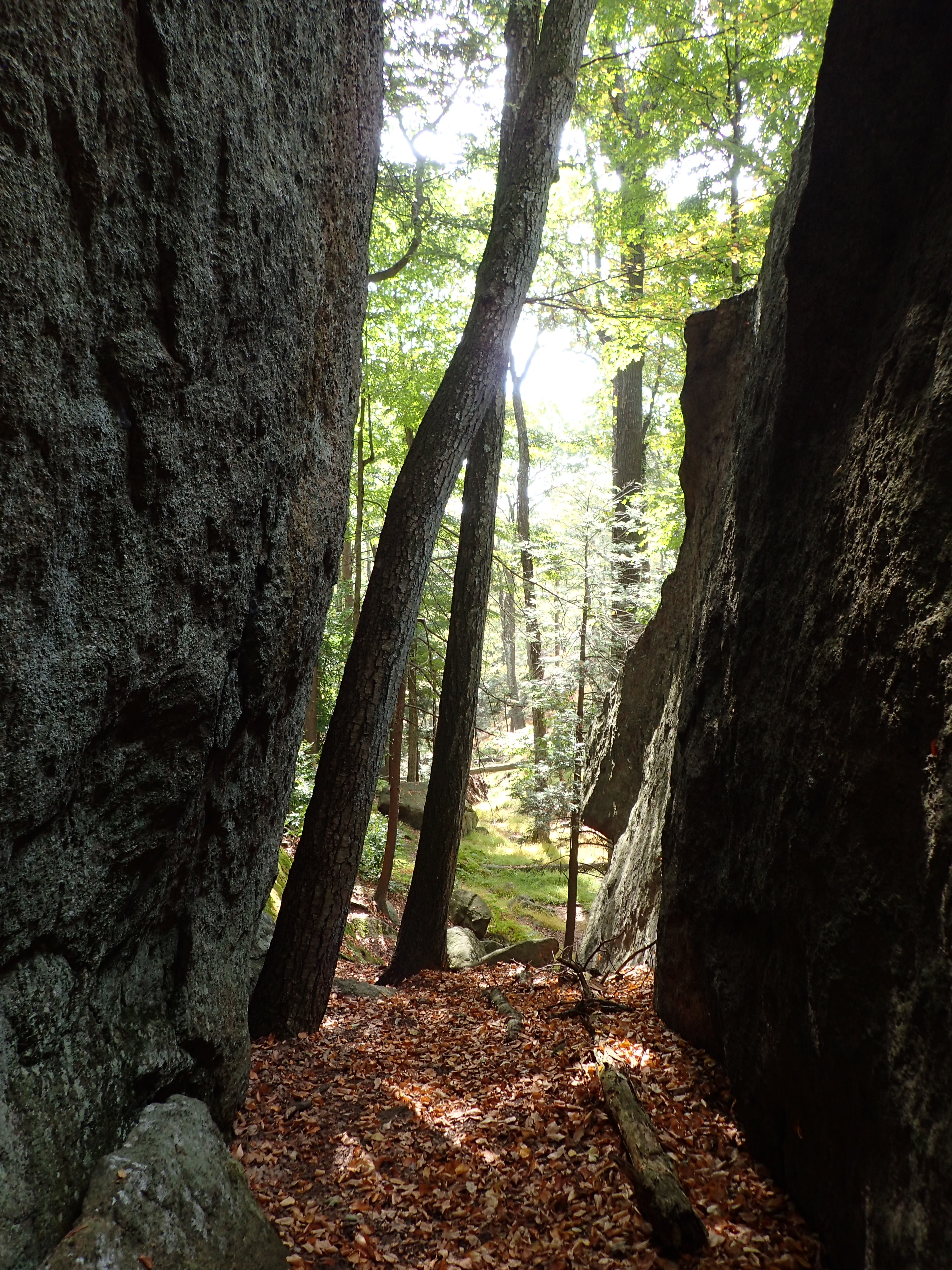
Looking back behind us.

View of the Lemon Squeezer
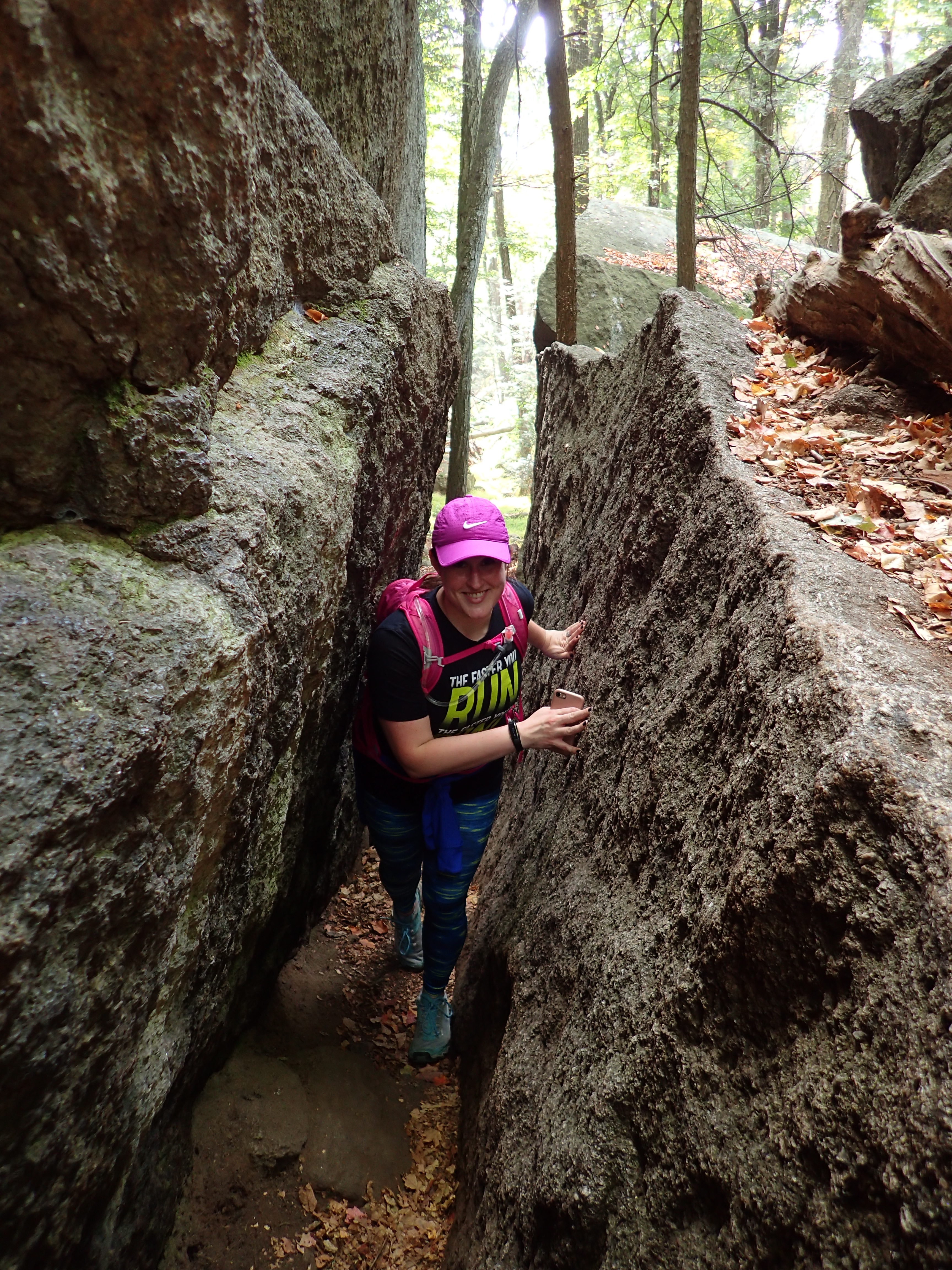
View of the Lemon Squeezer with Kelly for scale!
With day hiking gear the Lemon Squeezer is pretty quick and easy but still pretty cool. However, the reason it has become so famous is because you can imagine squeezing through this thing with a big heavy backpack as you work your way down or up the Appalachian Trail. Although you could of course always walk around it! After crossing through the squeeze, one more steep scramble brings you up to the top of Island Pond Mountain. For this scramble you have two options, you can stay to your right and go the hard way up a short scramble or go the easy way to your left.

The harder way.
The easier way.
Once we reached the top of the ridge of Island Pond Mountain we only stayed for a minute before turning back around to the start of the Lemon Squeezer.

View of the top of the ridge.
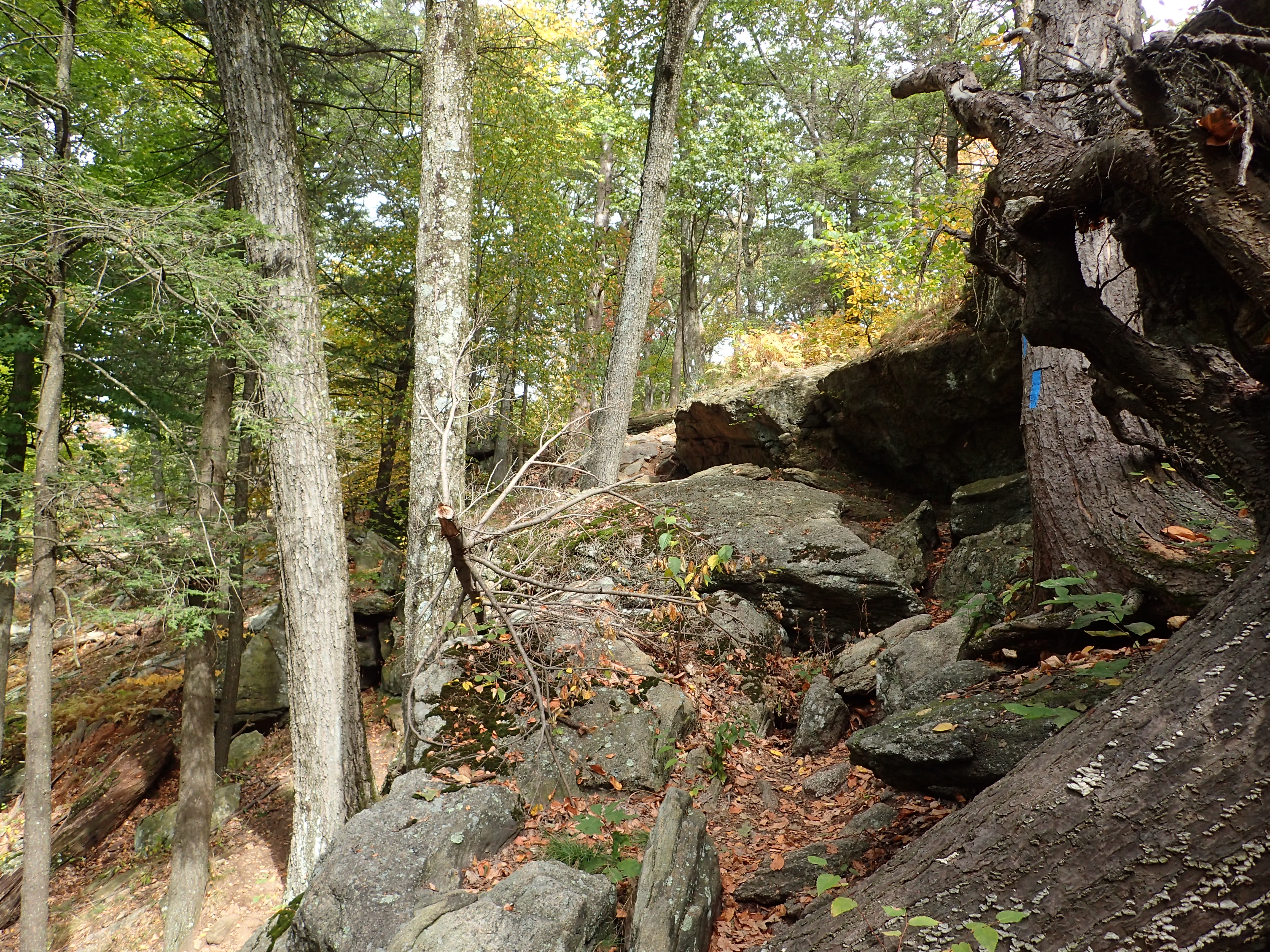
The Appalachian Trail continues over Island Pond Mountain but because we had a different loop in mind we had to back track to where we started. From there we continued down the Red Dot marked trail with the plan of connecting with the White Bar Trail (Not the AT) via an unmarked connector trail.

The continuation of the Red Dot trail.
From here the trail was very nice as it wound its way down towards Island Pond.
The colors were making it an extra beautiful day in the woods.

Looking off into the woods.

View of the trail winding down towards the pond.
Along the way we also passed a small area that looked like it had been heavily fire damaged sometime in the recent past.

View of the burned out area.
Now from here the unmarked connecting trail was on our left and not very far down the trail. However we were so engrossed in our conversation that we completely missed it and had to back track a bit (as you can see from the GPS track). It was pretty obvious once we found it but you can certainly miss it if your not paying attention. However, once we reached the White Bar Trail we hung a right and continued towards the junction with the yellow marked Dunning trail.
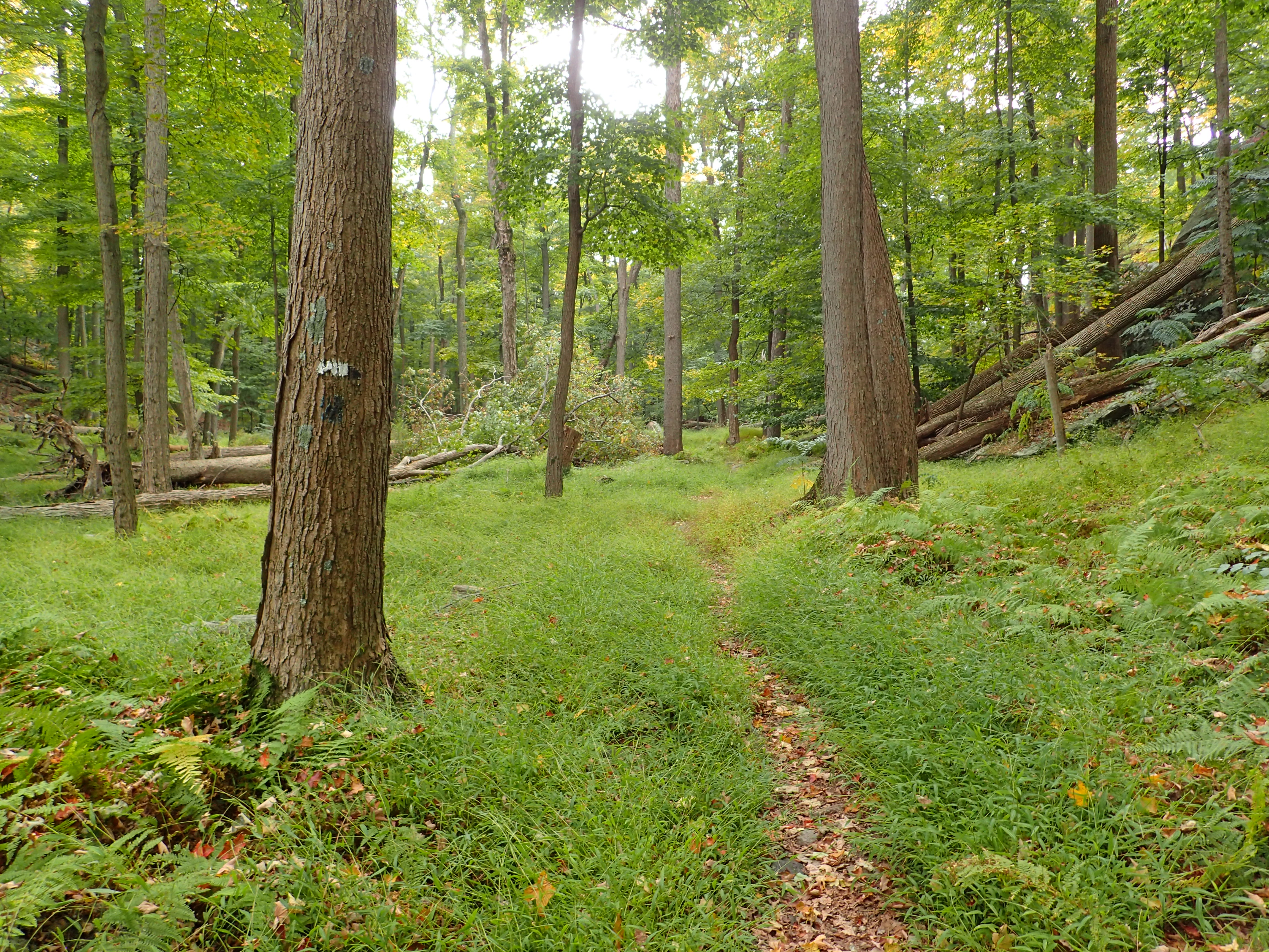
View of the White Bar Trail
The section of white trail we hiked was mostly uneventful and went by pretty quickly.

Junction with the yellow marked Dunning Trail.
Once we made it on to the yellow blazed trail the scenery got very interesting and varied. I have done many portions of this trail previously but never as one big portion. I think overall it is one of the nicer trails in the part and has a great amount of variety from end to end.

View of the yellow blazed trail.
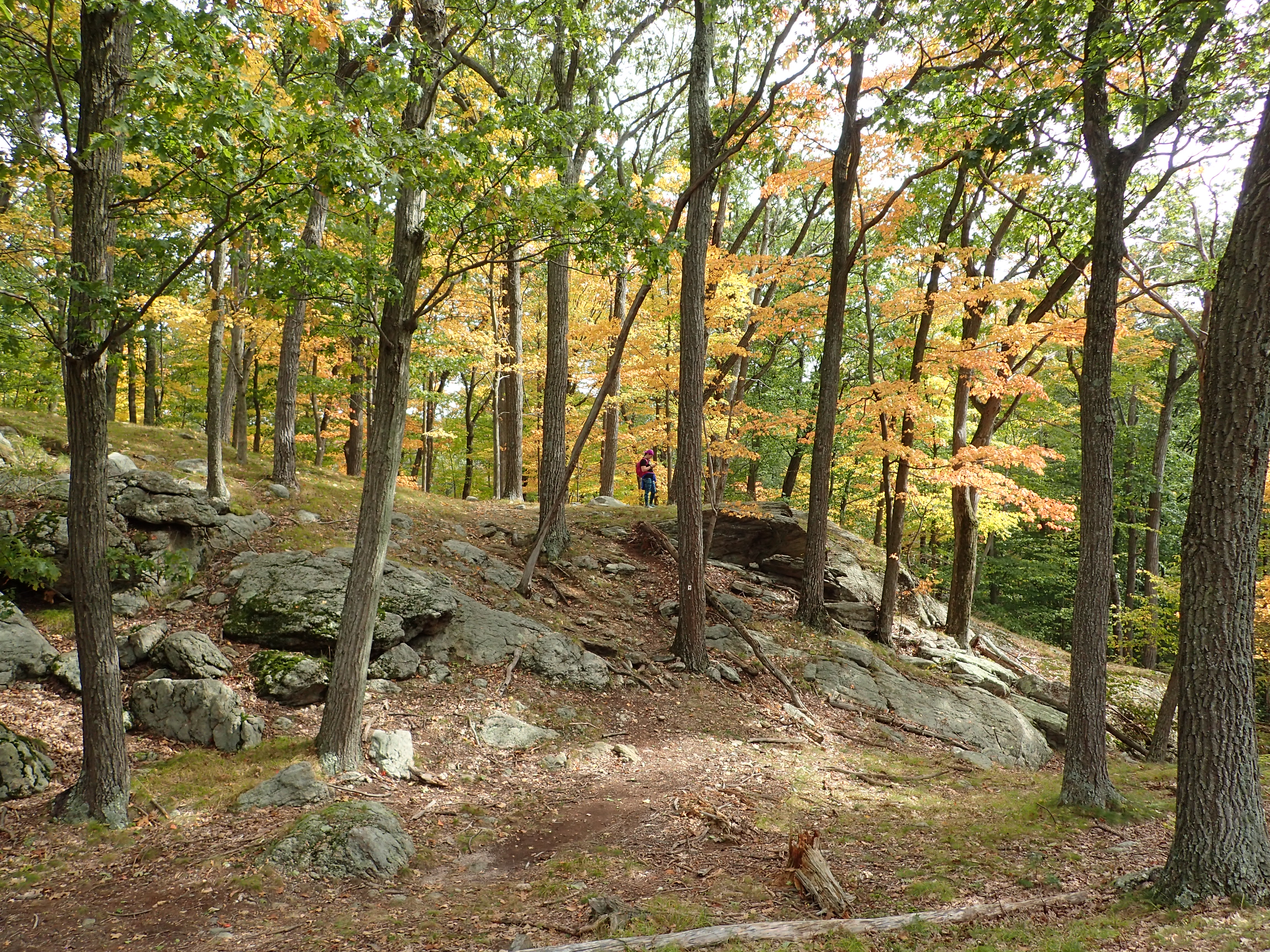
The one great thing about this section of trail is that the colors of the foliage along the trail were really beautiful and vibrant on this particular day. The colors in Harriman have never failed to impress me every autumn.

View of the vibrant foliage along the trail.
View of the trail.
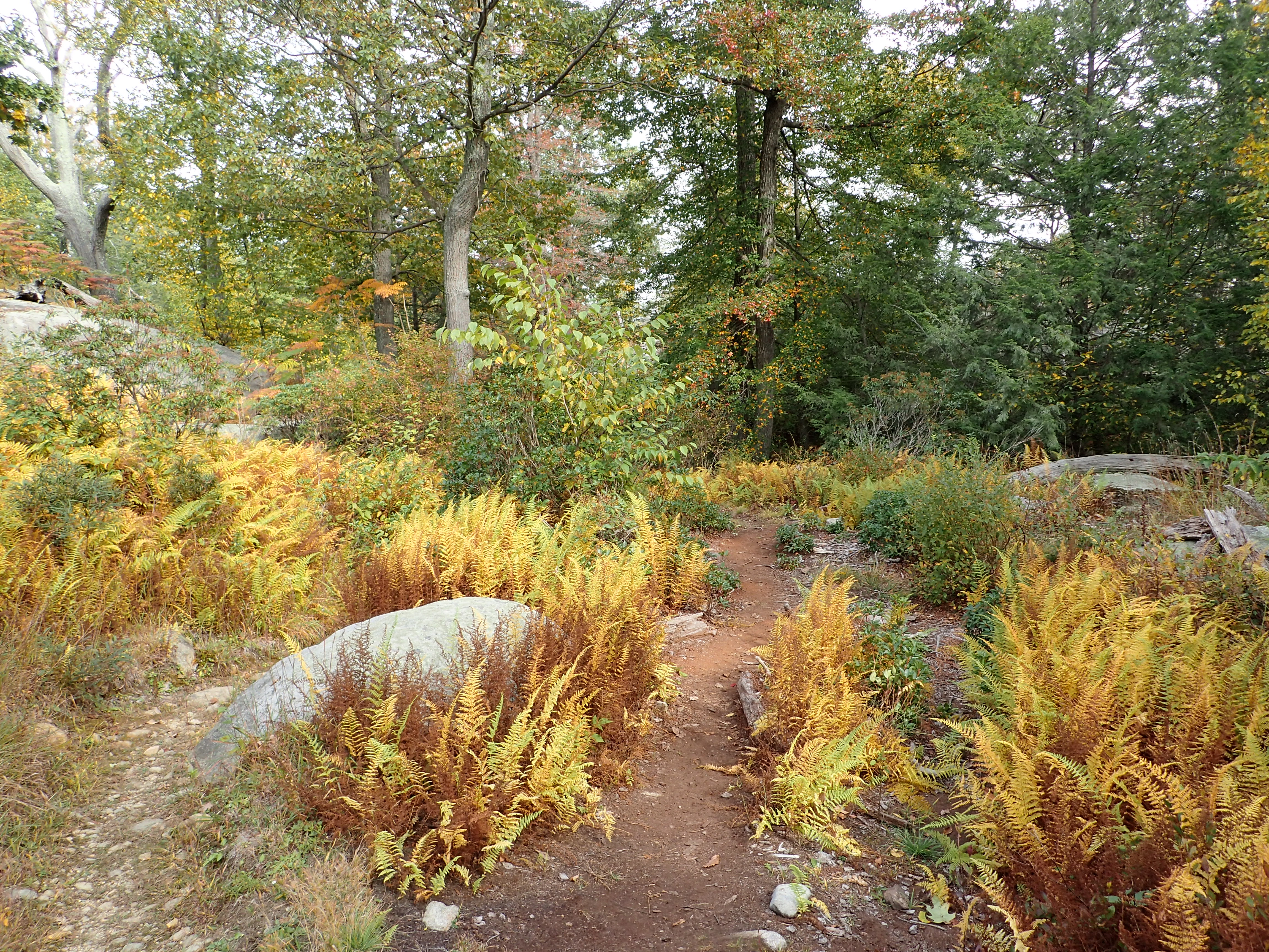
The trail continued following small ups and downs along a well worn and only slightly rocky trail. Eventually the trail crossed an area known as Bald Rocks, which is basically just the top of a hill which is mainly just exposed rock. Its a pretty cool spot considering pretty much everything else in the area is heavily vegetated.

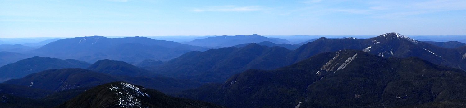
View from the top of the ridge.

Looking out over “Bald Rocks”
From here we continued along the trail as it weaved its way back towards the Long Path which would lead us back to the trailhead. The hike from here was mostly downhill and we were making good time on our way back down to the parking lot.

View of the yellow marked trail as it continued.

View off the side of the trail.

View looking off the trail at the beautiful foliage.
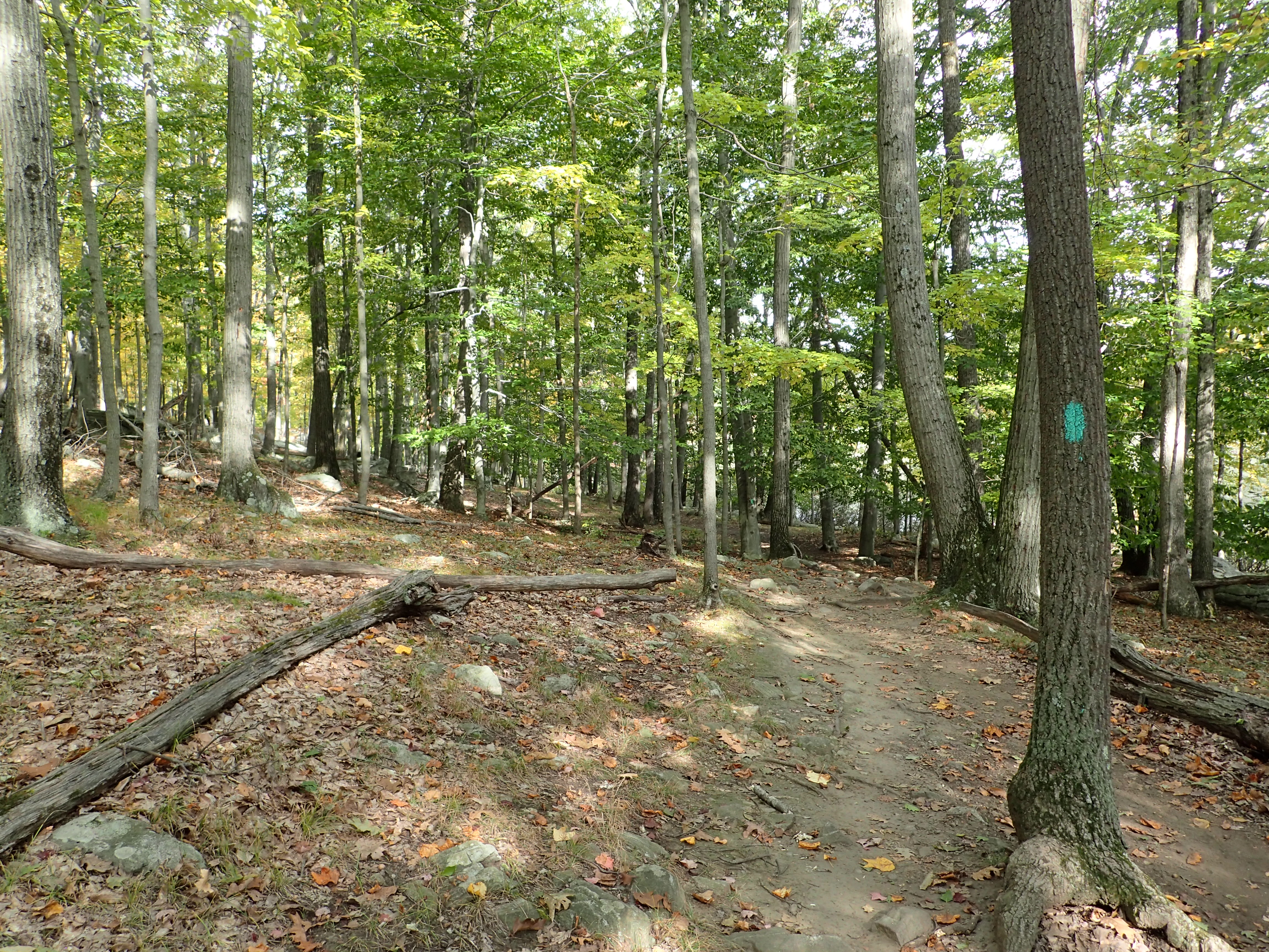
After hiking along the yellow trail for a little while we reached the final junction with the blueish green (turquoise?) marked Long Path. From here we hung a right onto the Long Path and followed the trail all the way back to the parking lot. This was just another section of easy ups and downs through the woods.

View of the Long Path
Another view along the way
Right before exiting the woods at the trailhead we were able to take in the view of the lake as the sun began to go down.

View of the Lake as we approached the parking lot.
All in all it was a great little short hike on a warm autumn day. I say it after every Harriman blog post but this place is really very nice and is also much nicer than you would anticipate because of its proximity to NYC. Now I just need to take the time to hike the other parts of Harriman State Park that I have been neglecting!
Categories: Harriman State Park, New York, Trip Reports

