TRIP REPORT: Wittenberg and Cornell Mountain – Catskills, NY 7-29-17
Hiking stats at a glance:
Total Mileage = ~9.4 miles
Elevation Gain = ~3,029 feet
Hike Highlights = Wittenberg Mountain (3,780 ft) and Cornell Mountain (3,860 ft)
Trailhead = Woodland Valley
Total Time = 3.5 hours
This past weekend I had another free Saturday so I decided to drive up and hike a couple more 3,500 ft peaks in the Catskills. At the suggestion of the internet I choose to go with Wittenberg and Cornell Mountain. Normally these peaks can be combined with Slide to make a longer day but since I had already done Slide a couple of times and was starting late in the day I skipped it this time around. I arrived at the Woodland Valley parking lot at around 12:30pm and snagged one of the last spots in the lot. After gathering my things I walked across the road towards the left end of the adjacent campground where the trail began.
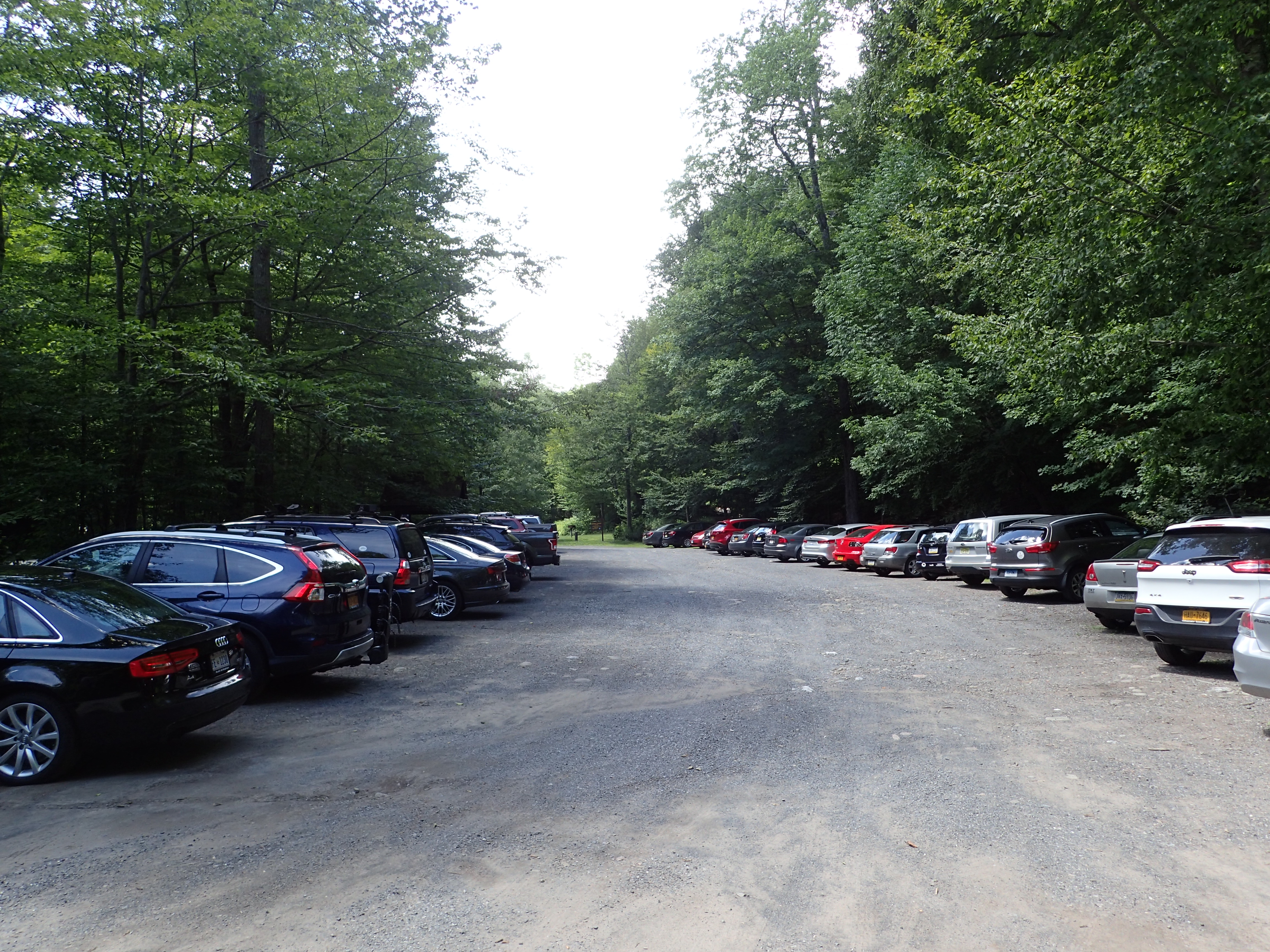
View of the Woodland Valley parking lot.

View looking down the road towards the start of the trail.

View of the sign/trail marker leading the way.
Once I was in the campground area the trail was easy enough to spot behind a large boulder and consisted of a worn trail leading towards Woodland Creek.
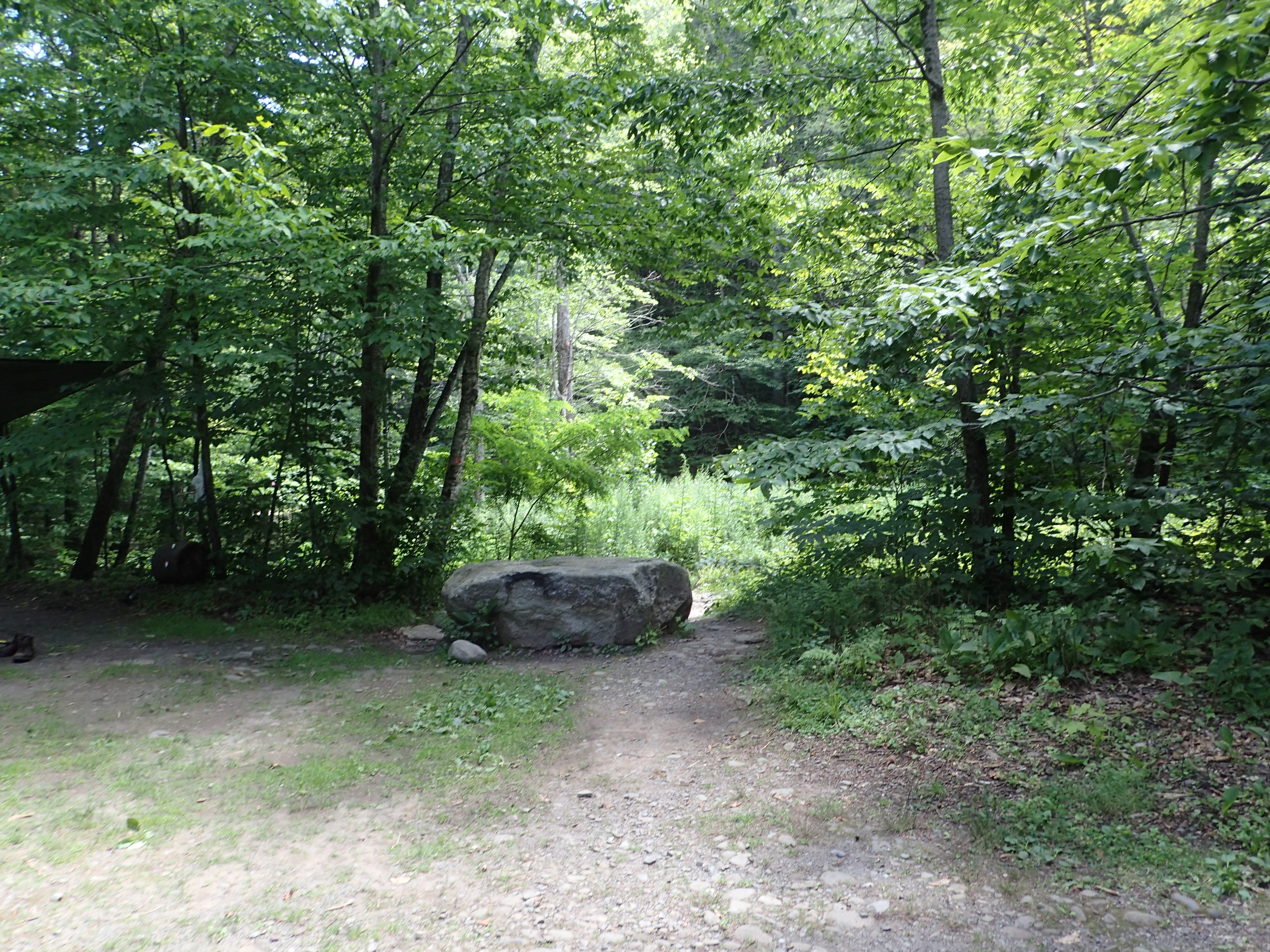
The trail continues on behind this rock that is visible in the campground area.
The trail starts at a sturdy wooden bridge that leads over Woodland Creek. From here the trail starts immediately working its way steeply uphill towards the summit of Wittenberg.

Bridge crossing Woodland Creek.

View of the trail sign immediately after crossing the bridge.
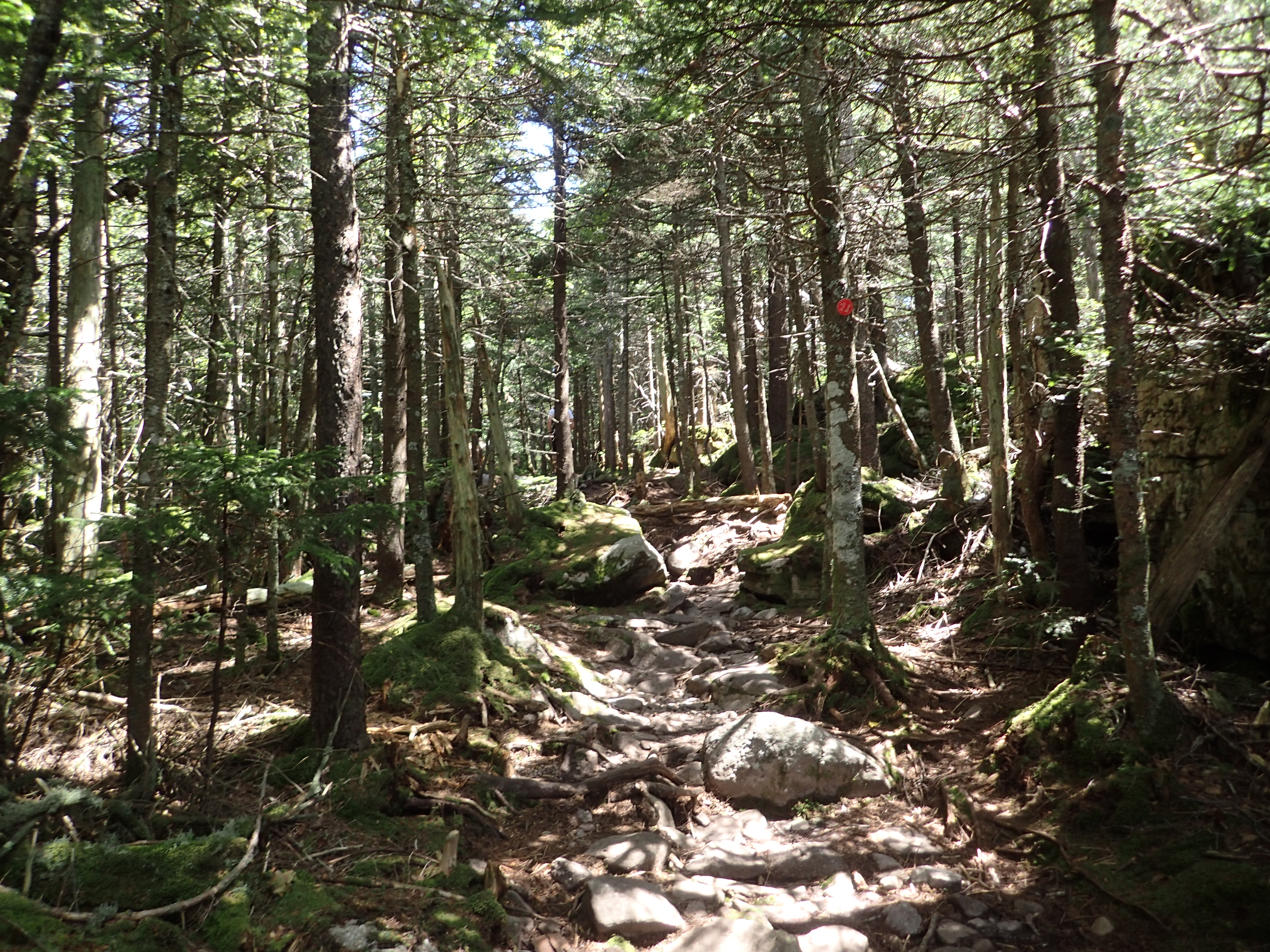
The trail from top to bottom is quite rocky but otherwise easy to follow. The most challenging part is that it is very steep from start to finish, ascending roughly 3,000 feet in about 4 miles. After a short distance heading up hill I came to the trail register which I think has seen some better days.
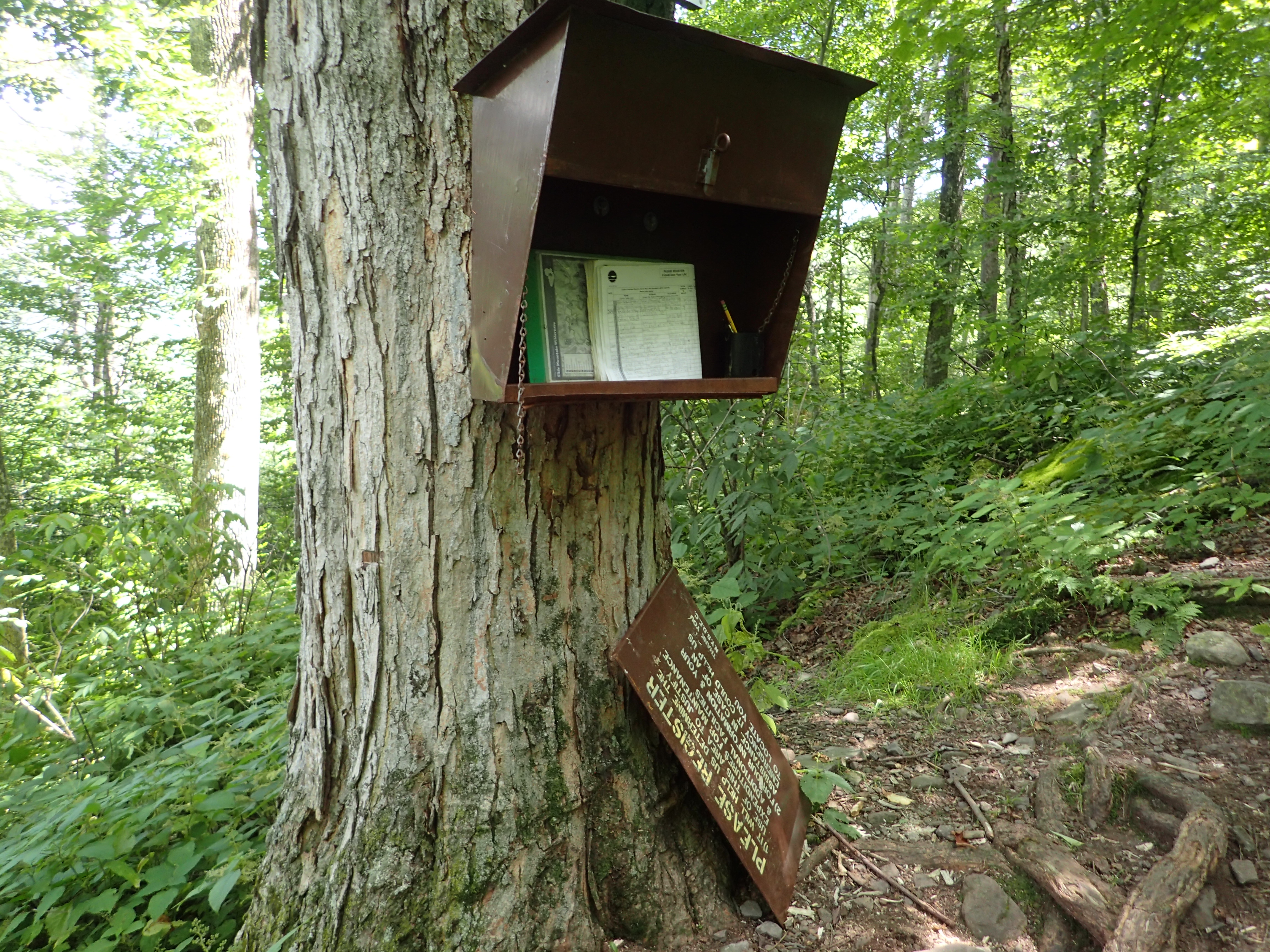
The beaten up trail register. At least all the parts are still there.
After signing in I continued up the trail over rocky terrain as the trail worked its way straight up the side of the mountain.

View of the rocky trail heading up.
The trail maintained this steady grade for a while before briefly leveling out near some large rock formations. After working my way around these formations the trail continued heading upwards along the ridge.

View of the trail as it flattened out briefly.
The trail continuing its way upwards.
At this point the trail followed the edge of what I’m assuming is a fairly steep cliff. I didn’t actually stop to look over the edge but it seemed like it was a pretty steep drop. The trail also passed through some more open forest areas where I had to be a little more observant to make sure I stayed on the trail. This was the only part of the hike where I felt I needed to pay more attention to where I was going. After navigating this short section there was more rocky terrain to scramble up.
View of the trail as it got rocky again.
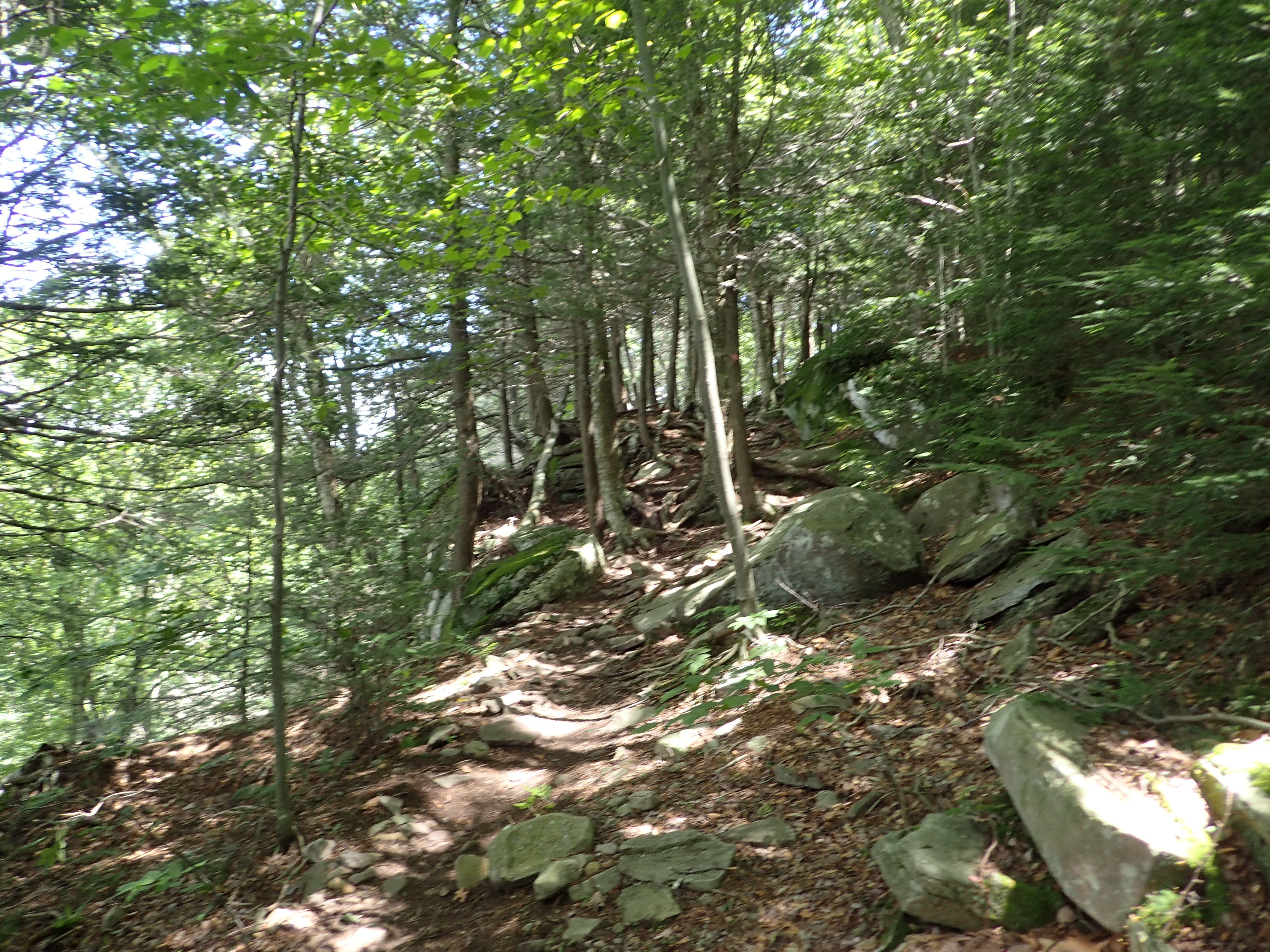
After passing this rocky section the trail went back to climbing steadily upwards through dense green woods. It also became a little less rocky so it was easier to pick up the pace a little bit.

View of the trail as it continued upwards.
Before too long I reached the first trail junction where I proceeded to make a right and continue on my way towards Wittenberg Mountain.
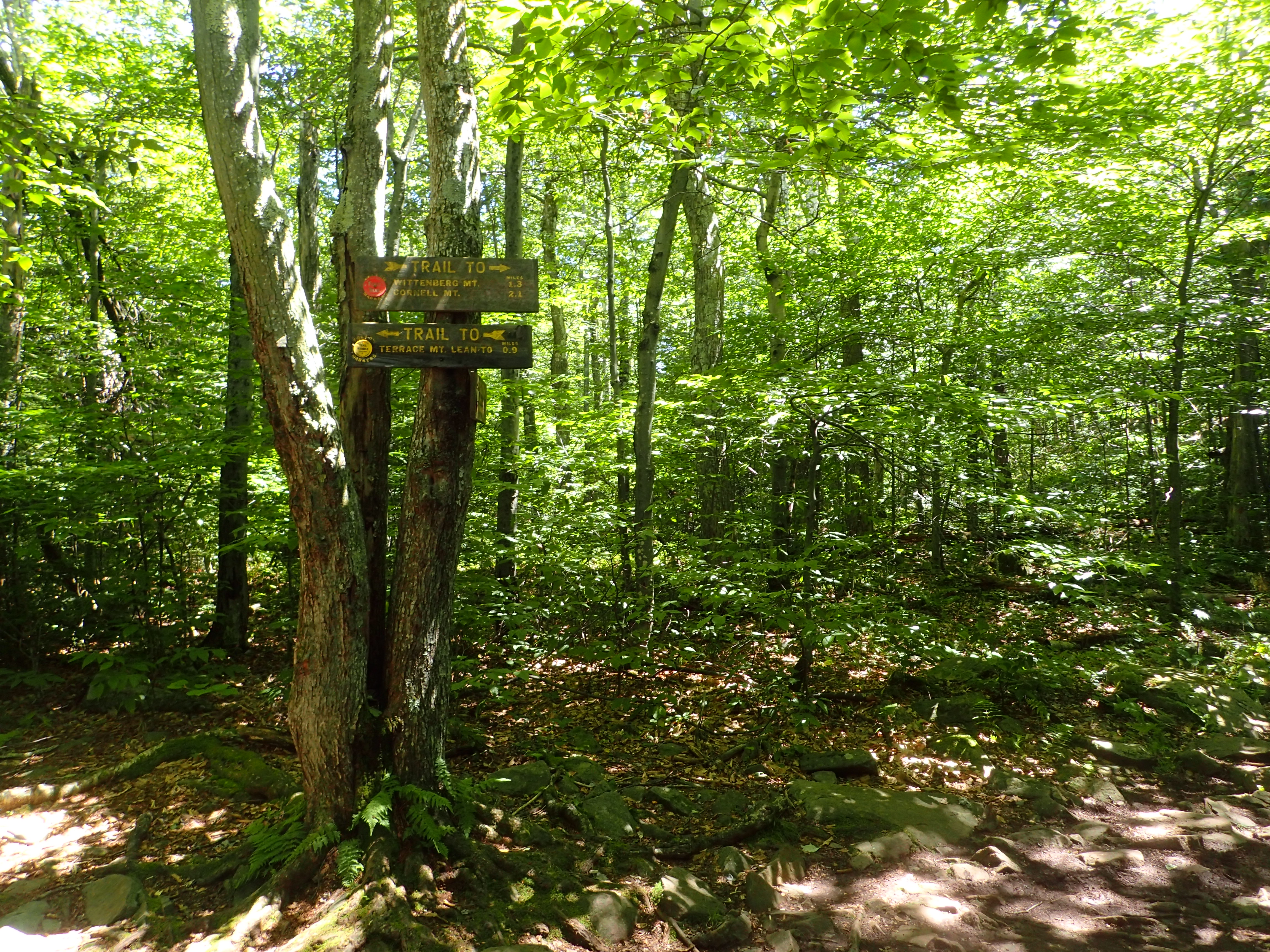
View of the trail junction.
After the junction the trail stayed flat for a little ways before continuing the climb upwards.

View of the trail after the junction.
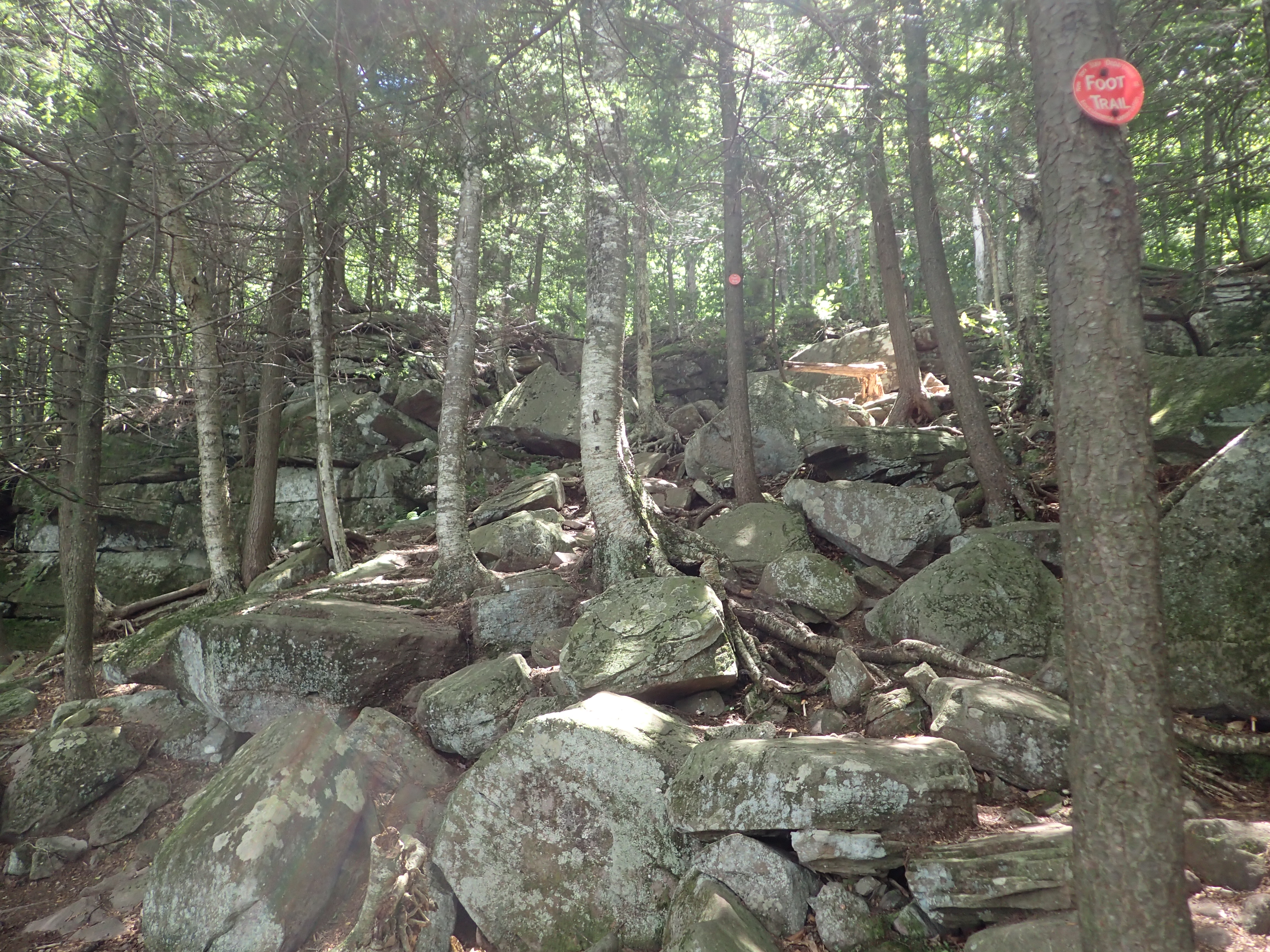
From here the trail got even rockier as I approached the summit. There is also one section that involves a bit of scrambling.

View of the trail as it got rockier.

View of the rockier trail.
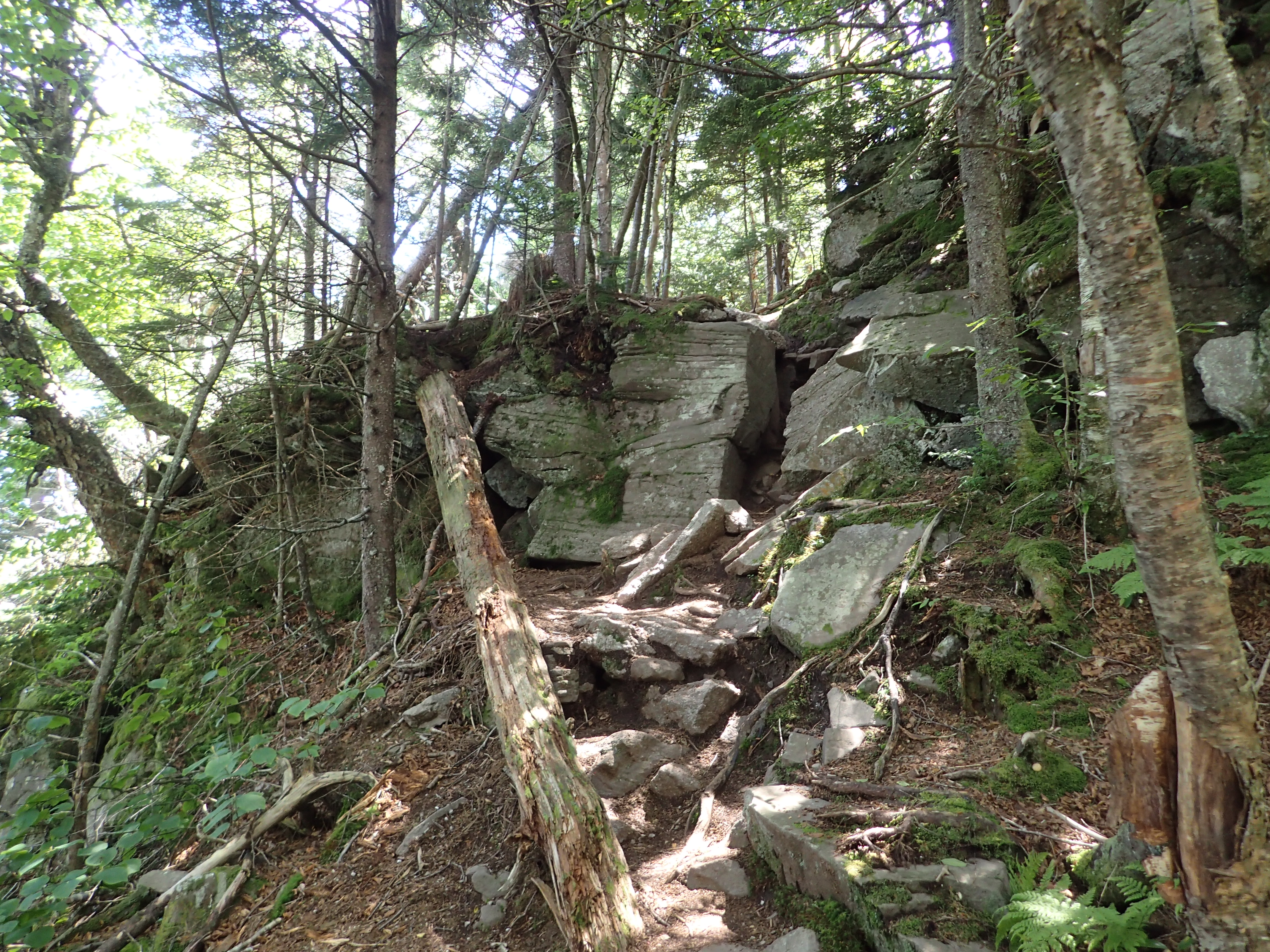
Nearing the end of the rough trail.
The scrambling itself is easy but there are quite a few spots to navigate which really give this hike its character and keep things interesting. I was able to make good time on the climb up and before too long the trail flattened out as I got close to the summit of Wittenberg.
View of the trail near the summit.
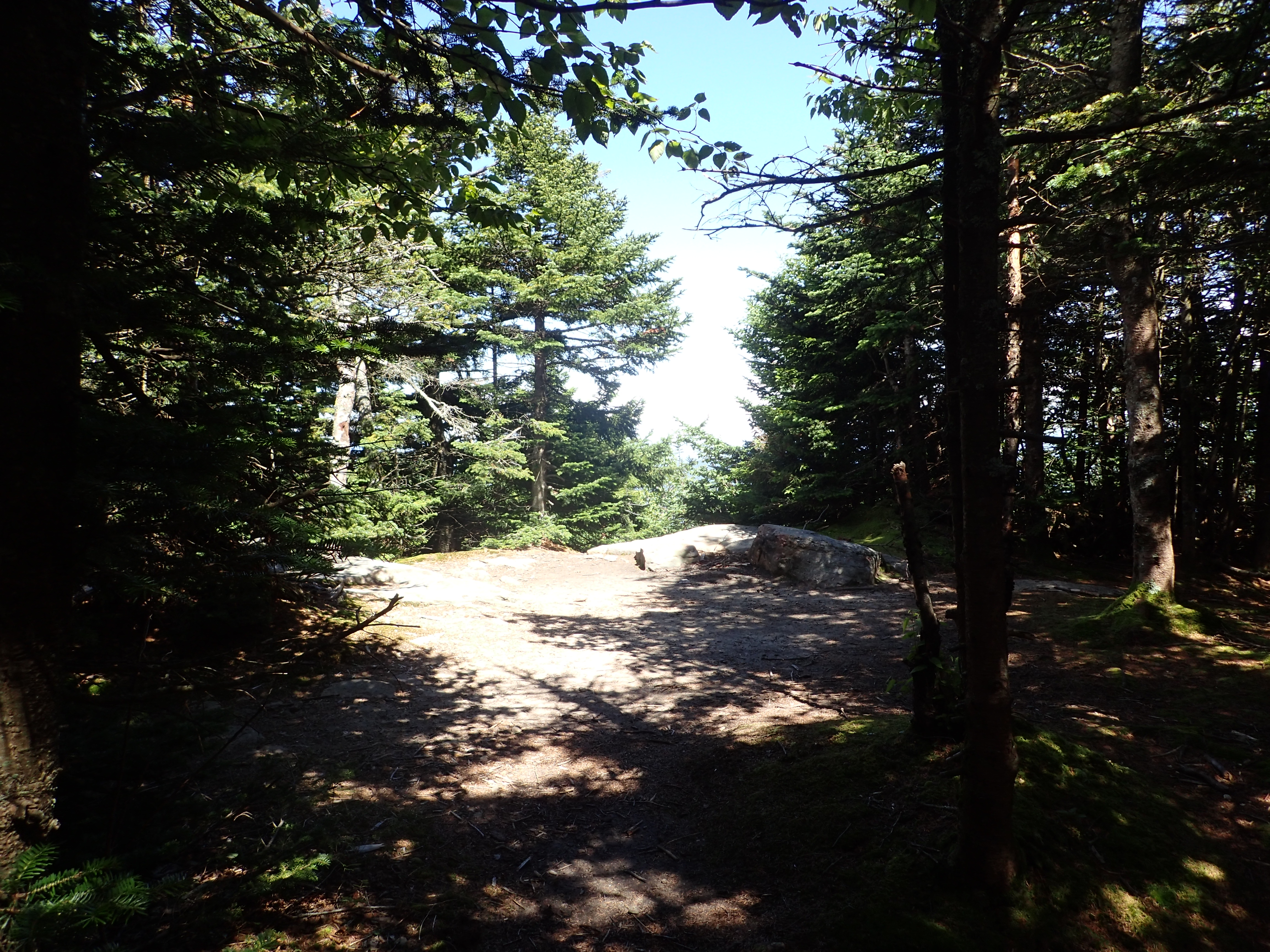
I had not really looked up the specifics of the hike before coming so I was pleasantly surprised when I came out of the woods to a large airy ledge. The summit ledge had some really beautiful views and perhaps the best I have seen in the Catskills to date. There were a bunch of people hanging out enjoying the beautiful weather but the summit is more than large enough to accomodate everyone.
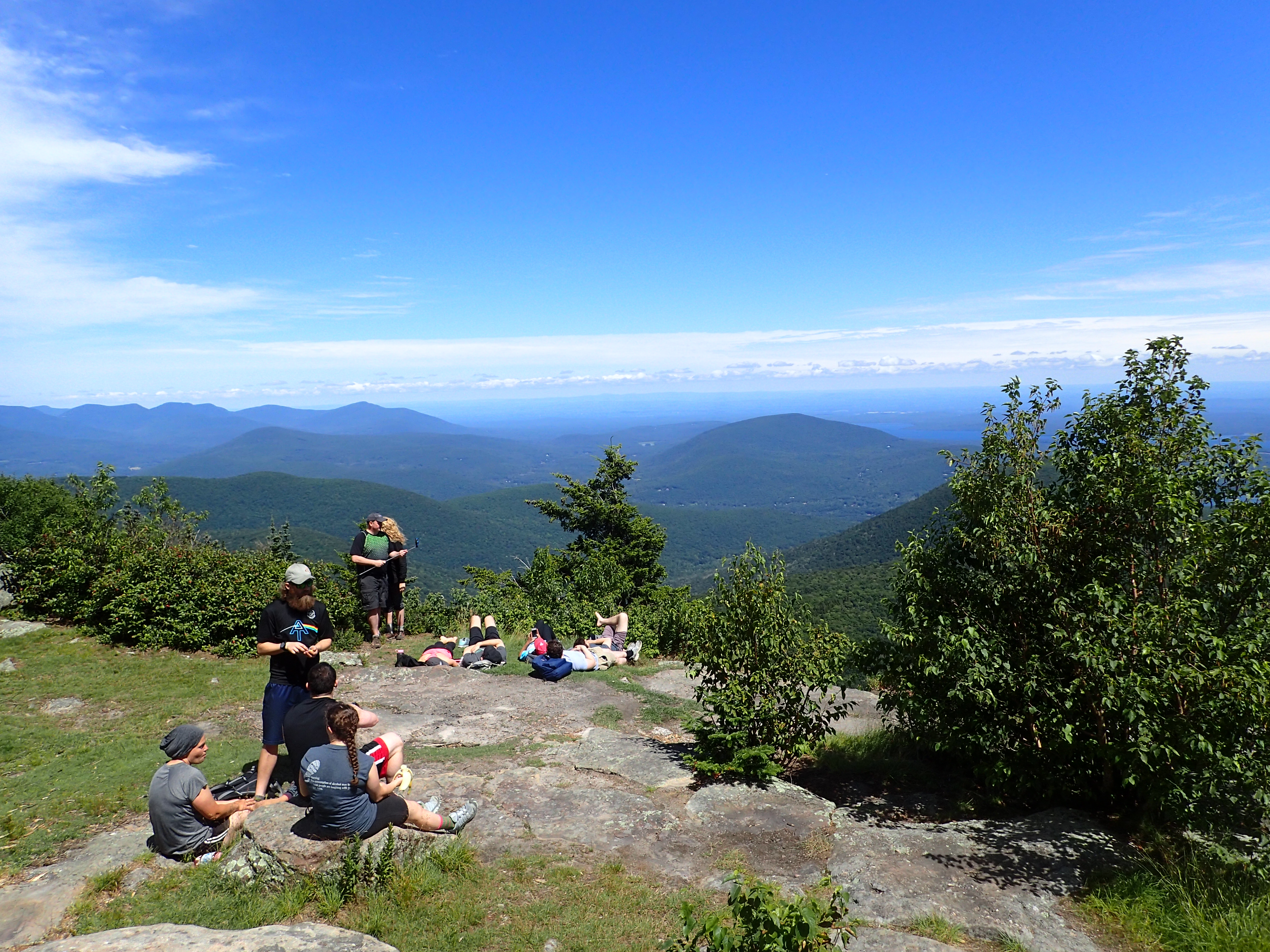
View of the summit clearing.
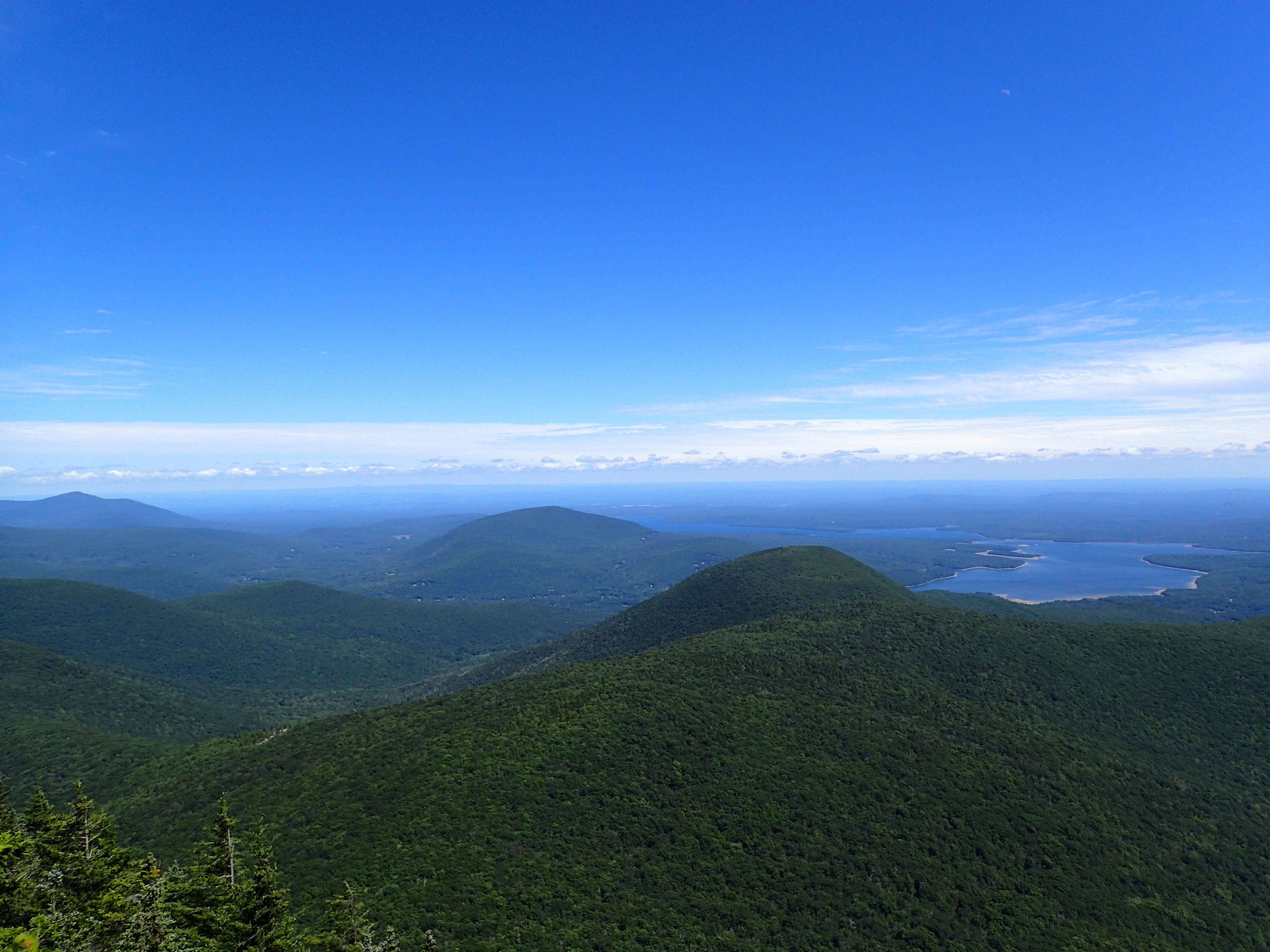
View from the summit.
After taking in the view for a few minutes I continued on my way towards the summit of Cornell which was only another mile or so down the ridge.

Start of the trail heading towards Cornell Mountain.
As I started down the trail I was surprised to see someone camped out right next to the summit in a small clearing. This is against DEC regulations for various reasons. Please don’t do this.
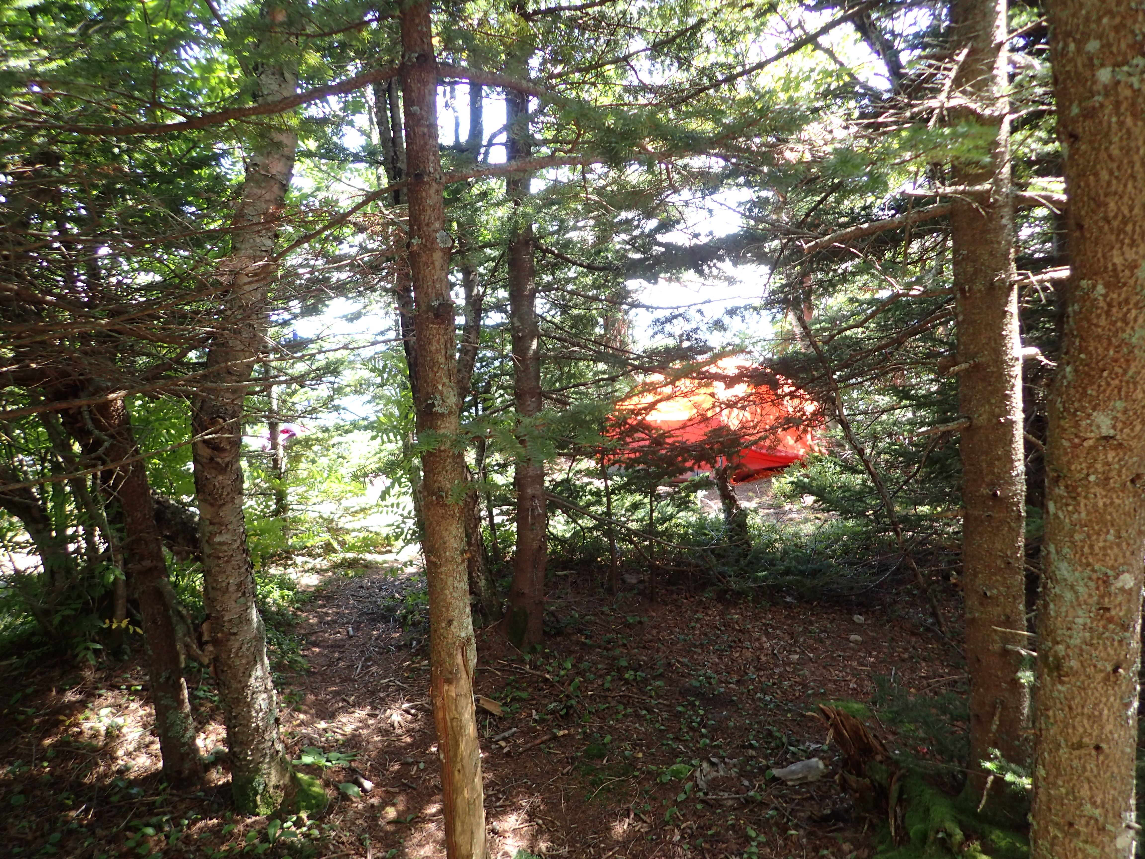
Illegal campsite right next to the summit.
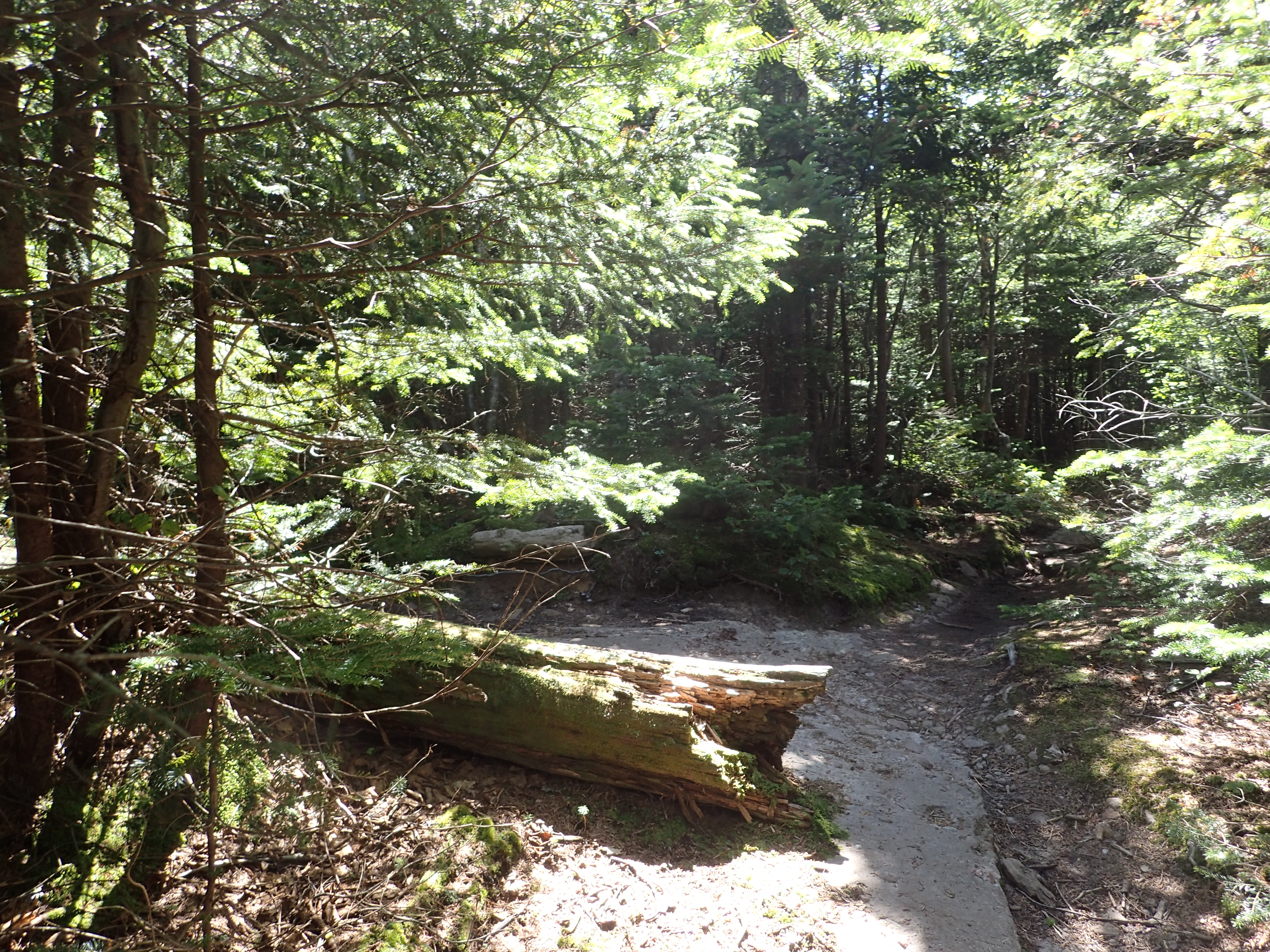
The trail to Cornell starts by dipping down into a small col between the two mountains before shortly working its way back upwards over more rocky terrain.

View of the trail heading back up towards Cornell from the col.
This section of trail was pretty straightforward but did offer some varied terrain along the way.
Another rocky section along the way.
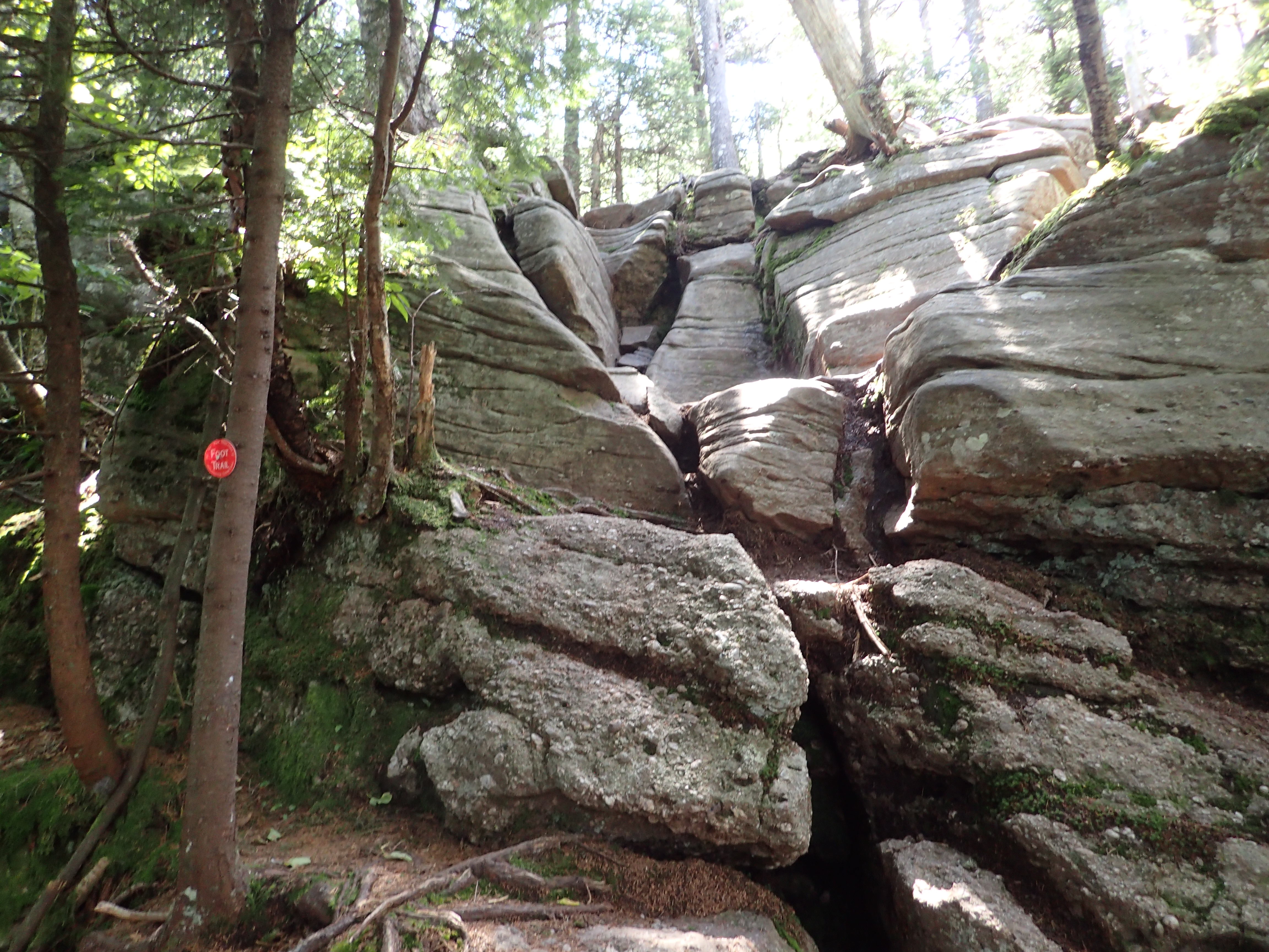
As I approached the final stretch of trail to the summit I reached the famous Cornell Crack. This rock feature is pretty unique for the area and also very fun. The picture below makes it look trivial but it is a bit bigger and more challenging than it looks. Luckily the rock is nice and grippy so it makes getting up the crack much easier. I chose to climb up the inside corner on the right side of the photo.

View of the Cornell Crack. The angle of the photo (and no person for scale) makes it look easier and smaller than it is.
Once I got up the crack I made my way the last 400 feet or so to the summit. This part of the trail was just simple flat trail until you reach the summit. The summit is actually found on a small herd path that splits to your left near a large log. It can be really easy to miss but if you find yourself suddenly going down hill you know you probably went too far.
View of the log marking the location of the junction for the summit clearing path.
The summit itself is fully wooded and offers only the tiniest of obstructed views. I only lingered on the summit for a few minutes before making my way back down to the parking lot the way I came.
View of the tree covered summit of Cornell Mountain.
Although there wasn’t much of a view from the summit of Cornell, the views from Wittenberg more than made up for it. The hike back out was pretty uneventful and I made it back to my truck 3.5 hours after starting. I can honestly say that Wittenberg is a mountain I would climb again and again just for that view. This particular hike would also make for a great training ground thanks to the rough and steep terrain, too bad I am just a little too far away to hike it more regularly. All in all I had a great day out in the Catskills and I cant wait to get back soon to tackle the rest of the peaks on my list.
Categories: Catskills, New York, Trip Reports


Been wanting to tackle these!!
LikeLiked by 1 person
They were good ones for sure!
LikeLike
did you encounter many ticks?
LikeLiked by 1 person
None at all, but I also didn’t stray from the marked trails really. Generally speaking though I have never really seen many ticks on the peaks of the Catskills/Adirondacks.
LikeLike