
TRIP REPORT: Beehive Trail and Champlain Mountain – Acadia NP, ME 7-2-16
Hiking stats at a glance:
Trailhead: Beehive Trail off Park Loop Road just past the pay station.
Hike Highlights: Champlain Mountain Summit, Beehive Trail
Miles: ~6
For the July 4th weekend we decided it would be a great time to head up to Maine and Acadia National Park for a couple days of camping and seaside adventure. Lucky for us the weather was as perfect as it could get sitting in the high 70s and sunny both days we were in the park. For our first hike of the weekend we decided to go with the Beehive Trail and then up to the summit of Champlain Mountain. For the second time in a row the Precipice trail was closed due to Peregrine Falcon nesting so that was unfortunately not an option for us to hike.
After entering the park just past the pay station on Park Loop Road we pulled over behind the last car in the row and gathered up our things for the hike. It wasn’t a very long hike so we went pretty light.
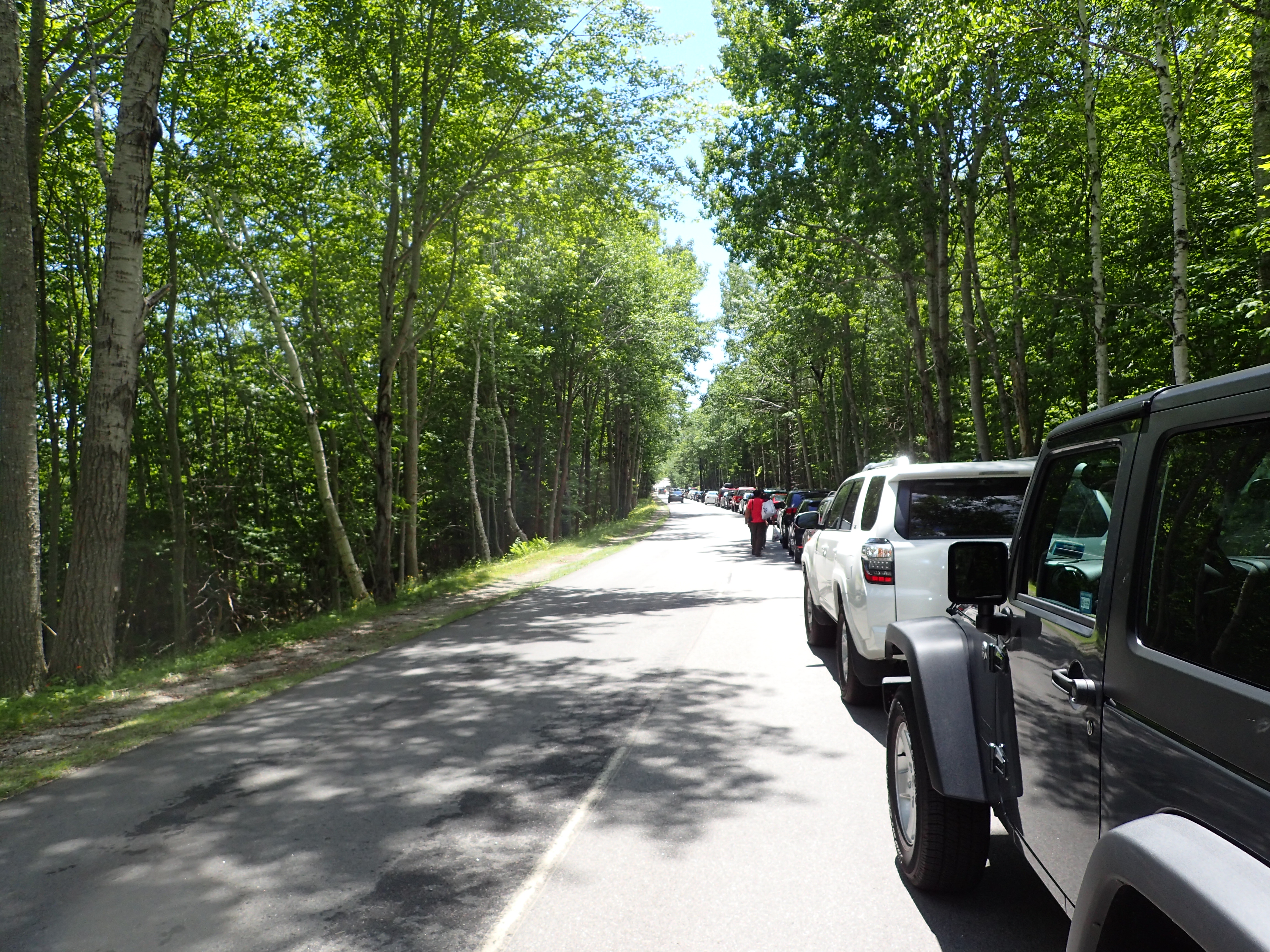
Where we parked along the Park Loop Road, just past the entrance pay station.
The hike starts just down the road on the right hand side right before you reach the signs pointing you towards the Sand Beach. A lot of the cars parked in the row were there for the Sand Beach so the trail was not nearly as crowded as it seemed like it might be. Although it also helped that we were starting fairly early which by Acadia standards is before noon.
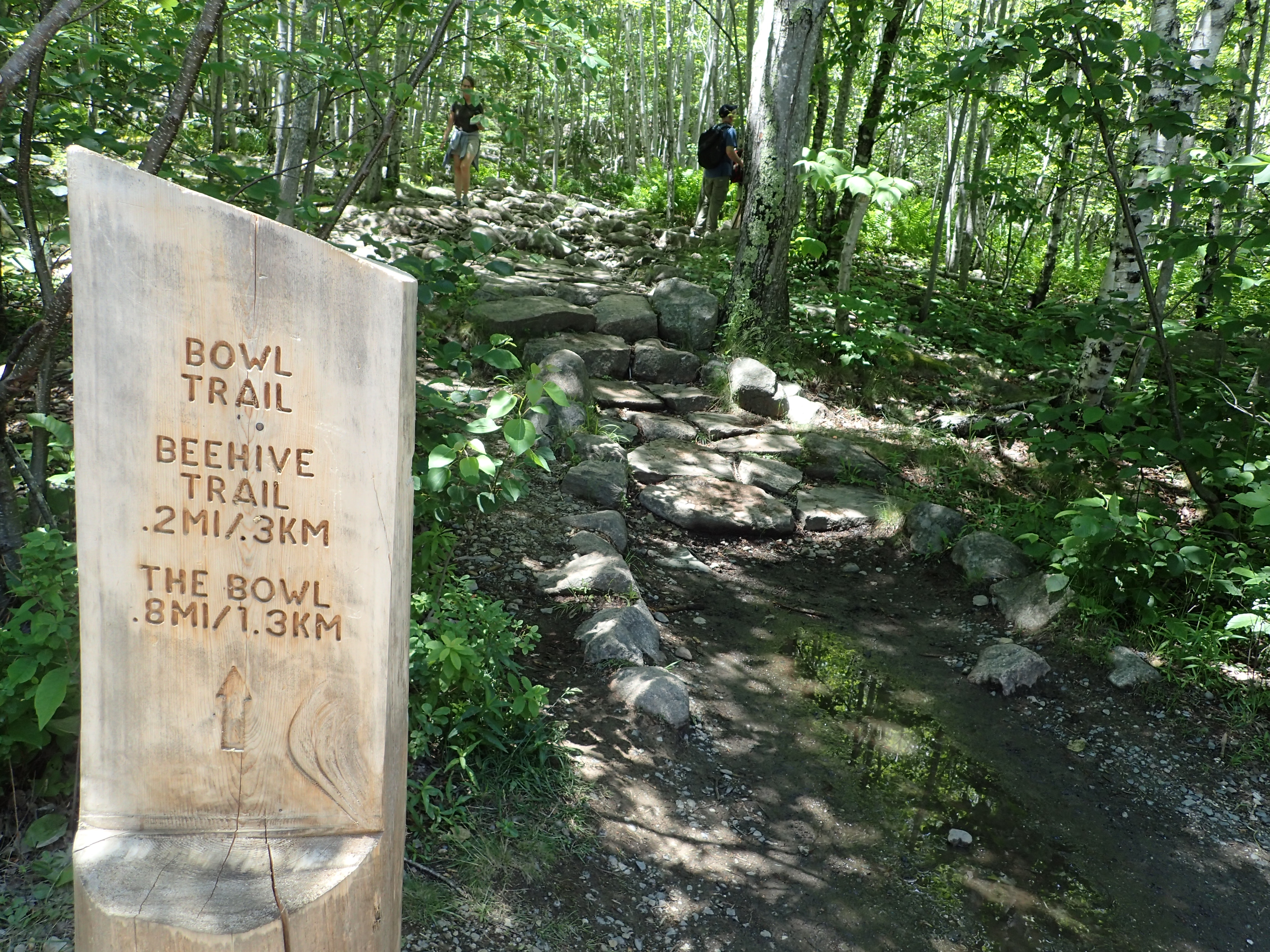
Sign marking the start of the trail off the road.
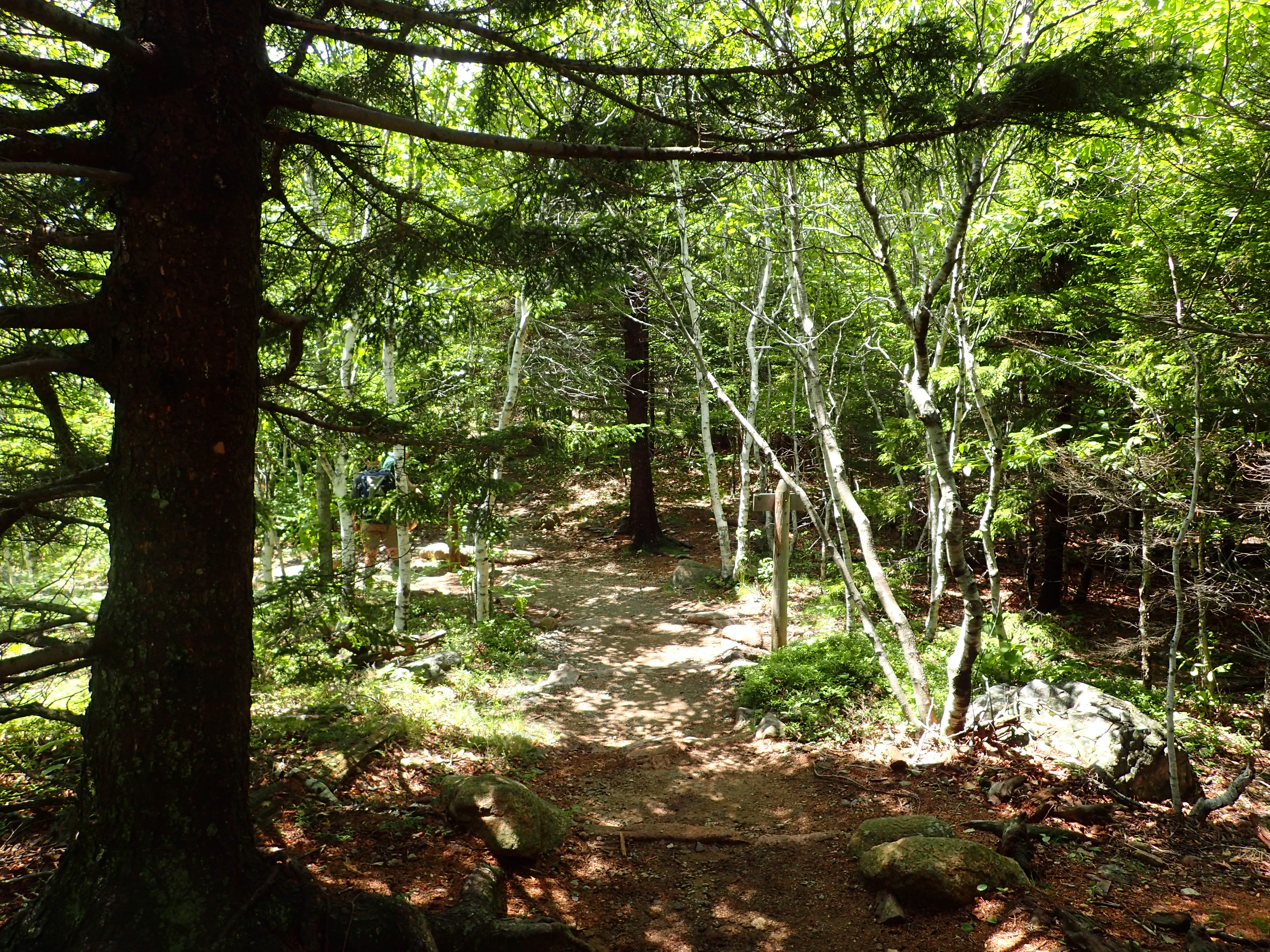
The trail starts on a very gentle slope and rocky trail leading up out of the woods and towards the cliffs you need to navigate as part of the Beehive trail.

Start of the rocky trail leading away from the road.
The trail itself leading up to the top of the Beehive is quite short but it is full of interesting climbing so it is usually a very popular choice for people. The precipice trail is a slightly longer and harder option to go up the cliffs directly to Champlain Mountain but due to the Peregrine Falcon nesting it was closed at the time of our visit. After a few minutes in the woods we reached the first junction pointing us up to the cliffs on the Beehive trail.
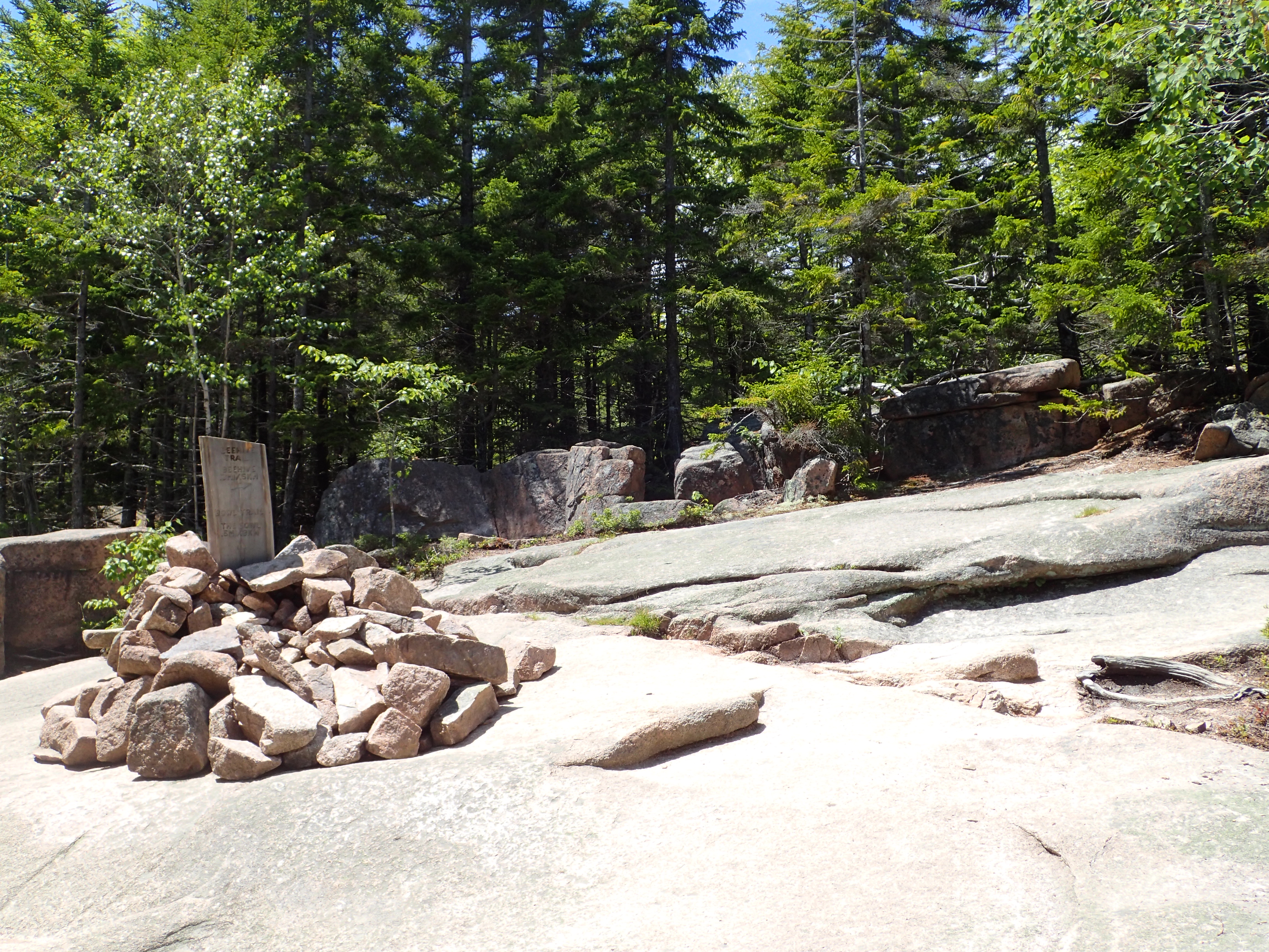
First junction.
We hung a right at the junction and headed up towards the cliffs. From here the trail quickly goes from a gentle path through the woods to a series of ladders and exposed cliffs which lead you up to the summit. The trail has quite a bit of character and is pretty unique, especially in the northeast. Once you get above the trees you are greeted by magnificent views of the surrounding coastline which make for a fantastic experience. The trail itself can seem intimidating but nothing is hard and if you can climb up a ladder you can do this trail with no problem.
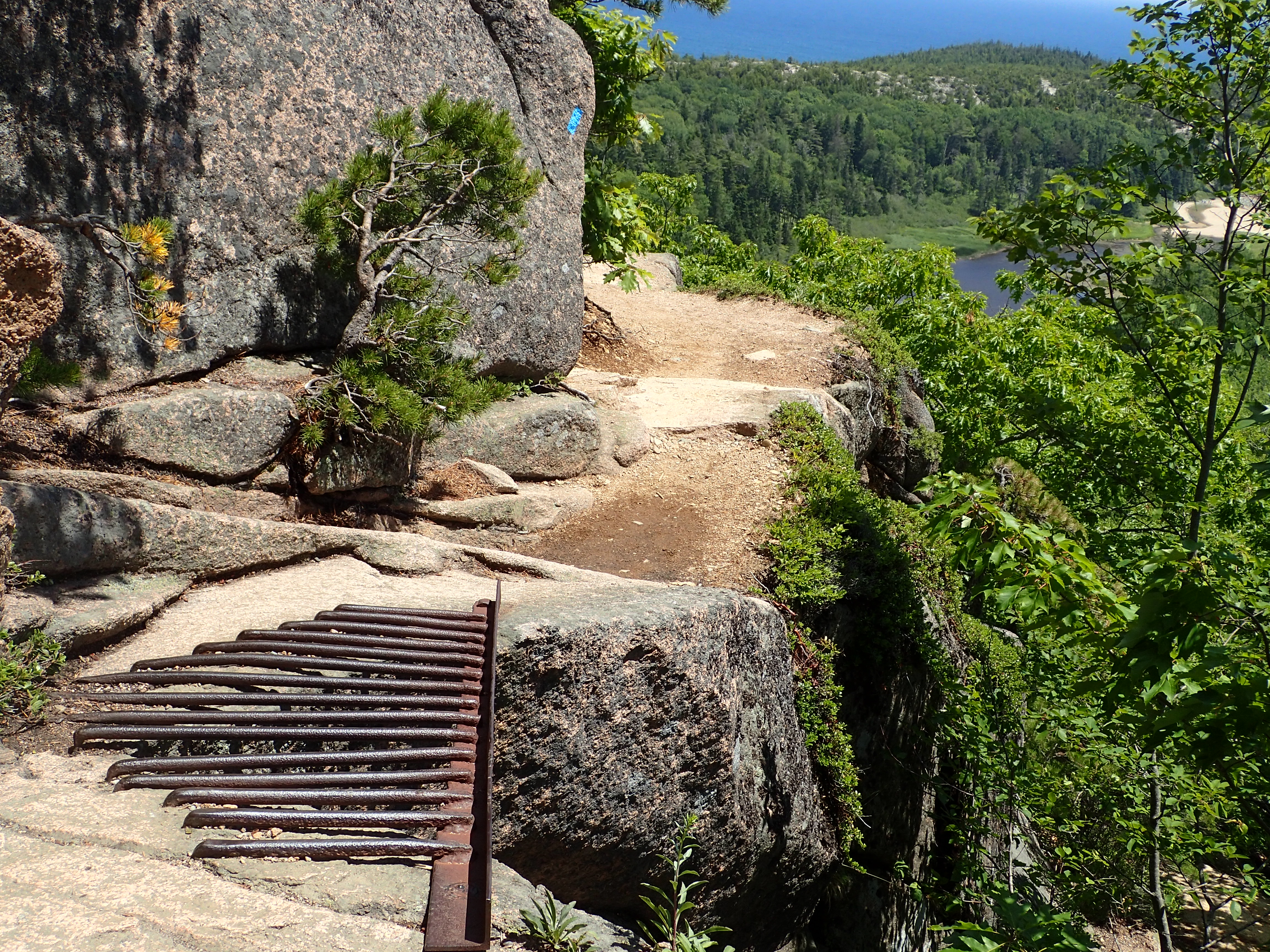
Metal rungs are located where necessary to make the trail safe.
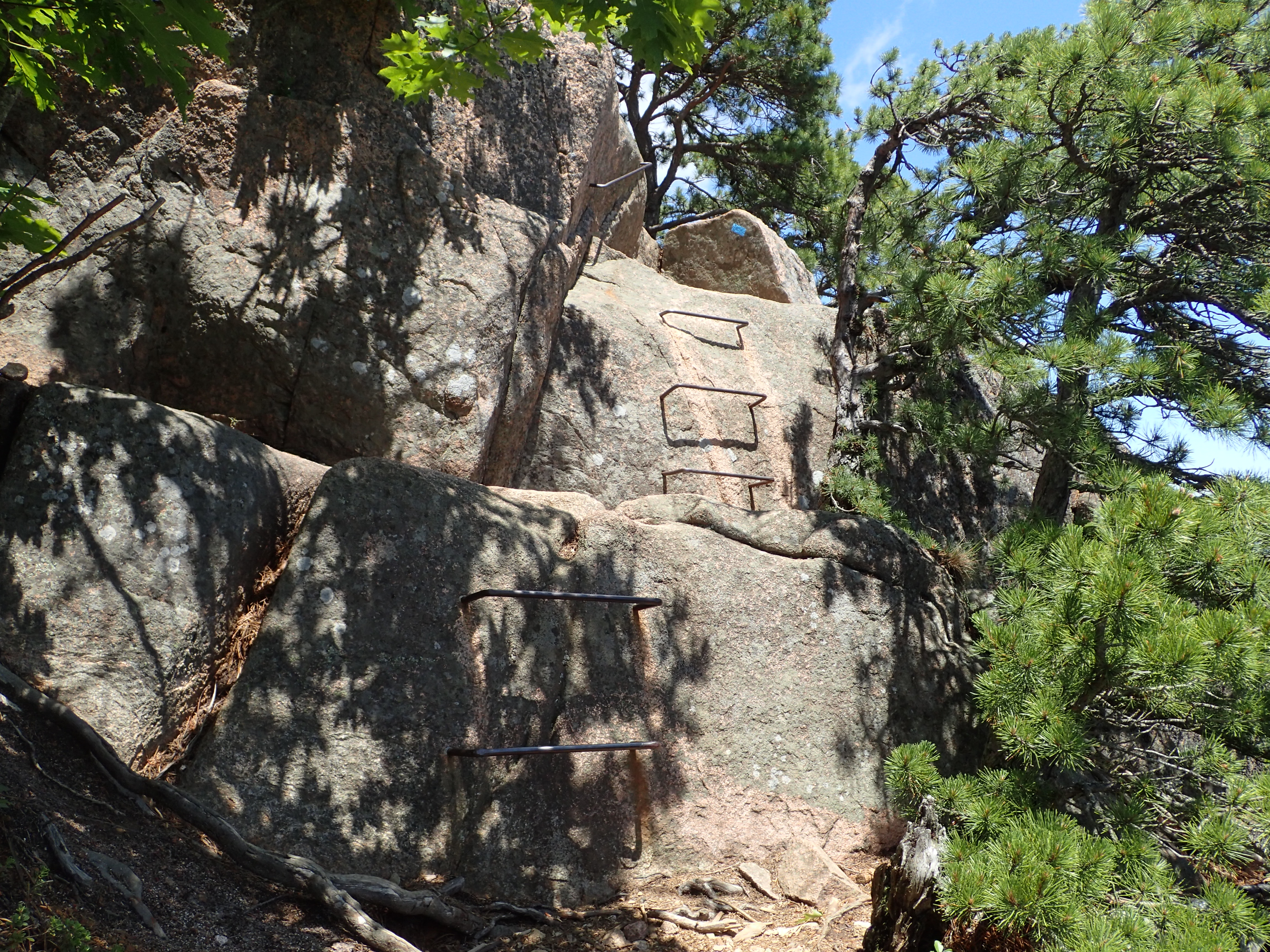
More metal rungs leading up the trail.
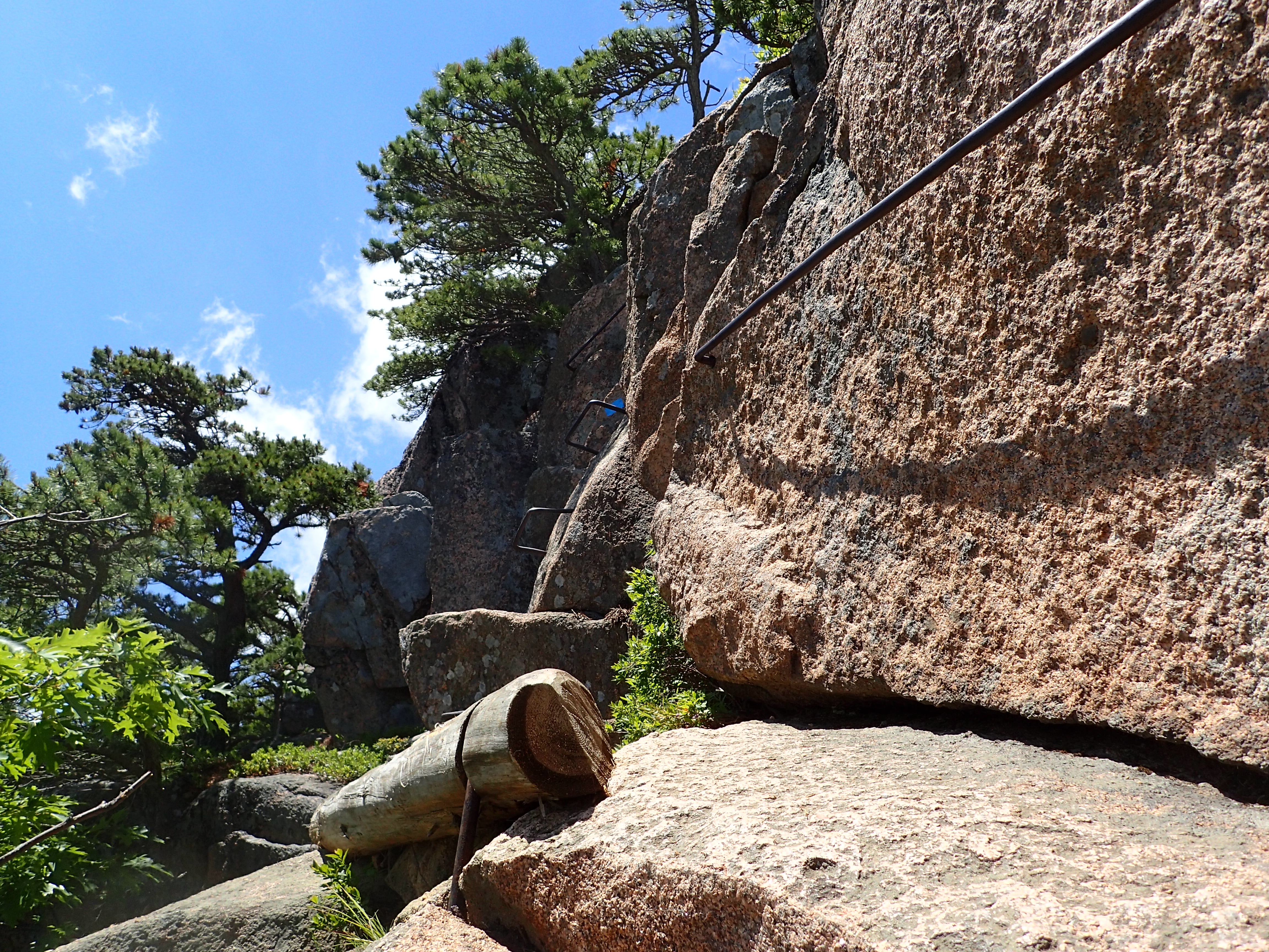
The rungs are sturdy and provide all the assistance you may need.
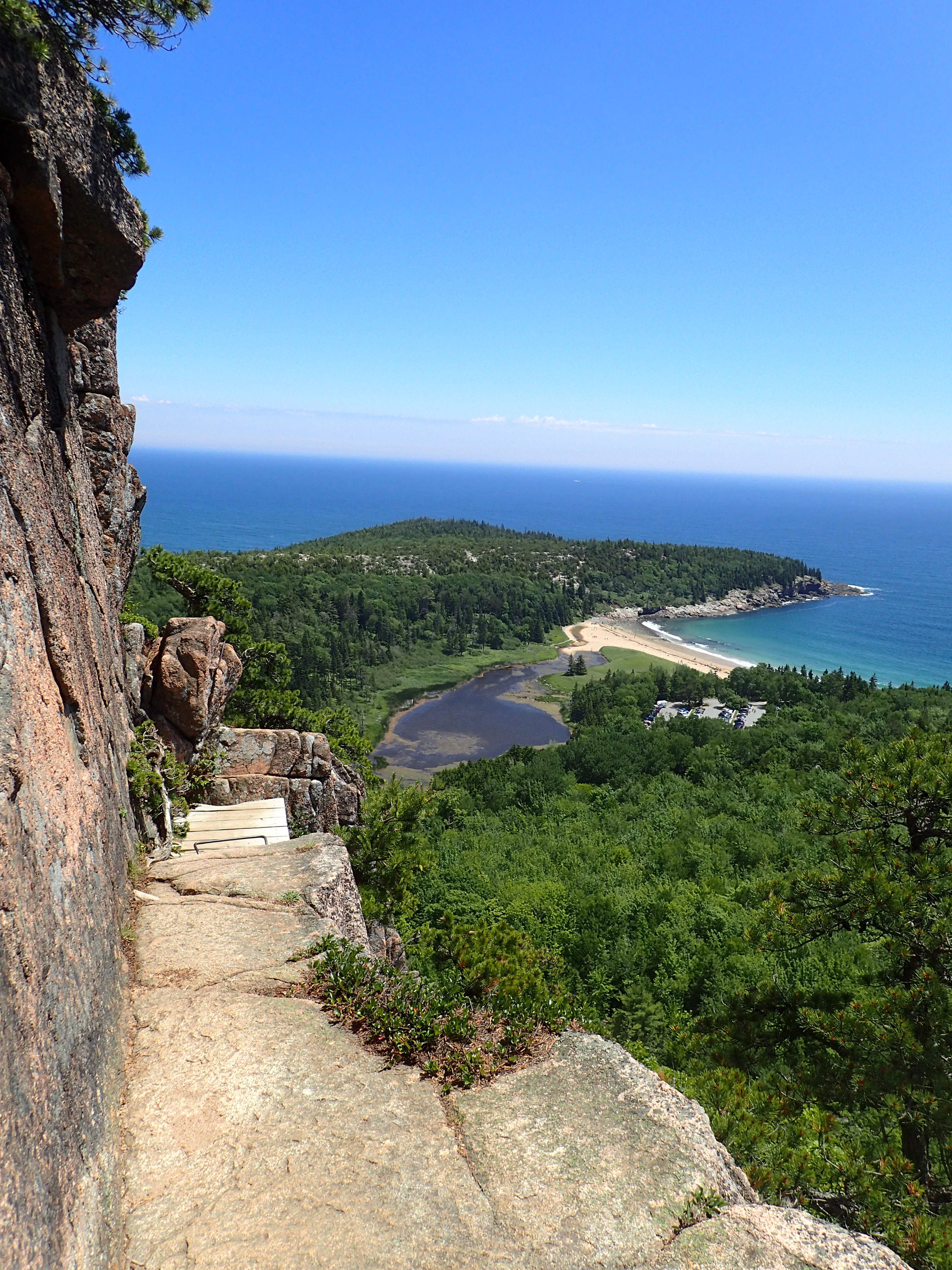
The cliffs overlooking the Sand Beach.
Looking out towards the Sand Beach.
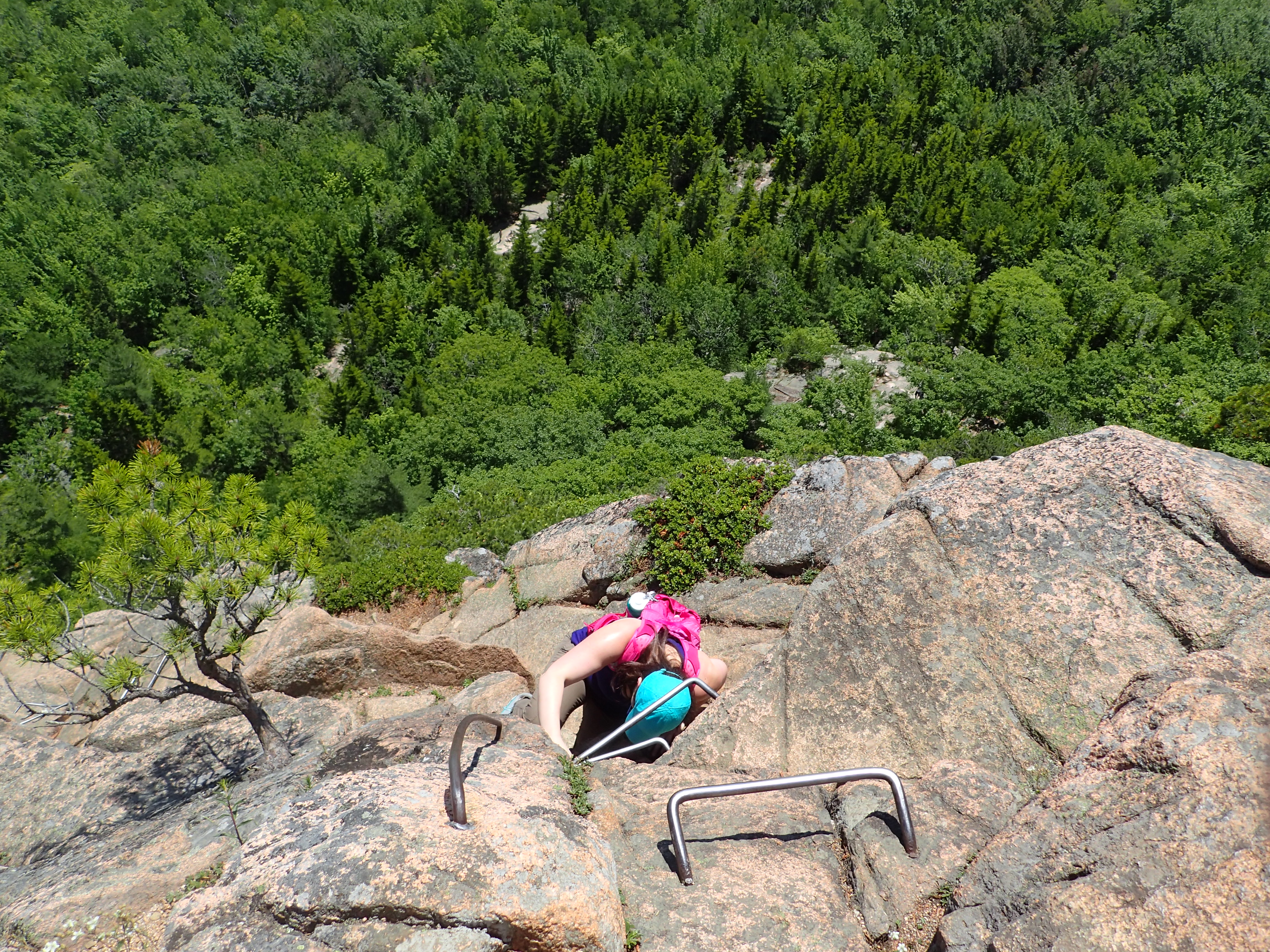
Kelly navigating the last stretch of ladders.
Before too long we reached the final approach to the summit and the only bad thing was that the trail wasn’t twice as long because it really is a lot of fun.
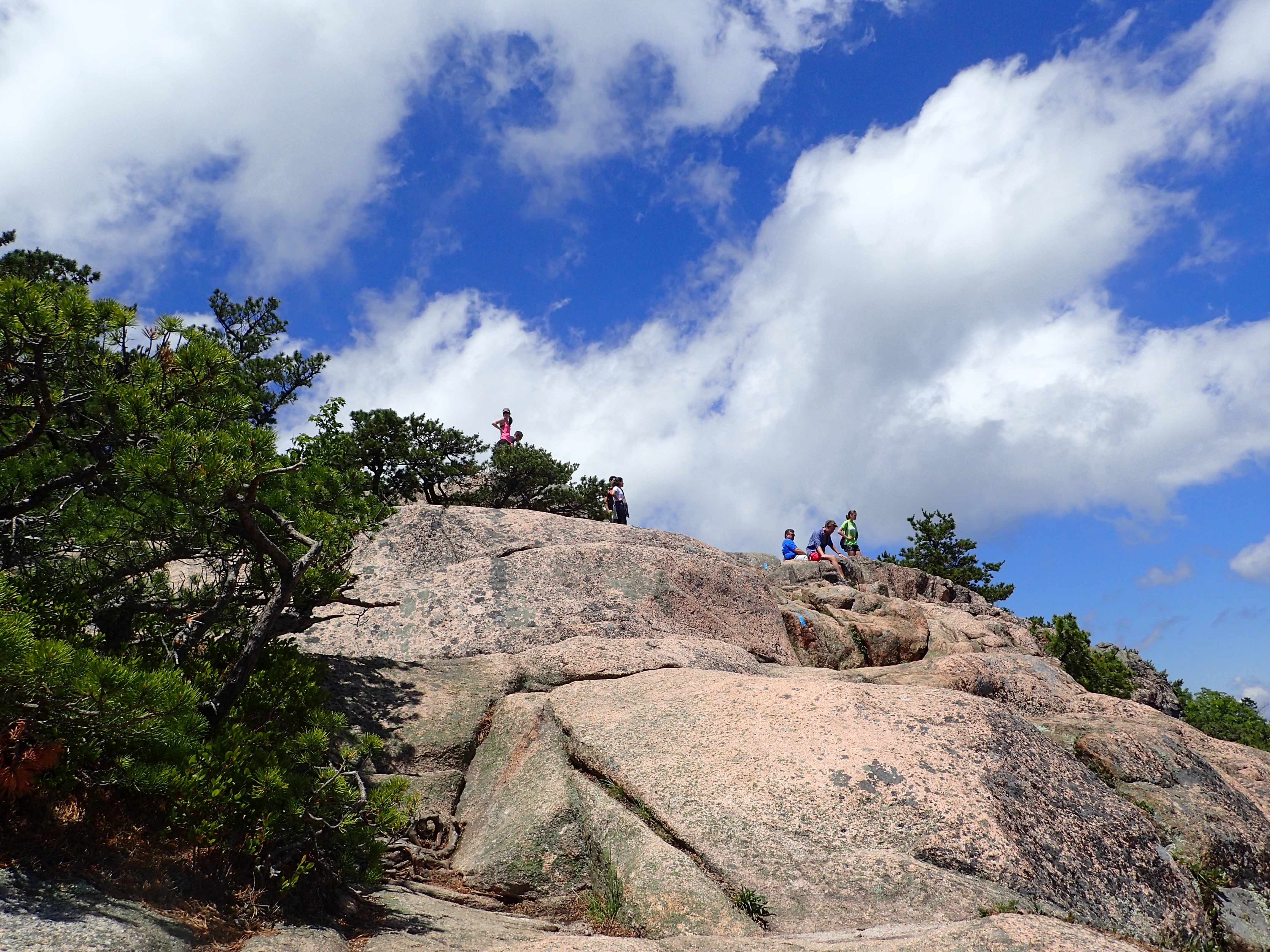
The final approach up the slab to the summit.
The summit of the Beehive sits only at 520 ft above sea level so it is not particularly tall but it makes up for it with beautiful views of the surrounding area.

Summit marker on the Beehive.
We stayed on the summit long enough to take a few pictures and then headed over towards Champlain Mountain which was our final destination for this hike. From the Beehive summit it is a little less than 2 miles to the Champlain Mountain summit.
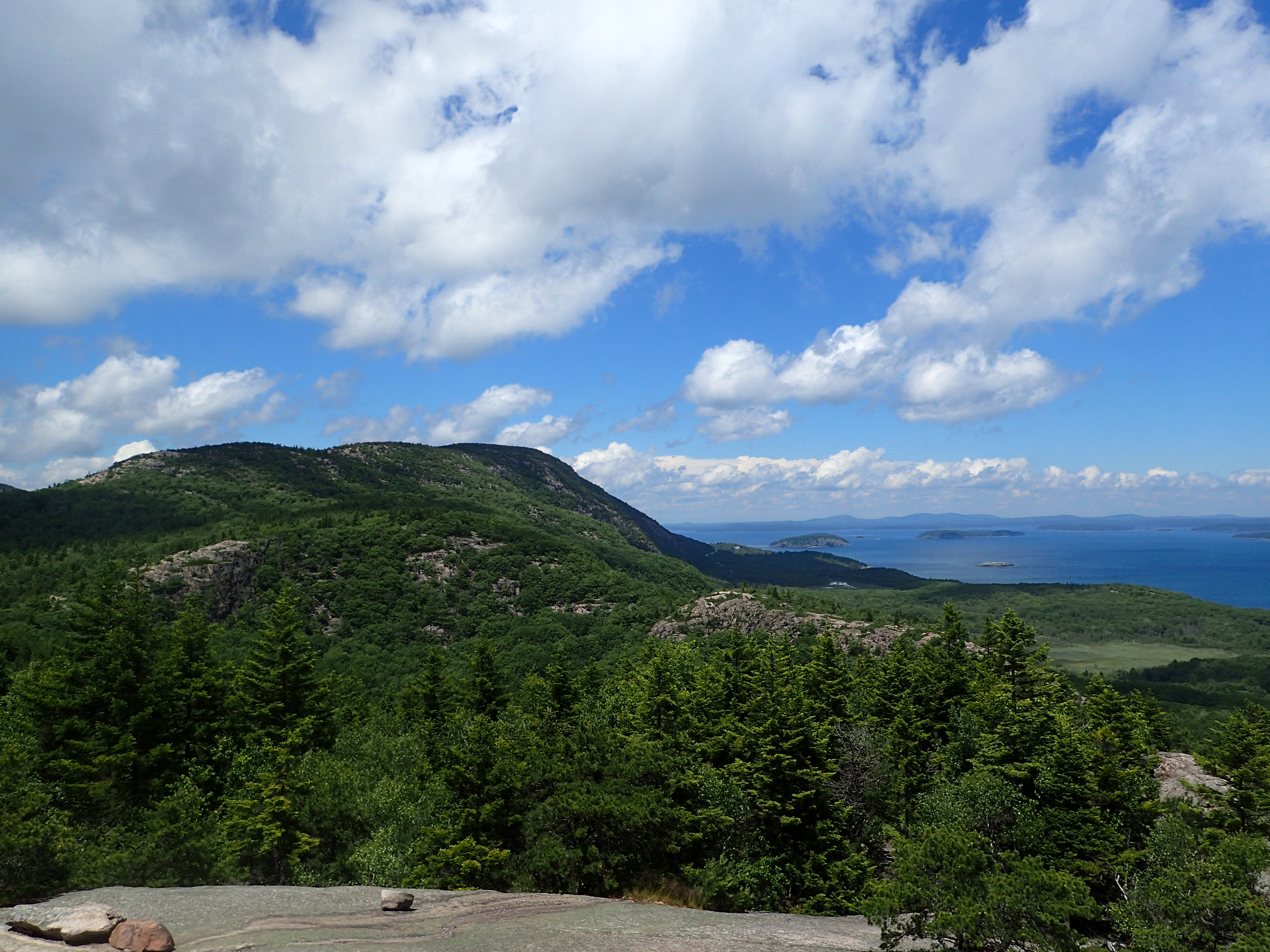
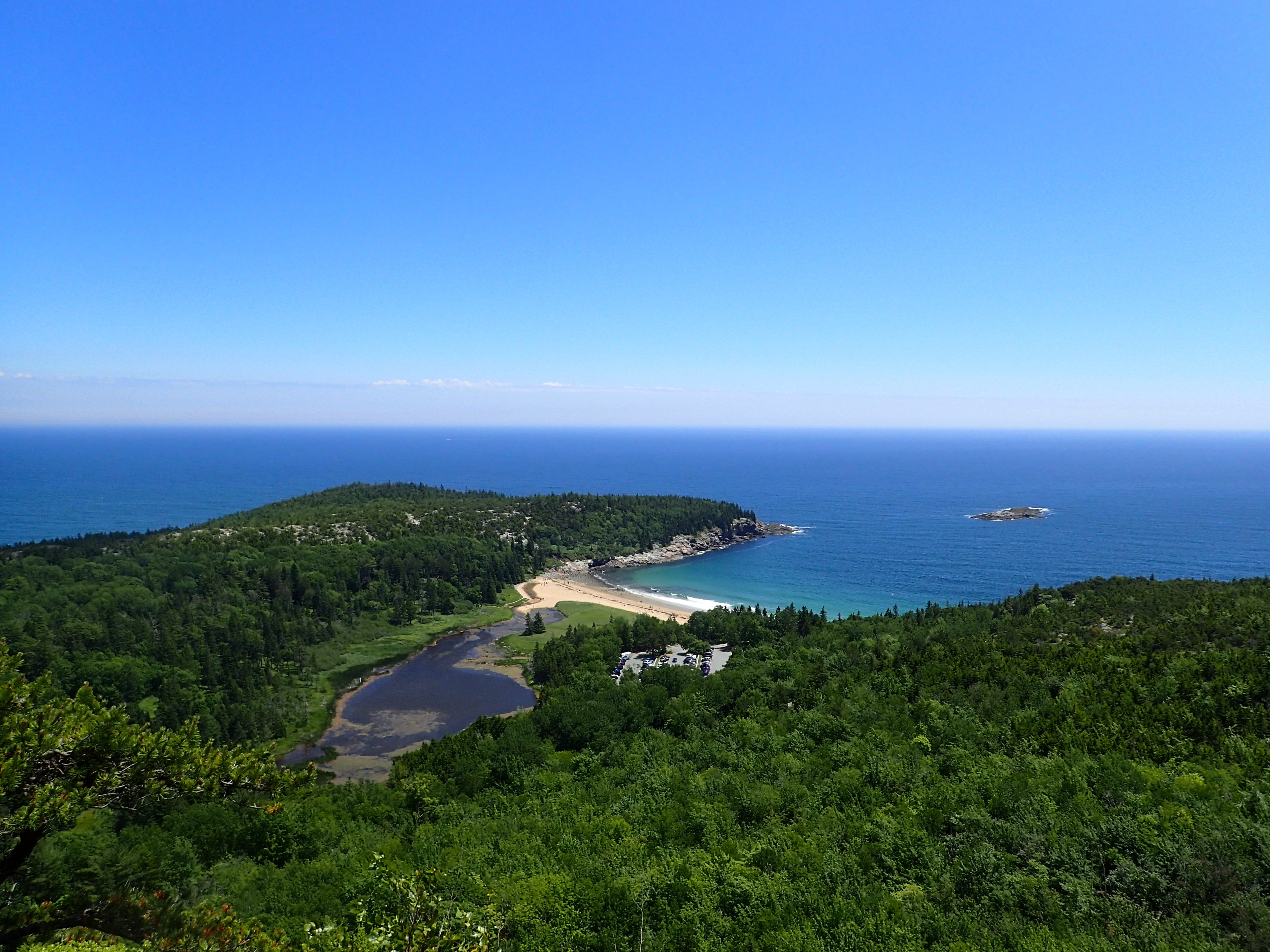
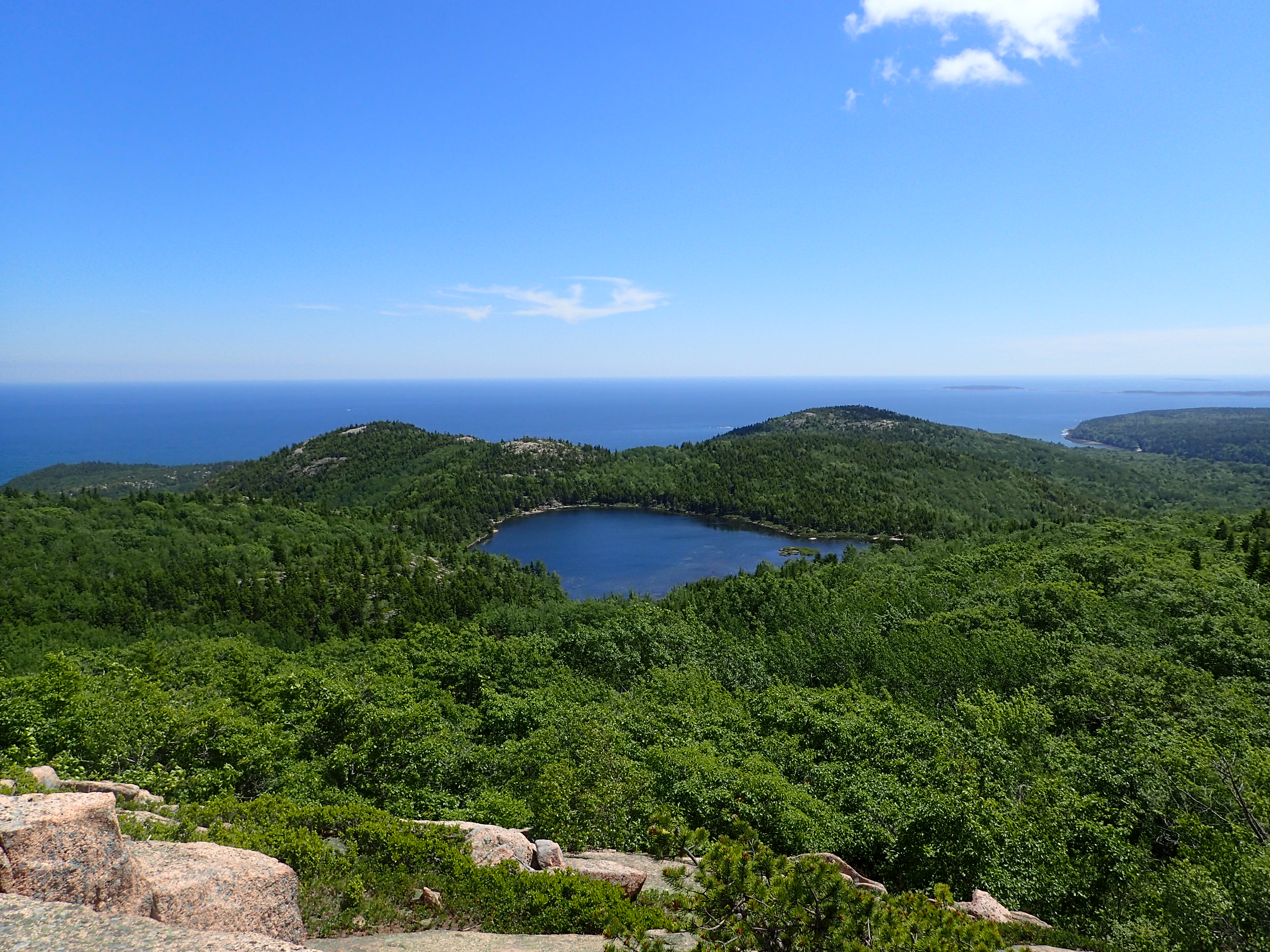
View of the Champlain Mountain Summit in the distance from the Beehive.
Trail leading off the Beehive Summit.
A short section of hiking along the rocky ridge of the Beehive lead us back down into the woods and on our way towards The Bowl, which is a small pond that sits between both mountains.
Trail leading towards the Bowl.

One of the small humps you need to get over to get towards the Bowl.
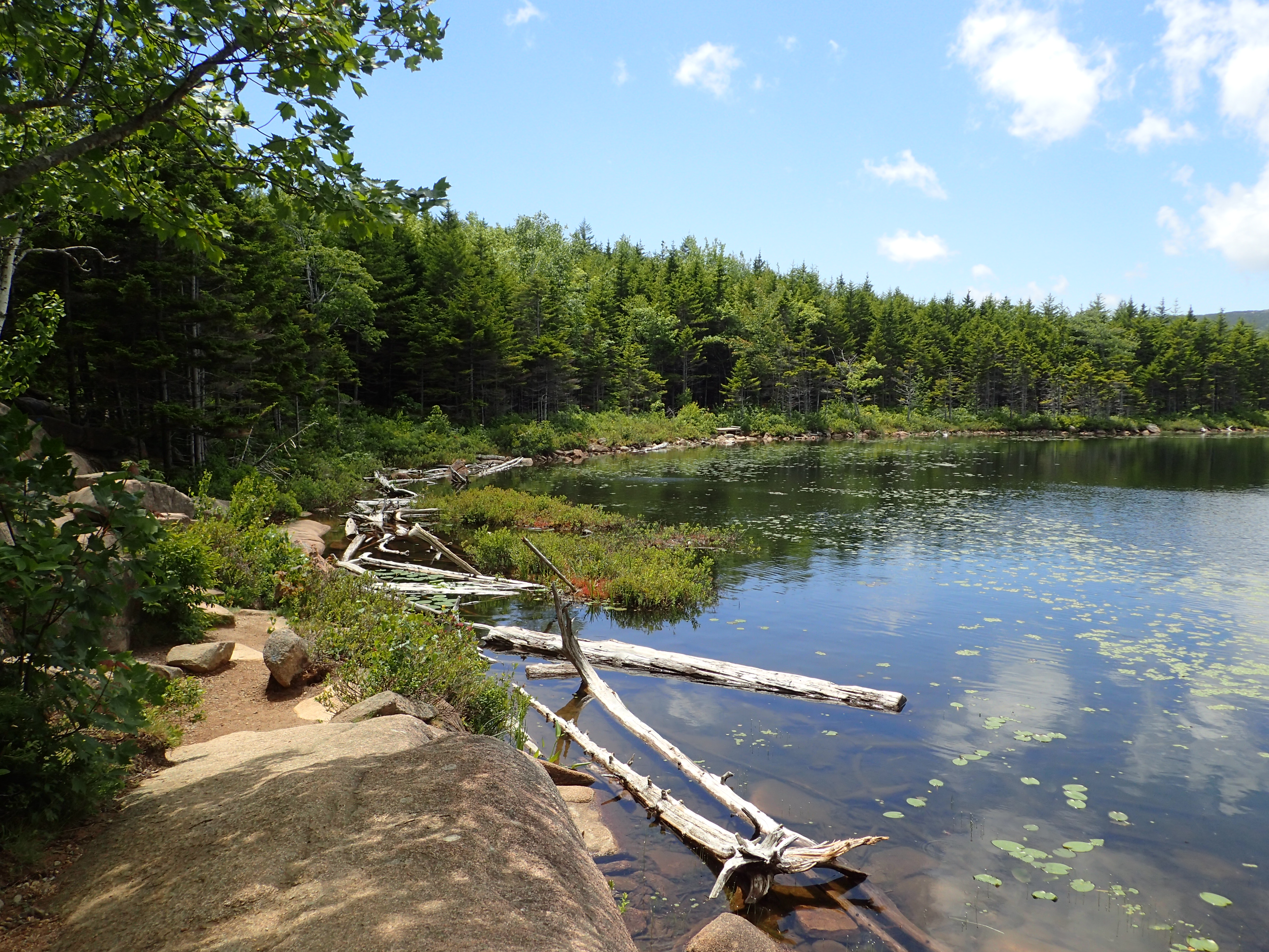
Even if you are only planning to do the Beehive trail you will still pass the Bowl on your way back down as most people only use the Beehive trail on the way up and not on the way down. The Bowl is situated in a beautiful spot and on this particular day there were even quite a few people swimming in the pond.

View of the Bowl from up on the ridge as we approached.
Once we reached the Bowl we didn’t stop long before continuing on our way around the perimeter on our way towards Champlain.
The trail leading around the perimeter of the Bowl.
The trail around the Bowl is most just a series of boards which leading you along the bank. The trail is flat and easy and best of all free of mud! Along the way you will also reach the junction pointing you along to Champlain or back down towards the Park Loop Road.

Junction pointing you on towards Champlain or back down to the Park Loop Road.
We kept on moving at a quick pace and reached the other side of the Bowl in no time.
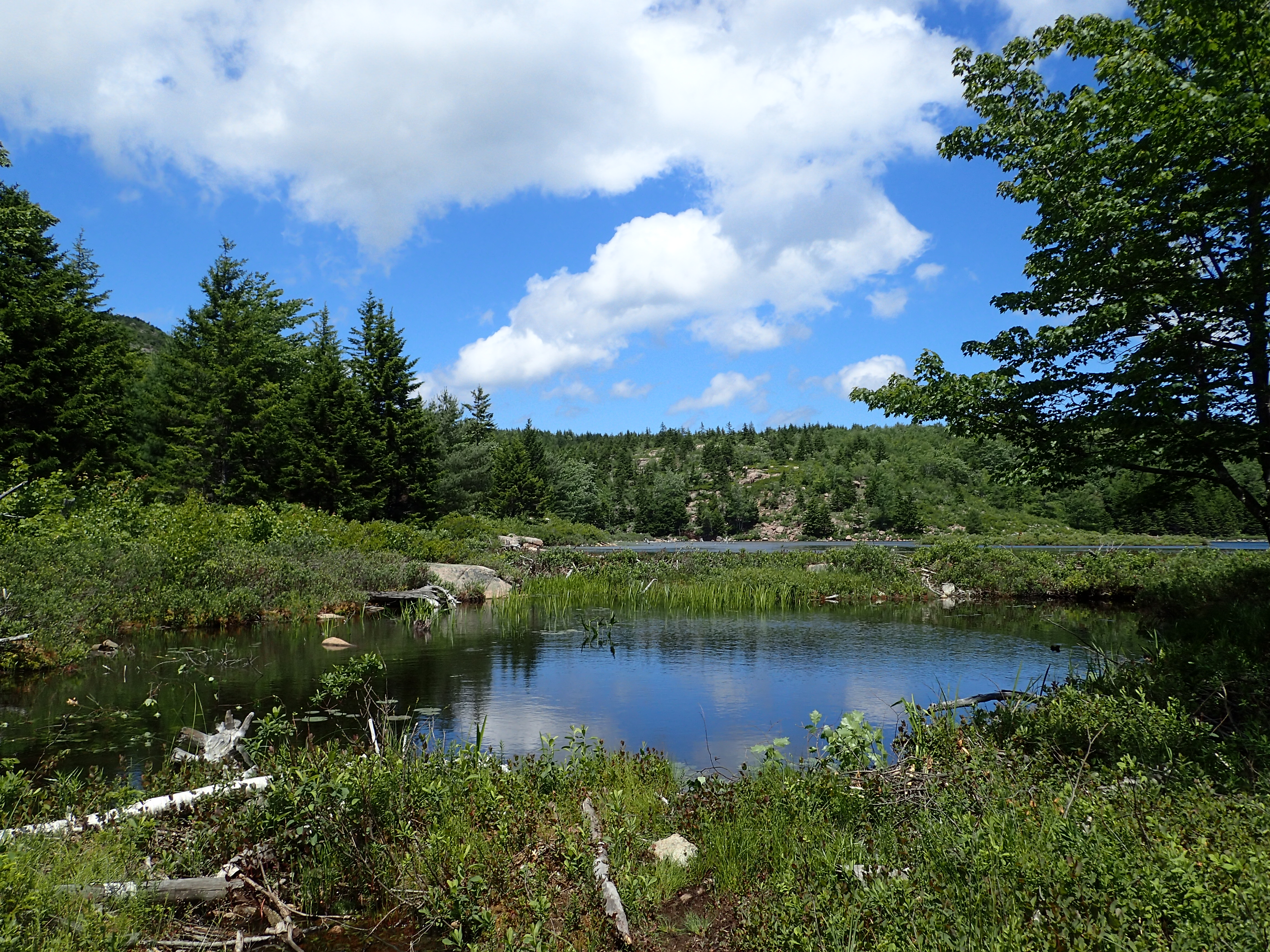
Reaching the other side of the Bowl.
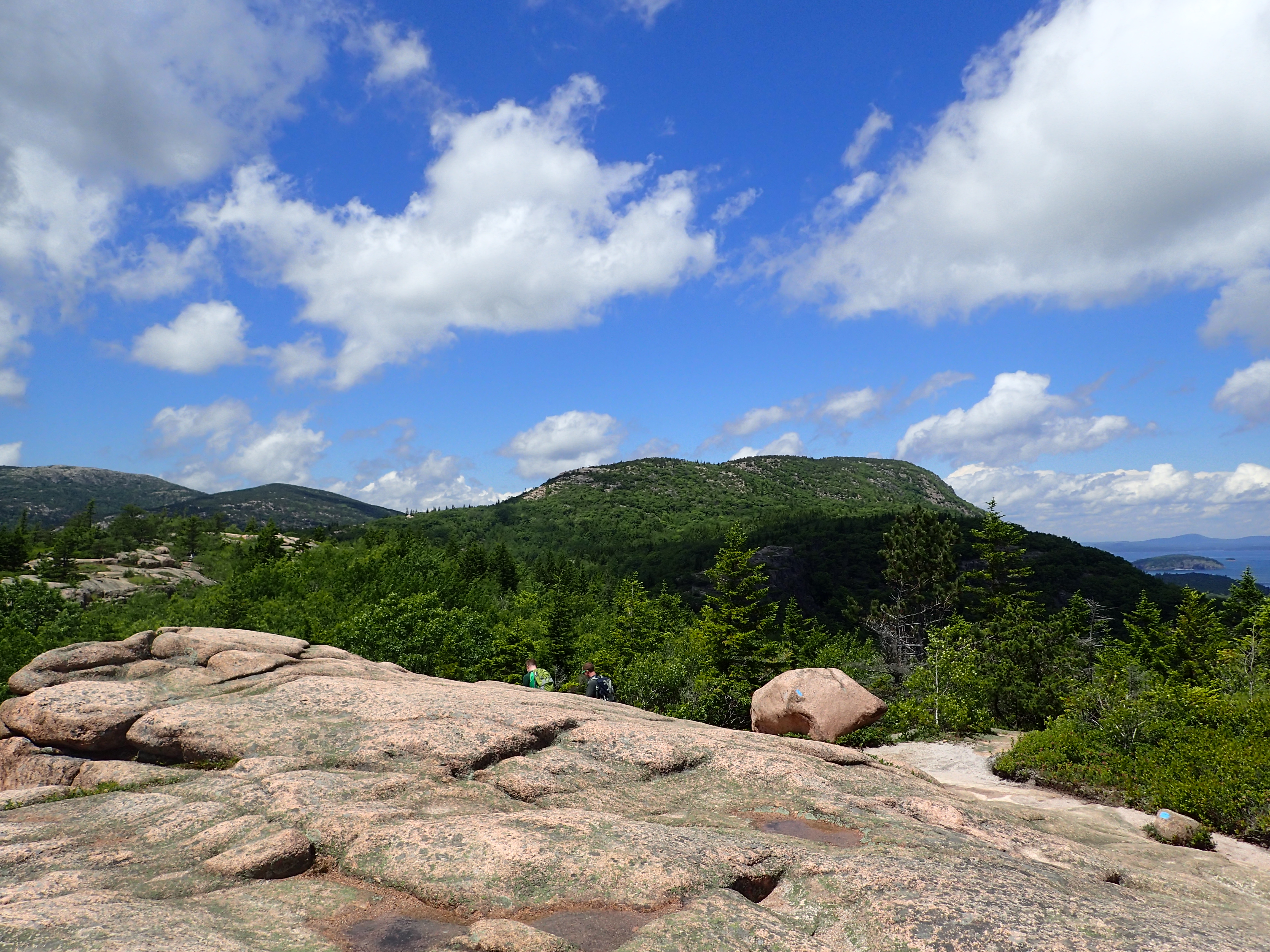
From here it is a pretty straight shot up the rocky ridge towards the summit of Champlain Mountain. The trail itself is marked with cairns and blue blazes which make it pretty easy to follow. There are a few parts where you need to scramble up a few rocks but for the most part it is a gentle hike up to the summit.
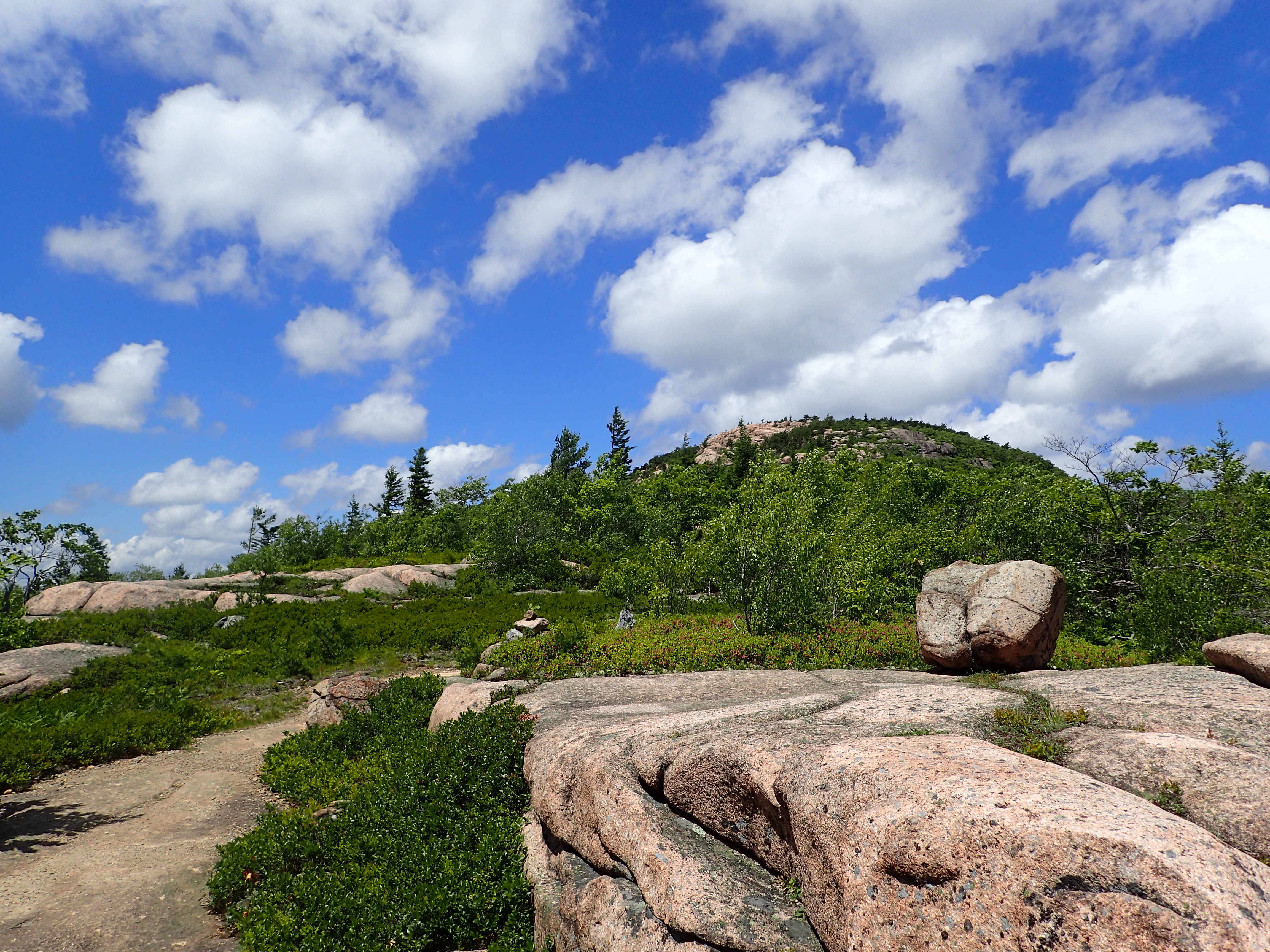
Looking up the ridge towards our final destination.
Looking back towards the Bowl from the ridge.
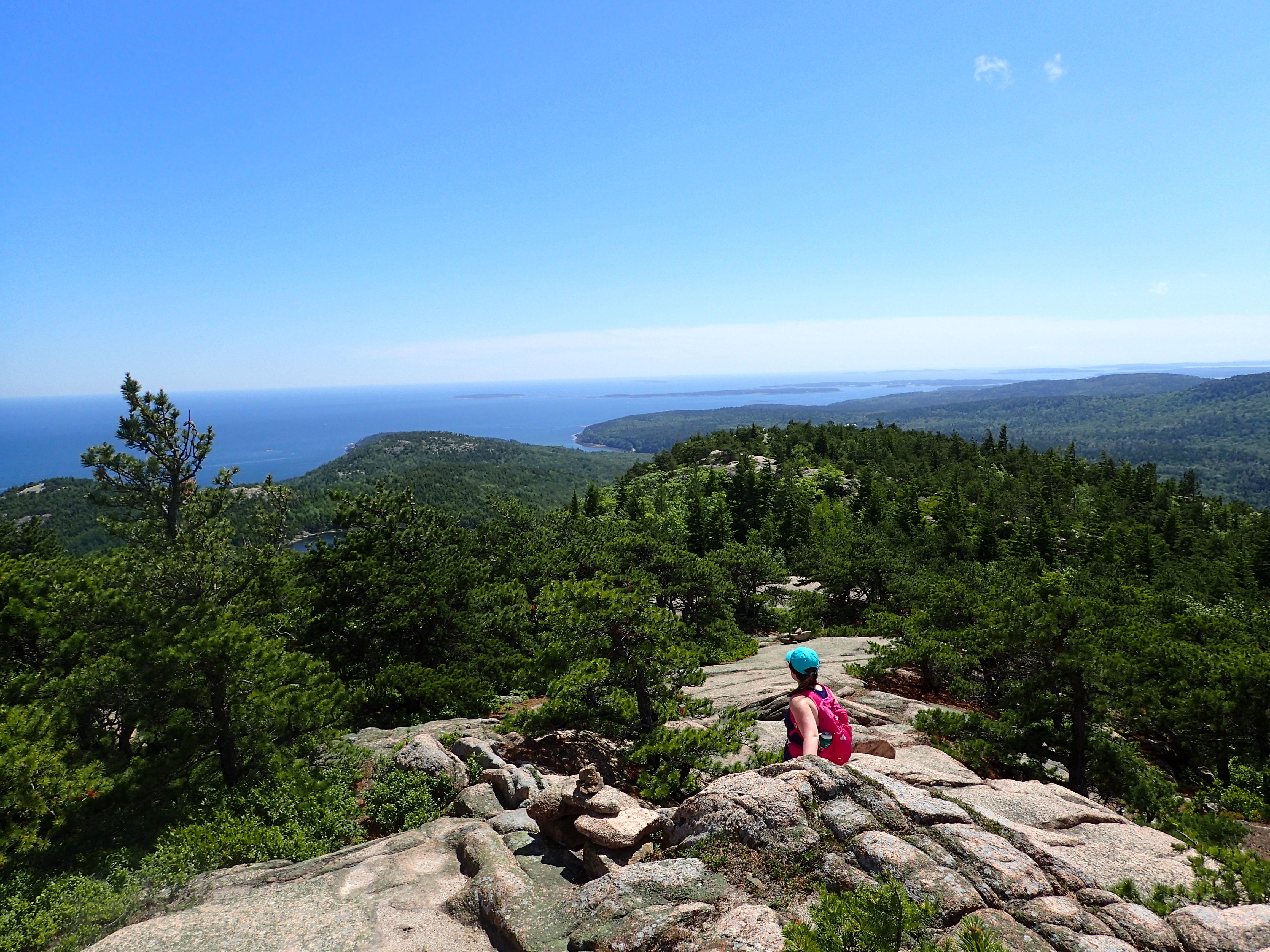
Kelly taking in the view along the trail.
Before too long we were making our final approach up to the summit of Champlain. A few clouds had rolled in at this point but luckily they didn’t last long and we had our sunshine back pretty quickly.
Final approach to the summit of Champlain.
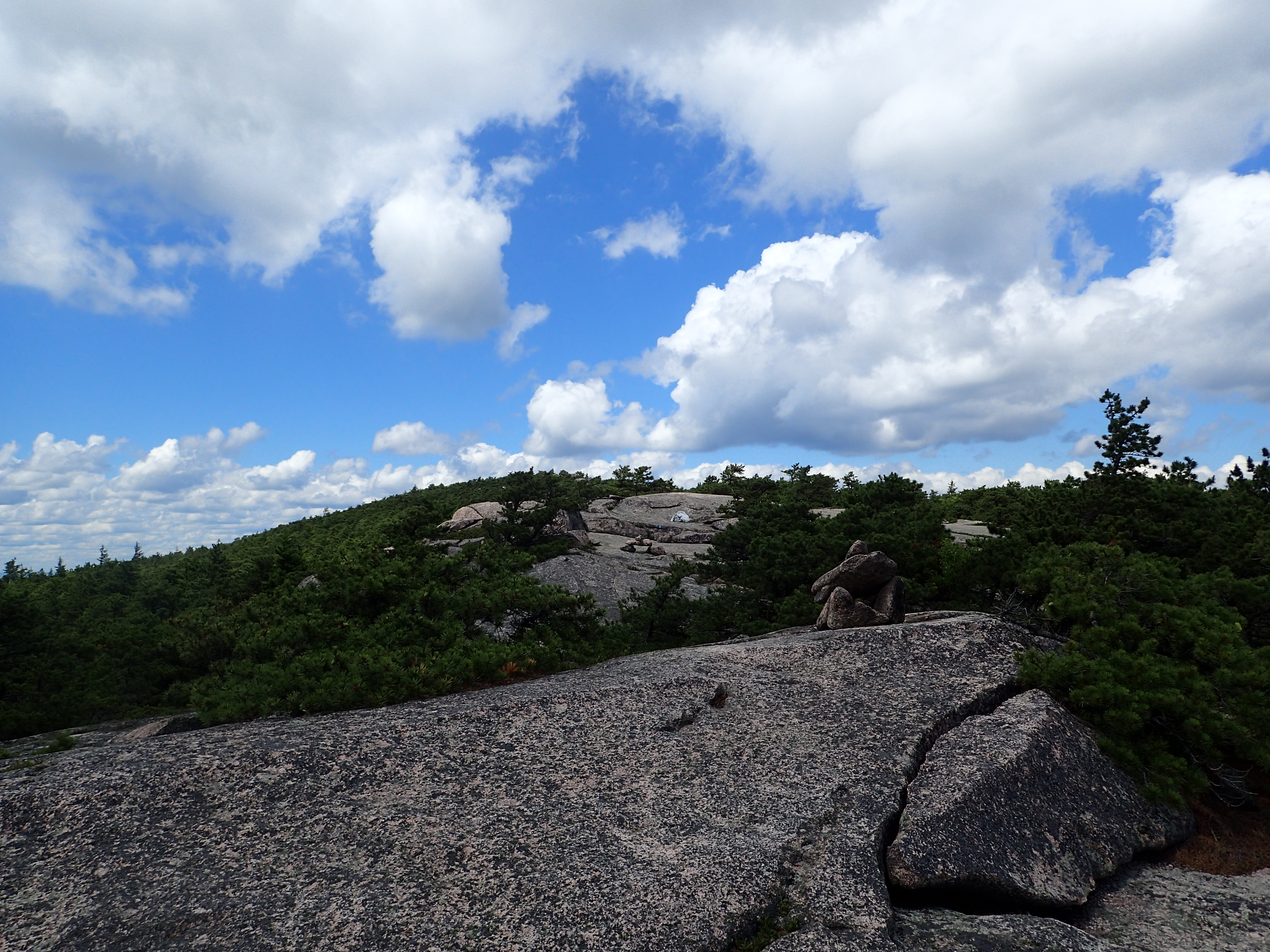
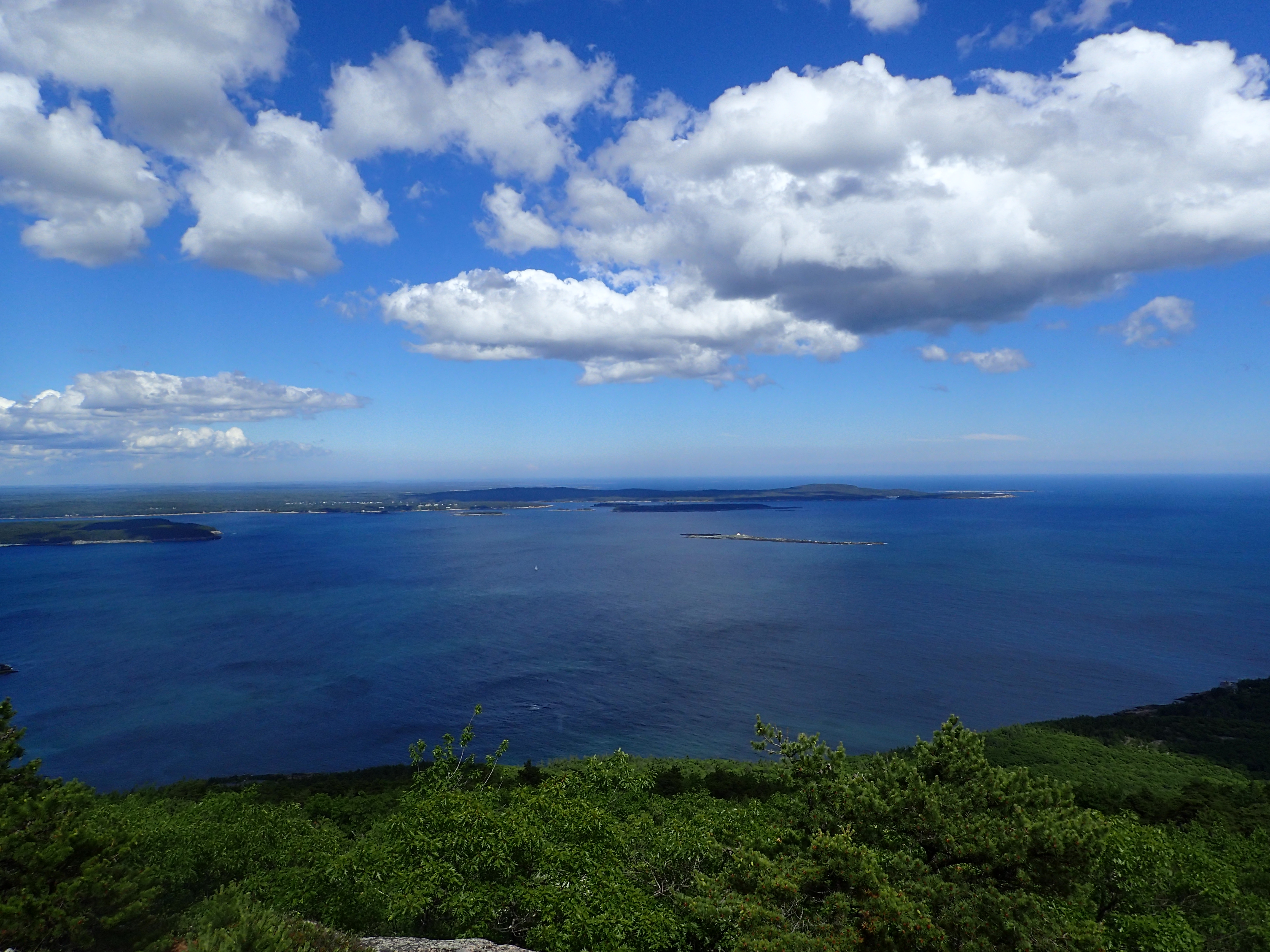
The summit itself is most rocky and offers beautiful views in every direction. There are also a ton of little rock outcrops where you can stop to enjoy the scenery. It was also very quiet and empty compared to other more popular and easily accessible locations in the park.
View of the top of the Precipice Trail from the summit of Champlain.
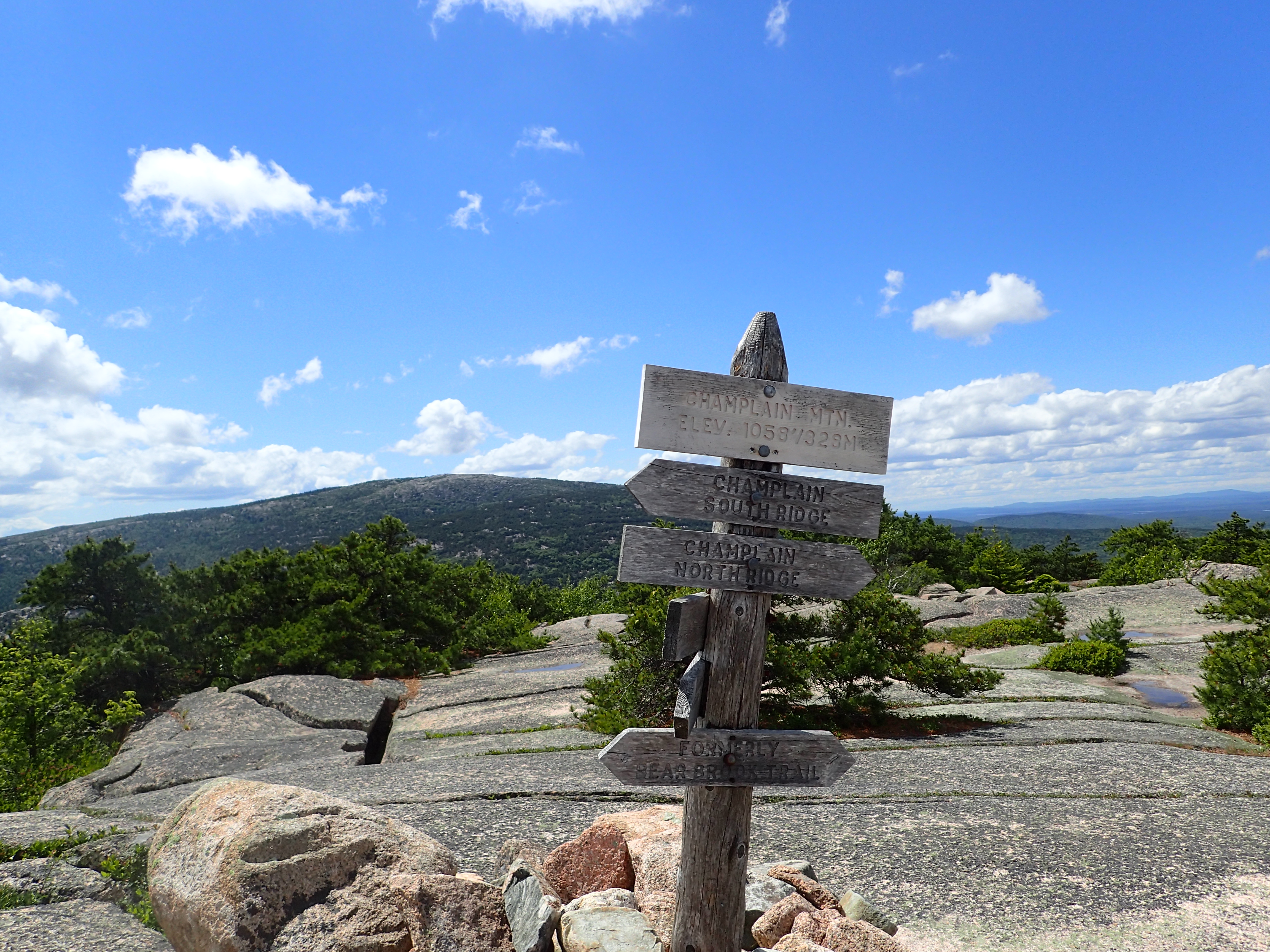
Sign marking the summit of Champlain.
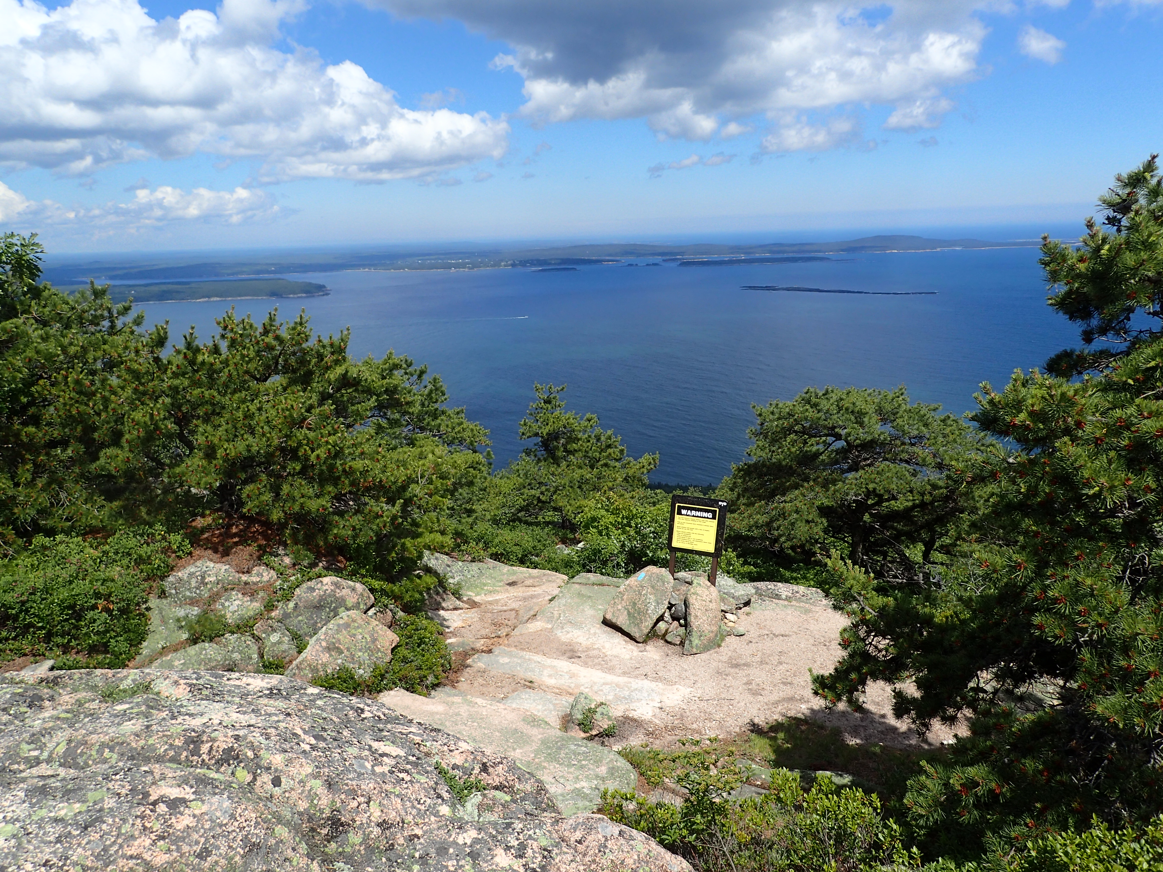
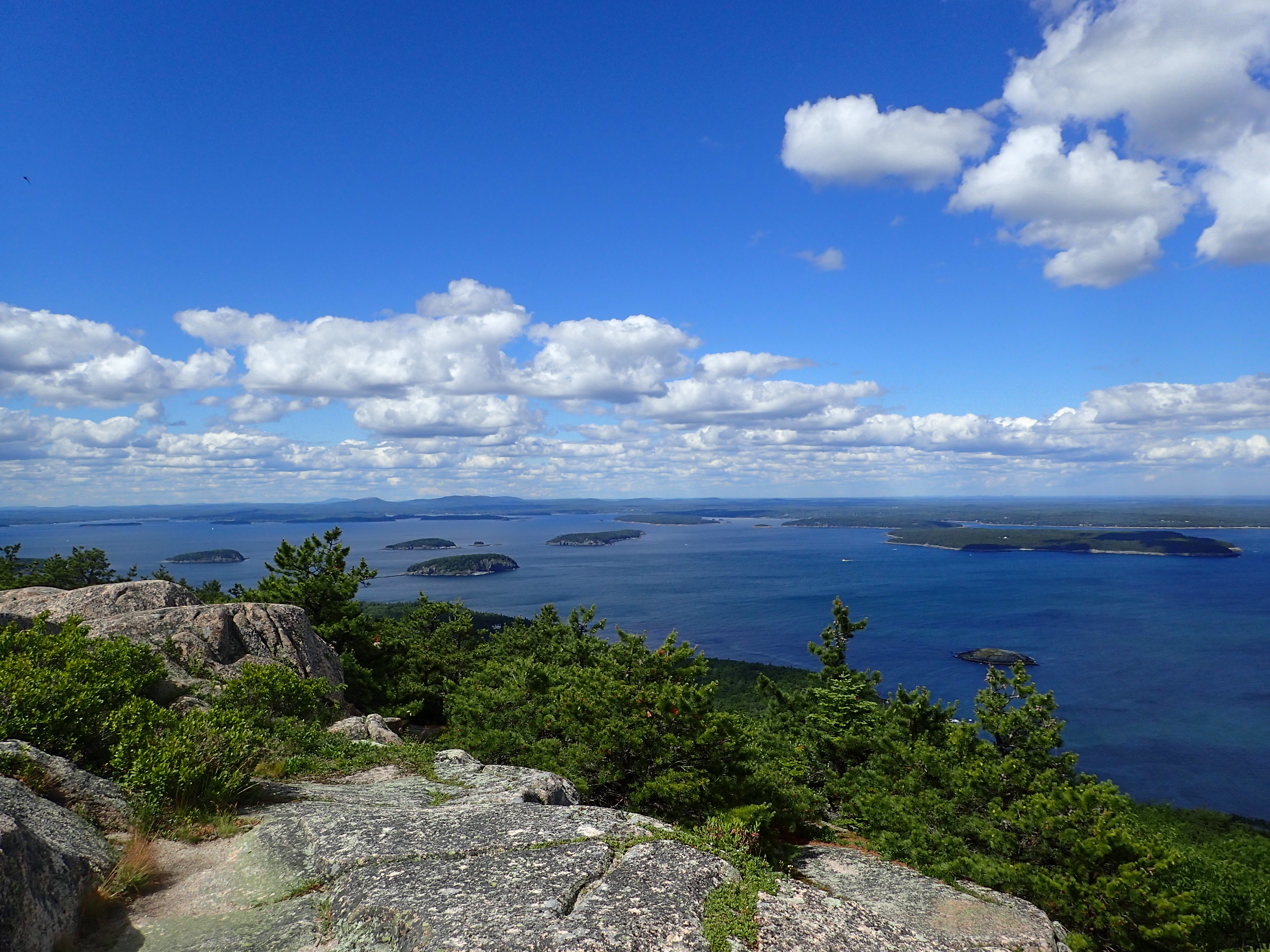
View from the summit.
View from the summit looking towards the islands and harbor.
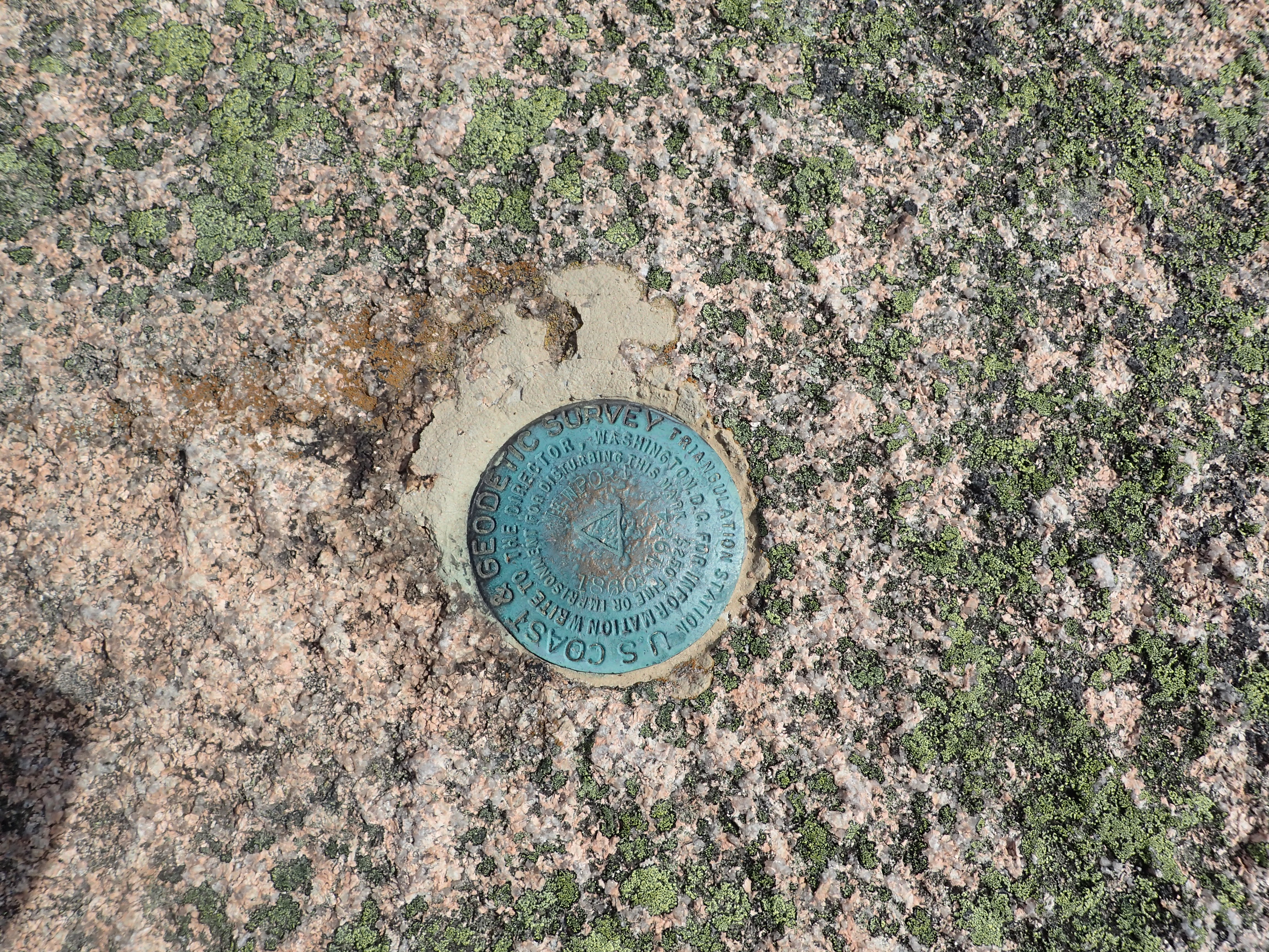
USGS Summit marker for the Benchmark Challenge!
After enjoying our time on the summit for a while we reluctantly worked our way back down the way we had come. Once we reached the junction at the Bowl we headed back down towards the Park Loop Road and a short series of trails through the woods deposited us back by our car. This hike is really one of my favorites in the park because it offers a little bit of everything and it really doesn’t require much effort which is nice. I would highly recommend it to anyone with a little bit of time to kill in the park.
As a bonus on our way back before heading to the campground to set up camp we decided to stop by the seacliffs and check out Thunder Hole, which was honestly pretty lack luster and crowded. However, the views in general from on top of the rocks was pretty fantastic.
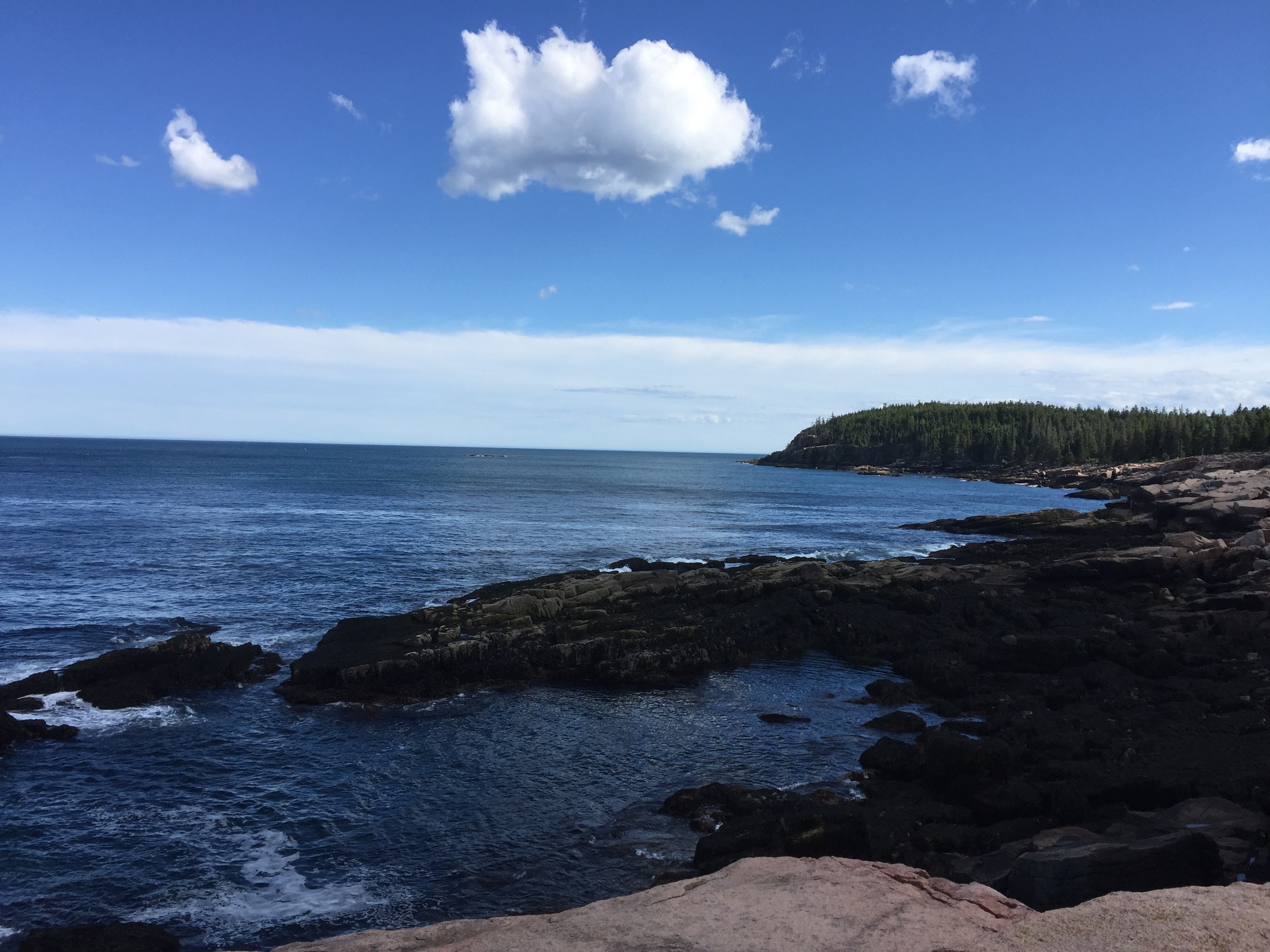
View from the rocky shore near Thunder Hole
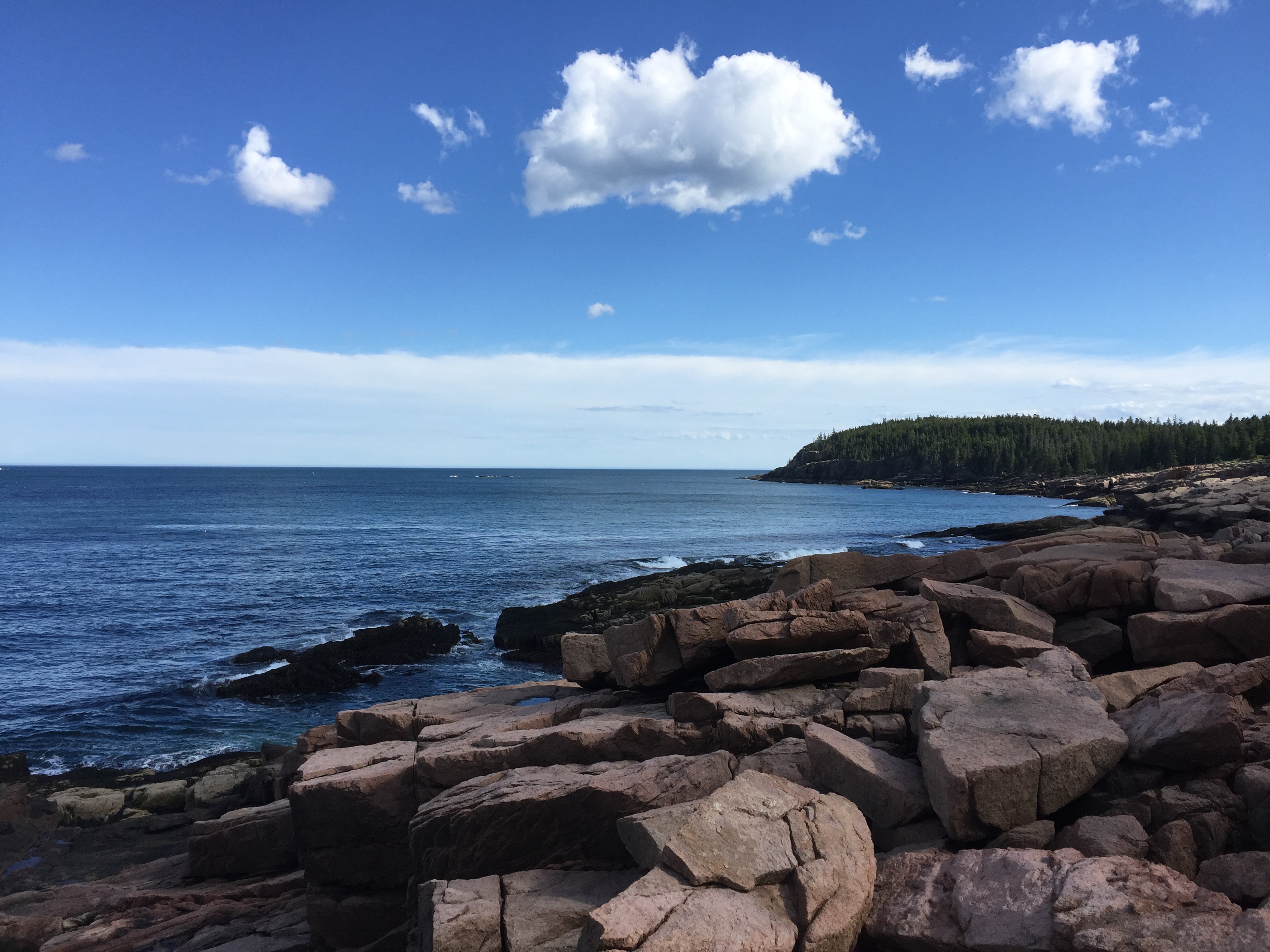
View from the rocky shore near Thunder Hole
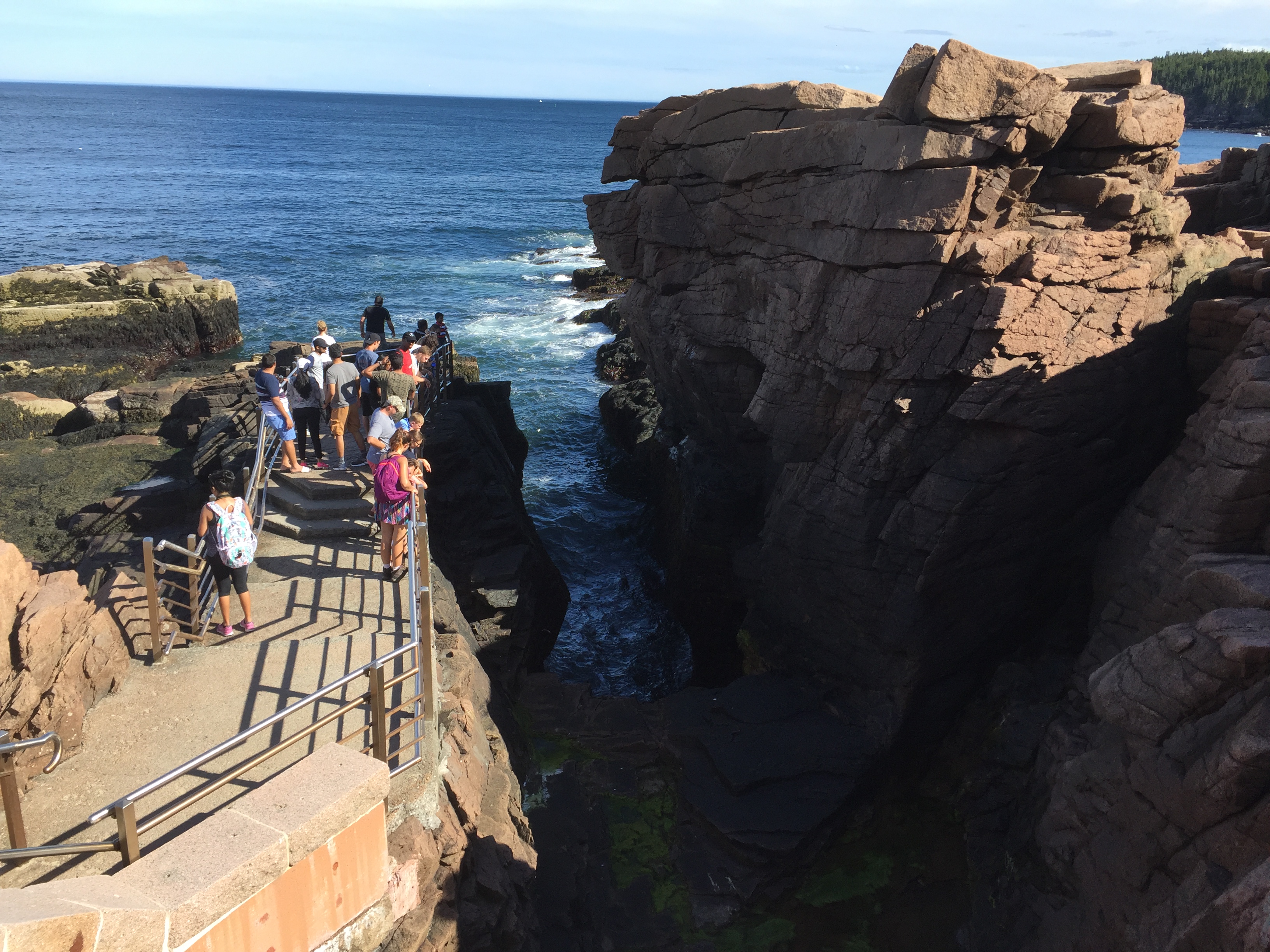
Thunder Hole
Categories: Acadia National Park, Maine, National Parks, Trip Reports

