
TRIP REPORT: Slide Mountain – Catskills, NY 5-21-16
Hiking stats at a glance:
Trailhead: Rt 47 DEC Parking Lot
Miles round trip: ~6
Total Elevation Gain: ~1,750 ft
One High Peak: Slide Mountain 4,182 ft (Highest Peak in Catskills)
Total Time: ~2.5 hrs
With the Victoria Day Holiday in Canada this weekend the hotels in the area of the Adirondack High Peaks were a bit over priced so we figured we would just make a short day trip up to the Catskills instead. We are very slowly chipping away at the Catskills 3,500 ft peak list and figured we should just get Slide Mountain out of the way since it is on the 3,500 list and the Northeast 4,000 ft peak list. The weather was also less than stellar south of the Adirondacks so this turned out to be a good plan for the day.
We arrived at the Slide Mountain trailhead at about 11:45 am and it was pretty much full when we arrived but there were a few spots available so we were still in good shape. I am sure if it were a nicer day we may have had a problem finding a spot.
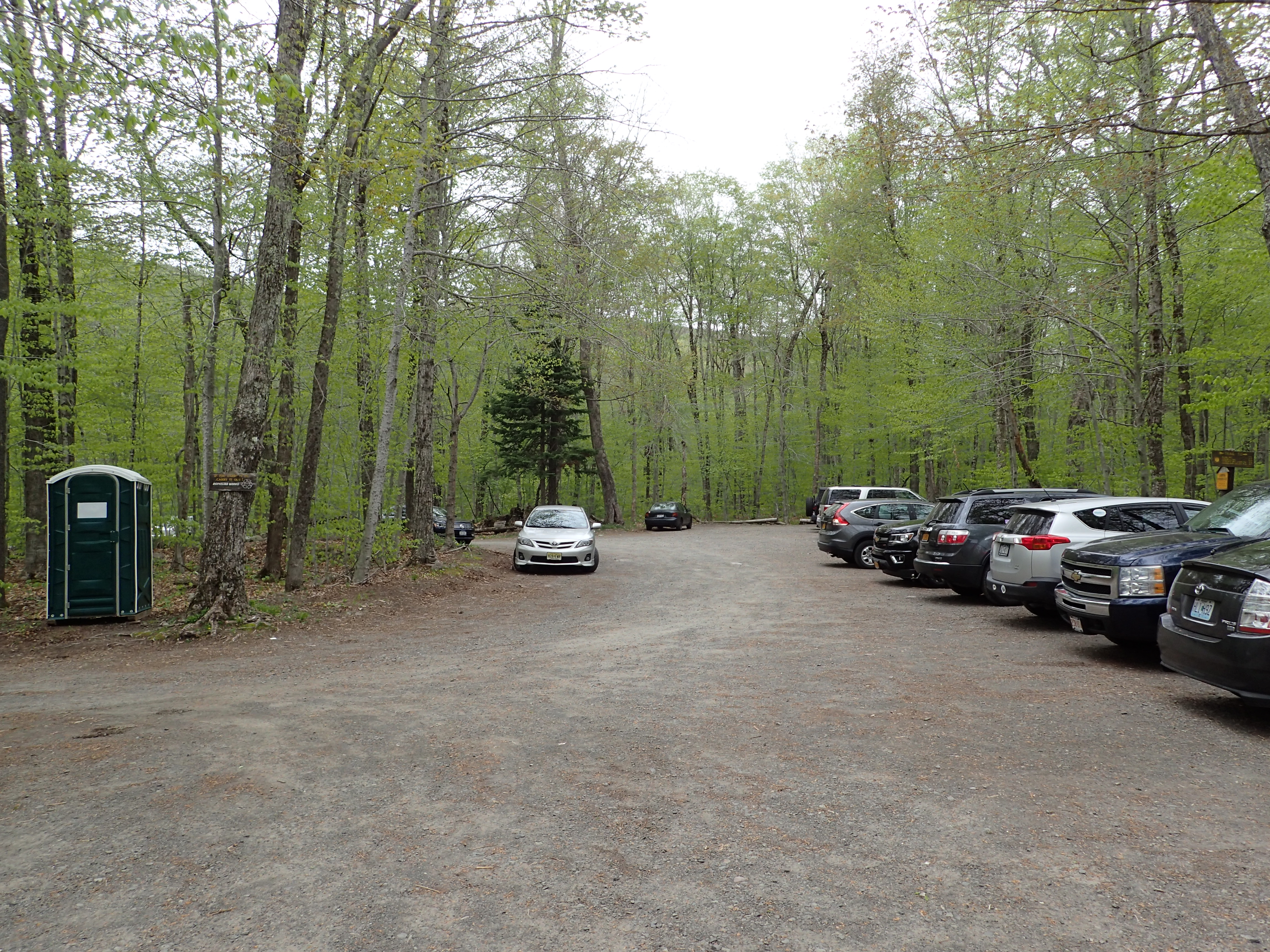
View of the Slide Mountain trailhead parking lot.
We geared up and headed over to the trail register in short order and were on our way in no time.

View of the trail register.
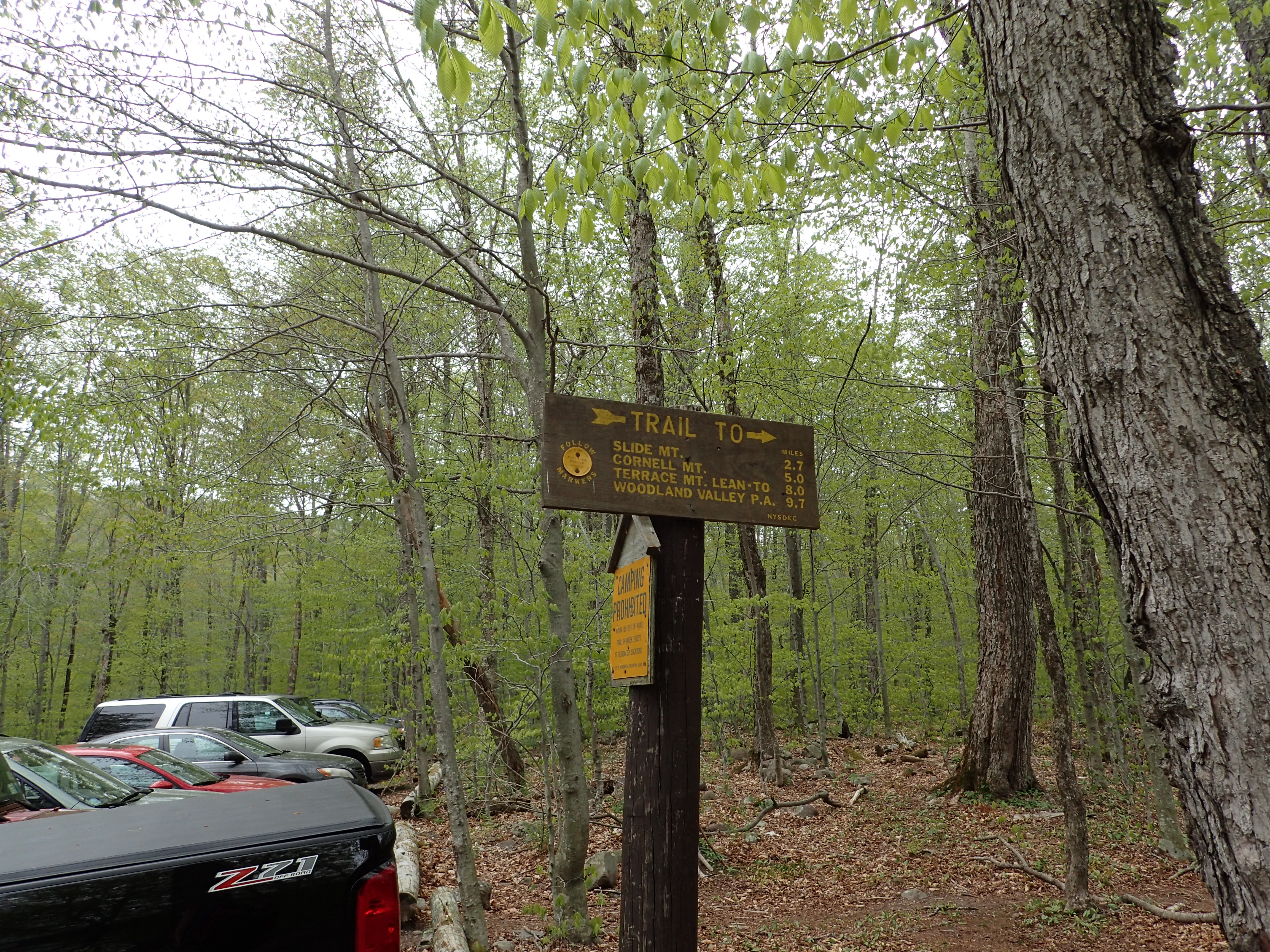
Sign at the trailhead marking 2.7 miles to the summit.
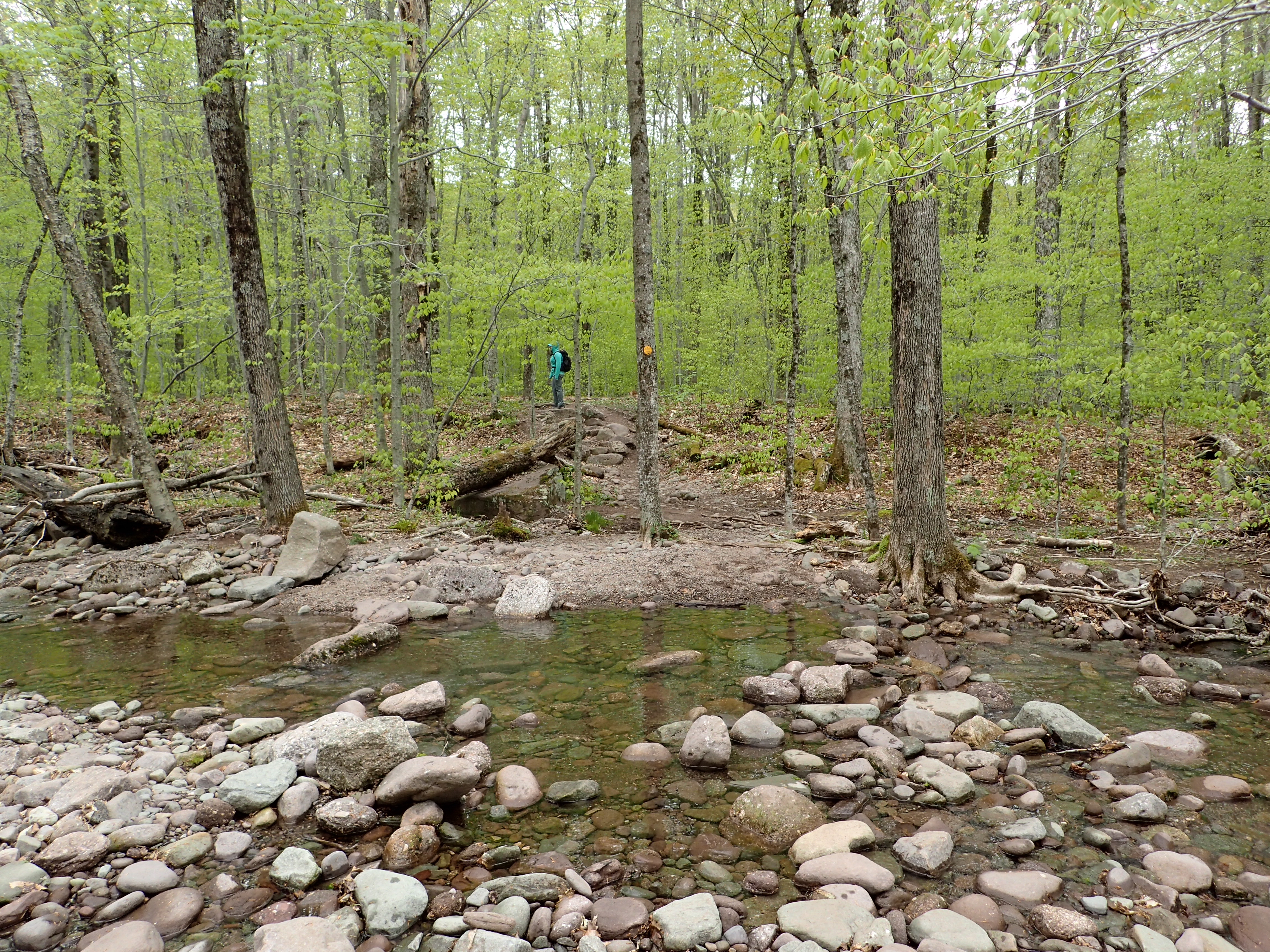
The trail starts out easy enough on relatively flat but rocky trail and right at the start is an easy brook crossing. I have read that after heavy rains this can become impassable but on this particular day it was just an easy rock hop to the other side.

Start of the trail before the brook crossing.
The very low brook on the day we hiked.
Another short section of trail brought us to the second small water crossing that was mostly a trickle.

Second water crossing of the hike.
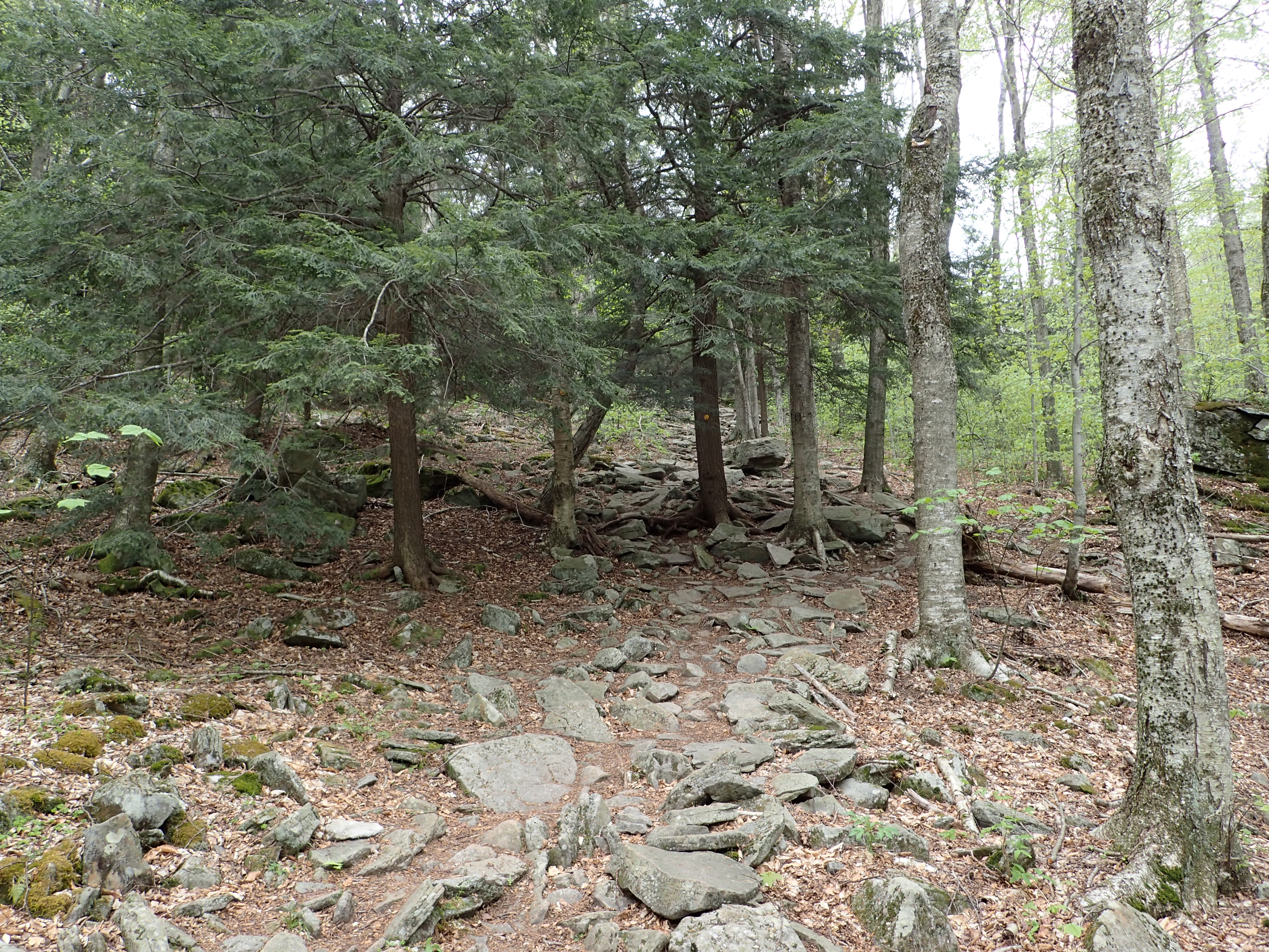
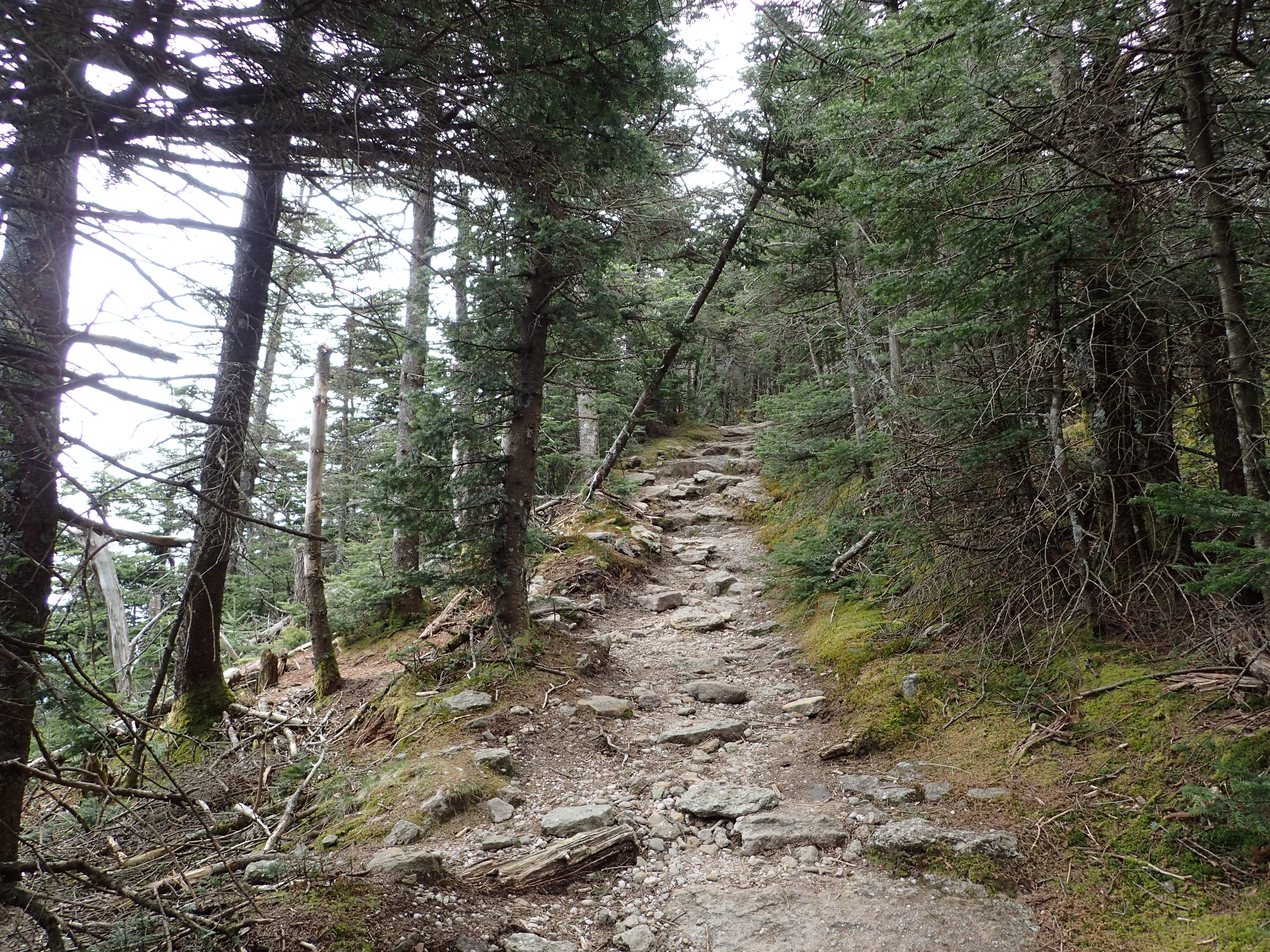
After this point the trail begins its gentle upward trend. The trail is very well defined and easy to follow so navigation was no issue at all but the trail was quite rocky throughout so running it could be a little less than fun.

Start of the trail working its way upwards.
The trail maintains a pretty low but steady grade as you work your way up towards the summit which is nice but it did get a bit monotonous. The amount of talus to hike over though did keep things at least a little interesting throughout the beginning of the hike.
View of the start of the trail.

The trail starting to really get rocky.
After about half a mile the trail gets a little bit steeper as you make your way to the first trail junction. Once we crested the top of the hill we met the junction with another flatter, smoother and more worn trail.

Last section before the trail junction.
At this junction we made a right and continued on our way down the trail. This section was relatively flat and free of the big talus we had been hiking over up to this point.

View of the trail after the junction.
However, in this section there were a few short muddy parts that were generally easy to avoid with a little rock hopping. The mud wasn’t a factor all day and if you are used to hiking in some other places like the Adirondacks, there might as well be no mud at all.

View of one of the short muddy sections.
After we passed the mud spots we reached the next trail junction at the 0.7 mile mark on the hike.

View of the second trail junction.
The trail from here was more of the same we experienced at the start of the hike and was still quite easy and pleasant as we made our way upwards.

View of the trail after the junction.

View of a flower along the trail.
However, the trail did get pretty dull at this point as the trail went almost straight up the side of the ridge reminding me of hiking up the old Marble Mountain ski slope of Whiteface, but just not as steep. Luckily though it didn’t take too long before we reached the magic catskills 3,500 ft elevation mark.

3,500 ft elevation marker.
As we worked our way up in elevation the landscape began to change and we knew it wouldn’t be much longer before we reached the summit. My favorite part of hiking in the Catskills is when I get to the higher elevations.

View of the trail as the landscape was changing at the higher elevation.
Before too long we also reached another trail junction with the Phoenicia East Branch Trail which is an alternate route up to this point. When we reached this point we just kept going onward and upwards.

Trail junction with the Phoenicia East Branch Trail. Keep heading straight to go to the summit.
One more steep section along the ridge brought us to the first views we had all day. The view was obstructed but it was still nice to have something to look at after not seeing much else interesting up to this point.
Final approach towards the summit.
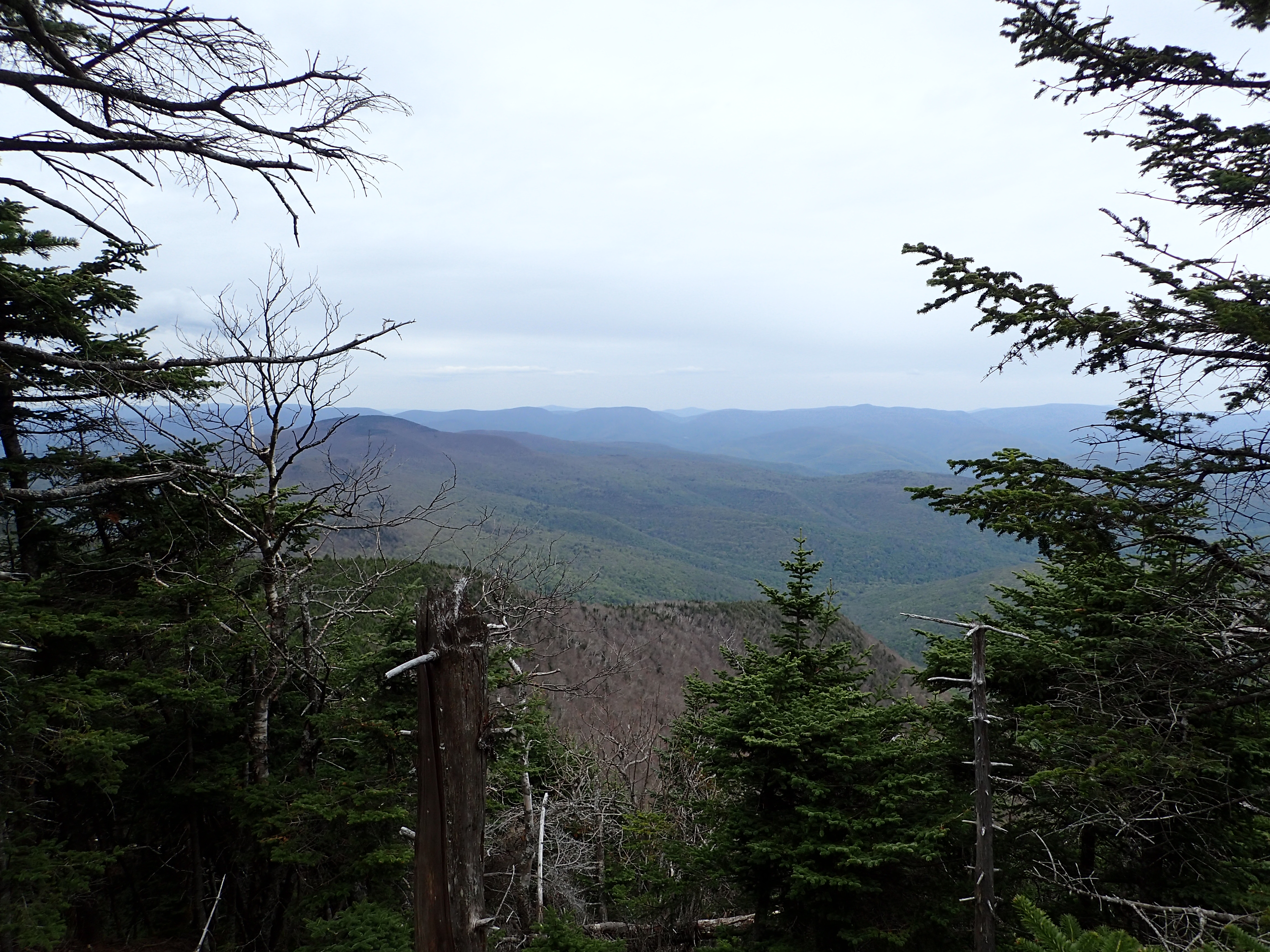
First view we had through the trees.
A little bit past this spot we reached a rock ledge that offered more views that were slightly less obstructed. This ledge is very close to the summit and actually offers probably the best views as the summit itselfs is completely in the trees.

View from the ledge near the summit.
A little bit past the ledge we reached the summit itself which is very anti climactic. A large concrete block in the center of the trail marks the summit. This block used to be a footing for a fire tower which stood on this location sometime way back when.

The summit of Slide Mountain.
We walked a little ways past the summit and came to another large ledge in a small clearing. This ledge used to have some of the best views in the Catskills but due to the trees that now cover the peak the views are no longer there. However, you can get a small peak through the trees and from that you can imagine they must have been pretty great. On the base of the ledge is also a plaque dedicated to John Burroughs.

Large rock ledge just past the summit.

Plaque at the base of the ledge dedicated to John Burroughs.
We lingered only a little while on the summit before heading back the way we had come. We made the descent quite quickly without incident and finished the whole hike in just under 3 hours. Luckily the weather held despite the clouds and all in all we had a very nice, albeit short, day in the mountains. Slide was overall a pretty easy hike and worth doing, but if you are purely looking for views you may want to consider other Catskills peaks before this one. I was glad to get one more Northeast 4,000 footer completed and look forward to coming back soon to get some more peaks checked off my Catskill 3,500 list!
Categories: Catskills, New York, Trip Reports

