
TRIP REPORT: Mt Marcy – Adirondacks, NY 4-16-16
Hiking stats at a glance:
Trailhead: Adirondack Loj
Miles Round trip: ~15
Total Elevation Gain: ~3,500
1 High Peak: Marcy (5,344 ft)
Weather: 50-60 Degrees (Summit), ~5 mph winds, Bluebird Day
Although this was my third trip up to the summit of Mt Marcy it was by far the best weather day I have had out of all of them. The sun was shinning bright and throughout the day the weather only got better and better. A few friends had invited me along for this trip and since Kelly still needed Marcy for her 46 it sounded like a good plan to me. We spent the night at the Loj Wilderness Campground which was also a first for me and I was pleasantly surprised by how nice it was. For some reason I thought it would be worse but at least this early in the season it wasn’t very crowded and minus the group yelling until 3 am a few tents down, it was very peaceful. The temps floated in the twenties overnight but we stayed comfortable in the four season tent.
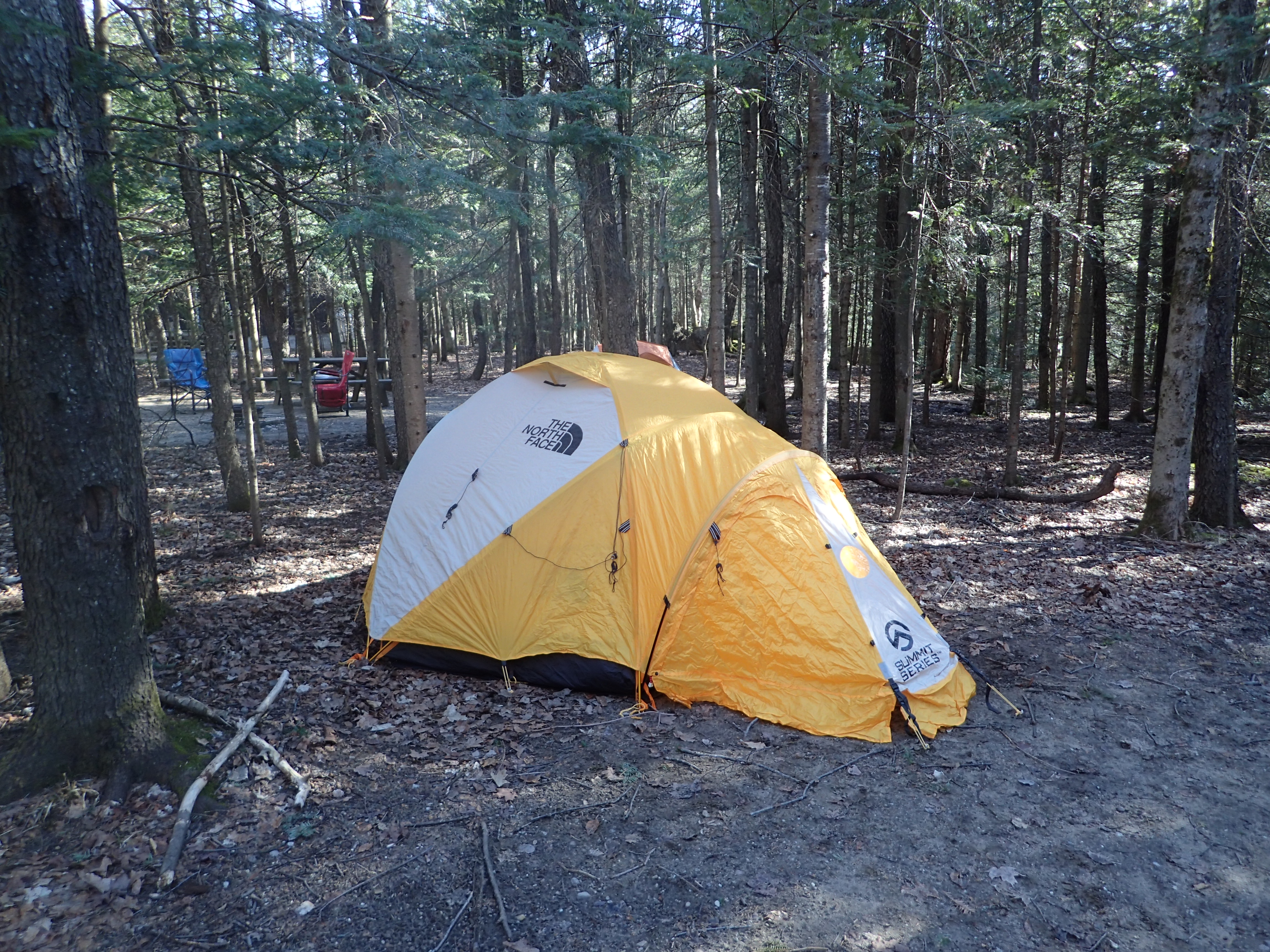
It felt like spring during the day and winter at night.
We woke up much later than I usually would for a hike but since I wasn’t driving home the same night for a change it didn’t really matter. We enjoyed a hot breakfast and signed in at the trailhead at 9:15 am. The morning was still brisk but with the sun rising it was warming up quickly.

Start of the trail from the register.
The one benefit of the overnight chill was that the mud was thankfully frozen solid in the morning which made for a much more pleasant start. Unfortunately we wouldn’t be so lucky on the hike out but what can you expect from mud season. After a very short section we came to the intersection with the ski trails and just kept heading straight towards Marcy Dam.
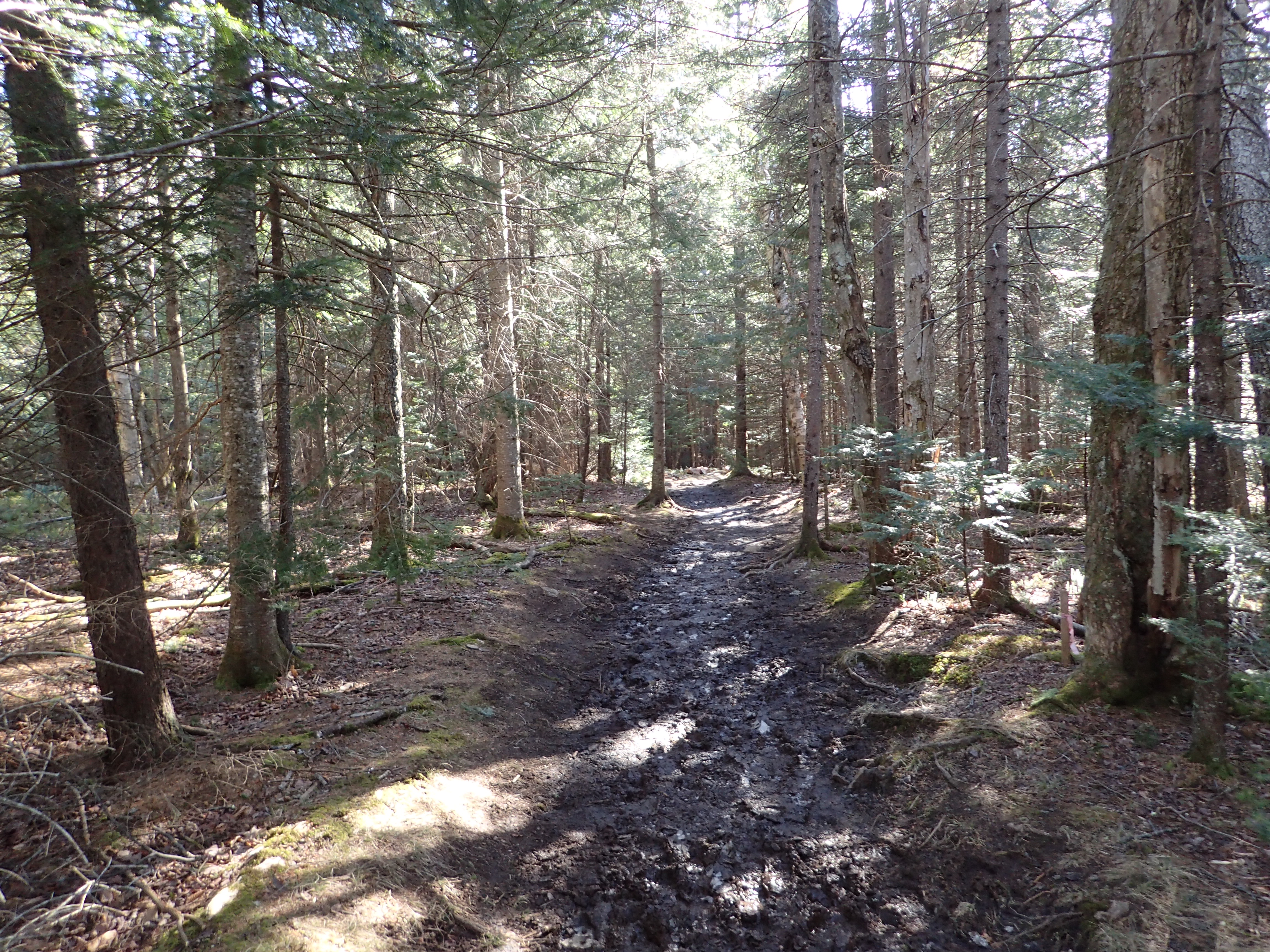
The only good mud is frozen mud.
After another short section we reached the leaning walkway over the wetland. I feel like every time I see this bridge it is leaning more and more but it could just be my poor memory.
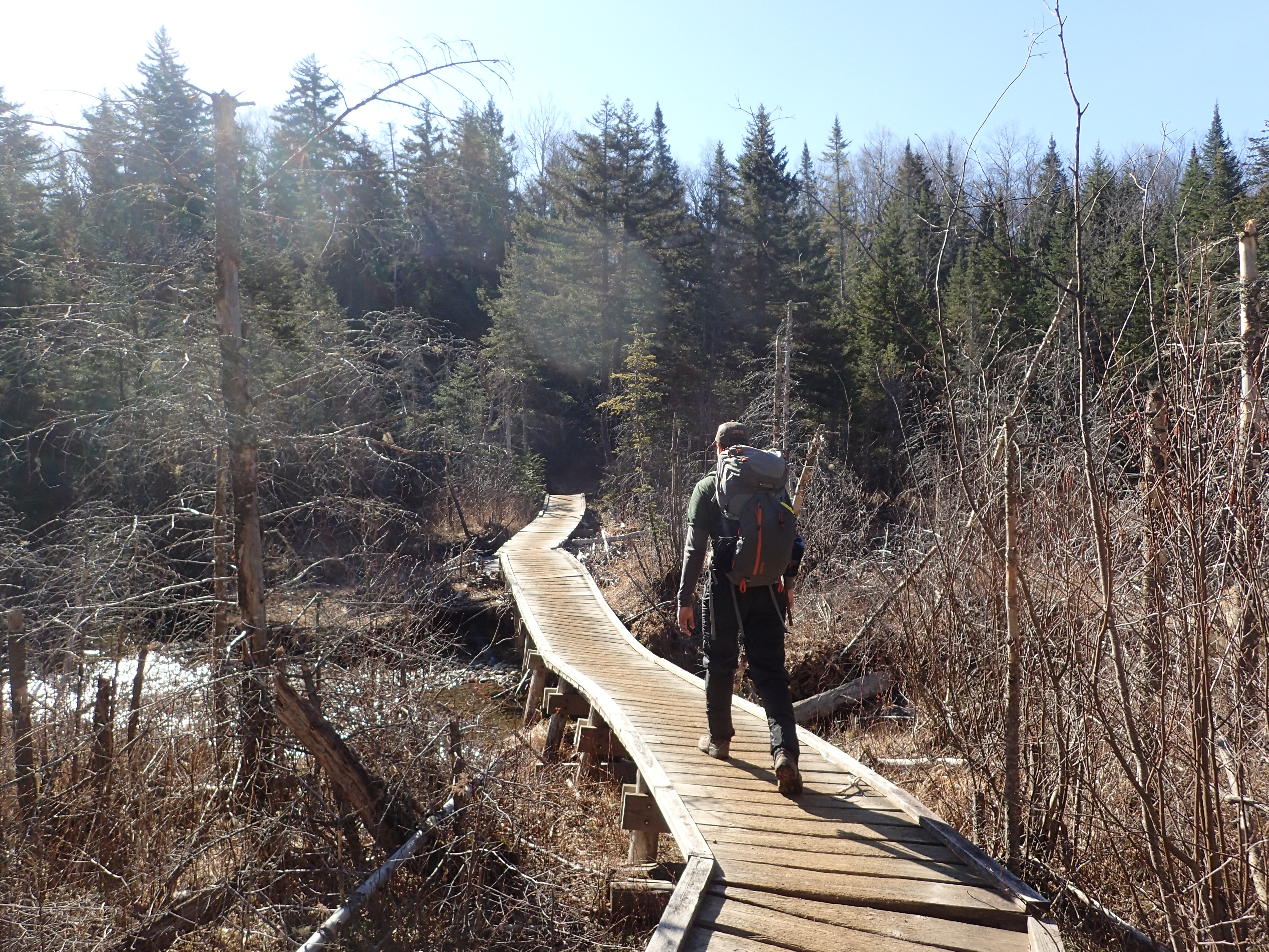
Eric crossing the leaning bridge.
This section of trail leading to Marcy Dam is pretty dull in my opinion but it may just be because I have hiked it way too many times but it is easy to follow and fairly flat so it is easy to make good time. Before too long we reached the sign marking the border with the High Peaks Wilderness area.
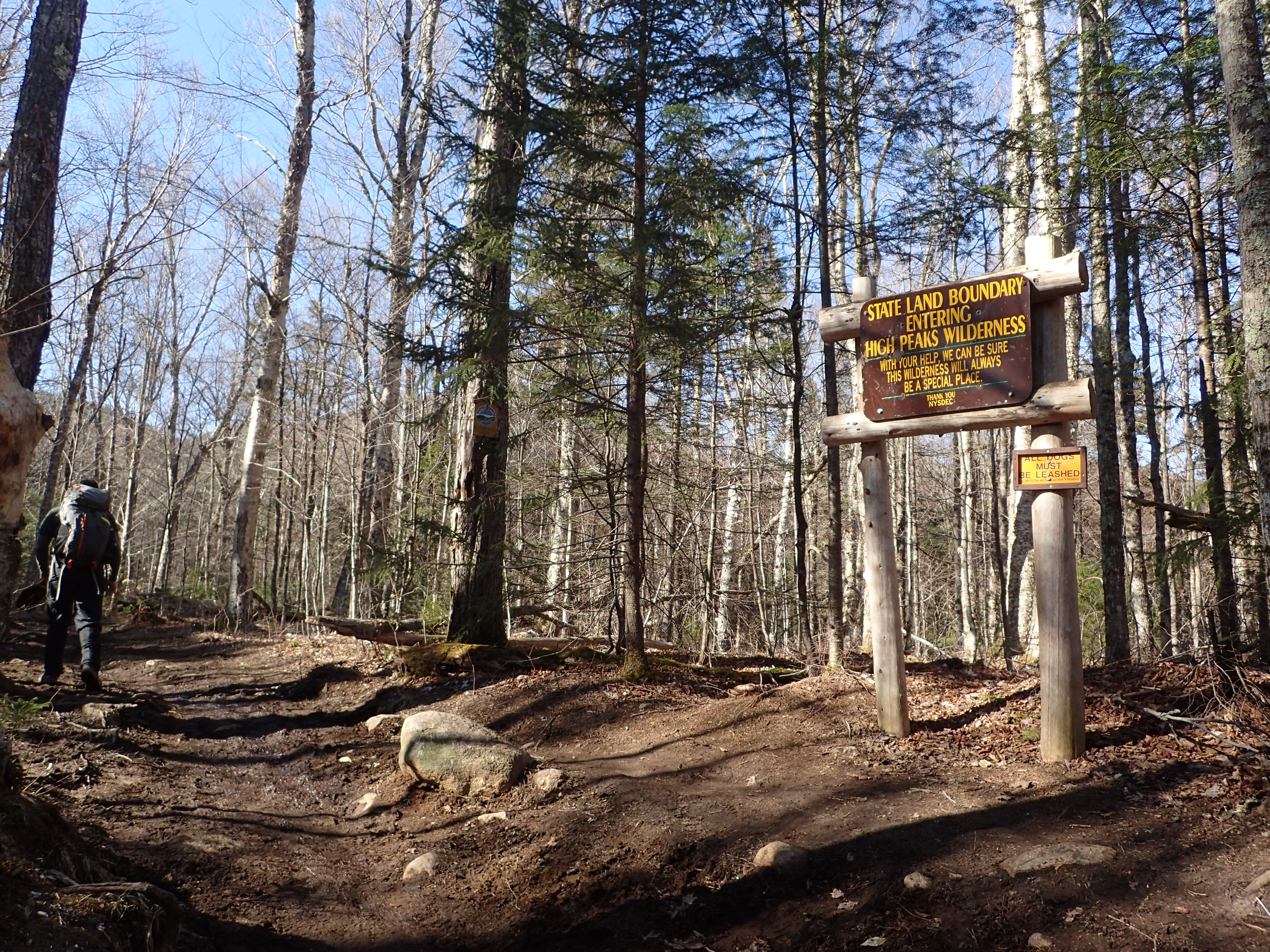
High Peaks Wilderness Boundary
At the end of the first 0.9 mile section we reached the first junction of the day. We were making great time and just kept moving down the trail, making a left to follow the trail for Marcy Dam.
First junction at 0.9 miles.
The next section of trail between the junction and Marcy Dam is more of the same but with slightly more rolling hills. This area had by far the worst mud on our hike out but luckily it was still frozen solid in the am.

View down the trail between the junction and Marcy Dam.
We reached the dam in what felt like no time. This spot never really gets old but it was also nice to see it with new people who had never been.
Jeff taking in the view of Marcy Dam for the first time.
We didn’t linger long on this side of the dam and instead worked our way down to the bridge to cross over to the other side which in my opinion has much better views.
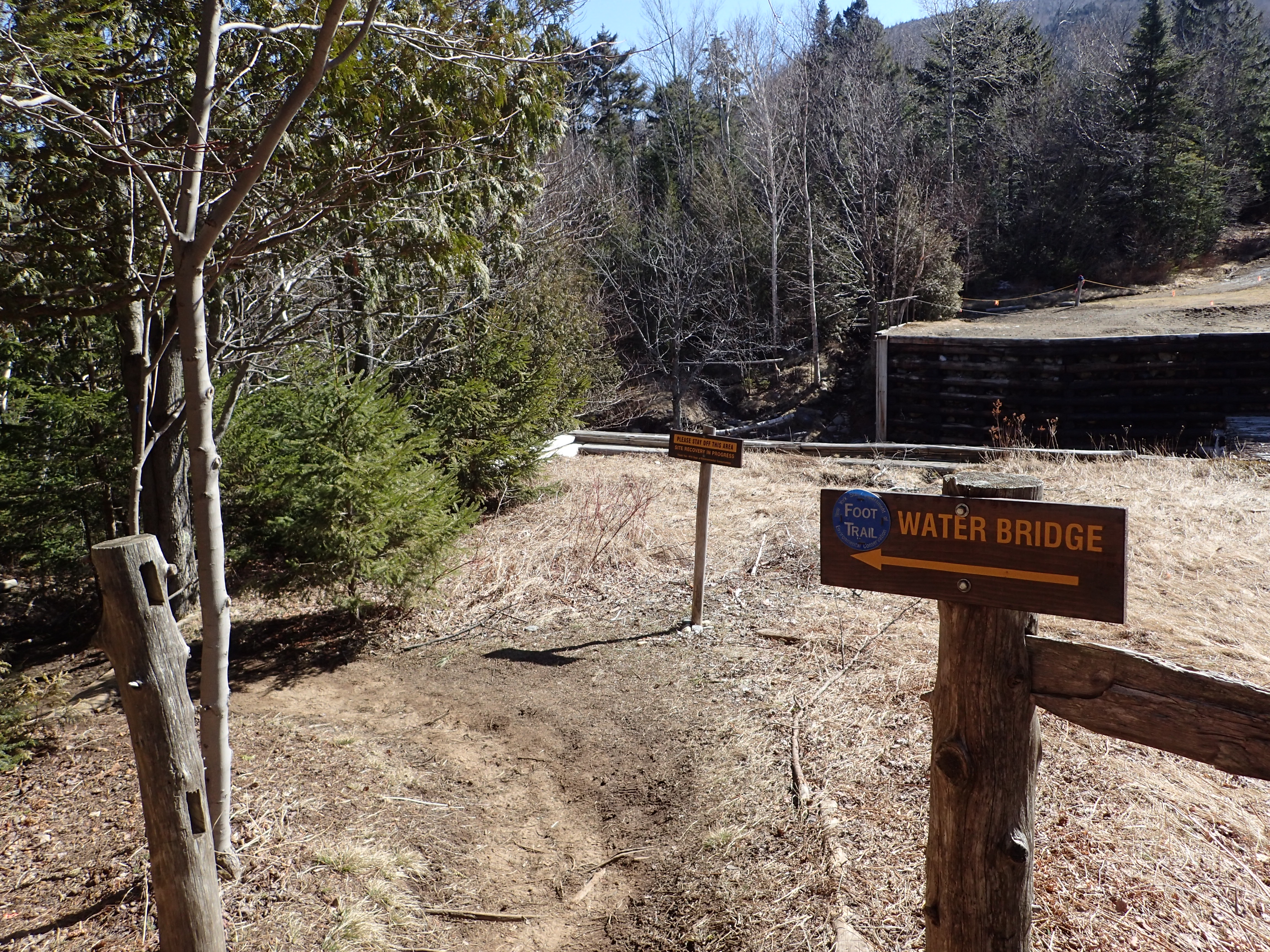
Junction pointing you to the water bridge.
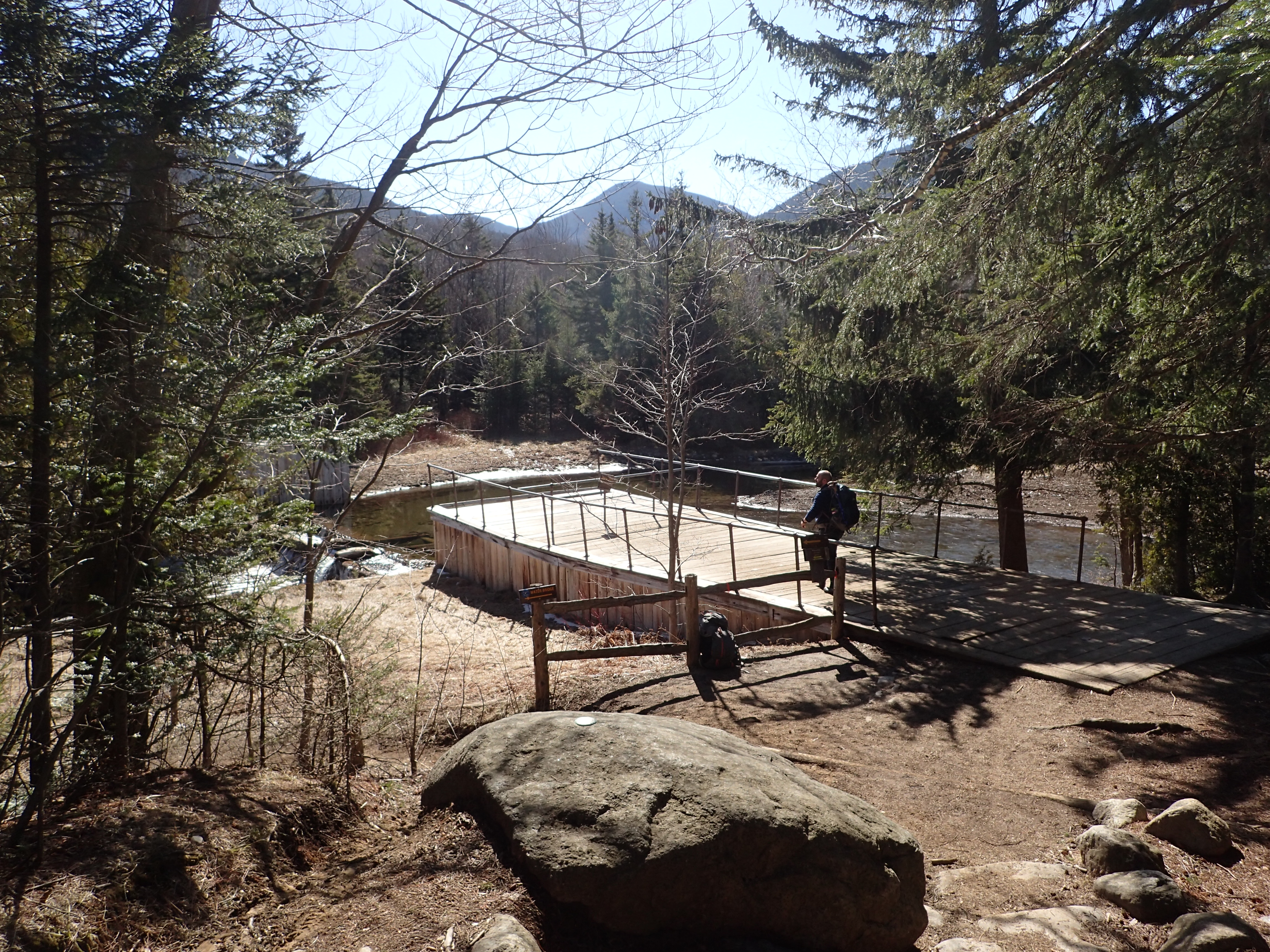
The bridge is only a couple hundred feet downstream and is still only a few years old so it is in great shape. The bridge also offers a nice view of the old dam and the brook flowing from it.

Looking across the water bridge.

Looking upstream towards the dam.
After crossing the bridge we reached another trail junction and made a right to head back up towards the dam.

Hang a right at this junction to head back towards Marcy Dam.
Once on the other side of Marcy Dam we stopped for a few minutes to take in the view and adjust our gear. It had gotten quite warm already and adjusting layers was high on every ones to do list.

View from Marcy Dam.
After getting settled we got back to it and headed down the trail. At this point by the dam there are quite a few trail junctions to navigate. The only thing you need to do is pay attention for a few minutes and keep following the Blue marked trail heading to Mt Marcy.
Junction 1 heading around the Marcy Dam area.

Junction 2 heading around the Marcy Dam area.

Junction 3 heading around the Marcy Dam area.
After another short section of trail we reached one of my favorite water crossings in the area. This crossing offers a great big boulder in the middle of the brook which offers a great place to stop to dunk your feet, collect some water, or just listen to the water pass by from a nice spot. Just be considerate of others and not block the whole path with your stuff and bodies.

Brook crossing.
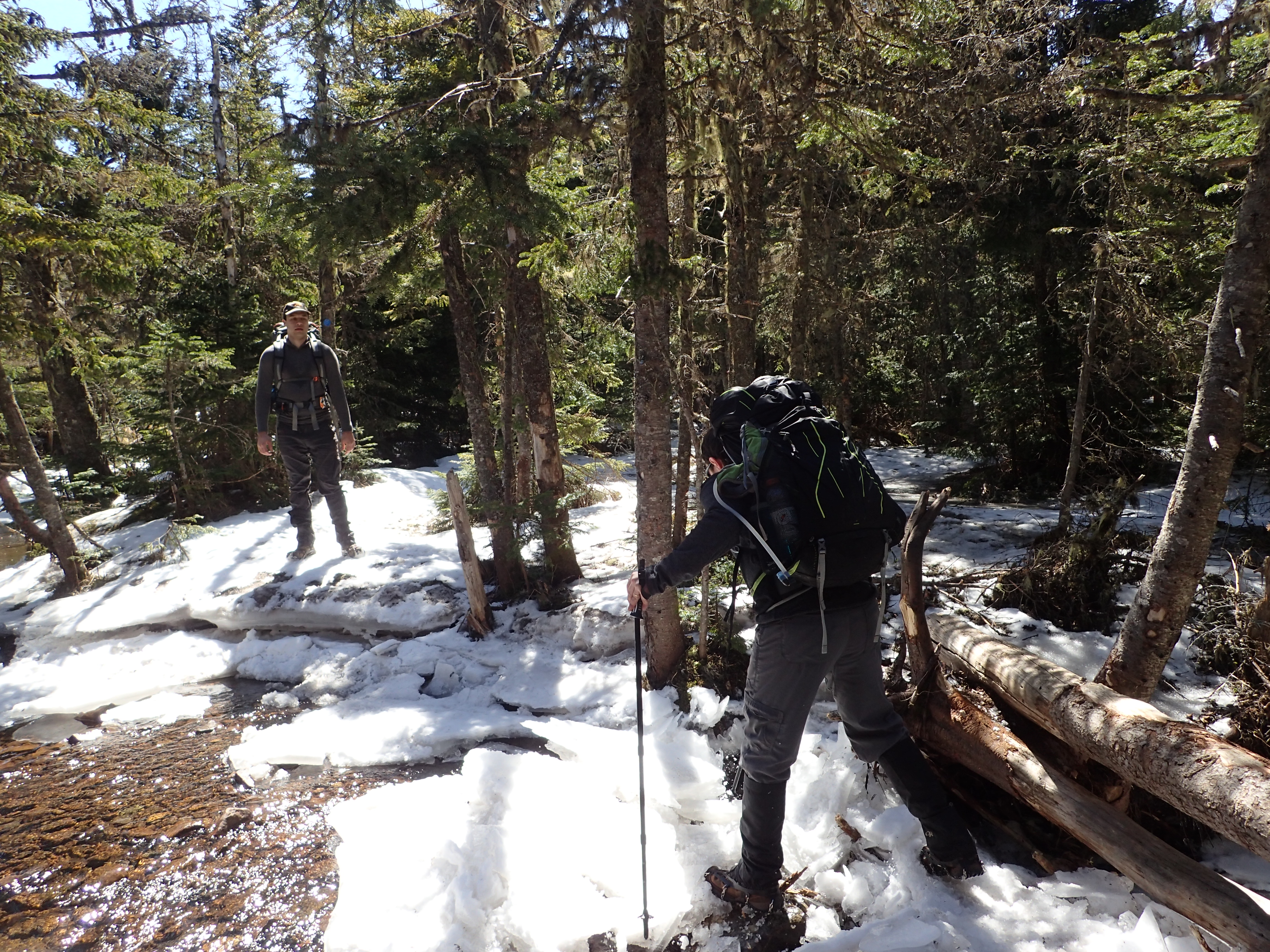
At this point we started to see the first signs of ice on the trail. The ice was pretty intermittent so it was easy to avoid with simple rock hopping and no micro spikes were needed just yet. By the end of the day this ice was actually completely melted away.

Eric and Kelly navigating the ice following the water crossing.
I should note that the trail up Marcy is incredibly easy to follow and very very well worn so getting lost on this hike shouldn’t be too much of a concern. The key is to just make sure you read the signs at the junctions and keep heading on the blue blazed trail. Before too long we reached the junction for Phelps Mountain but it wasn’t on our agenda this day so we just kept on moving.
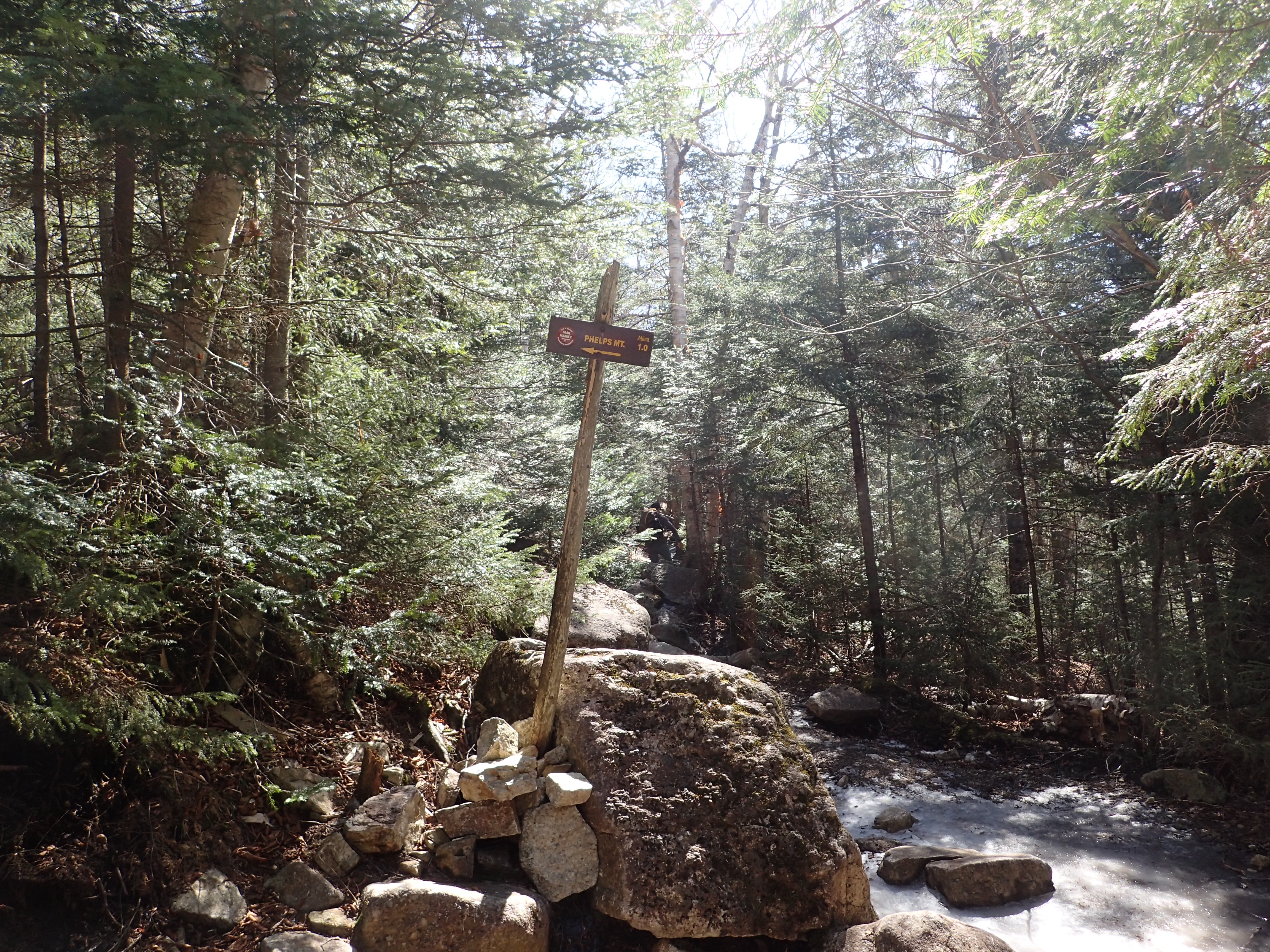
Junction for Phelps Mountain.
As we continued up the trail the ice got a bit worse and much more rocky but we were still able to continue safely without micro spikes on, but we did see one group that stopped to put them on. We then saw them a few hundred feet down the trail taking them off again to avoid destroying them on the rocks.

Looking up the trail following the Phelps junction.
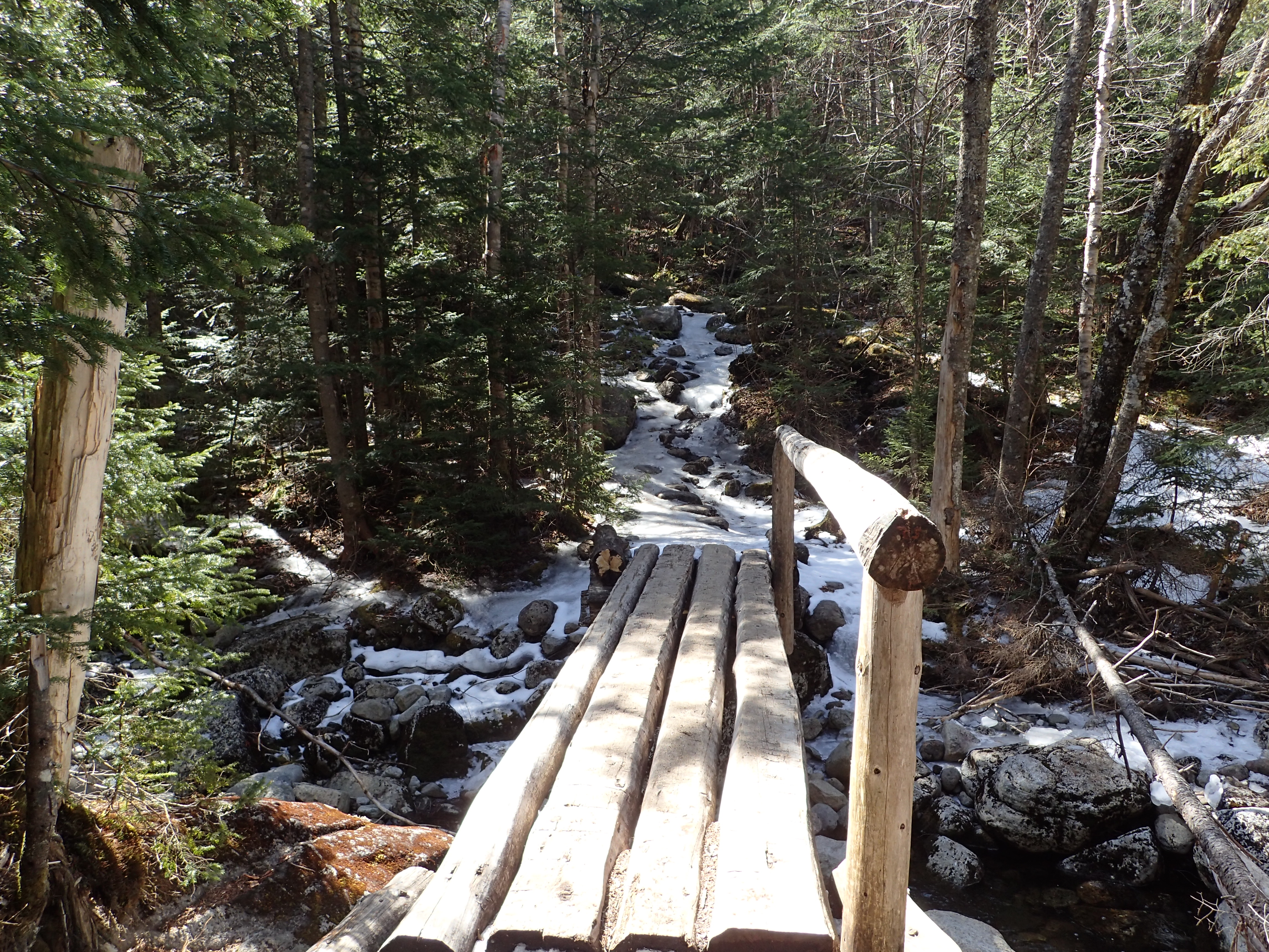
Before too long we reached the short bridge crossing over the brook. From here the elevation gain really began and we decided it was time to put on our spikes as the ice was clearly much worse from here.
Small bridge crossing the brook.
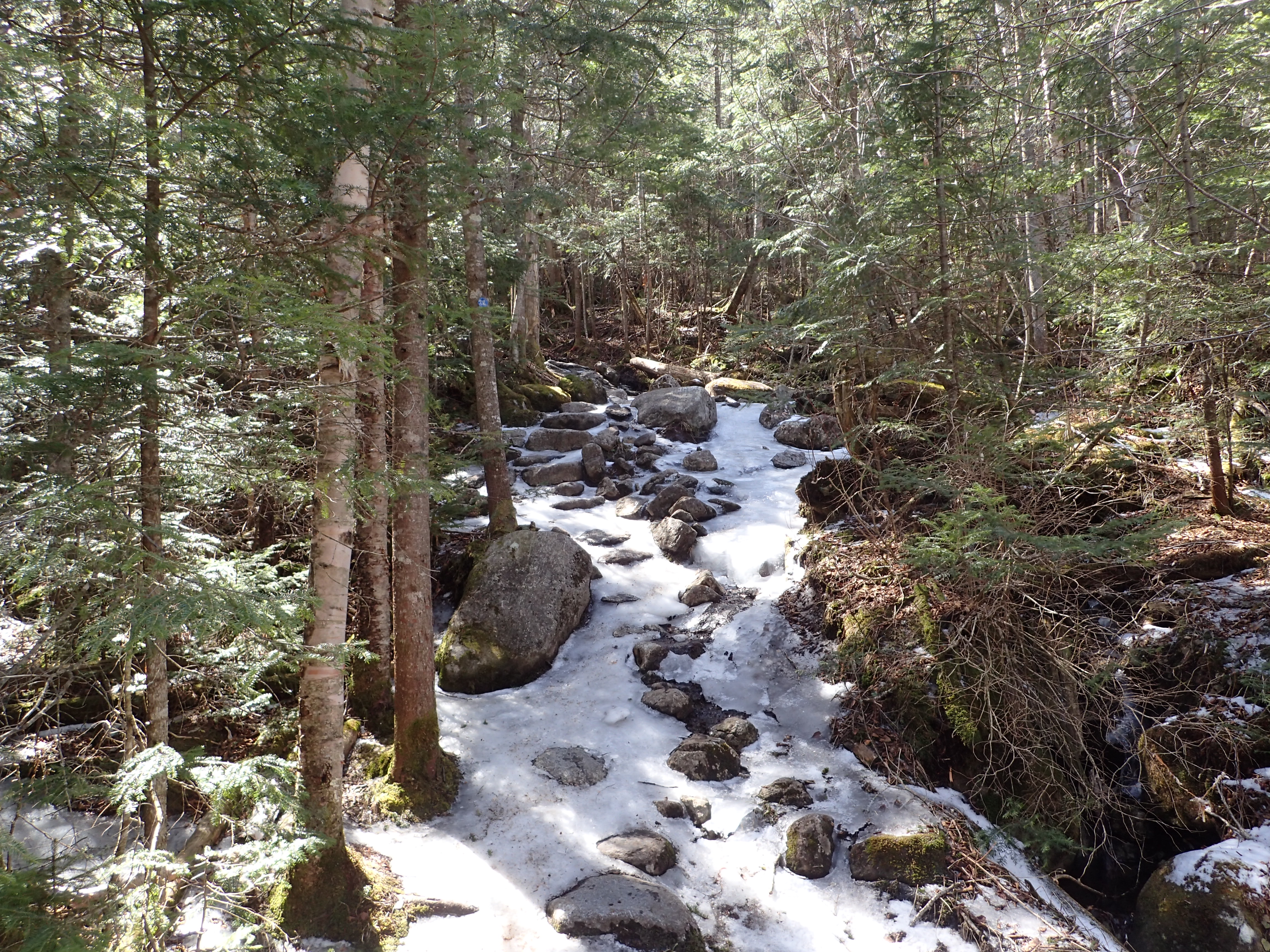
Looking up the trail just past the brook crossing.
One thing I did notice at this point was the amount of people coming back down without any micro spikes on, I would wager most of them turned around without going all the way to the top but I couldn’t say for sure. Always good to remember that the air temperature doesn’t always correlate with the trail condition. The trail from here continued at a fairly low grade as we made our way upward. The next junction we passed was with the ski trail. We took a right and kept following the sign for Mt Marcy.

Next junction after the bridge.
From here the solid ice began to be mixed in with some light crusty snow. The snow on the trail amounted to no more than a couple inches.
Ice beginning to be mixed in with light snow.
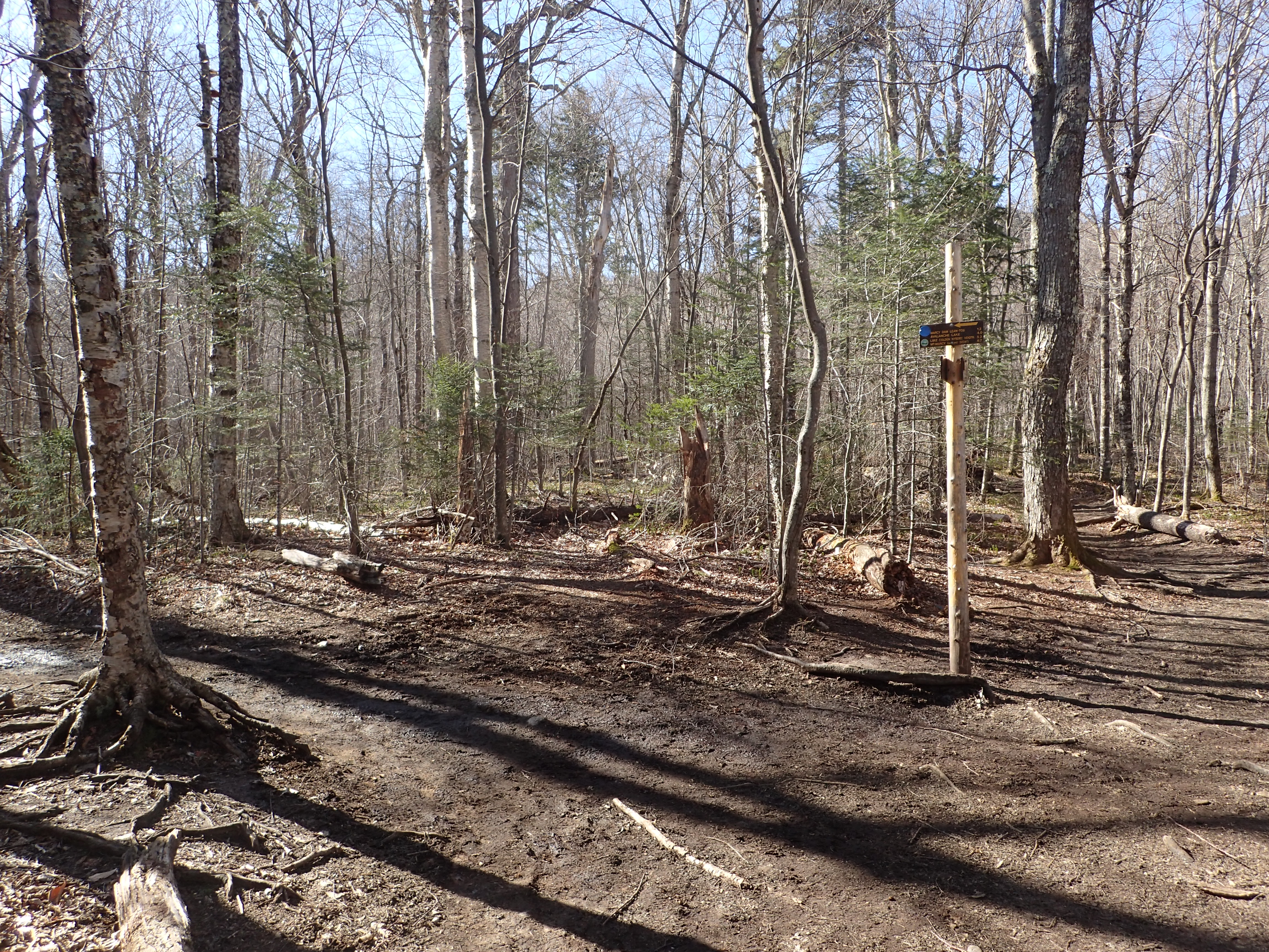
After a bit more hiking we reached another trail junction sign pointing us on towards Indian Falls.

Junction for Indian Falls.
One interesting thing I didn’t realize had happened was that the start of the herd path for Tabletop had been moved further up the trail from where it was originally and even sported a nice new sign. From what I remember of the old trail it was a boggy mess covered in windblown debris so I’m sure this new start is a welcome change.

“New” trail junction for the Tabletop herd path.
From here another short section of trail brought us to another brook crossing. This one was a mixture of logs and a sort of frozen block of ice. I would make sure to step on the log instead of whatever ice cover might be there as one in our group dodge a bullet when the ice crumbled underfoot. Luckily it didn’t collapse too far so he stayed dry.
Jason almost dunking a foot in the brook as the ice broke underfoot.
Following this crossing we reached the trail junction for the top of Indian Falls. We didn’t stop but the top of the falls is only a few hundred yards off the trail if you wanted to check it out on your way up or down Marcy.

Trail junction for Indian Falls.
At this point we had covered quite a bit of elevation gain and the trees were quickly shrinking around us but the weather only got better and better. The sun was shining bright and sun glasses became the name of the game to fight the glare coming off the snow and ice. After a little while longer we reached another trail junction and a big warning sign marking the dangers beyond for the unprepared.

Junctions and warnings all in one place.
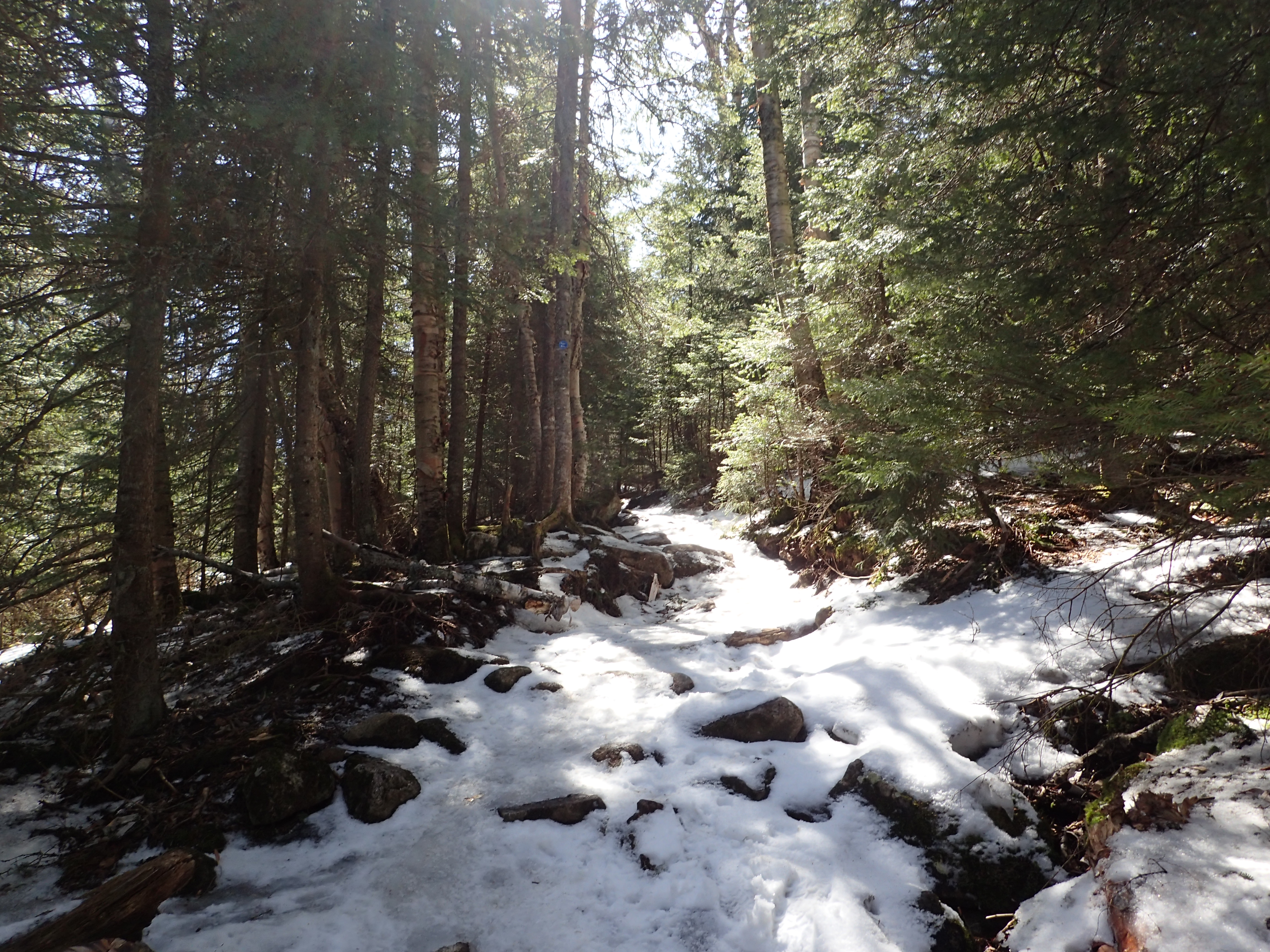
The trail from here began to get steadily steeper as we worked our way up to the treeline. The snow pack also got a bit thicker here but it was so well packed that snow shoes were not needed as long as you stayed on trail.

View of the trail as we made our way closer to the treeline.
At this point we also got our first mostly obstructed view of the beautiful area surrounding us.
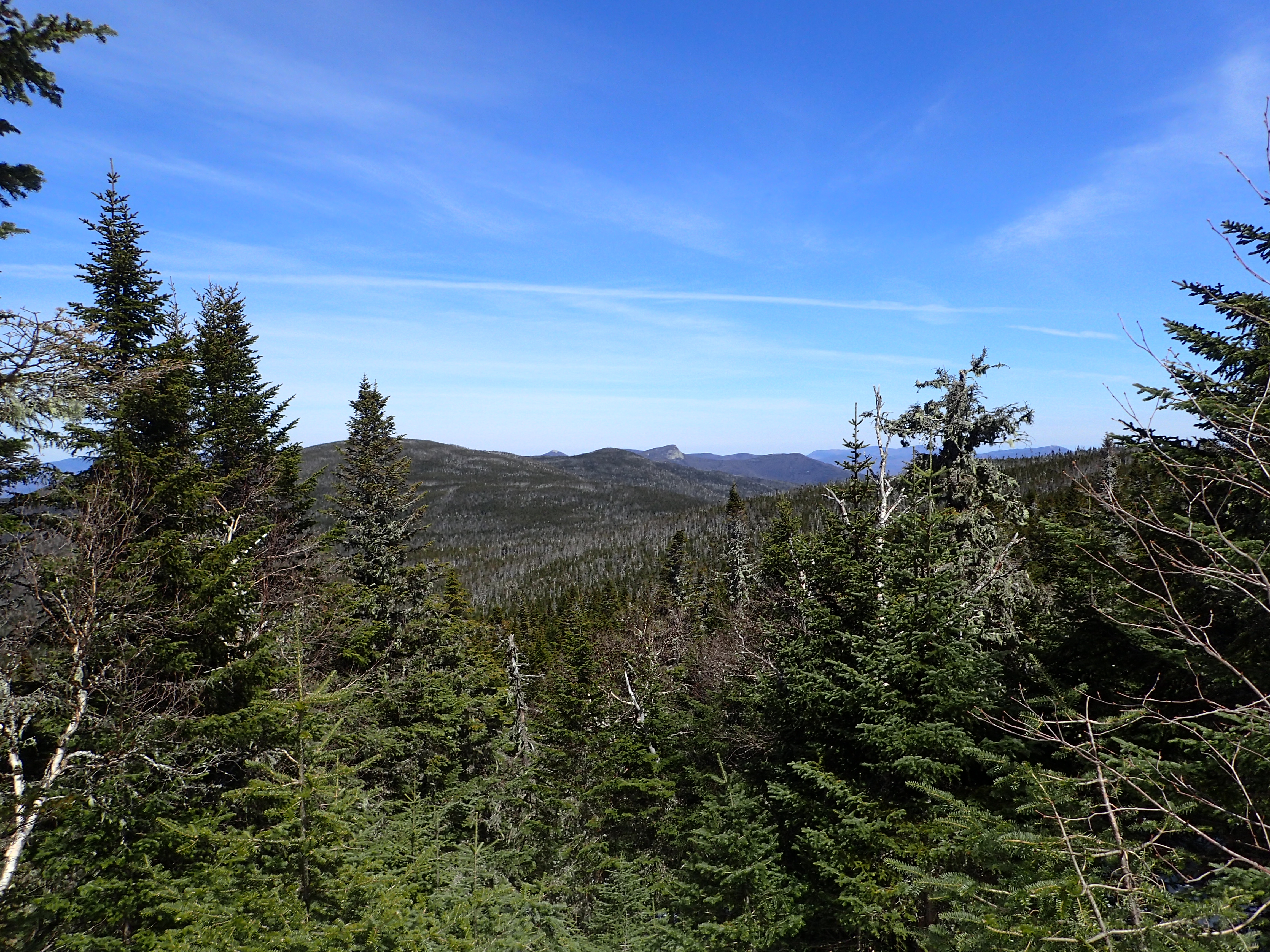
First mostly obstructed view of the day.
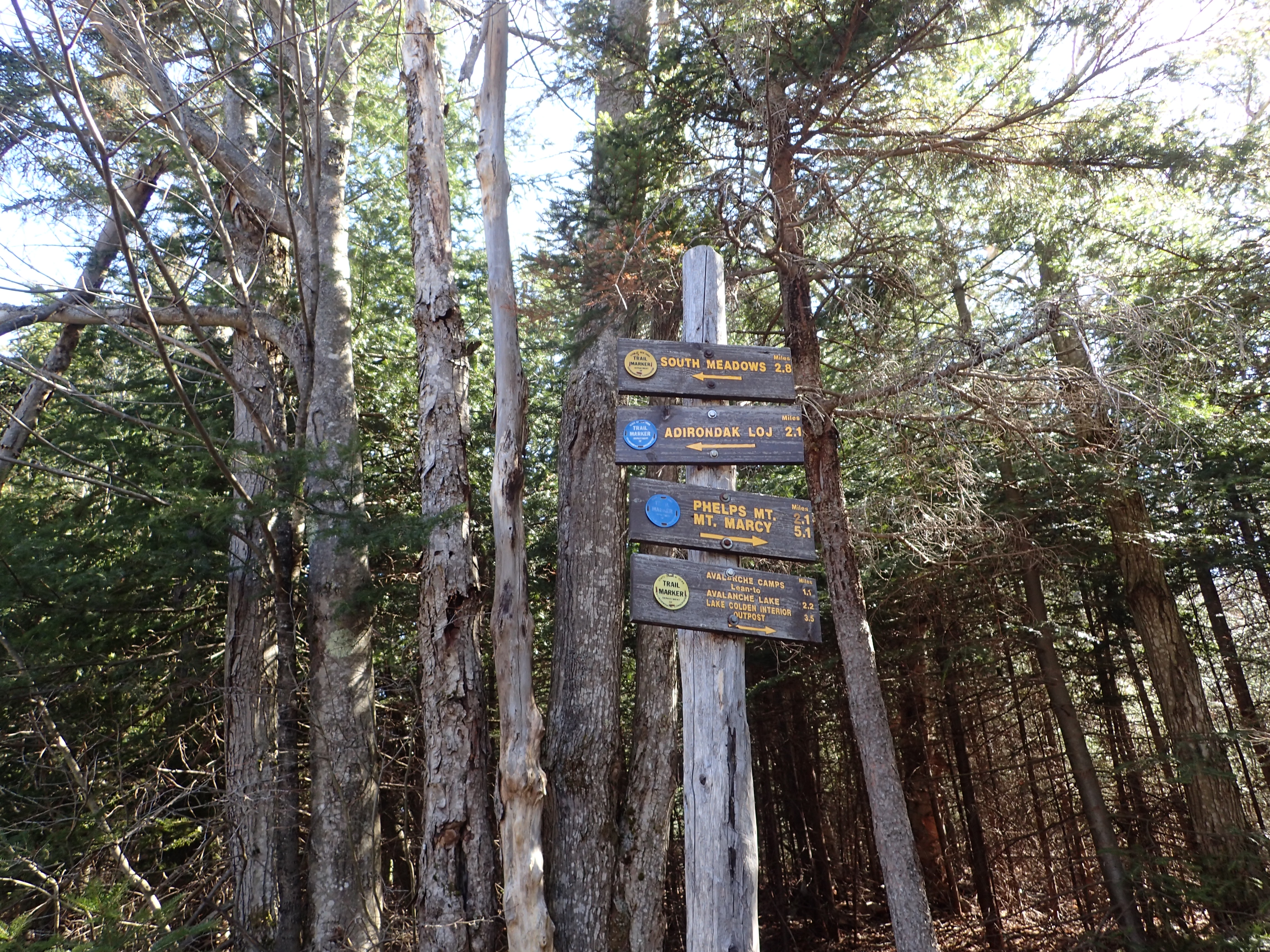
One more trail junction marked the last remaining 1.2 miles to the summit. From here the steepness increased but it was still pretty easy sailing thanks to the great weather and solid trail conditions. We even got a nice view of the summit peaking through the low trees.
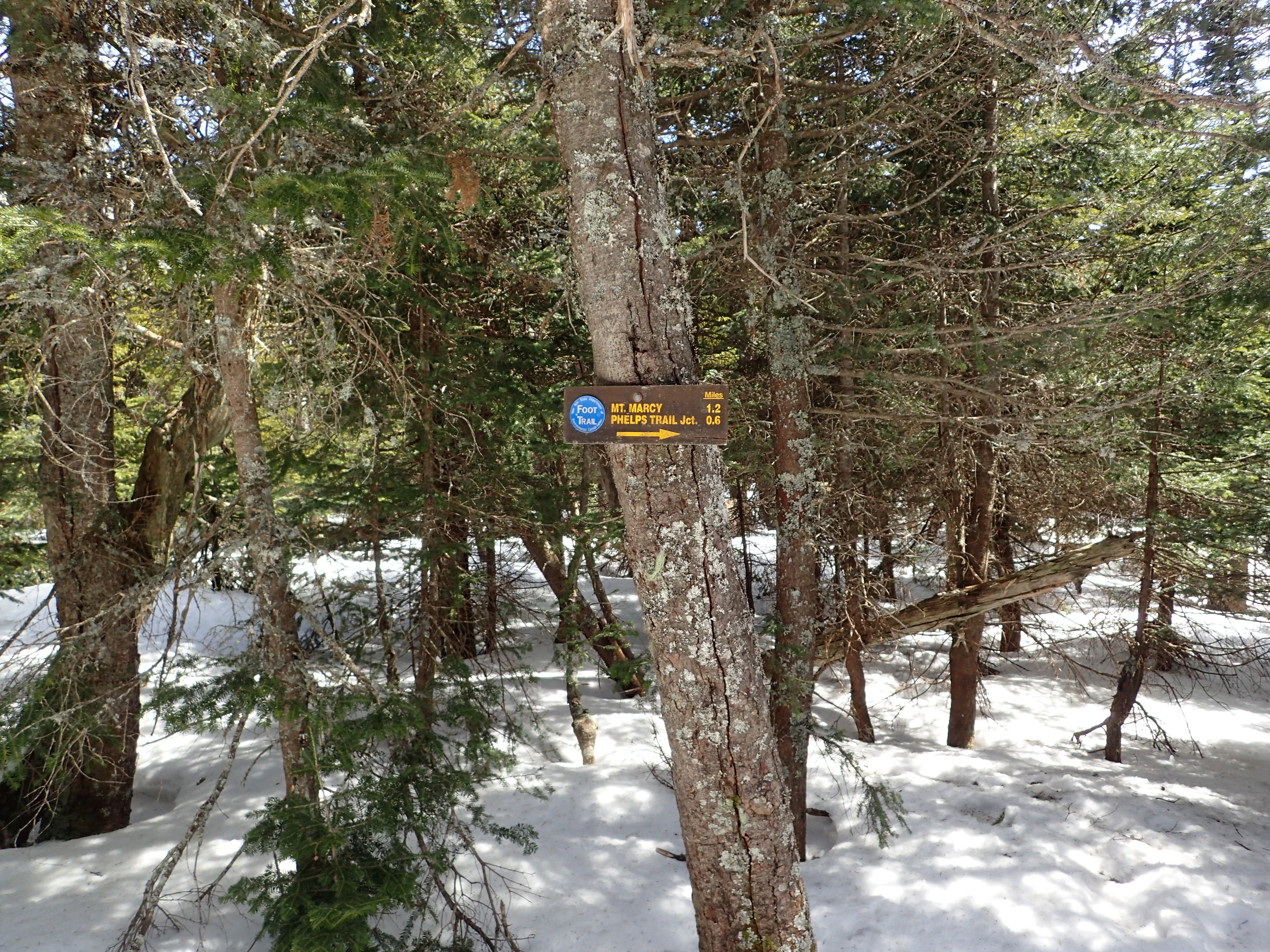
Trail junction marking the last 1.2 miles to the summit.

View of the summit peaking through the trees.
A little bit further we reached a nice clearing which offered a nice unobstructed view of the summit beyond and a nice big rock to take a break on. We stopped here for a long water and enjoyed the sunshine. At this point it felt more comfortable to continue hiking in short sleeves which is always nice, especially when your still hiking on snow and ice.

View of the summit from the clearing. It seems very far away but its not so bad.
After finishing up our break we pressed on down the trail passing another, even more ominous warning about the possible conditions beyond.

I think the DEC may be trying to give the NPS a run for its money with ominous warning signs.
The trail continued on its steady upward slope in increasing snow before finally depositing us above treeline and on to to the rocky outcrops of the summit ridge.
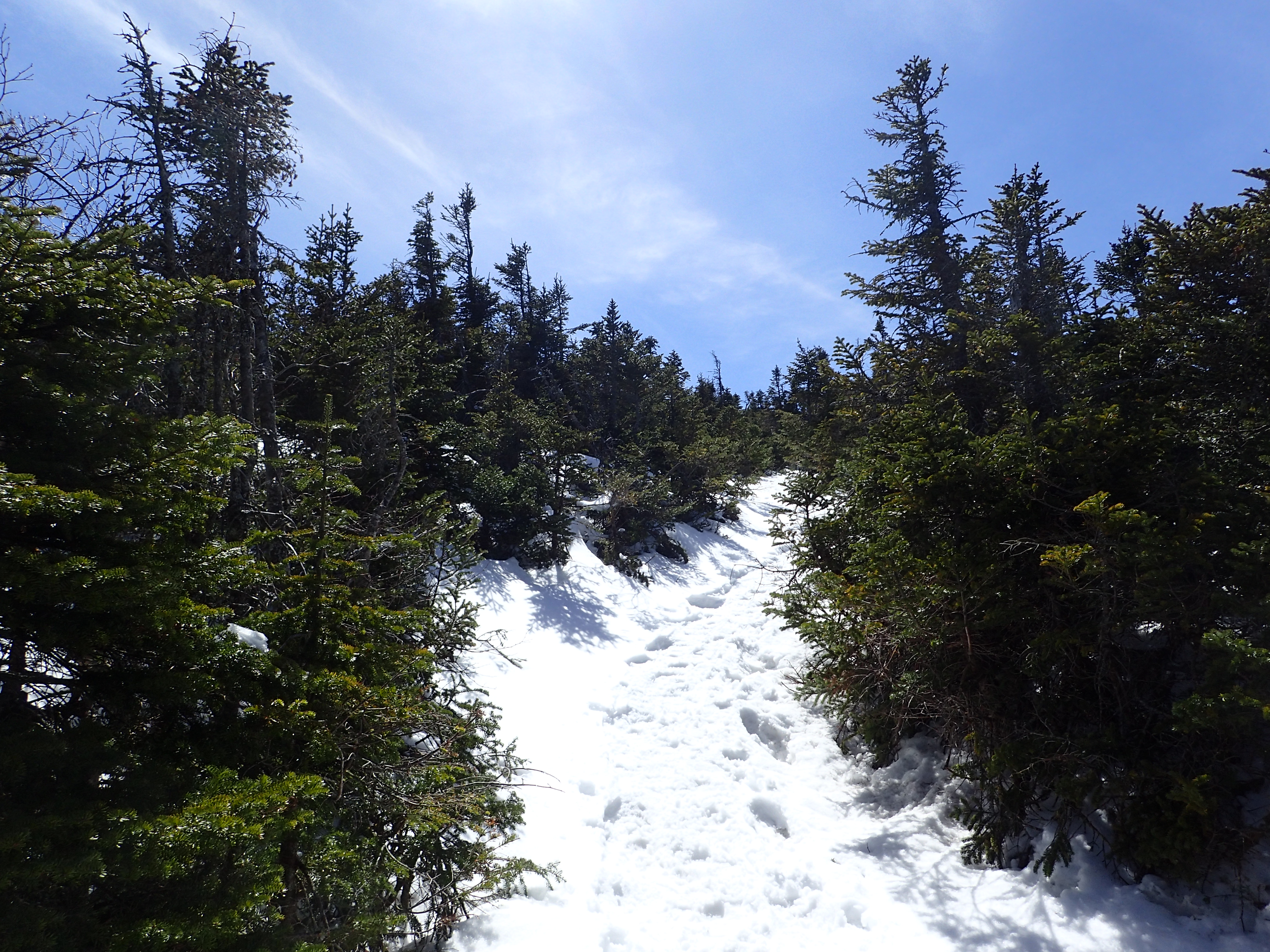
View of the trail just as you reach the treeline.
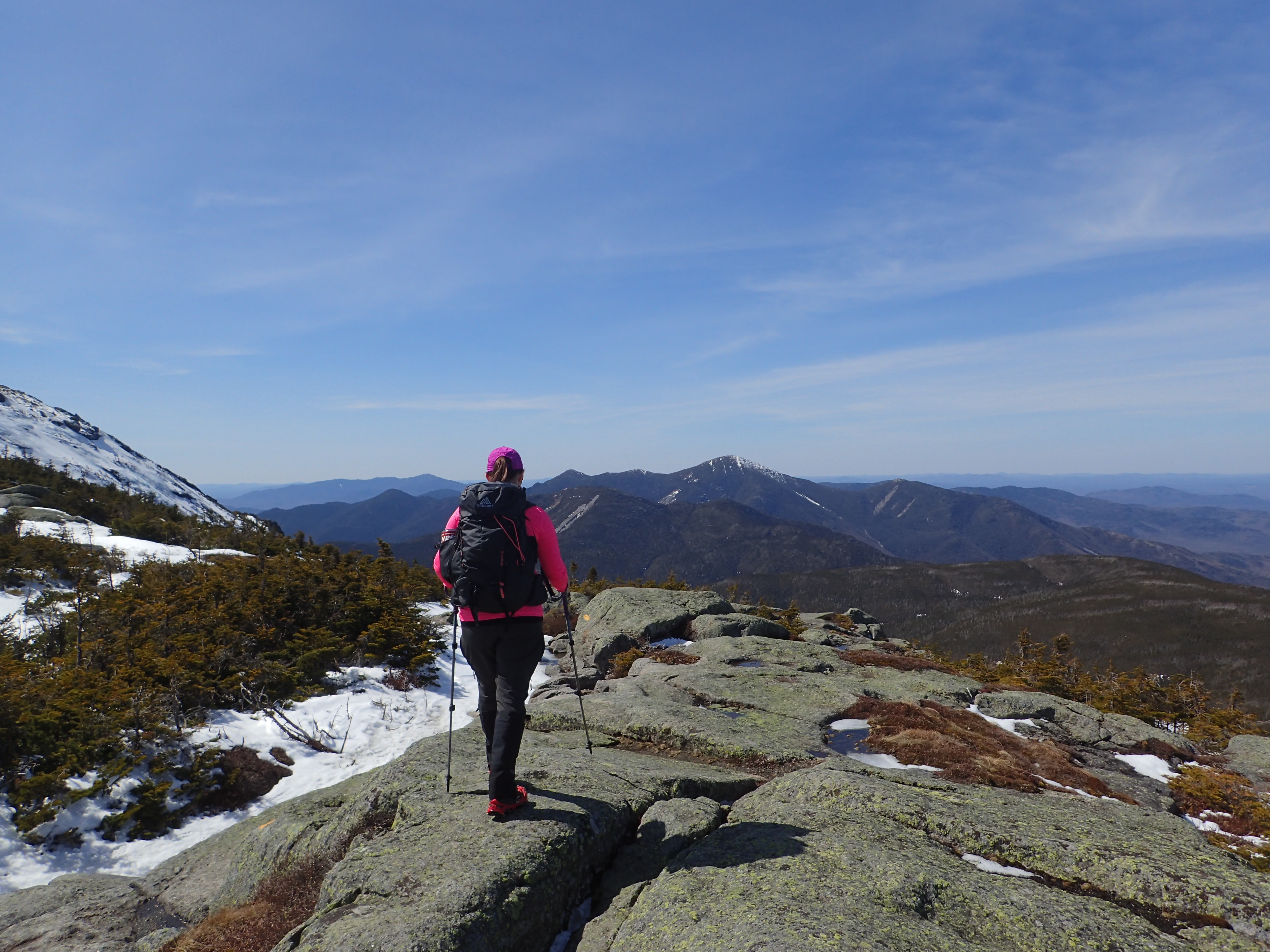
View of Kelly on the ridge just below the summit.
From here the fun part of the hike really begins as you get to enjoy the last few steep sections along with beautiful views in every direction. The trail was a bit icier here and most of the snow had long been blown off the ridge so micro spikes were more then enough to make it up.

Kelly working her way up towards the summit.
There was a trail of tracks leading through the snow but there were also some variations people had taken which did not strictly follow the summer route. With the snow on the ground it didn’t matter too much as there was no vegetation to trample but in the summer you want to make sure you are following the yellow blazes and cairns to the summit. In our case we just kept working our way upwards following what tracks we could see.

Jeff and Kelly working their way up the ridge to the right.

Jason and Eric following my path off to the left.
One last push up the hill put us on the rocky summit of Mt Marcy. We had the summit all to ourselves for a while which is certainly a rare site but perhaps even more rare was that there was almost no wind at all on the summit.

Rocky summit of Mt Marcy
We walked a bit further until we reached the large outcrop which had the plaque mounted on its side marking the true summit. The top of this rock also had a USGS Benchmark.
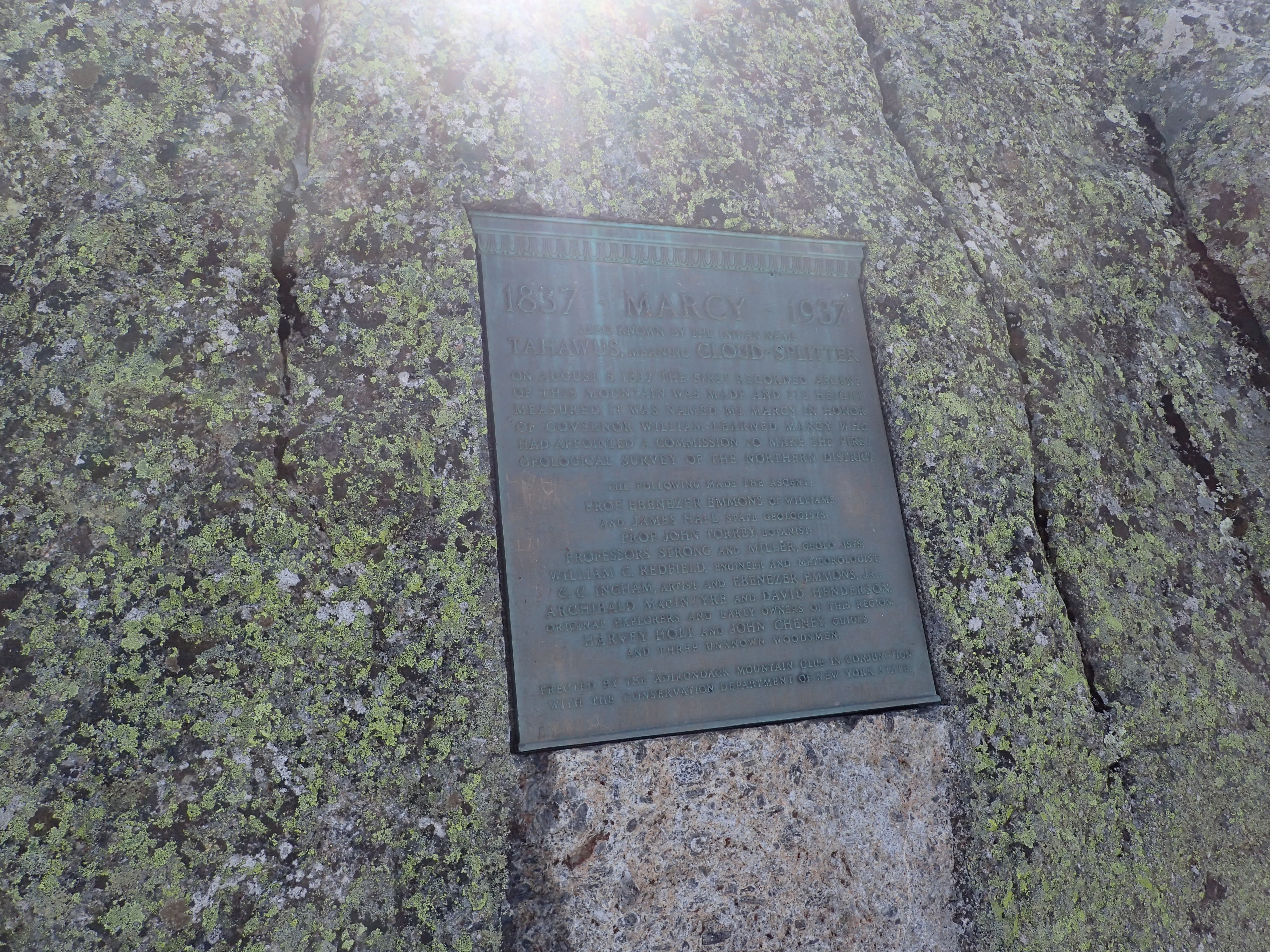
Plaque on the side of the summit rock.

USGS Benchmark Medallion on the summit.
We stayed up on the summit for a while and enjoyed the beautiful views on the crystal clear and warm day we were so lucky to have. After a while of being all alone on the summit some others arrived and we enjoyed the good conversations as we ate our PB&J sandwiches.

View of Mt Skylight from the summit.

View from the summit.

View of Mt Haystack from the summit.
We reluctantly geared back up after finishing our sandwiches and began our decent back to the campground. The hike out was uneventful and went much faster than our hike up. The only major change was that all the frozen mud low on the mountain, especially after passing Marcy Dam was now in liquid form and it was a mess to hike through. Luckily the mud was mostly spotty so it didn’t slow us down too much overall and we made it back out to Heart Lake by 7 pm, just in time to see the sunset.

Sunset over Heart Lake. (Caught it a little late 😦 )
All in all it was a great day in the High Peaks with great people. We couldn’t have asked for better weather or conditions for this time of year.
Categories: Adirondack High Peaks Region, New York, Trip Reports


1 Comment »