
TRIP REPORT: Algonquin, Iroquois, Wright via Loj – Adirondacks, NY 11-21-15
Hiking stats at a glance:
~12 miles
~4,350
3 High Peaks – Algonquin 5,114ft, Iroquois 4,840 ft, Wright 4,580 ft
8 hrs
Despite finishing up my 46 back in October I was itching to get back to hiking in the High Peaks. It was a nice feeling to choose a hike based purely on desire instead of a need to finish my list for a change. It actually didn’t take me too long to decide that I really wanted to do Alogonquin, Iroquois and Wright for the second time as these were really always some of my favorites. I had also never done all three as a single trip so I figured that would be an added bonus. They certainly didn’t disappoint me.
After spending a restful night sleeping in my car at the Rooster Comb trailhead I got up fairly early and headed over to the Loj trailhead after a short stop for breakfast. I gathered up my gear and signed into the trailhead at 7:58am. It was chilly but not overly cold with temperatures sitting around 35-40 Fahrenheit. There was also no snow on the ground which was quite a change from my October Marshall hike! The trail starts off from the Loj on a very easy and well packed trail which at this point was still completely free of snow or ice.
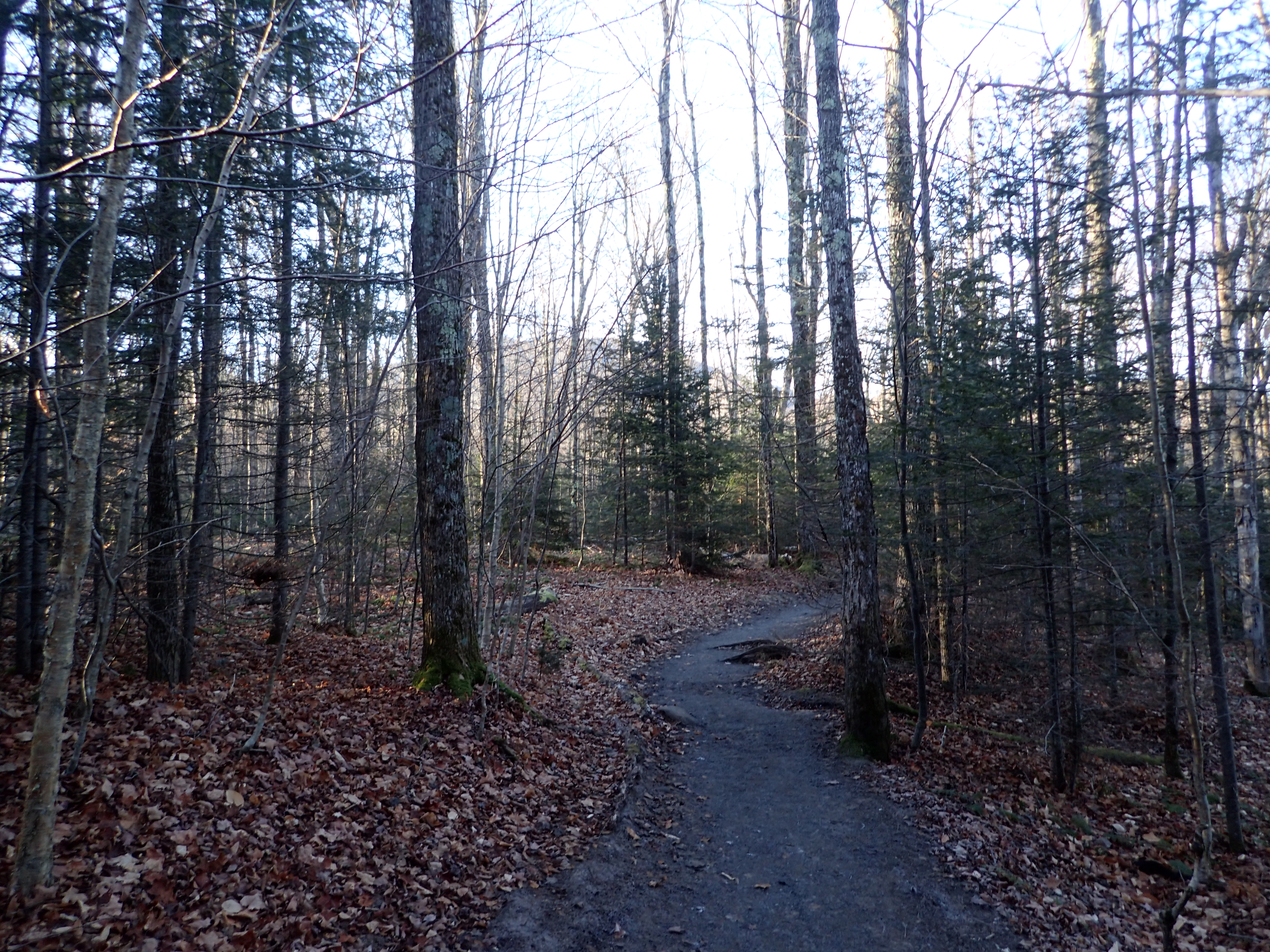
Start of the trail from the Loj trailhead.
After about a mile of hiking I came to the first trail junction at 8:15am. From here I stayed to the right and kept following the trail leading towards Algonquin and the Whales Tail.
First trail junction.
Just be sure you don’t keep heading towards Marcy Dam out of habit or you will end up taking a much longer route up to the top of Algonquin! The trail from this point began to get more rocky but it was still relatively dry and as with most popular trails in the high peaks, easy to follow. Originally I thought that by starting close to 8am I would be sharing the trail with quite a few people but luckily it was still pretty empty at this time.

The trail starts to get rocky after the first junction.
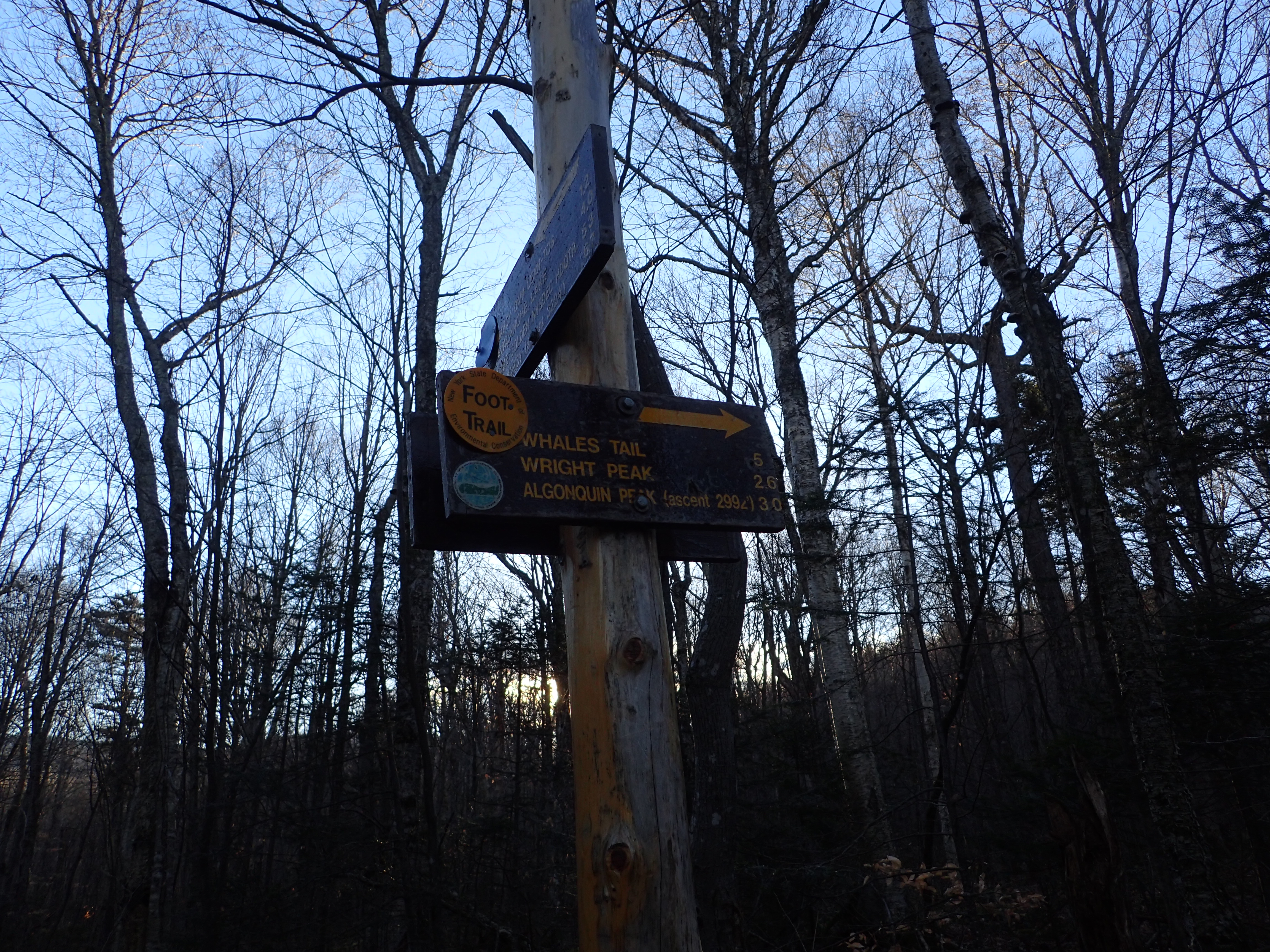
The trail was fairly wet as it usually is but at the lower elevations was still not icy so slipping wasn’t anymore of an issue than it usually is. After a little more hiking I reached the next obvious trail marker which was a small sign with an arrow pointing you to the right. I reached this junction at 8:43am.

Arrow junction pointing you to the right.
After this point the trail became much rockier and also began to get a good bit steeper. However, the trail conditions were still quite good and I was able to keep making good time.
The trail got rockier past the arrow junction.
Up to this point I had still not seen anyone else which was really pretty surprising for such a beautiful Saturday in November but I wasn’t complaining! It wasn’t until I reached the junction with the Whales Tail ski trail at 9:03 am that I ran into a group of two guys.
Junction with the Whales Tail ski trail.
At the ski trail junction I had stopped for a quick drink and to delayer letting the other group pass me but I ran into them again a short distance forward at the first steep slab on the trail. At this point there was more ice on the trail but it didn’t totally cover the trail so I still didn’t put on my micro spikes, but I do believe the other group did. Since I didn’t stop to put on my spikes I walked up to the slab and picked a line up the right side of the slab avoiding most of the ice and was able to get up and over without much difficulty.

First small slab I ran into on the trail with only slight amounts of ice.
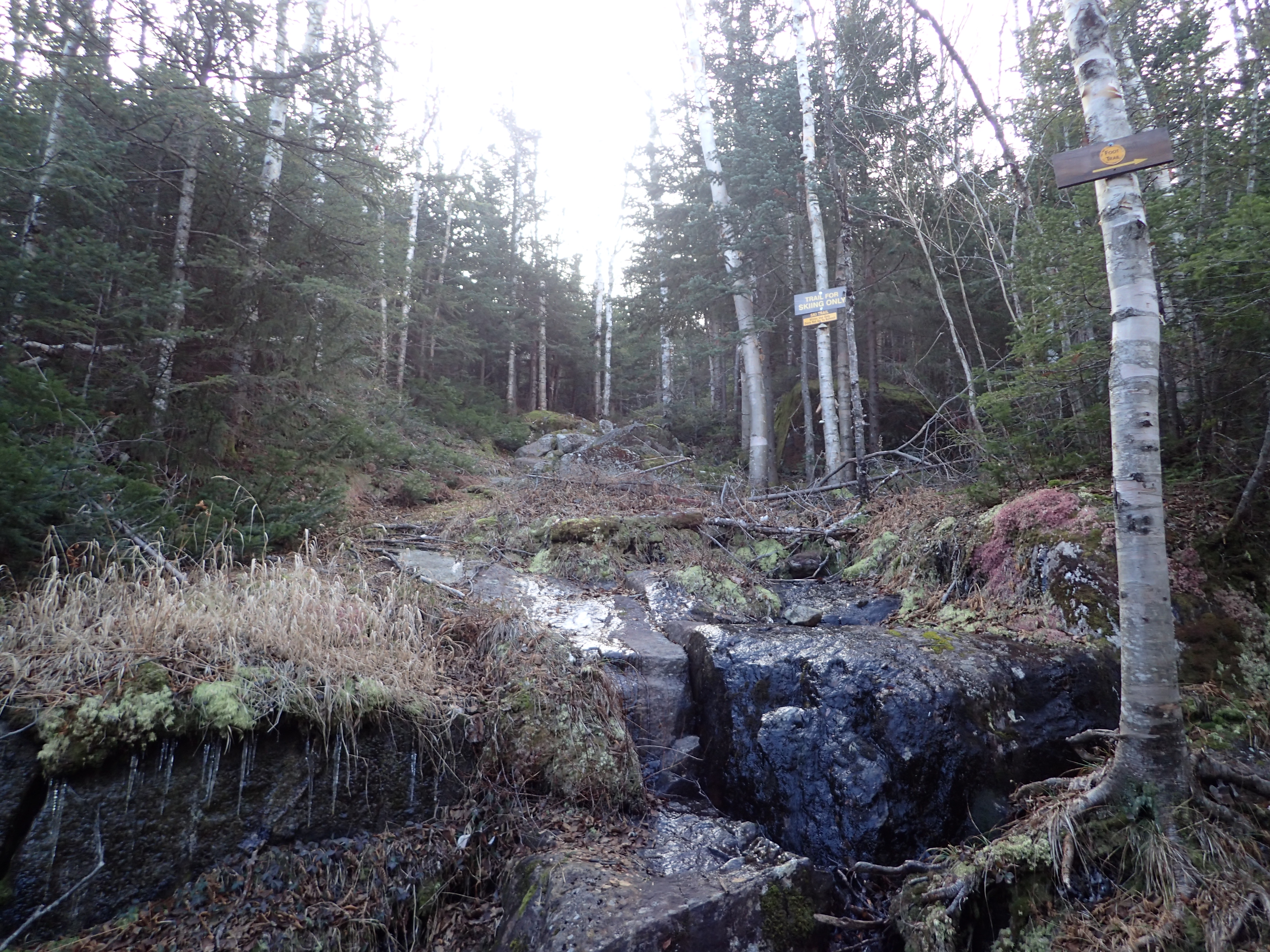
Once I got passed the slab I had to be a bit more careful to avoid the ice on the trail that was covering much of the rocky, but mostly level trail. After a short hike past this point I reached the small waterfall that is right off the trail and it was still running pretty freely and had really only begun to freeze.

Waterfall right off the trail on the way up.
After crossing the brook at the base of the waterfall it was just another short hike to the next small brook which was also easy to cross.

Second small brook after passing the waterfall.
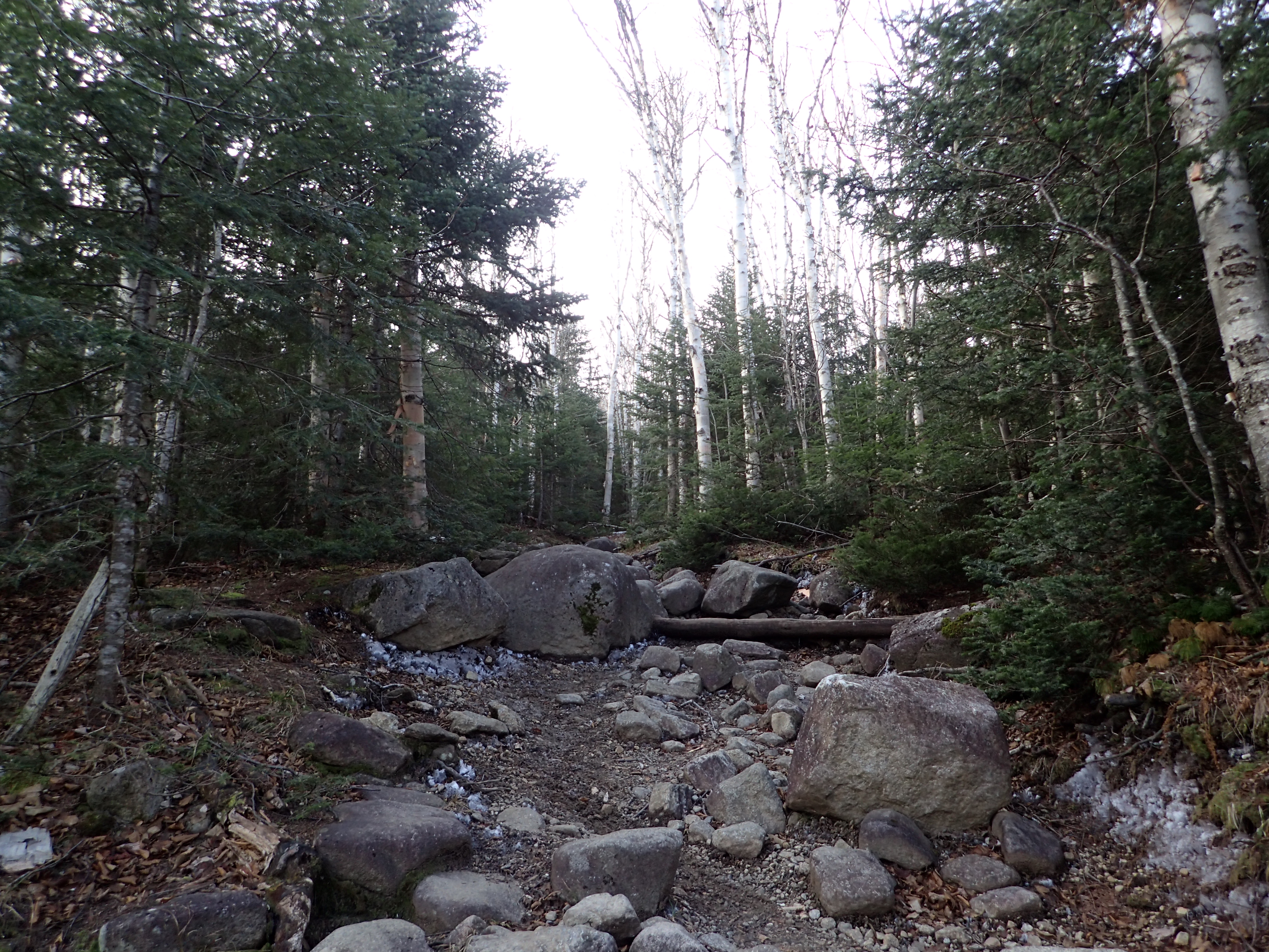
After passing the two brooks the trail also got substantially steeper and instead of just small rocks there were also much larger boulders that had to be navigated. Despite the increased steepness I was still able to make pretty good time.

Trail after passing the brooks.
After gaining a good bit of elevation pretty quickly I reached the next big slab that needed to be navigated. By staying off to the side I was able to grab some roots for support and made it to the top without much difficulty and without having to put on my micro spikes.

Next steep rocky slab that needed to be navigated before reaching the junction for Wright Peak.
After passing this steep section it was only a few more minutes of hiking before I reached the trail junction for Wright Peak to the left at 9:50 am. I decided to get Algonquin and Iroquois out of the way first and save Wright for desert. This turned out to be a really great choice. The trail junction sign was pretty destroyed but still kind of useful I suppose. The trail for Algonquin continues straight while the trail for Wright is off to the left.
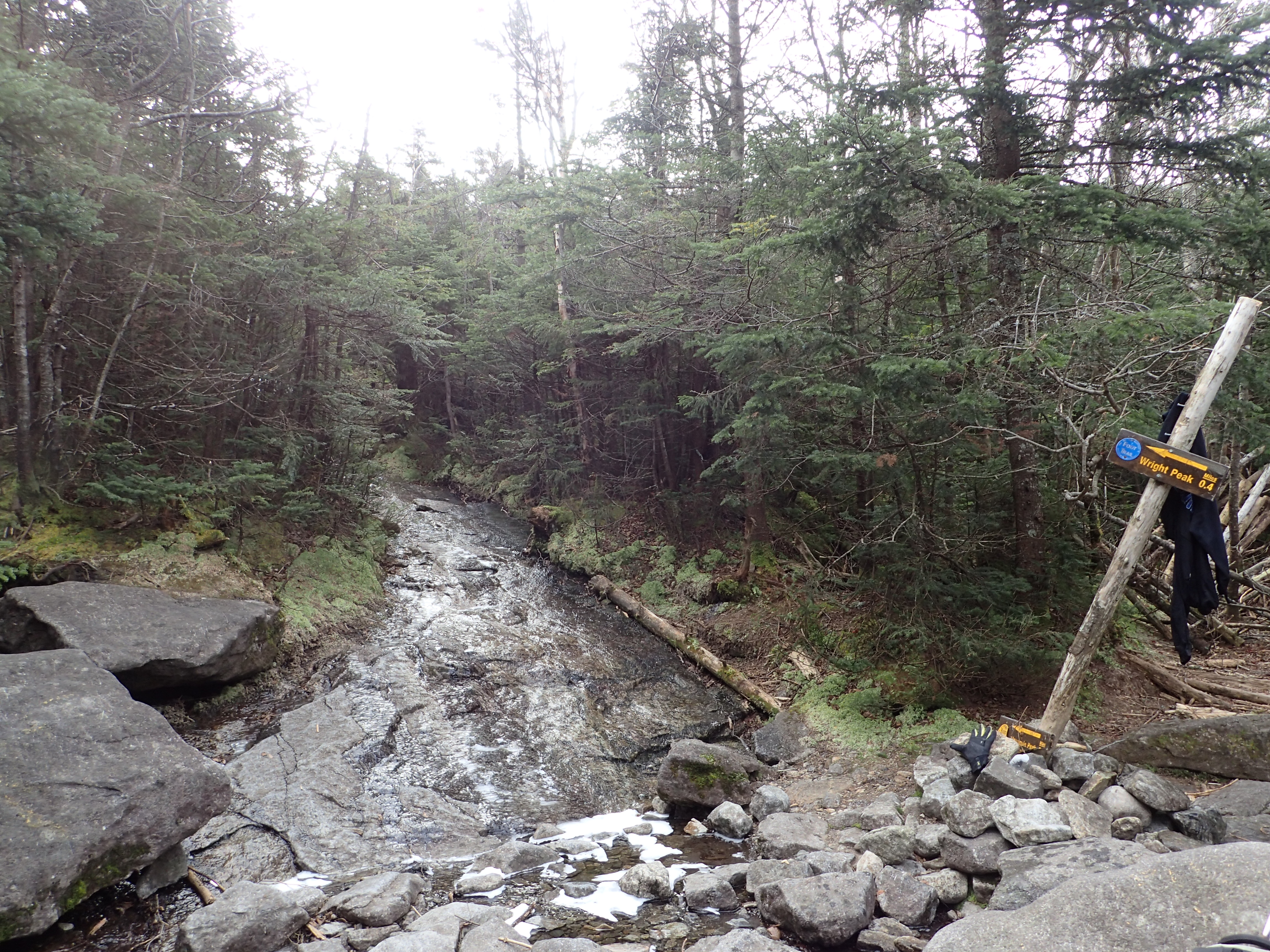
Trail junction sign that has seen better days marking the trail for Wright Peak and Algonquin beyond.
From here the trail climbs fairly gently at first over low angle rock slabs. The slabs at this point were increasingly icy but I didn’t put my micro spikes on right away until it really started to slow me down. Luckily I picked a good time to put them on because then I hit the biggest and steepest bulges which without them I would of had a really hard time maintaining any kind of quick upward momentum.

Icy slab nearing the top of the ridge and treeline.
Once I had my micro spikes on the slabs were pretty easy to navigate quickly. The real climbing started once I broke above the treeline and reached the ridge heading for the summit.
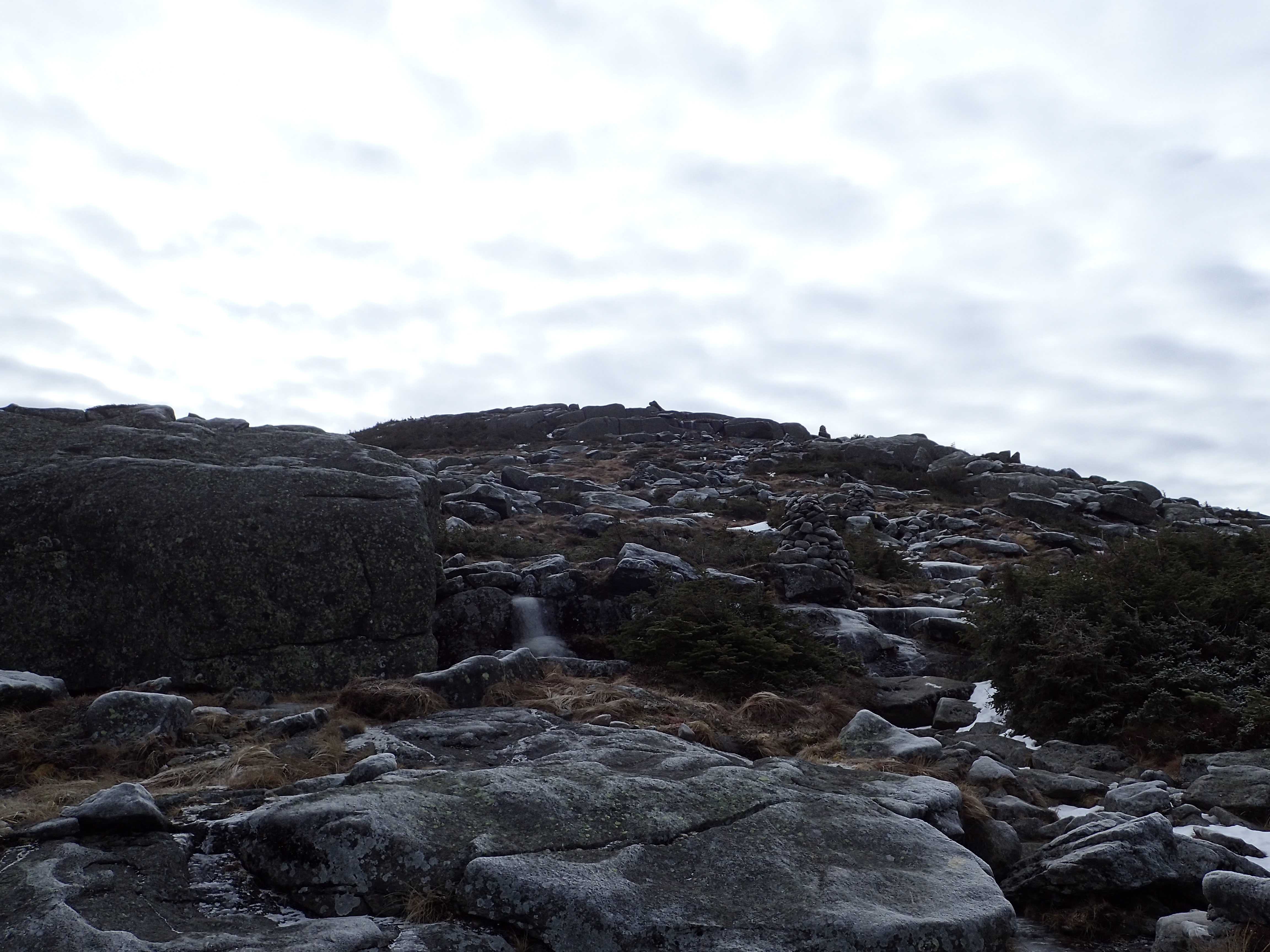
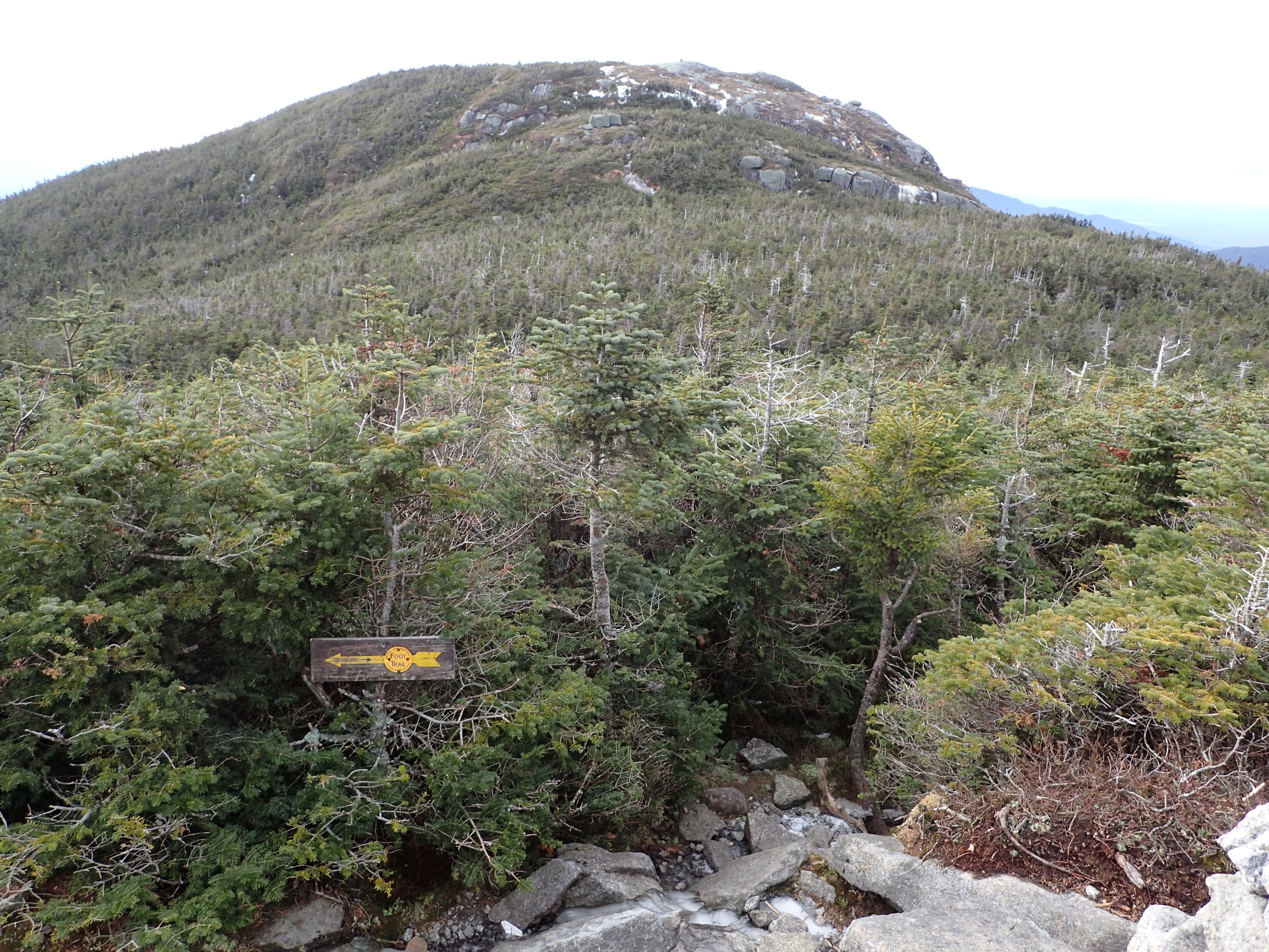
First view looking up towards the summit after passing the treeline.
There wasn’t much snow above the treeline and the ice was heavier but not outrageous. The micro spikes provided more than enough traction to keep climbing upwards without much difficulty. Once I got a little higher up the ridge I also got a beautiful view of Wright Peak in the distance.

Looking back towards Wright Peak.
There were a couple of short sections of scrambling that I needed to navigate but otherwise not too much else to work around on the way to the summit. I reached the summit of Algonquin at 10:51 am, almost exactly an hour after passing the junction. I was amazed to find that I had the summit completely to myself! Who would of thought this was even possible at a reasonable time on a beautiful Saturday.

Algonquin Summit Disk

View from the summit of Algonquin.

View from the summit of Algonquin.
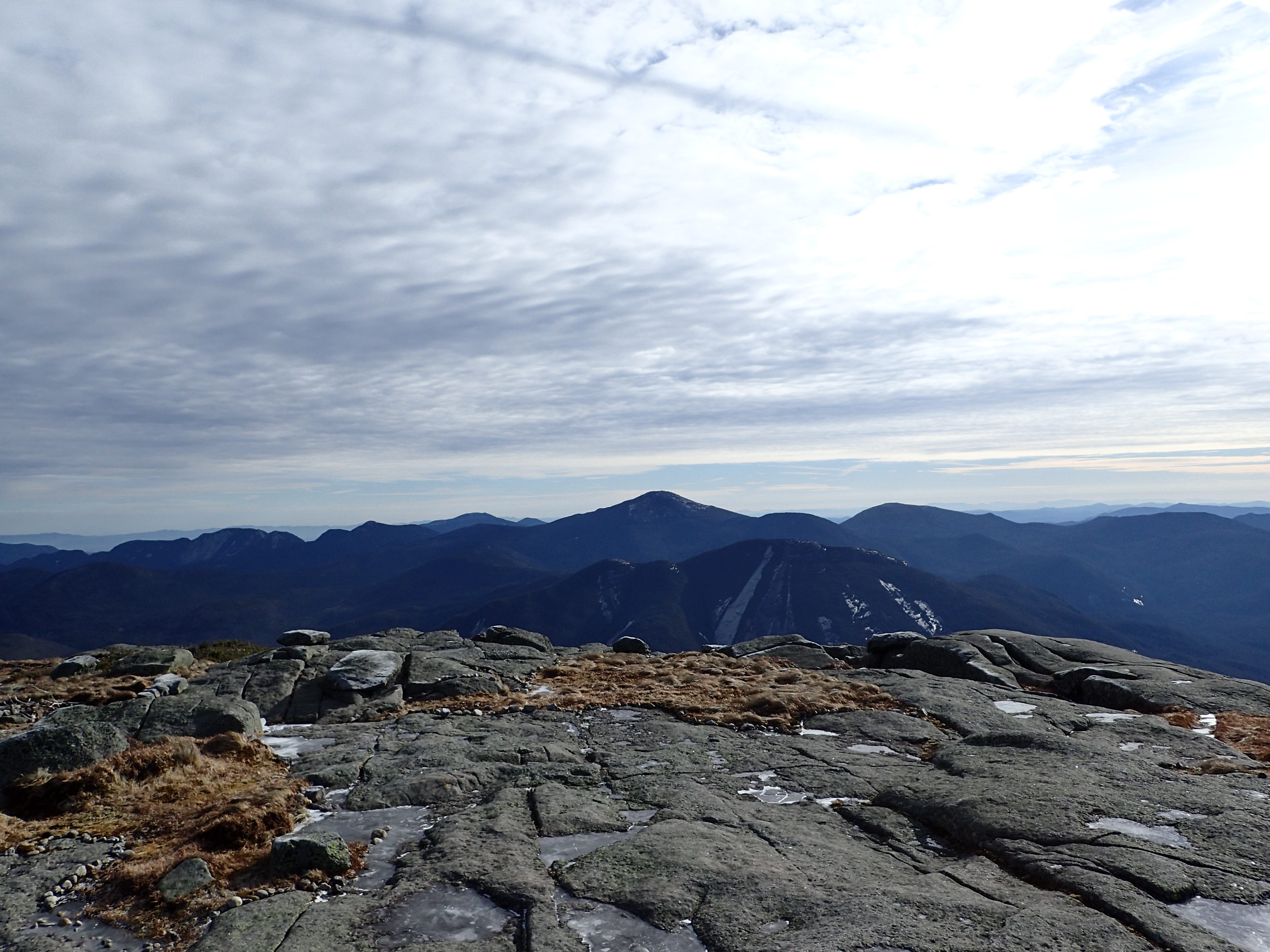
View from the summit of Algonquin.
View from the summit of Algonquin.
I spent about 10 minutes on the summit taking it all in before starting to work my way over to Iroquois.
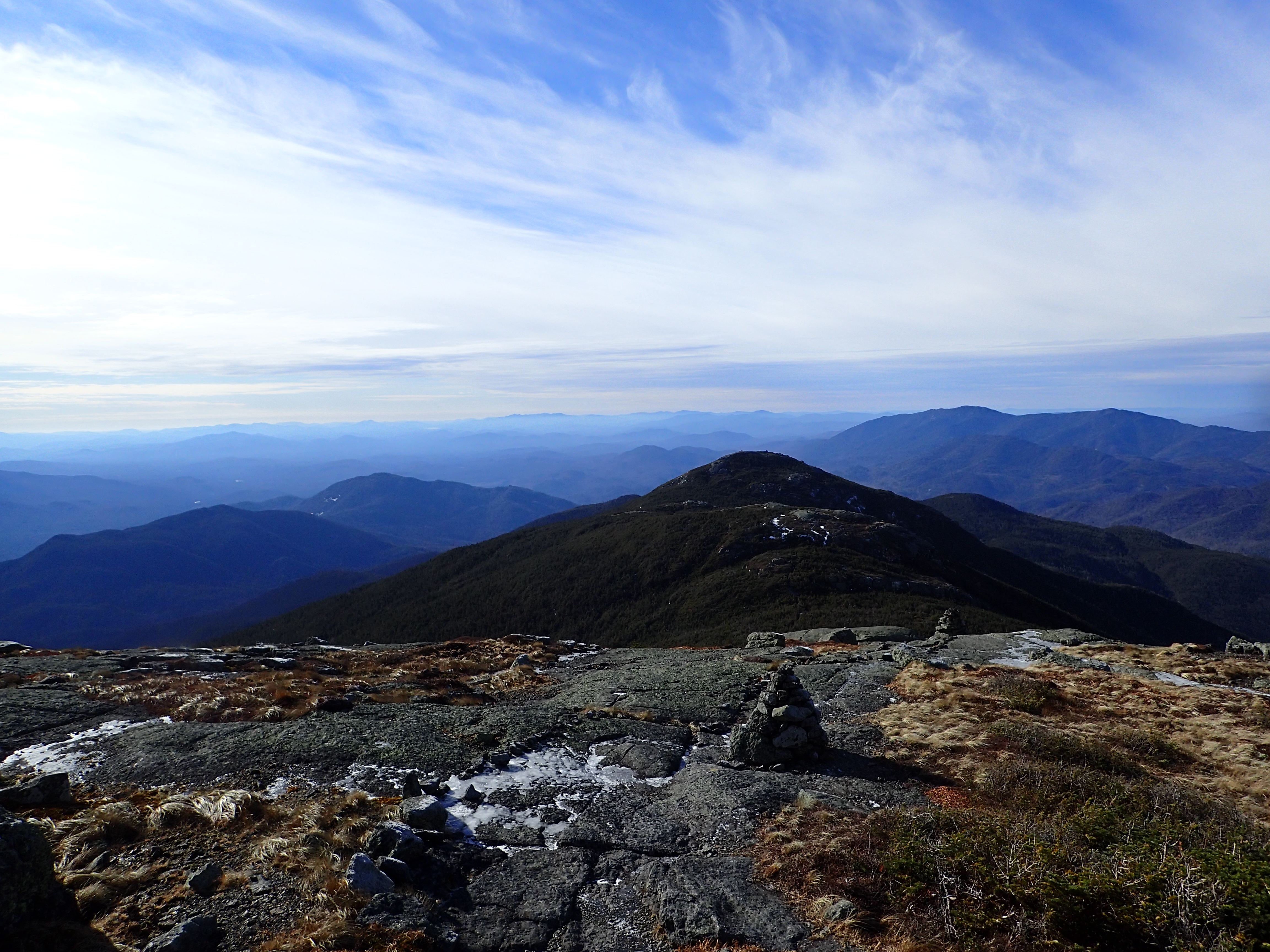
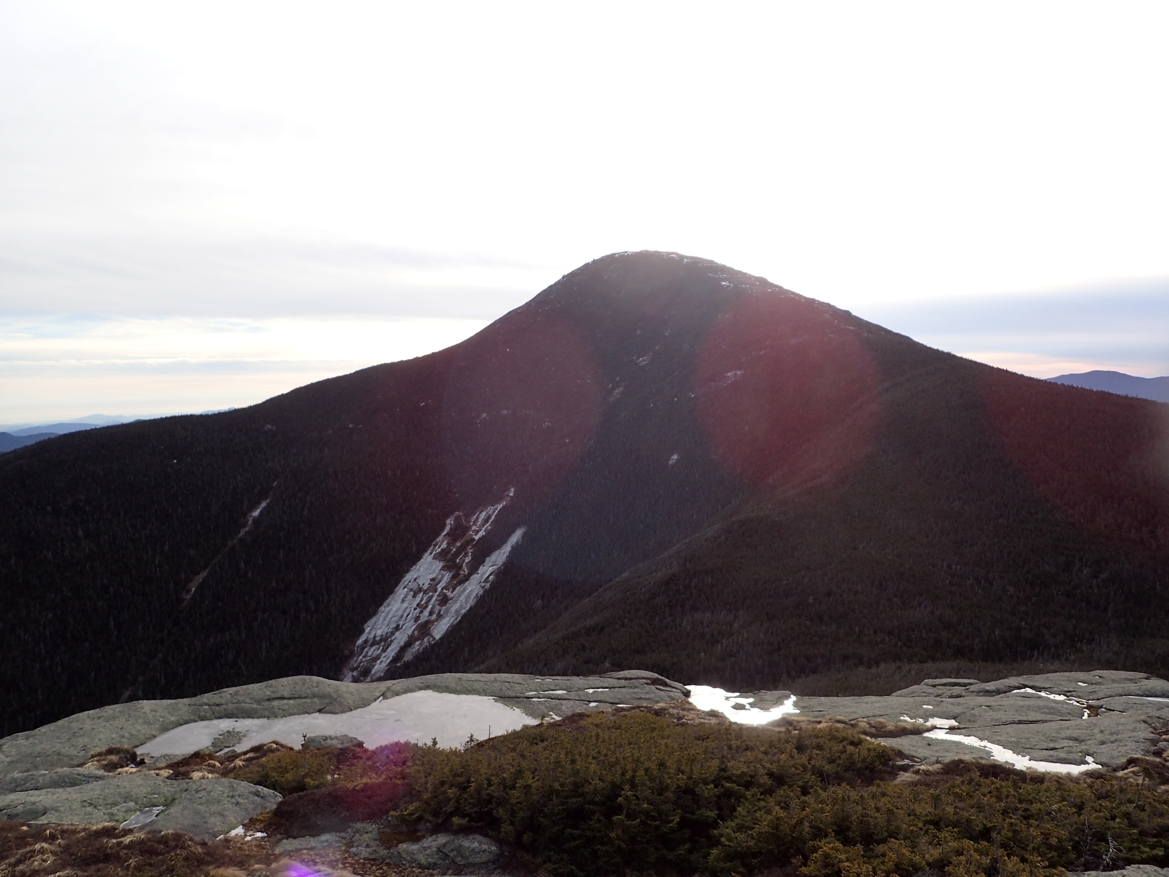
Looking over towards Iroquois in the distance.
I worked my way down into the col between Boundary Peak and Algonquin which is also where the trail junction is for the herd path leading to Iroquois. Once I reached the junction I actually walked down the Avalanche Pass trail by mistake as I wasn’t paying attention and had to hike back up to the herd path. My little detour added about 0.25 miles to my day but otherwise was uneventful.
Boundary peak in the distance at the trail junction for the Iroquois herd path. Some how I managed to walk right past it.
The herd path to Iroquois is in good shape and easy to follow but I would say its probably technically speaking a little harder than Algonquin. There are a few short rocky sections to navigate which are a bit harder in their current half ice state.

Rock section to navigate on the way to Iroquois summit.
After a short bit of hiking I reached the summit of Iroquois at 11:48 am. Iroquois has always been one of my top 5 favorite peaks and on this day it was just as beautiful as I remembered. The summit has beautiful views and offers plenty of quiet spots to rest on a nice day and take in all the views. I didn’t linger too long but I still enjoyed my time on the summit, especially because I was still all alone. Hiking alone can get pretty lonely sometimes but it is quiet moments like these, all alone on beautiful peaks that make up for. It is hard to feel lonely with such natural beauty surrounding you.
View of Wallface from Iroquois.

View from the summit of Iroquois.
After my short break on the summit I started working my way back. Since I was doing all three peaks as an out and back hike I still had to summit Algonquin for a second time.

The summit of Algonquin in the distance on the way back from Iroquois.
It was at this point that I started to run into more and more people as I got further along. By the time I reached the summit of Algonquin for the second time there were probably close to a dozen people on top. There was also a conga line of at least 20+ boy scouts and their parents coming up the ridge on the way to the summit. I have to admit I was disapointed to see some of them walking on the fragile alpine vegetation. I was glad to have gotten the alone time I did because at this point the trail had become the total opposite of calm and peaceful. I wasn’t surprised since I knew this was one of the most popular peaks but it certainly made me appreciate some of the rougher less traveled summits a bit more. Either way it was a fun hike in a beautiful place and I don’t want to come off too much like the “get off my lawn” guy, I’m actually pretty nice, I promise. Just stay off the alpine grass.
The hike back down to the Wright Peak trail junction was pretty uneventful and I chatted with a few people along the way which was nice so the time went quickly. Before I knew it I was back at the junction and didn’t waste any time heading up the Wright Peak trail. On the way up Wright I had to stop roughly every 10 feet to let boy scouts pass so my progress was slower than I would have liked and also discouraged me from taking many photos on the trail.
The trail was in good shape and besides a few short slabby sections was easy to navigate and there wasn’t much more of note. On the way to Wright you get above treeline fairly quickly and just have to work your way up the slabs to the summit beyond. Luckily at this point the crowds thinned out and I felt a bit better.
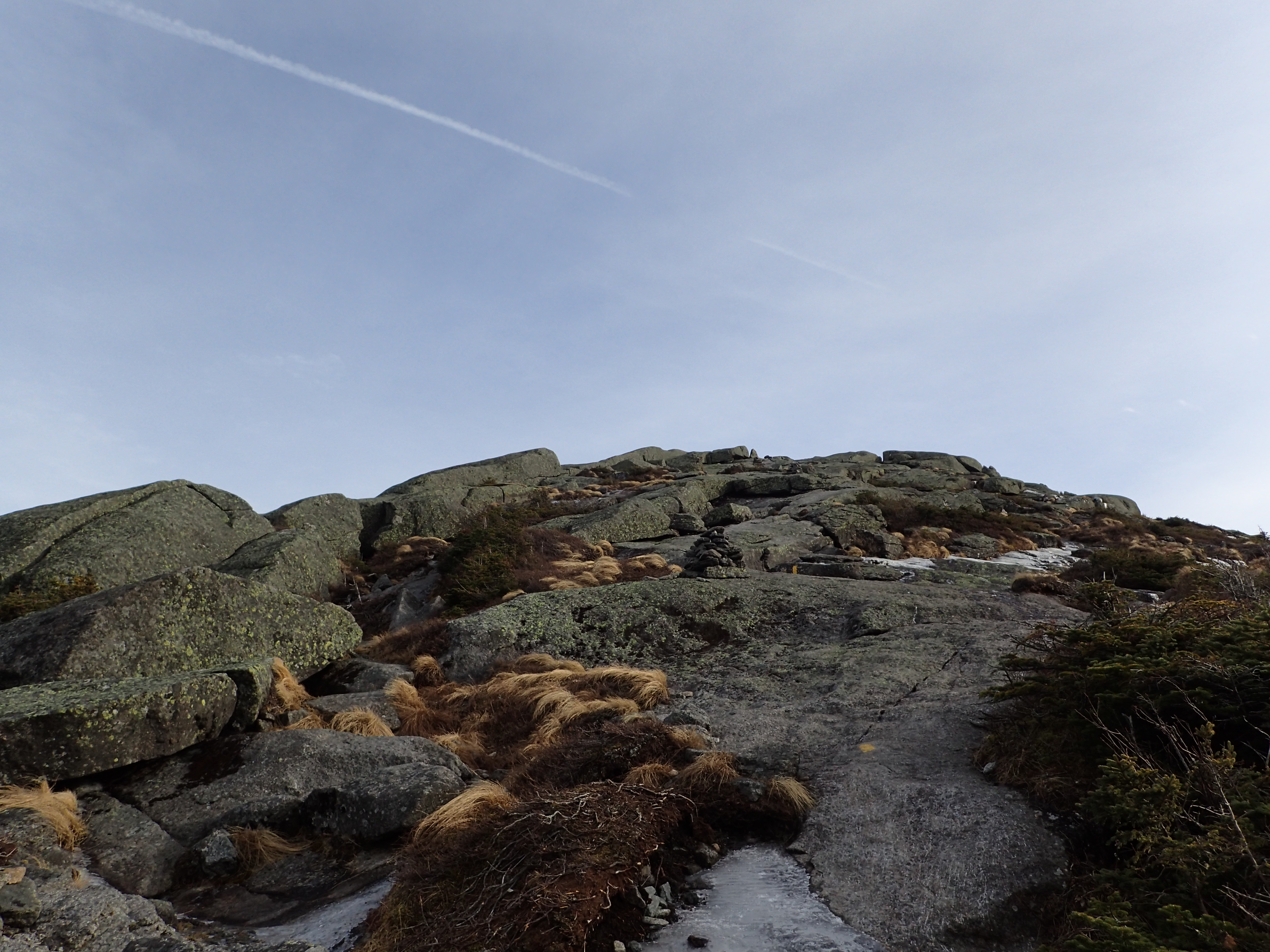
Looking up towards the Wright Peak summit ridge.
There weren’t really any significant steep sections or bulges to navigate so I was able to make pretty quick progress. Unfortunately, in my haste I forgot to record my summit time but from the junction it didn’t take too much time overall.
Looking back at Algonquin from Wright Peak.

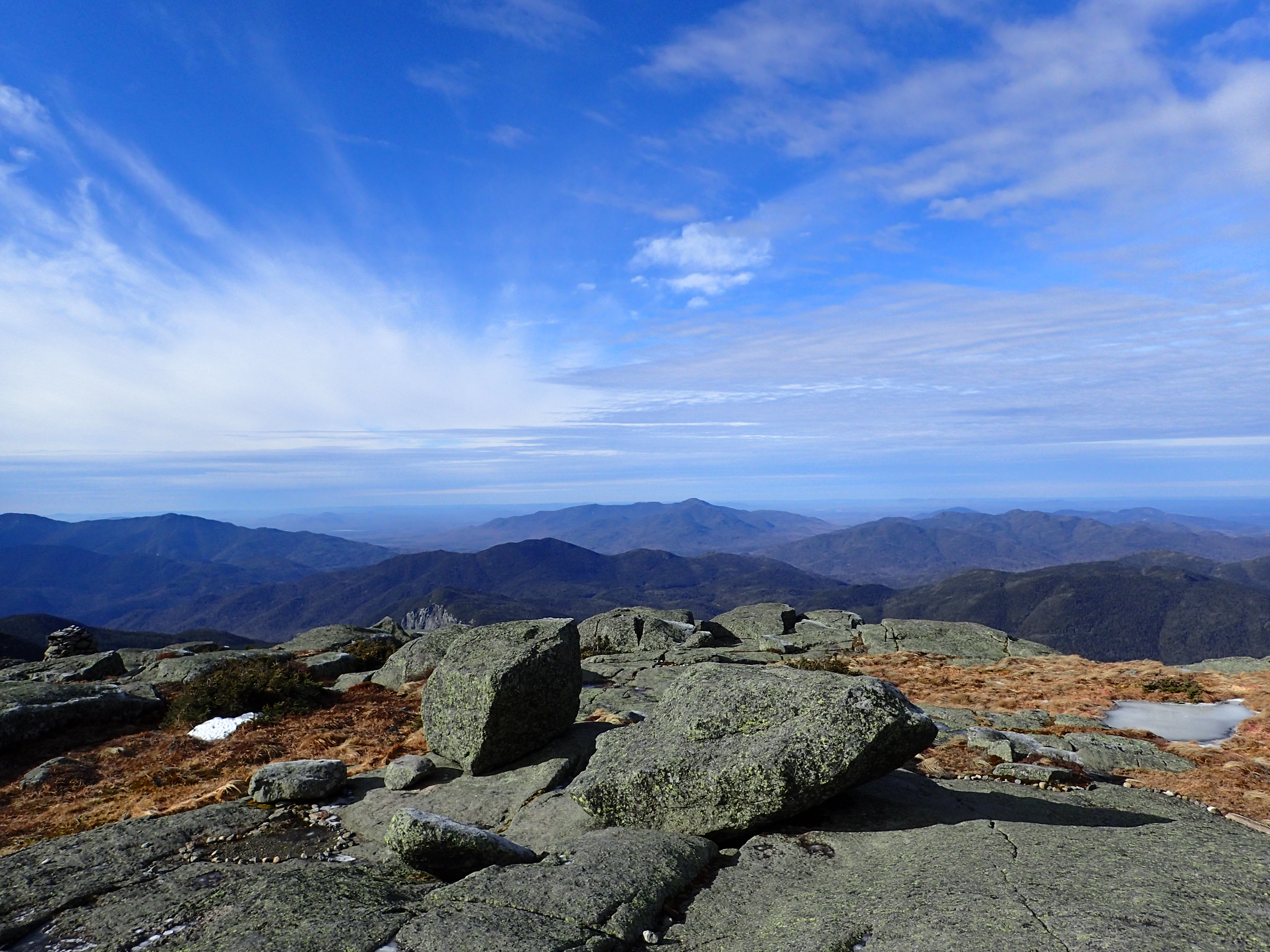
Looking back towards where I started from the summit.

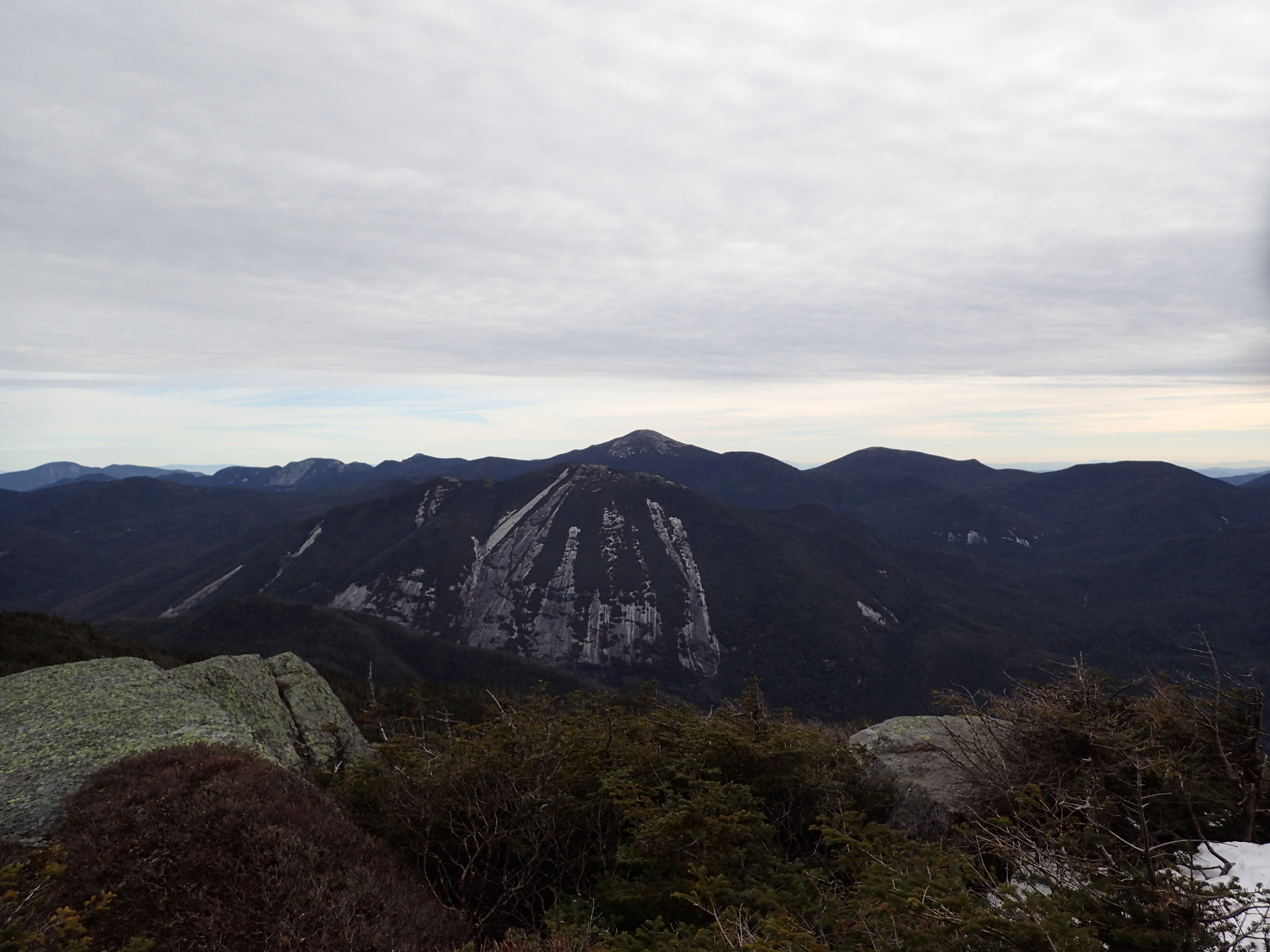
View of the Great Range from the summit of Wright Peak.
After taking in my last views from the summit I buckled down for my descent back to the car. I picked up my pace and was hoping to get back down before the sun started to set. Normally I wouldn’t care about hiking in the dark but I realized earlier in the day I didn’t have my headlamp with me which would have made for an interesting night. I passed a good number of people on the way down but otherwise it was mostly uneventful. I removed my micro spikes a little further down from where I had put them on and after that I was able to pick up my pace even more from that point on.
All in all it was a beautiful day in the High Peaks and I was really glad I got some great moments on such beautiful peaks. I could have done without running into so many large groups but unfortunately that is just how it goes sometimes. Luckily I made great time and made it back to the car by 4:13 pm and didn’t have to worry about not having my headlamp. I’m not sure what peak I will do next but before too long it will be time to finish up my Winter 46 list!
Categories: Adirondack High Peaks Region, New York, Trip Reports


Adam, this post needs the “trip report” tag. TrailsNH only picks up the posts that have it.
Ya, that’s such a beautiful ridge. Was a perfect day when I was up there. Wright > Algonquin > Boundary > Iroquois > Shepard’s Tooth > Marshal was my first ADK hike. I had already done the New England 4000’s and 100 highest. That was back in 2001 I think. Just completed the 46 on Allen this past summer (8/2015).
Thanks for posting. I’ll be following along.
-Kimball
LikeLiked by 1 person
Thank you for catching that, I knew I forgot something! Thats a great first hike in the Adirondacks. I am slowly working on my Northeast 111 but with a 6hr drive the NH ones are going to take a little while.
LikeLike