
TRIP REPORT: Mount Marshall via Loj – Adirondacks, NY 10-17-15
Hiking stats at a glance:
~15.5 miles
~3,500
1 High Peak – Marshall 4,380 ft
Snow and Below Freezing Weather
~12 hrs
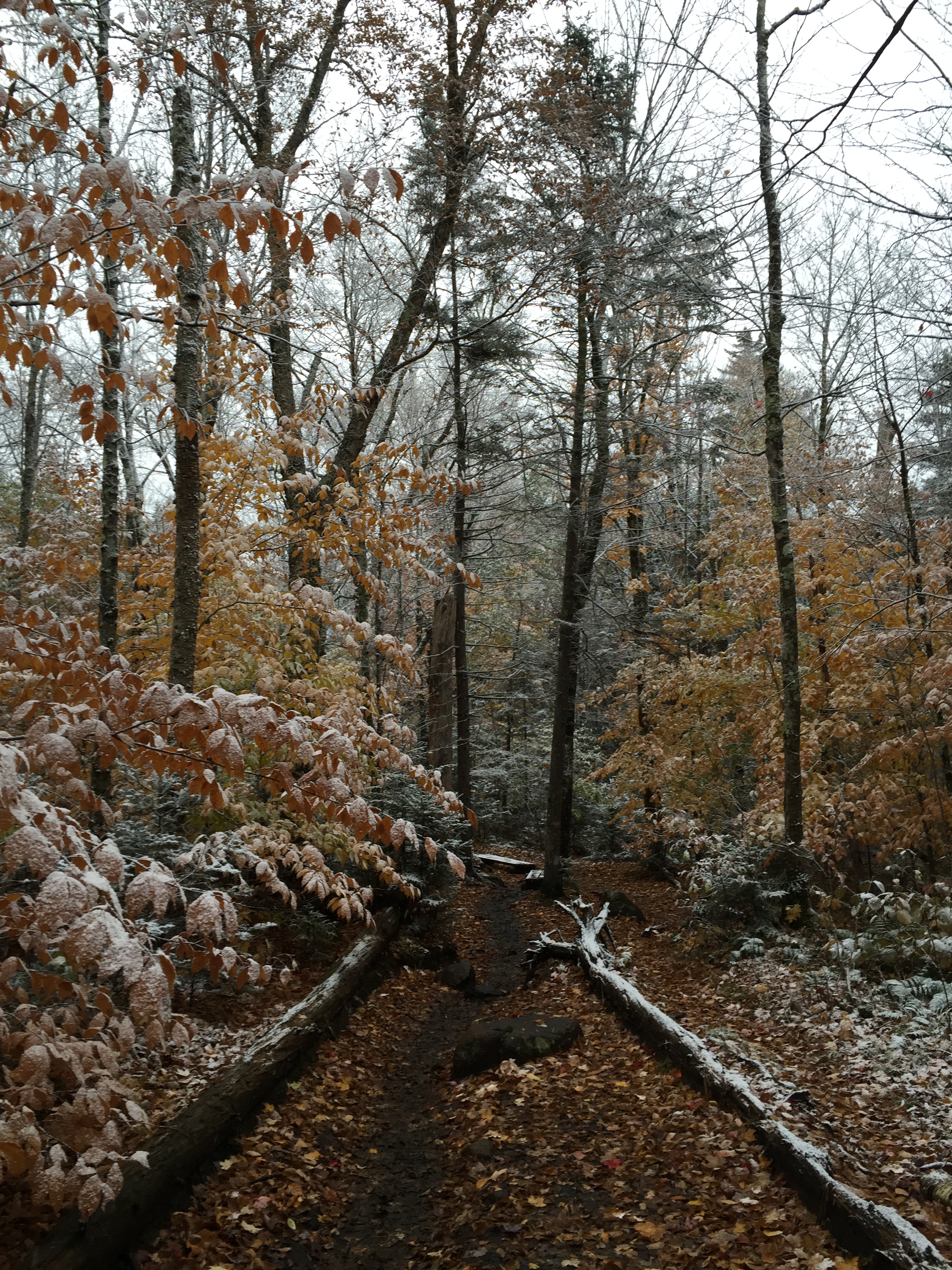
This past weekend Kelly and I left New Jersey to tackle my last peak to complete my Adirondack 46, Mount Marshall. Originally we expected to have maybe light rain or snow showers throughout the day but it turned out to be very cold and snowy, resembling winter more than fall! We set out from Lake Placid early and made it to the Loj parking lot at around 7:30am. We geared up and hit the trail around 8am ready to go. At this point it was cold but not so bad and we were only dealing with intermittent flurries. The trail from the parking lot to Marcy Dam was snow free but the white snow on the fall colors made for a really beautiful sight throughout the day.
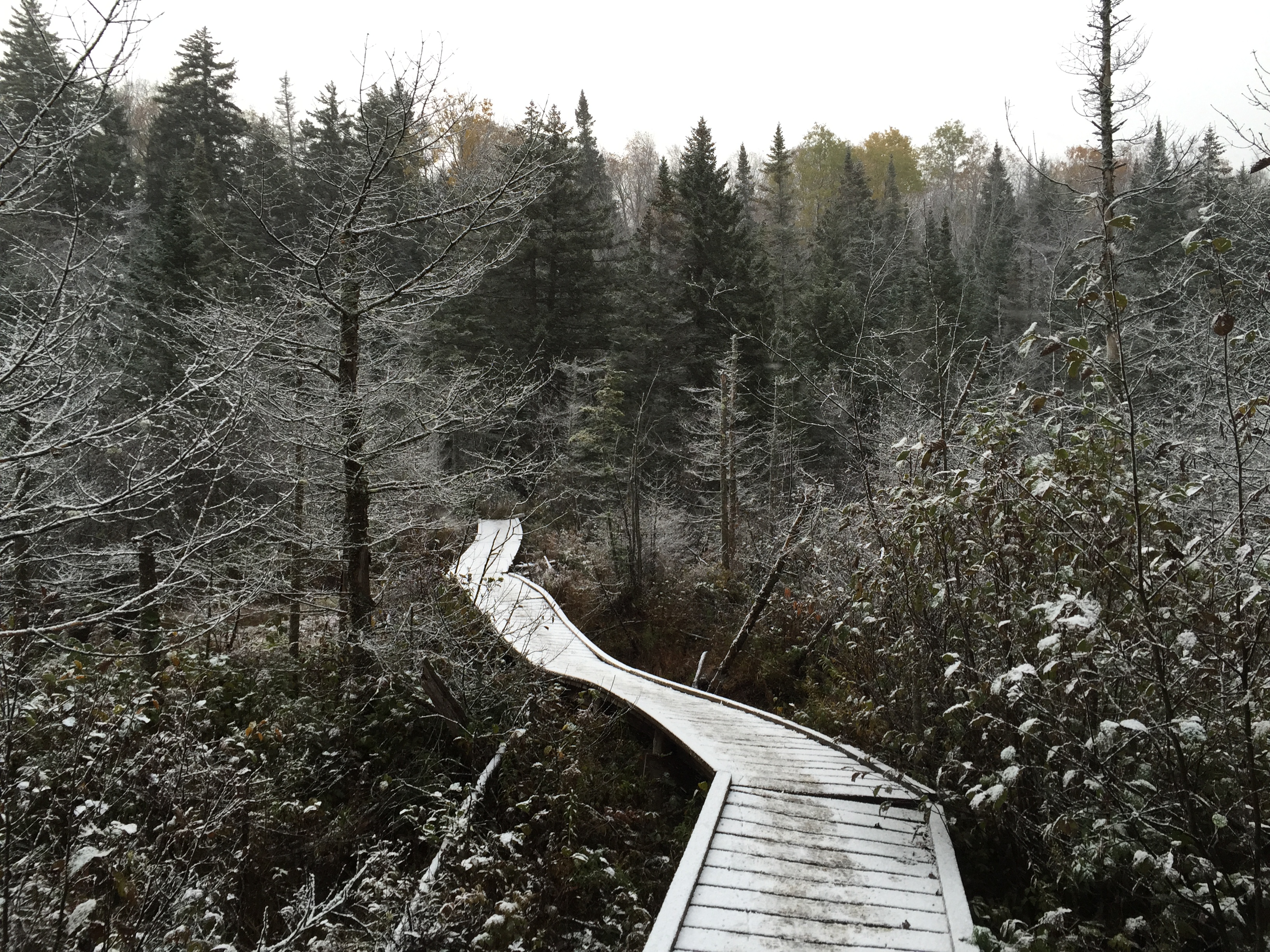
I’m not sure if its just me but the boardwalk over the marsh seems to be leaning more and more every time I cross it.
When fall and winter collide.

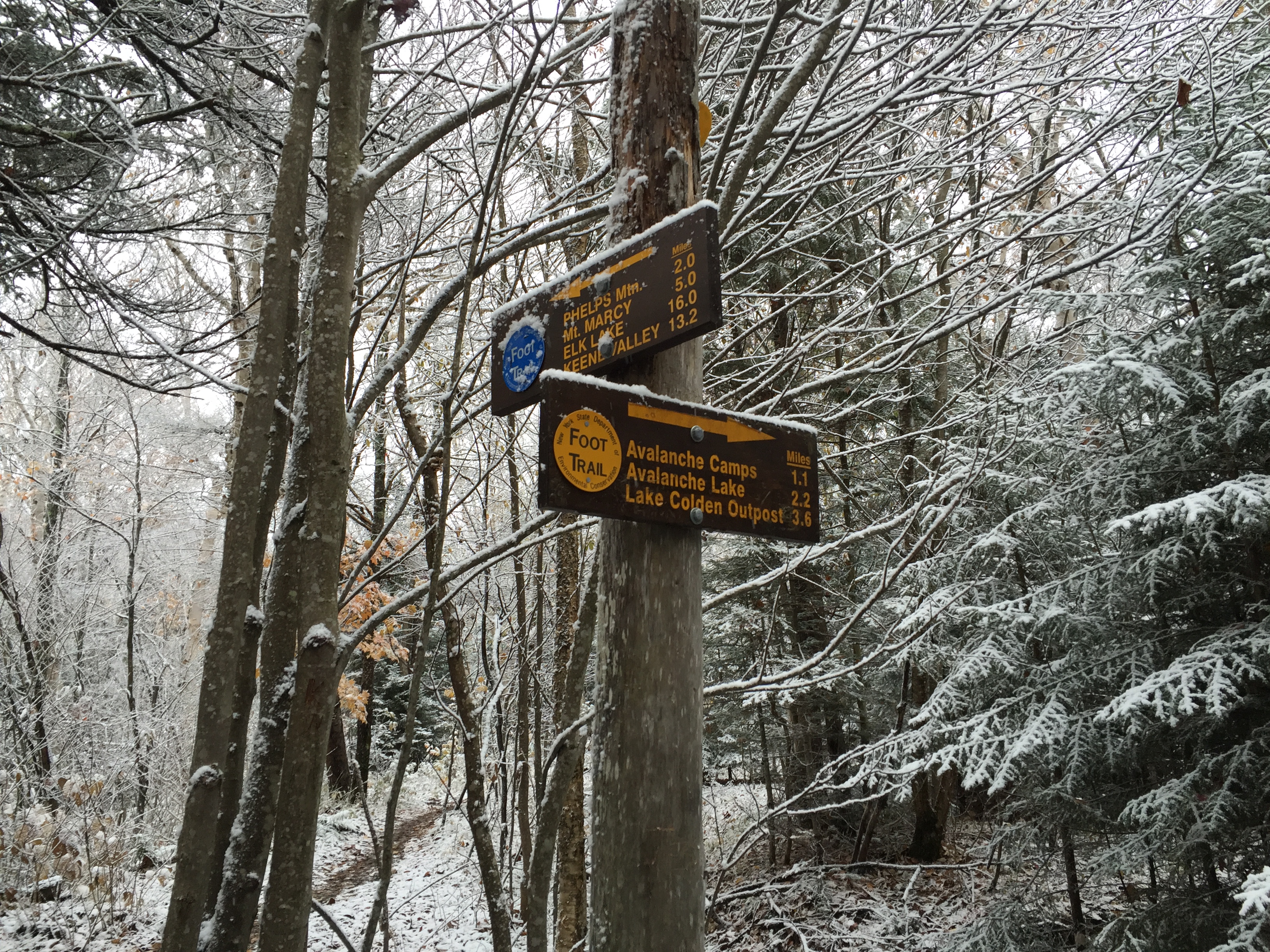
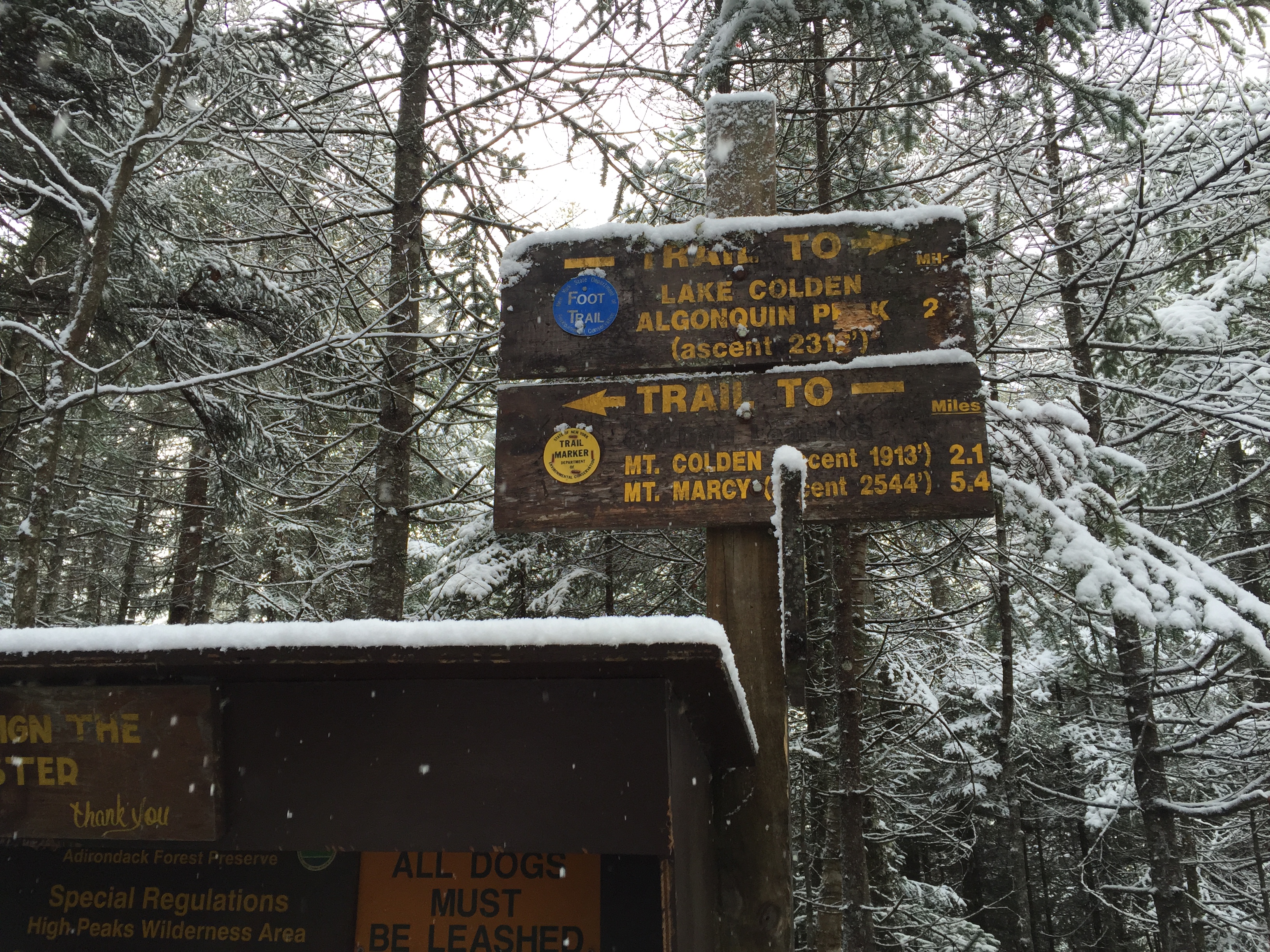
Trail junction near the start of the trail between the Loj and Marcy Dam. You want to keep heading towards Marcy Dam from here.
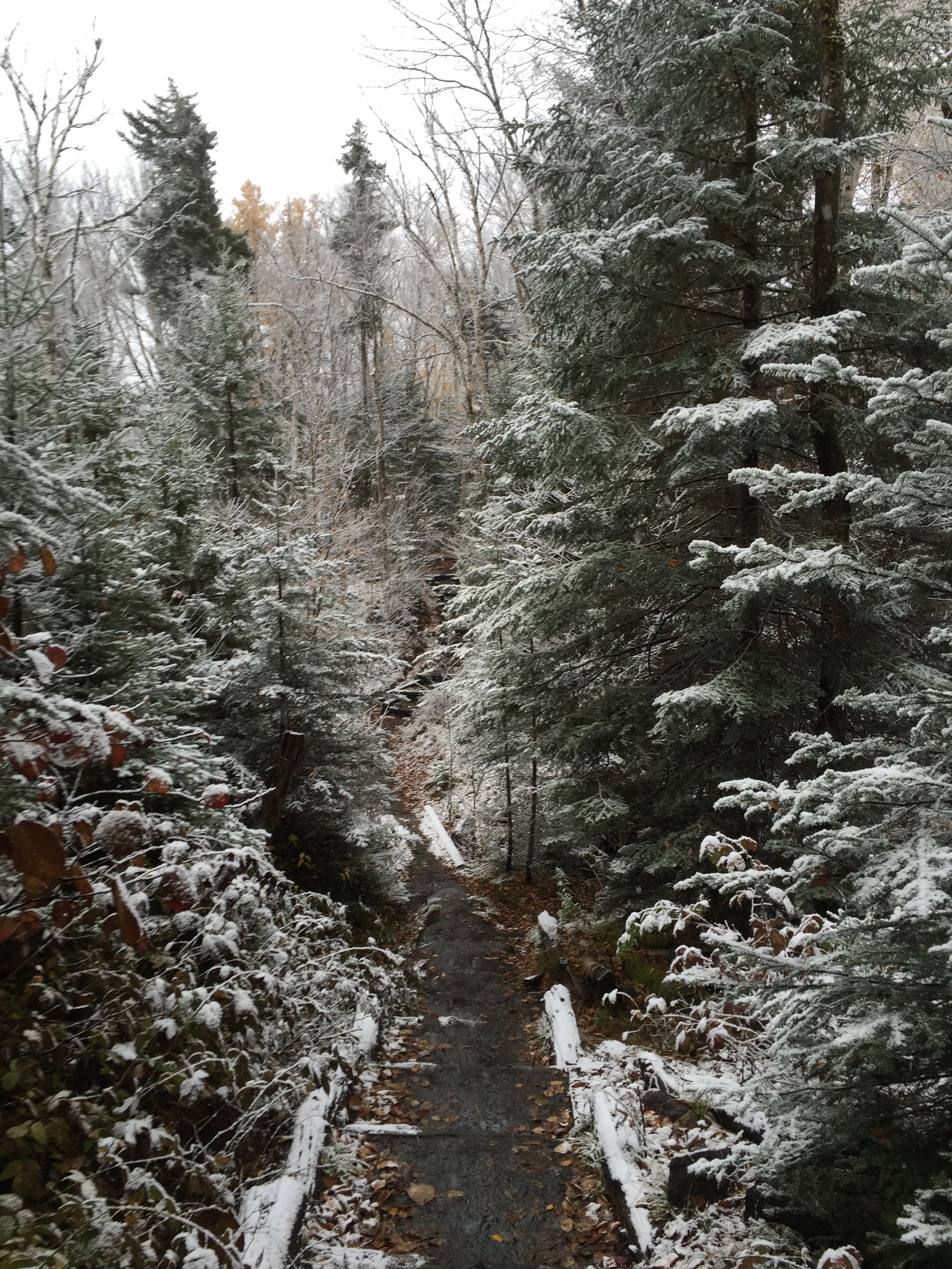
We made quick work of this section of trail which I like to refer to as the Adirondack Super Highway. At the beginning of the hike the trail was fairly snow free but once we got to the dam the snow seemed to get heavier.
The Adirondack Super Highway to Marcy Dam.
I have passed the dam at least a dozen times at this point but I still think it is a beautiful spot, especially the bridge crossing over the brook. I thought the dam had already been dismantled at this point so I was pleasantly surprised to see it still standing.

Bridge crossing over the brook near Marcy Dam.

Looking back towards Marcy Dam from the bridge.
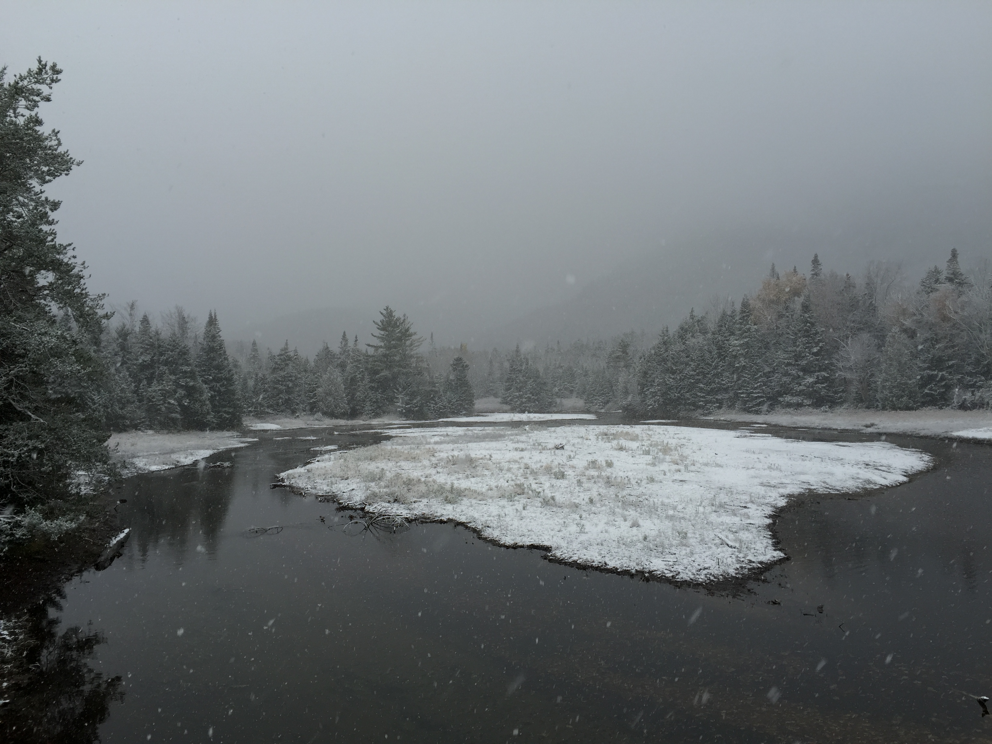
Cloudy view from the dam.
We only stayed long enough at the dam to take some pictures before we kept on moving towards Avalanche Lake. The route to Marshall through Avalanche lake is perhaps more challenging than others but as it is my favorite place in the High Peaks I knew I wanted to pass through it on my way to my final peak. I also started my 46er journey on Mt Colden climbing the Trap Dike in February 2012 so passing through the same spot on my last peak had some added symbolism for me. Although that being said I would still highly recommend this route to others for the sake of the beautiful scenery along the way.
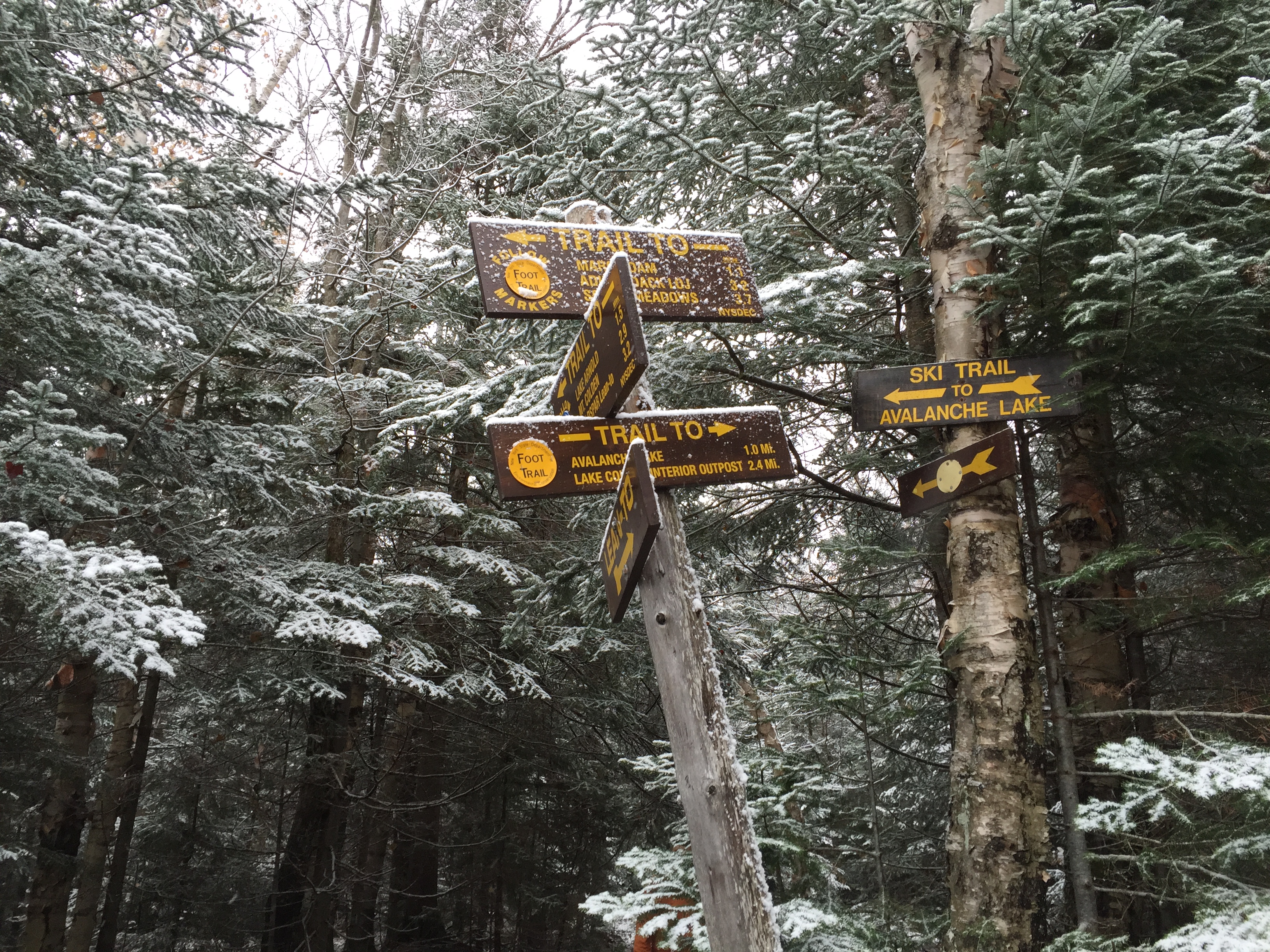
From the dam just keep following the signs for Avalanche Lake.

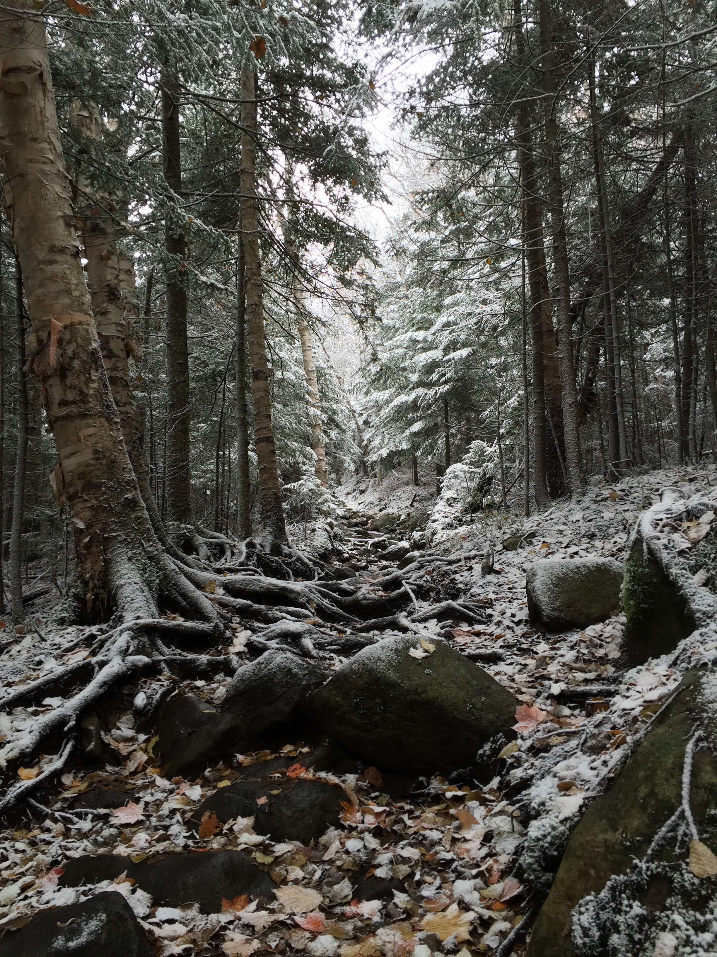
Crossing another brook on the way to Avalanche Lake.
You will pass a few junctions in close succession before reaching the final couple of mile approach to the lake.
We made pretty quick work of this section as well. From the Dam to Avalanche Lake the trail is still fairly flat and luckily despite the snow it was not icy yet.
The fall colors mingled with the fresh snow was a beautiful sight at lower elevations.

One of several boarded sections as you approach the pass leading to Avalanche Lake.

Once the walls start closing in on the trail you know your getting close.
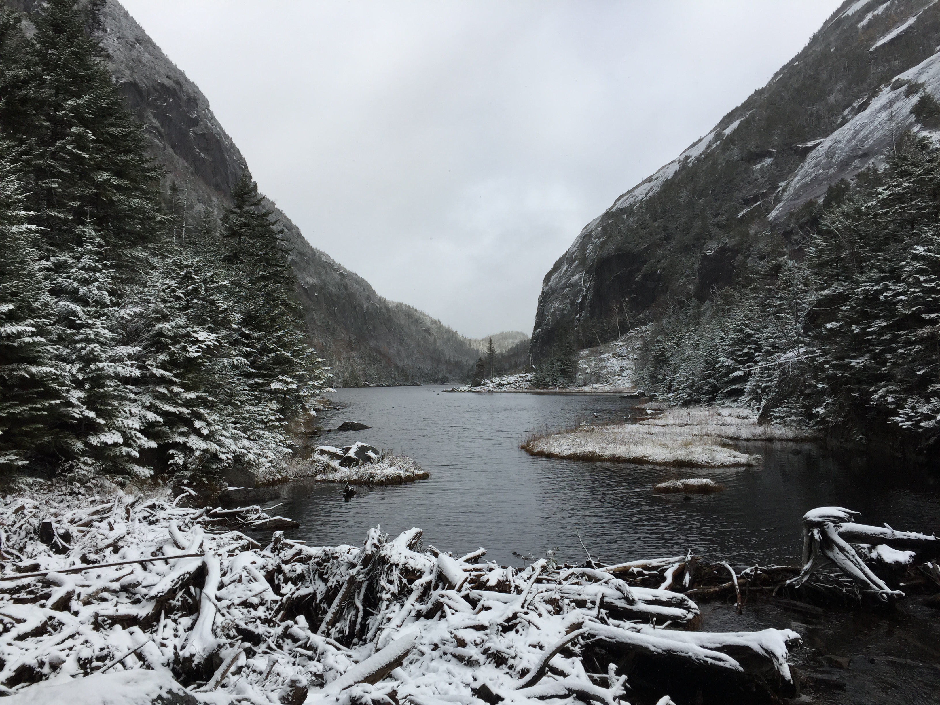
There isn’t much I can say about Avalanche Lake to do it justice so I will just let the photos speak for themselves. Even after exploring quite a bit of the area it still stands as my favorite spot in the High Peaks.

First view looking out over Avalanche Lake.

Boarded trail leading around the steep cliffs surrounding the lake.

Looking back towards the way we had come.

Looking over the lake towards the Trap Dike leading to the summit of Mt Colden.

Enjoying a brief moment of sunshine over the lake.

Trail over the lake.
Looking back from the opposite end of the lake.
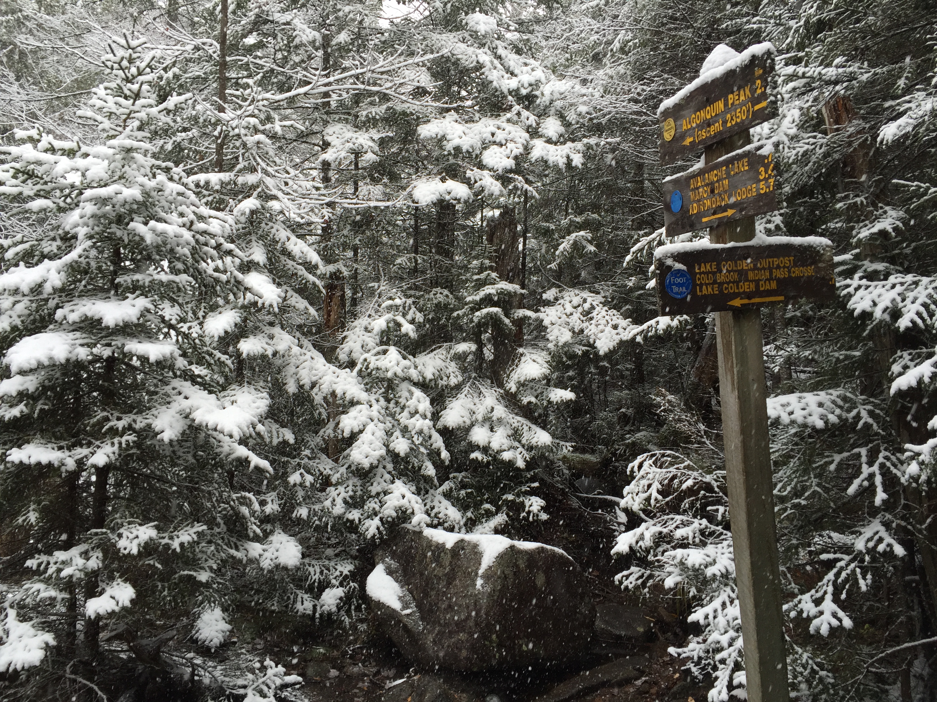
While we were working our way across the lake the sun did make a brief appearance which got us excited but sadly it didn’t last very long and we were soon hiking back under cloud cover. Once we got on the other side of the lake we hiked a short distance further before reaching the next trail junction. From here we followed the sign for Algonquin which would lead us toward the Cold Brook Pass trail.
Trail junction after passing the lake. You want to keep heading towards Algonquin from here.
Next junction soon after the last. From here keep heading towards Algonquin as well.
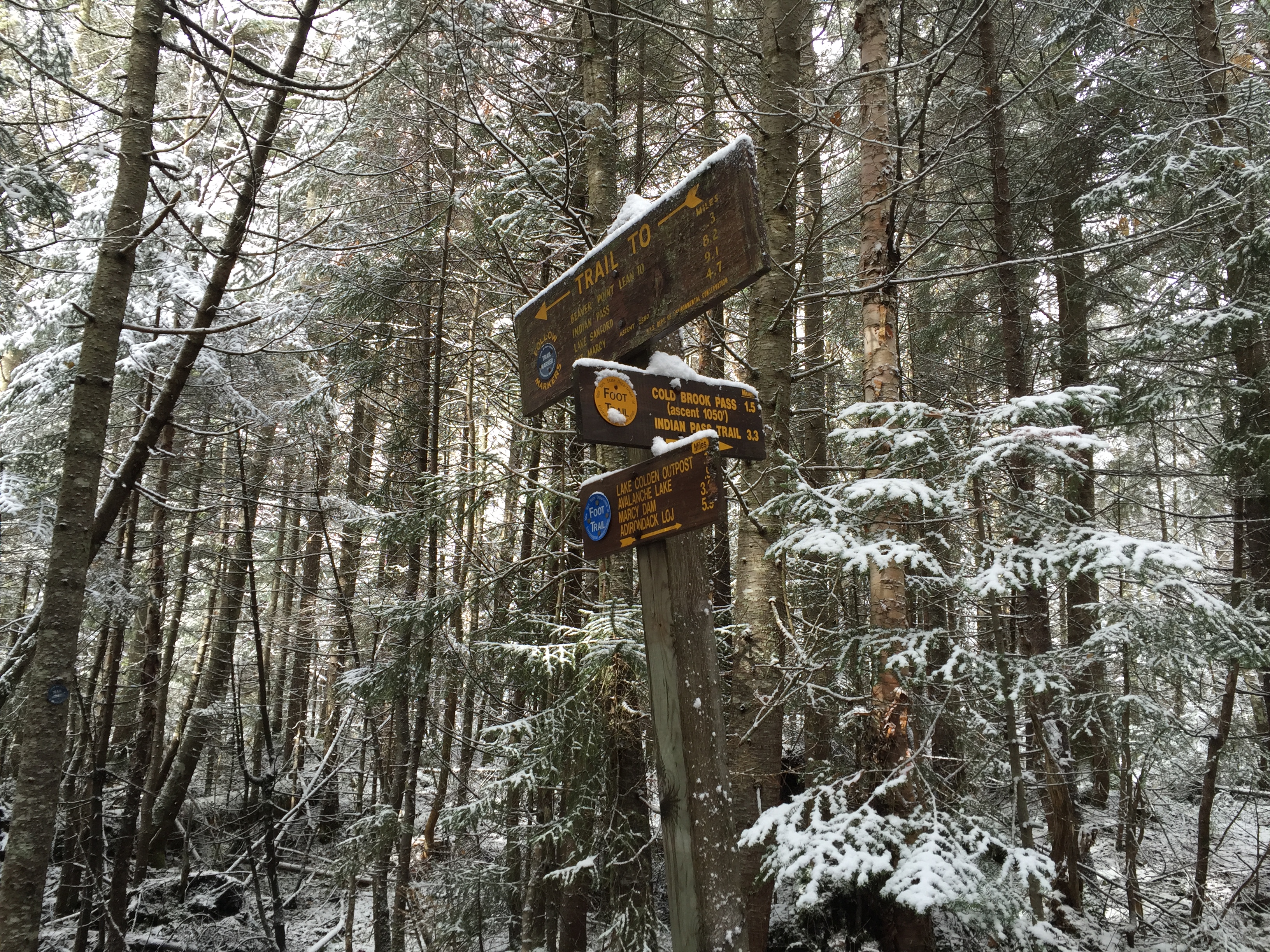
Trail junction marking the start of the Cold Brook Pass trail.
After following a quick succession of trail junctions towards Algonquin we reached the start of the yellow marked Cold Brook Pass trail. From this point the real ascent of the day began. I had heard that Marshall was an overall wet trail up a brook but I have to admit I really underestimated quite how wet it was. I was expecting a trail similar to other brook trails but this one was really much worse, especially in the days conditions. The trail started off pleasant enough through the woods but as we got higher the trail stuck to the brook more and more and got progressively harder to climb.

Start of the Cold Brook Pass trail.
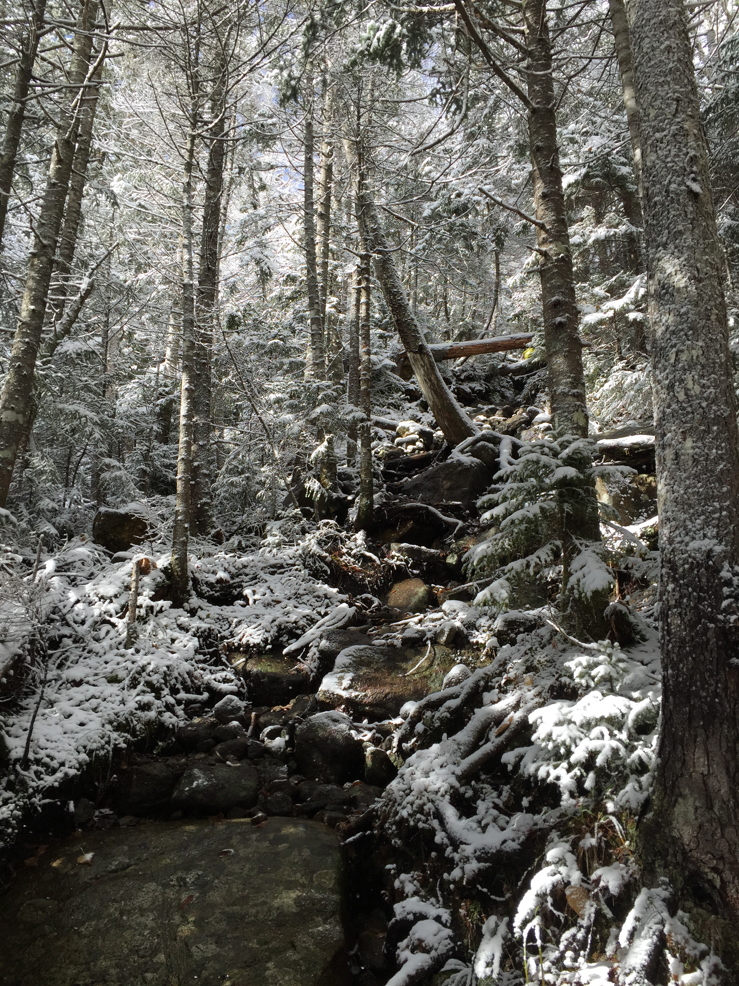
The trail working its way up Cold Brook Pass.
The trail wouldn’t have been so bad if it had been dry or simply just raining but the snow made for slow progress. We were constantly trying to get around still flowing water while trying not to slip off snowy rocks which made every step a challenge. Despite all of that we did eventually make it up to the col between Iroquois and Marshall. From here there was still a bit more ascent to make but thankfully there was “slightly” less water to deal with, at least for a little while.

Boards leading across some deeper water sections between Marshall and Iroquois.
Once we passed the low section of the col we were back in the line of the brook and trying to stay dry which was mostly successful if not painfully slow. At this point the snow also got quite a bit deeper.

Nearing the start of the herd path for Marshall.
Once we started going up again we kept an eye out for the cairn on the left side of the trail marking the start of the herd path up Marshall. Luckily there was one person ahead of us headed for Marshall so we had tracks to follow for a bit but once I spotted the cairn I noticed the foot prints kept going past without stopping so I guess they had decided not to tackle to summit after all.

Snowy cairn marking the start of the Marshall herd path.
Once we started making our way up the herd path the weather kicked up again and it got quite cold so we tried to move quickly and as a result I stopped taking photos along the way. The trail had not been broken yet so I had to take care to weave our path through the woods up periodic steep sections using water clues I could find. Luckily it was still more or less easy to find the path of least resistance through the thick vegetation. The herd path leads you up a short hump before descending again into another col and back up directly to the summit of Marshall which has a summit sign high up in a tree. When we started descending again I the vegetation got quite thick and I thought for a moment that we might have wandered off the wrong way but luckily right at that moment two other hikers came up behind us which reassured us we were going the right way. It was really pretty impeccable timing. The other hikers broke the trail the rest of the way and we followed them up to the summit in short order. We reached the summit at 3:54pm, later than I would have liked but given the conditions not totally unexpected.

Summit of Mt Marshall.
Due to the blowing snow and cold weather we didn’t linger long to celebrate and started heading back down the mountain. Luckily this post is already bloated enough with photos as I didn’t take any on the way back down the mountain due to weather and just trying to make up lost time.
Once we got back down to the end of the herd path the way we had come we hung a left back down Cold Brook Pass planning to exit via Heart Lake. It was dark by the time we got lower down on the mountain due to the slow pace we had to keep going down because of the water and snow. As a result it was a little confusing finding the correct route back and fourth across the various brook crossings but with some patience we eventually made it back to the Indian Pass trail which would lead us out toward Heart Lake. By the end we were thoroughly wet and hungry but otherwise no worse for wear. Marshall turned out to be harder than I had expected it to be but the conditions certainly played a big part in that. It was still a fun peak to climb and I look forward to climbing it again soon, hopefully with better weather!
In the end it was a great way to finish out my 46. I’m glad that I was able to get a full value experience to end it out and I wouldn’t have wanted it any other way. The following morning we made a stop at Chapel Pond to enjoy a couple of mimosas with the mini champagne bottle I had carried the whole day on our hike but never had a good opportunity to drink. I don’t think champagne ever tasted any better.

Categories: Adirondack High Peaks Region, New York, Trip Reports

